The best walks and hikes around Ondreville-Sur-Essonne
4.4
(130)
532
hikers
66
hikes
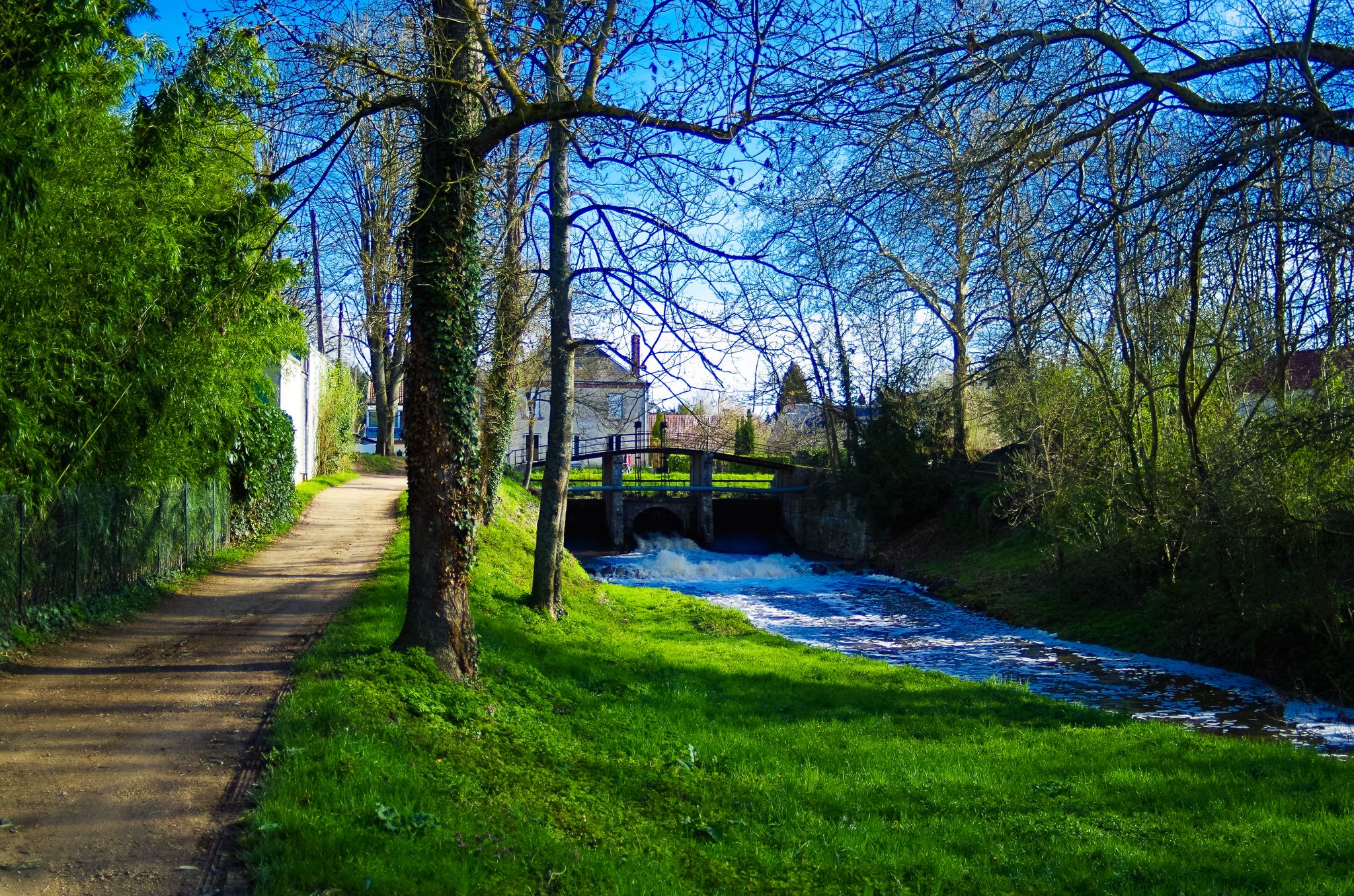
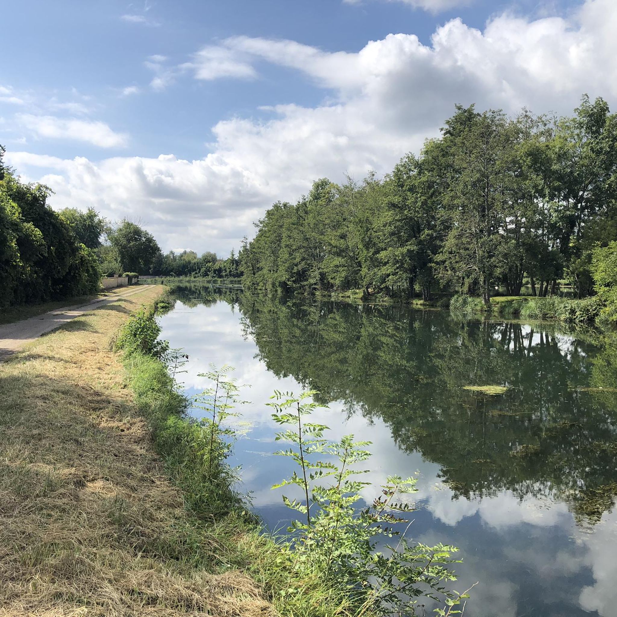
Hiking around Ondreville-Sur-Essonne offers diverse natural landscapes, characterized by the verdant Essonne river valley and its surrounding "cuestas" (slopes). The region features significant ecological areas, including the Moulin de la Porte Marsh, a 20-hectare wetland, and is part of the Natura 2000 network. Hikers can explore environments ranging from calcicolous flora and dry limestone grasslands to alder and ash forests.
Best hiking trails in Ondreville-Sur-Essonne
- The most popular hiking route is Rimarde Trail, a 5.6 miles (9.1 km) trail…
Last updated: July 4, 2026
16
hikers
9.09km
02:22
60m
60m
Moderate hike. Good fitness required. Mostly accessible paths. Sure-footedness required.
3.8
(8)
31
hikers
9.20km
02:24
70m
70m
Moderate hike. Good fitness required. Easily-accessible paths. Suitable for all skill levels.

Sign up for free
3.8
(4)
11
hikers
6.29km
01:38
40m
40m
Easy hike. Great for any fitness level. Easily-accessible paths. Suitable for all skill levels.
4.5
(4)
10
hikers
15.3km
04:00
120m
120m
Moderate hike. Good fitness required. Easily-accessible paths. Suitable for all skill levels.
4.0
(1)
5
hikers
Easy hike. Great for any fitness level. Easily-accessible paths. Suitable for all skill levels.
Get access to more routes and recommendations from other explorers.
Sign up for free
Already have an account?
Our route recommendations are based on thousands of hikes, rides, and runs completed by other people on komoot.
Start today with a free account
Your next adventure awaits.
Login or Signup



Other adventures around Ondreville-Sur-Essonne

Tips from the Community

A huge magnifying glass on a plane tree
0
0

Let's follow the Oeuf and the Rimarde sources of the Essonne, pass wash houses, fortified farms, a ruined castle and an atypical residence whose walls are made of glass bottles
0
0

Superb little place that I discovered recently.
1
0
Behind a door, pretty little wash house.
0
0

Château d'Augerville is a historic castle located in the commune of Augerville-la-Rivière, in Loiret, France. It dates back to the 12th century, when it was a hamlet and fort for the d'Augerville family. It changed hands several times during the Middle Ages and the Renaissance, and hosted important figures such as Catherine de Medici and King Charles IX. In the 17th century, it was sold to the taxes and renovated into a country house by Jean Perrault de Montevrault. It remained a private residence until the 21st century, when it was transformed into a 5-star hotel with a golf course, spa and chocolate factory. It is a historic monument, a national heritage site of France.
2
0

Permanent place of artistic creation taking place at the foot of the Château des Deux Tours, built in the 13th and 15th centuries and today in ruins.
0
0
A private Louis XIII-style castle, it has a magnificent park crossed by the Egg, a river taking its source in the forest of Orléans and flowing into the Essonne. There is also an 18th century dovecote.
0
0

Frequently Asked Questions
How many hiking trails are available around Ondreville-Sur-Essonne?
There are over 60 hiking routes in the Ondreville-Sur-Essonne area, catering to various skill levels. You'll find a good mix of easy walks and moderate hikes, with 34 easy and 28 moderate trails to explore.
Are there any easy or beginner-friendly hikes in Ondreville-Sur-Essonne?
Yes, the region offers many easy trails perfect for beginners or those seeking a relaxed stroll. An excellent option is the Garden of the Théâtre des Minuits loop from La Neuville-sur-Essonne, an easy 7.1 km path that allows you to enjoy the local scenery without significant challenge.
What kind of natural features can I expect to see on the trails?
The trails in Ondreville-Sur-Essonne showcase a rich diversity of natural features. You'll frequently encounter the picturesque Essonne River Valley, lush wetlands like the Moulin de la Porte Marsh, and varied forest types including alder and ash. The region is also known for its calcicolous flora and dry limestone grasslands.
Are there any historical landmarks or points of interest along the hiking routes?
Absolutely. Many trails weave through areas rich in history. You can discover historic watermills along the Essonne River, and some routes offer views of sites like the 14th-century Manoir de La Taille (Château de Bondaroy) or the impressive Augerville Castle. The charming village of Yèvre-le-Châtel, with its Romanesque church and Saint Lubin Chapel, is also nearby and offers additional walking paths.
Are there any circular walks or loop trails available?
Yes, many of the trails in the area are designed as convenient loops. For instance, the popular Augerville Castle – Lavoir d'Orville loop from Dimancheville is a moderate 9.2 km route, and the Briarres-sur-Essonne loop from Briarres-sur-Essonne offers an 8.9 km journey through the river valley.
What do other hikers enjoy most about hiking in Ondreville-Sur-Essonne?
The area is highly rated by the komoot community, with an average score of 4.3 stars from over 100 reviews. Hikers often praise the tranquil river valleys, the ecological richness of the marshes, and the well-maintained paths that offer a blend of natural beauty and historical insights.
Are the trails in Ondreville-Sur-Essonne suitable for families with children?
Yes, the region offers several family-friendly options, particularly among the easier trails. The gentle terrain of the Essonne River Valley and the educational panels at the Moulin de la Porte Marsh discovery trail make for engaging outings for all ages.
Can I bring my dog on the hiking trails?
While specific regulations can vary, generally, dogs are welcome on many trails in the natural areas around Ondreville-Sur-Essonne, especially if kept on a leash. It's always a good idea to check local signage or park rules for any specific restrictions, particularly in protected ecological zones like the ZNIEFFs.
What is the best time of year to go hiking in this region?
Spring and autumn are generally ideal for hiking in Ondreville-Sur-Essonne. The weather is typically mild, and the natural landscapes are at their most vibrant, with blooming flora in spring and beautiful foliage in autumn. Summer can also be pleasant, but it's advisable to start early to avoid the midday heat.
Are there any longer, more challenging hikes for experienced trekkers?
While most trails are easy to moderate, you can combine routes or explore longer options like the Lavoir d'Orville – Château d'Augerville loop from Briarres-sur-Essonne, which covers 15.2 km. The region also includes portions of the long-distance GR 32 (now GR 655), offering opportunities for extended exploration along the Essonne valley.
Is there public transport access to the hiking trails?
Information on specific public transport links directly to trailheads is limited. However, Ondreville-Sur-Essonne is accessible, and local bus services might connect to nearby towns. For detailed planning, it's recommended to check regional transport schedules, as many visitors typically use personal vehicles to reach the starting points of the trails.
Where can I park my car when visiting the trails?
Parking is generally available in or near the villages that serve as starting points for many trails, such as Dimancheville or Briarres-sur-Essonne. Look for designated parking areas in these communes, often near town centers or public facilities, which provide convenient access to the trail networks.
Most popular routes around Ondreville-Sur-Essonne
Most popular attractions around Ondreville-Sur-Essonne

Get inspired with the komoot mobile app


Explore more
Browse the best Hikes in other regions.
