The best running trails around Alièze
4.1
(74)
3,750
runners
207
runs
Jogging around Alièze offers diverse landscapes for runners. The region, located in the Jura department of eastern France, is characterized by a significant proportion of forests and semi-natural environments, covering over 50% of its land. With elevations ranging from 538 to 686 meters, Alièze provides varied terrain, from gentle slopes to more challenging ascents. The area's proximity to numerous picturesque lakes and the broader Jura Mountains makes it well-suited for exploring on foot.
Best jogging routes around Alièze
- The most…
Last updated: July 3, 2026
21
runners
13.6km
01:42
350m
350m
Hard run. Very good fitness required. Mostly paved surfaces. Suitable for all skill levels.
3.0
(1)
10
runners
7.28km
00:47
100m
100m
Moderate run. Good fitness required. Mostly paved surfaces. Suitable for all skill levels.

Sign up for free
3.0
(1)
10
runners
9.02km
00:59
140m
140m
Moderate run. Good fitness required. Mostly paved surfaces. Suitable for all skill levels.
11
runners
11.0km
01:24
210m
210m
Moderate run. Good fitness required. Mostly paved surfaces. Suitable for all skill levels.
7
runners
6.89km
00:44
50m
50m
Moderate run. Good fitness required. Mostly paved surfaces. Suitable for all skill levels.
Get access to more routes and recommendations from other explorers.
Sign up for free
Already have an account?
Our route recommendations are based on thousands of hikes, rides, and runs completed by other people on komoot.
Start today with a free account
Your next adventure awaits.
Login or Signup

Tips from the Community

This easy-to-access circuit is perfect for exploring a loop that takes in varied and easy paths. However, bring a lamp as there are many tunnels and they are sometimes poorly lit.
1
0

Good bike path on the old railway line
1
0

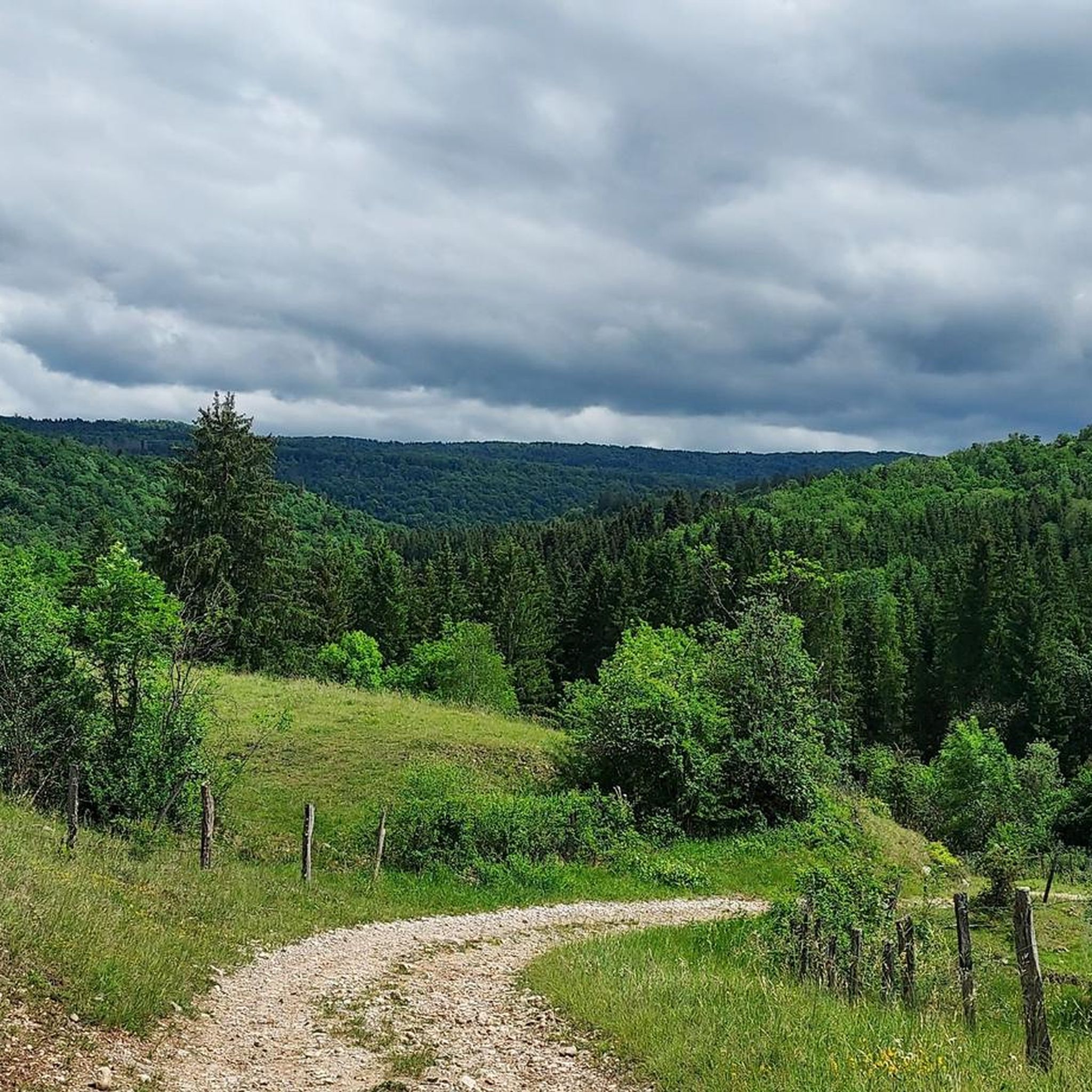
The Guillotine belvedere dominates the village of Révigny and its crescent-shaped retreat. It offers one of those typical panoramas of the Jura relief and landscape.
1
0
Frequently Asked Questions
How many running routes are available around Alièze?
There are over 190 running routes in the Alièze area, offering a wide range of options for different fitness levels and preferences. The region's diverse landscape, with its forests and varied elevations, provides ample opportunities for exploration.
Are there easy jogging paths suitable for beginners or families in Alièze?
Yes, Alièze offers several easy jogging paths. There are 7 routes specifically categorized as easy, perfect for beginners or those looking for a more relaxed run. These routes often feature gentler slopes and less challenging terrain, making them suitable for families too.
What kind of terrain can I expect on the jogging trails in Alièze?
The jogging trails in Alièze feature varied terrain, ranging from gentle slopes to more challenging ascents. The region is characterized by dense forests and semi-natural environments, with elevations between 538 and 686 meters, ensuring a diverse running experience.
Are there any long-distance running trails for experienced runners?
Absolutely. For experienced runners seeking a challenge, Alièze has 63 routes categorized as difficult. An example is the Les Baumes – Mont Bernier loop from Vernantois, which is a demanding 9.6 miles (15.4 km) path with significant elevation gain.
Can I find circular running routes in the Alièze area?
Yes, many of the running routes around Alièze are circular, allowing you to start and finish at the same point. For instance, the popular Beautiful views on both sides loop from Mesnois is a 5.8-mile (9.3 km) circular trail offering scenic vistas.
What do other runners say about the trails in Alièze?
The running routes in Alièze are highly rated by the komoot community, with an average score of 4.0 stars from over 60 reviews. More than 3,500 runners have explored the area, often praising the diverse landscapes, quiet woodlands, and the variety of trails available for different ability levels.
Are there any scenic viewpoints or natural attractions along the running routes?
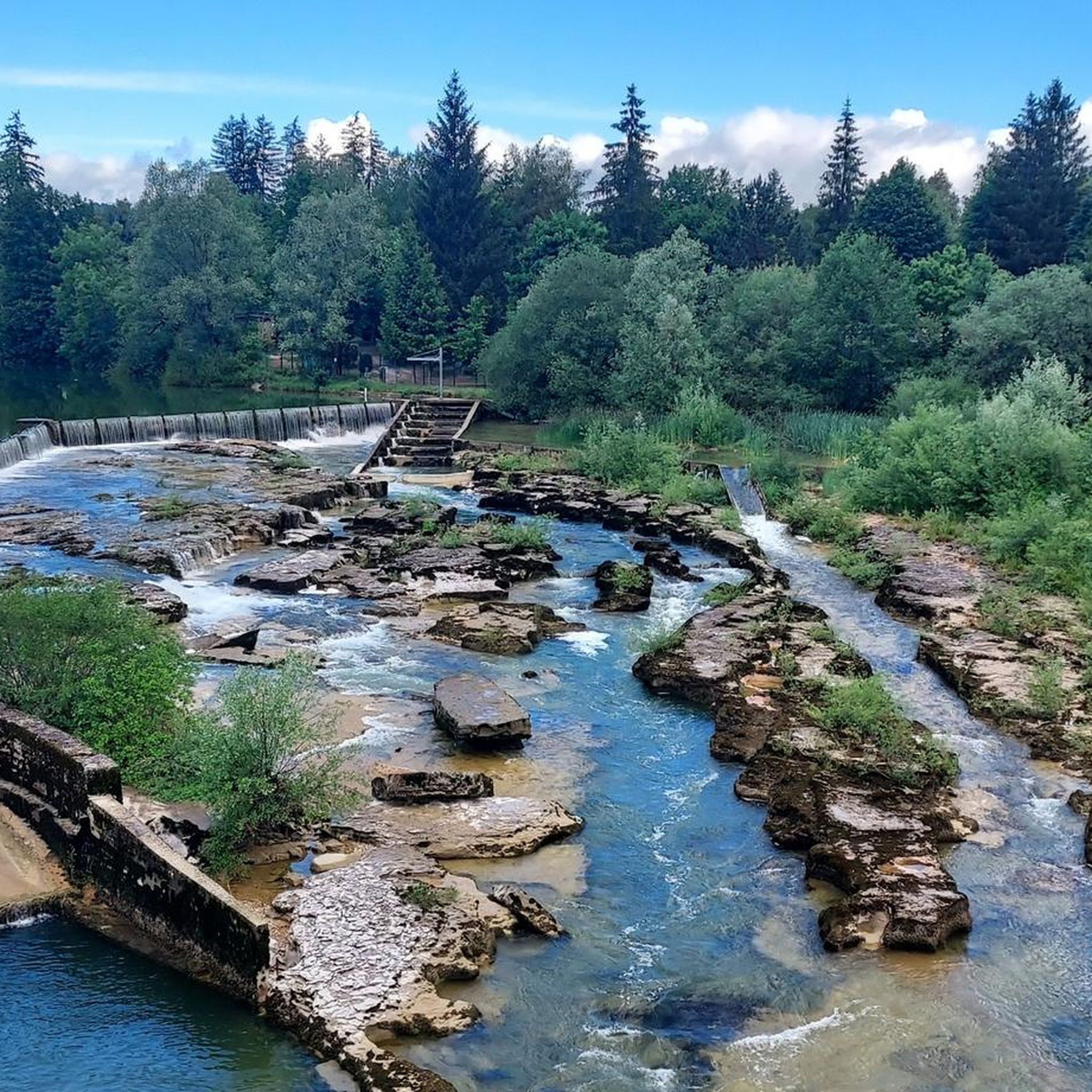
Yes, the Alièze region is rich in natural beauty. You can find stunning viewpoints and natural attractions. The broader Jura Mountains, where Alièze is located, offer panoramic vistas like those from the Pic de l'Aigle. You might also encounter highlights such as Quinquenouille Waterfall or Moss-Covered Rocks in the Forest near Lac de Vouglans.
Are there running routes that pass by lakes?
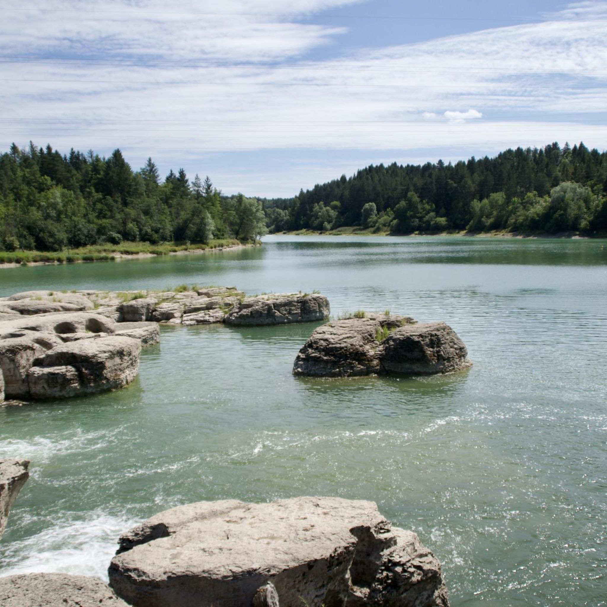
The Alièze area is dotted with numerous picturesque lakes, and many running routes offer scenic views or pass along their shores. The region is close to lakes like Lac de Clairvaux, Lac de Vouglans, and Lac de Chalain, providing beautiful backdrops for your run. You might even find highlights like Stunning view of the lake on some trails.
What is the best time of year to go running in Alièze?
Alièze, with its unspoilt nature and varied landscapes, is suitable for running throughout much of the year. The significant proportion of forests provides shade in warmer months, while the diverse terrain offers beauty in spring, autumn, and even mild winter days. Always check local conditions before heading out.
Can I find running routes that are close to the village of Alièze itself?
Yes, there are routes that start directly from or are very close to Alièze. For example, the Bois Revillard loop from Alièze is a moderate 4.5-mile (7.3 km) trail that begins in the commune, offering convenient access to local scenery.
Are there any routes that explore natural reserves or protected areas?
Yes, some running routes in the region traverse natural reserves. The Réserve de Mancy – Mont des Tartres loop from Macornay is a 7.5-mile (12.1 km) trail that leads through natural reserves and hills, offering a chance to experience the local flora and fauna.
Most popular attractions around Alièze

Get inspired with the komoot mobile app


Explore more
Browse the best Running Trails & Routes in other regions.
