The best MTB trails around Fresnoy-Le-Grand
4.5
(29)
91
riders
27
rides
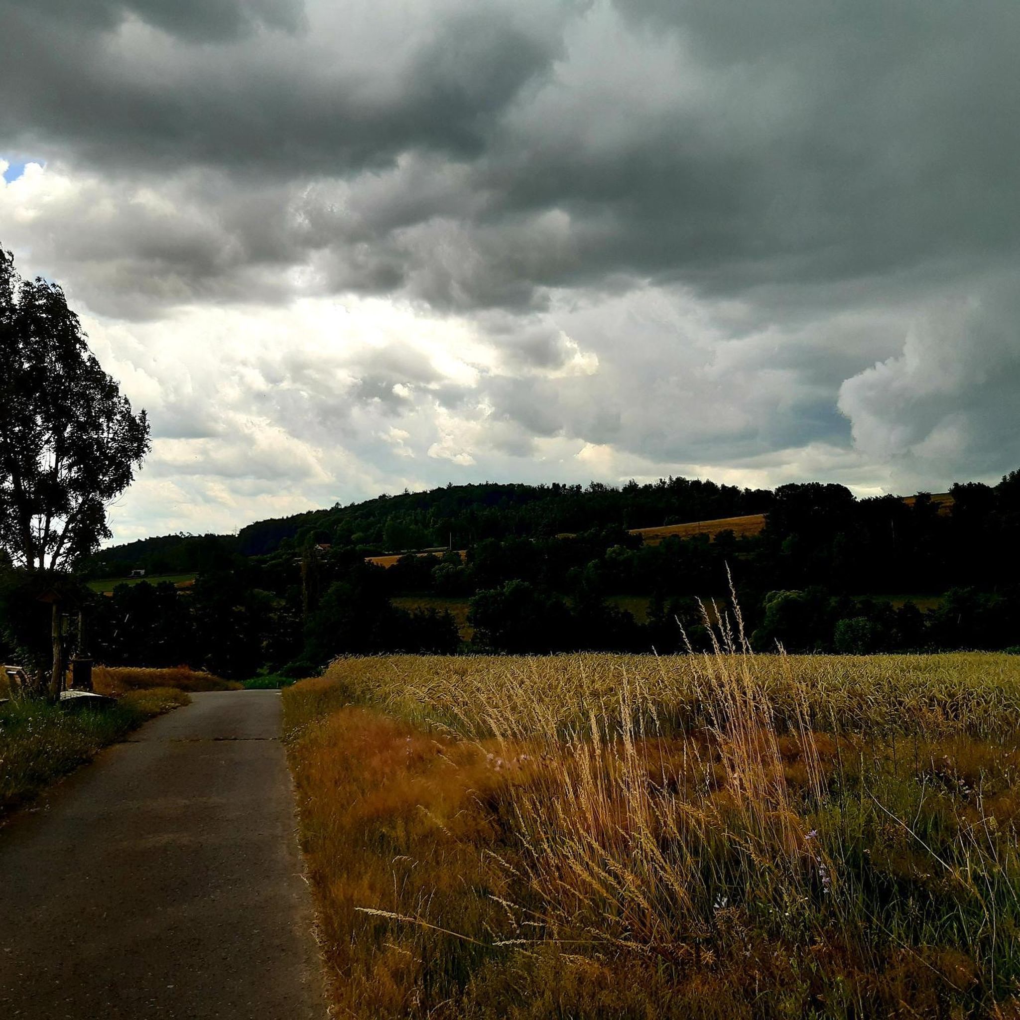
Mountain bike trails around Fresnoy-le-Grand, situated in the Aisne department of Hauts-de-France, traverse a landscape with modest elevations, typically ranging from 96 to 157 meters. The area features a mix of canal paths, agricultural lands, and some forested sections, providing varied terrain for cycling. Routes often incorporate historical points of interest and natural features such as river sources.
Best mountain bike trails around Fresnoy-Le-Grand
- The most popular mountain bike trail is Bench by the Canal – Canal de Saint-Quentin Path…
Last updated: June 29, 2026
4.8
(4)
14
riders
28.4km
02:07
170m
170m
Hard mountain bike ride. Good fitness required. Advanced riding skills necessary. Some portions of the route may require you to push your bike.
4.9
(7)
17
riders
35.3km
02:20
240m
240m
Moderate mountain bike ride. Good fitness required. Advanced riding skills necessary.

Sign up for free
4.6
(7)
22
riders
27.3km
01:36
130m
130m
Moderate mountain bike ride. Great for any fitness level. Advanced riding skills necessary.
4.0
(1)
10
riders
28.8km
01:45
100m
100m
Moderate mountain bike ride. Great for any fitness level. Advanced riding skills necessary.
4.5
(2)
4
riders
15.0km
00:53
120m
120m
Easy mountain bike ride. Great for any fitness level. Suitable for all skill levels.
Get access to more routes and recommendations from other explorers.
Sign up for free
Already have an account?
Our route recommendations are based on thousands of hikes, rides, and runs completed by other people on komoot.
Start today with a free account
Your next adventure awaits.
Login or Signup



Tips from the Community

Hello. This is a beautiful hike through nature and a nice park for recreation. the hike runs along a canal and a marshland with well-passable hiking trails. This hike is highly recommended !!!!!!!!!!!!!
0
0
An old path, abandoned for decades, redesigned as a downhill run with a smooth feel! Yes, I know, it's not the Alps! 😀🏞️ Watch out for any pedestrians...
0
0
A very pleasant walk along the canal in Rieval and a war memorial. Motorhome area departure point
0
0

This is where the Somme River rises. Its name is traced back to Celtic origins and also gives its name to the department of the same name. At the time when Gaul was part of the Roman Empire, the river was called the Samara. It ends its approximately 245-kilometer-long river life in the Baie de Somme, where it flows into the English Channel.
0
0

Beautiful surroundings walking route and maritime museum
0
0

A beautiful, tree-lined trail around the Saint-Quentin Canal. An easy, family-friendly route. Enjoy your walk.
0
0

Voies Navigables de France operates the Tronquoy river tunnel (1,098 m) on the Saint-Quentin canal, which dates from the beginning of the 19th century.
0
0
Frequently Asked Questions
What kind of terrain can I expect on mountain bike trails around Fresnoy-Le-Grand?
The terrain around Fresnoy-Le-Grand features modest elevations, typically ranging from 96 to 157 meters. You'll find a mix of canal paths, agricultural lands, and some forested sections, offering varied riding experiences. Routes often incorporate historical points and natural features like river sources.
Are there mountain bike trails suitable for beginners in Fresnoy-Le-Grand?
Yes, there are several easy mountain bike trails. For example, the Bench by the Canal – Canal de Saint-Quentin Path loop from Lesdins is an easy 34.3 km route that follows the Canal de Saint-Quentin, offering flat and scenic riding. Another good option is the Parc d'Isle – Isle Park loop from Lesdins, which is 21.7 km long and also rated easy.
What historical sites can I visit while mountain biking near Fresnoy-Le-Grand?
Several routes pass by historical points of interest. The Hindenburg Line bunker – Riqueval Towing System loop from Nauroy is a difficult 27.9 km path that includes significant historical sites from World War I. You can also find highlights like the Joncourt British Cemetery - World War 1 and the Monument to the Resistance and Lalaise Parachute Drop in the wider area.
Are there any long-distance or challenging mountain bike routes available?
For a more challenging ride, consider the Nice bike path – View of the Oise Valley loop from Fresnoy-le-Grand. This difficult route spans 55.7 km and features the most elevation gain in the area, offering views of the Oise Valley. The Hindenburg Line bunker – Riqueval Towing System loop from Nauroy is another difficult option at 27.9 km with varied terrain.
What do other mountain bikers say about the trails in Fresnoy-Le-Grand?
The mountain bike routes in Fresnoy-Le-Grand are highly rated by the komoot community, with an average score of 4.8 stars from over 20 reviews. More than 100 mountain bikers have used komoot to explore the varied terrain, often praising the mix of canal paths, historical landmarks, and riverine landscapes.
Can I find routes that feature natural attractions like river sources?
Yes, the region offers routes that highlight natural features. The Source of the Somme – Muid singletrack loop from Lesdins is a moderate 35.1 km trail that leads through varied landscapes, including the significant Source of the Somme River.
How many mountain bike trails are there in the Fresnoy-Le-Grand area?
There are over 25 mountain bike trails available around Fresnoy-Le-Grand, catering to various skill levels. This includes 10 easy routes, 13 moderate routes, and 2 difficult routes.
Are there any circular mountain bike routes around Fresnoy-Le-Grand?
Yes, many of the trails are designed as loops, allowing you to start and end in the same location. Examples include the easy Bench by the Canal – Canal de Saint-Quentin Path loop from Lesdins and the moderate Source of the Somme – Muid singletrack loop from Lesdins.
What is the general elevation profile for mountain biking in this region?
The Fresnoy-Le-Grand area is characterized by modest elevations, with the terrain generally ranging from 96 to 157 meters above sea level. While some routes feature more significant climbs, such as the 504 meters of ascent on the Nice bike path – View of the Oise Valley loop from Fresnoy-le-Grand, the overall landscape is relatively gentle.
What kind of scenery can I expect on the mountain bike trails?
You can expect diverse scenery, including tranquil canal paths, open agricultural fields, and some wooded areas. Many routes offer glimpses of the region's industrial heritage and pass by historical landmarks, providing a blend of natural and cultural landscapes.
Is Fresnoy-Le-Grand known for any specific local attractions besides biking?
While not primarily a mountain biking destination, Fresnoy-Le-Grand is historically known for its industrial heritage, particularly as the 'City of knitwear and enamel,' and is home to the Le Creuset foundry. For more general information about the town, you can visit its Wikipedia page.
Most popular attractions around Fresnoy-Le-Grand

Get inspired with the komoot mobile app


Explore more
Browse the best MTB trails in other regions.
