The best walks and hikes around Ramicourt
4.4
(138)
349
hikers
43
hikes
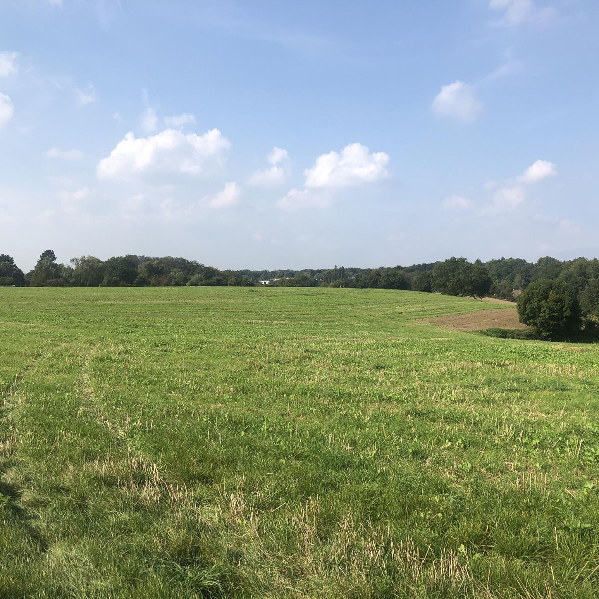
Hiking around Ramicourt offers diverse landscapes characterized by cultivated fields, prairies, and groves. The region features serene riverside paths along the Oise river and the Canal de la Sambre à l'Oise. Further afield, the broader Aisne department provides access to dense forests and varied terrain suitable for outdoor exploration. This area presents a mix of open horizons and more secluded wooded sections.
Best hiking trails around Ramicourt
- The most popular hiking route is Source of the Somme – The source…
Last updated: August 23, 2026
5
hikers
17.1km
04:35
210m
210m
Moderate hike. Good fitness required. Easily-accessible paths. Suitable for all skill levels.
4.0
(1)
5
hikers
Easy hike. Great for any fitness level. Easily-accessible paths. Suitable for all skill levels.

Sign up for free
7
hikers
Hard hike. Good fitness required. Sure-footedness, sturdy shoes and alpine experience required.
5.0
(1)
3
hikers
4.68km
01:14
40m
40m
Easy hike. Great for any fitness level. Easily-accessible paths. Suitable for all skill levels.
4.3
(3)
6
hikers
7.03km
01:51
60m
60m
Easy hike. Great for any fitness level. Easily-accessible paths. Suitable for all skill levels.
Get access to more routes and recommendations from other explorers.
Sign up for free
Already have an account?
Our route recommendations are based on thousands of hikes, rides, and runs completed by other people on komoot.
Start today with a free account
Your next adventure awaits.
Login or Signup



Tips from the Community

This is where the Somme River rises. Its name is traced back to Celtic origins and also gives its name to the department of the same name. At the time when Gaul was part of the Roman Empire, the river was called the Samara. It ends its approximately 245-kilometer-long river life in the Baie de Somme, where it flows into the English Channel.
0
0

The source of the Scheldt... very clear water
0
0

Beautiful nature within easy reach
0
0
Source of the Scheldt beautiful surroundings circular walk approx. 3 to 4 km easily accessible
0
0
More photos of the source of the SOMME can be found at the cycling highlight of the same name, if you are interested see => https://www.komoot.com/de-de/highlight/2991598
0
0

I go there regularly, super nice as a course
2
0


no crowd at the moment must see
0
0
Frequently Asked Questions
How many hiking trails are available around Ramicourt?
There are over 40 hiking trails around Ramicourt, offering a variety of experiences. These routes cater to different fitness levels, with options ranging from easy strolls to more challenging hikes.
What types of landscapes can I expect to see while hiking near Ramicourt?
The region around Ramicourt is characterized by diverse landscapes. You'll find countryside paths winding through cultivated fields, open prairies, and groves. Many trails also follow the serene banks of the Oise river and the Canal de la Sambre à l'Oise, offering tranquil riverside walks. Further afield, the broader Aisne department provides access to dense forests and varied terrain.
Are there any easy hiking routes suitable for beginners or families?
Yes, Ramicourt offers several easy routes perfect for beginners or families. An excellent option is the Abbey of Mont Saint-Martin – Sources of the Scheldt loop from Gouy, an easy 2.2-mile (3.6 km) path that provides gentle walks along the Oise river, showcasing tranquil rural scenery. Another easy route is Calevaire Joncourt – Hindenburg Line Bunker loop from Joncourt, which is 3.1 miles (5.0 km) long.
What are some notable historical or natural attractions to explore on hikes?
Many trails in the Ramicourt area can lead you to interesting historical and natural sites. You can explore the poignant Ramicourt British Cemetery, a reminder of World War I, or visit the Church of Sainte-Bernadette in Ramicourt. Further afield, the classified historical monument of Abbaye de Vaucelles is accessible via walks along the Canal de Saint-Quentin. The region also features the Pont de Riqueval near Hargicourt, offering pleasant canal-side walks and a war memorial.
Are there any circular hiking routes around Ramicourt?
Yes, many of the hiking opportunities around Ramicourt are circular routes. For example, the popular Source of the Somme – The source of the Somme loop from Fresnoy-le-Grand is a 10.6-mile (17.1 km) trail that takes you through varied countryside. Another option is the Log cabin Nauroy – U.S. 30th Division Monument loop from Abbaye du Mont-Saint-Martin, an easy 4.5-mile (7.2 km) loop.
What is the best time of year for hiking in Ramicourt?
Ramicourt offers pleasant hiking experiences throughout much of the year. Spring and autumn are particularly beautiful, with changing field colors, blooming wildflowers, and comfortable temperatures. The region's diverse landscapes, including open fields and wooded sections, provide varied scenery across the seasons.
What do other hikers enjoy most about the trails in Ramicourt?
The trails around Ramicourt are highly rated by the komoot community, with an average score of 4.5 stars from over 100 reviews. Hikers often praise the tranquil rural scenery, the variety of landscapes from cultivated fields to riverside paths, and the well-maintained routes that allow for immersive outdoor exploration.
Are there any trails that offer good viewpoints?
Yes, the region around Ramicourt, particularly within the broader Vermandois and Cambrésis plains, offers routes with magnificent views. The open horizons of cultivated fields and prairies provide expansive vistas, and some trails along higher ground or near canals can offer panoramic perspectives of the surrounding countryside.
Are there any longer, more challenging hikes for experienced hikers?
For experienced hikers seeking a longer challenge, the Mountain Bike Trail – Source of the Somme loop from Essigny-le-Petit, though rated difficult, is a 6.1-mile (9.8 km) trail that leads through cultivated fields and open prairies. While primarily a mountain bike trail, it can be a demanding hike for those looking for a more strenuous outing.
Can I find trails that follow rivers or canals?
Absolutely. The area is well-known for its serene riverside paths. Many routes, such as those starting from Bernot, offer walks along the Oise river and the Canal de la Sambre à l'Oise, allowing you to enjoy the peaceful waterways and transition between open fields and more wooded sections.
Is there parking available near the trailheads in Ramicourt?
While specific parking details for every trailhead are not always listed, many hiking routes in rural areas like Ramicourt typically have designated parking areas in nearby villages or at common starting points. It's advisable to check the individual route details on komoot for specific parking information before you set out.
Most popular attractions around Ramicourt

Get inspired with the komoot mobile app


Explore more
Browse the best Hikes in other regions.
