The best walks and hikes around Villequier-Aumont
4.5
(36)
148
hikers
50
hikes
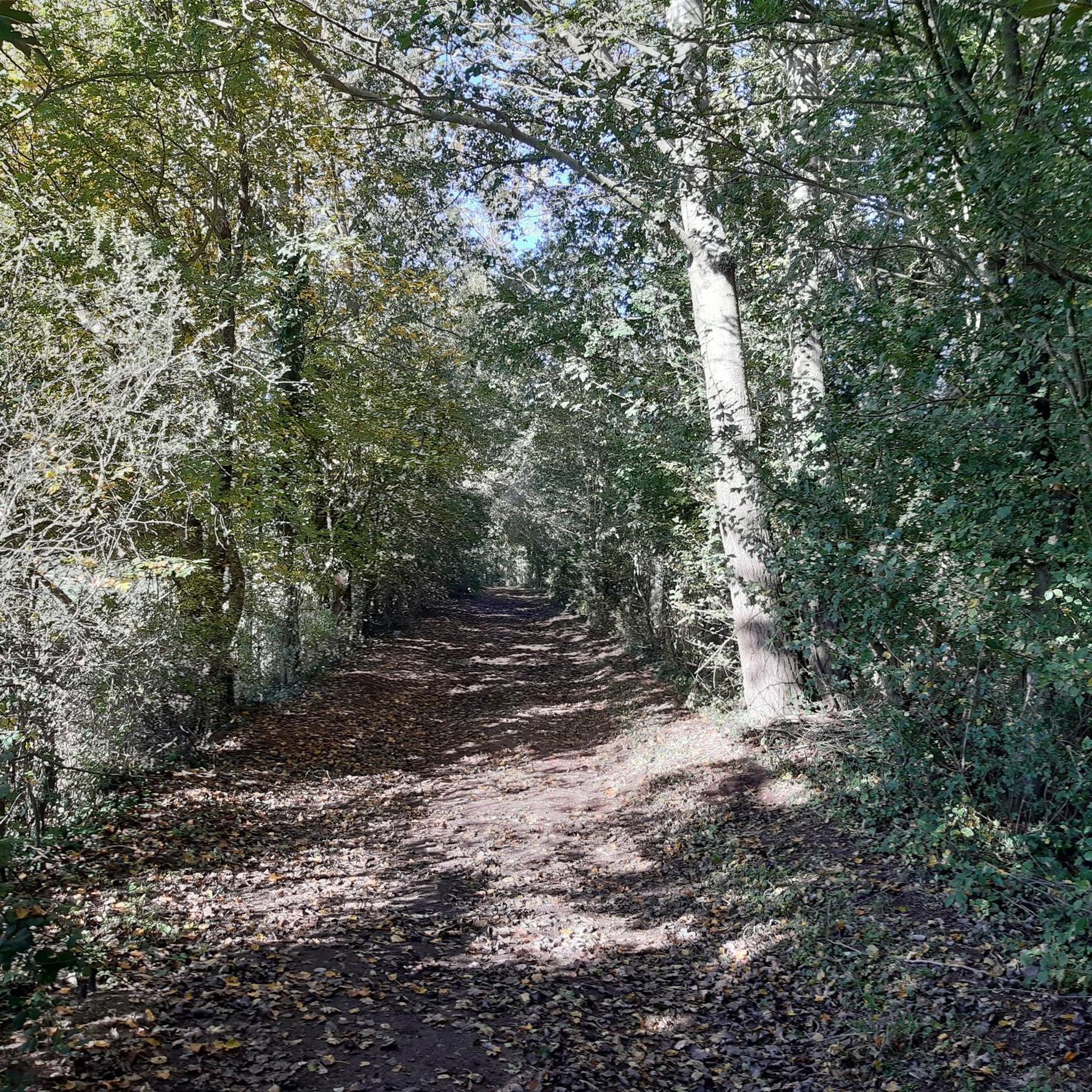
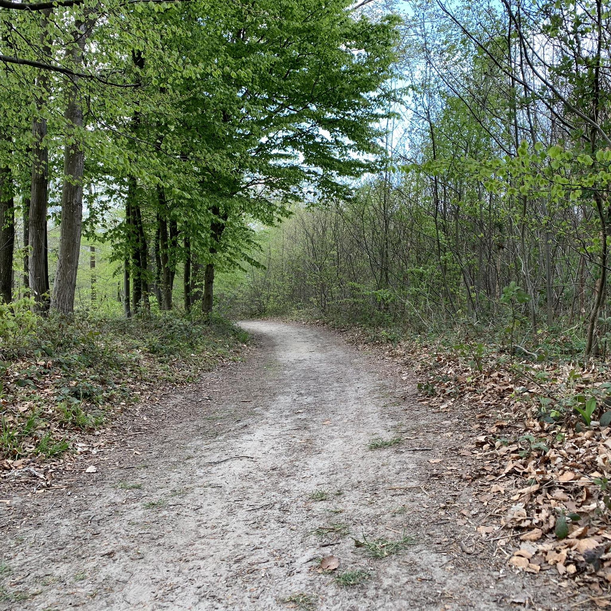
Hiking around Villequier-Aumont offers a network of trails primarily characterized by rural paths and the gentle, rolling countryside of the Aisne region. The landscape features open fields, small woodlands, and tranquil ponds, providing a generally flat to mildly undulating terrain. Elevation gains on most routes are modest, making the area accessible for various hiking abilities.
Best hiking trails around Villequier-Aumont
- The most popular hiking route is Étang Montplaisir – Étang Monplaisir loop from Viry-Noureuil, a 4.9 miles (7.9 km)…
Last updated: July 2, 2026
4.5
(4)
19
hikers
5.69km
01:26
10m
10m
Enjoy an easy 3.5-mile (5.7 km) hike around Étang Monplaisir from Viry-Noureuil, offering peaceful pond views and diverse wildlife.
5.0
(4)
21
hikers
7.88km
02:00
10m
10m
Easy hike. Great for any fitness level. Easily-accessible paths. Suitable for all skill levels.

Sign up for free
5.0
(1)
2
hikers
Moderate hike. Good fitness required. Easily-accessible paths. Suitable for all skill levels.
5.0
(1)
4
hikers
14.6km
03:55
170m
170m
Moderate hike. Good fitness required. Easily-accessible paths. Suitable for all skill levels.
4.0
(1)
7
hikers
6.65km
01:40
10m
10m
Easy hike. Great for any fitness level. Easily-accessible paths. Suitable for all skill levels.
Get access to more routes and recommendations from other explorers.
Sign up for free
Already have an account?
Our route recommendations are based on thousands of hikes, rides, and runs completed by other people on komoot.
Start today with a free account
Your next adventure awaits.
Login or Signup
Tips from the Community

Very nice varied circuit with elevation changes and beautiful clear views. I recommend it.
0
0

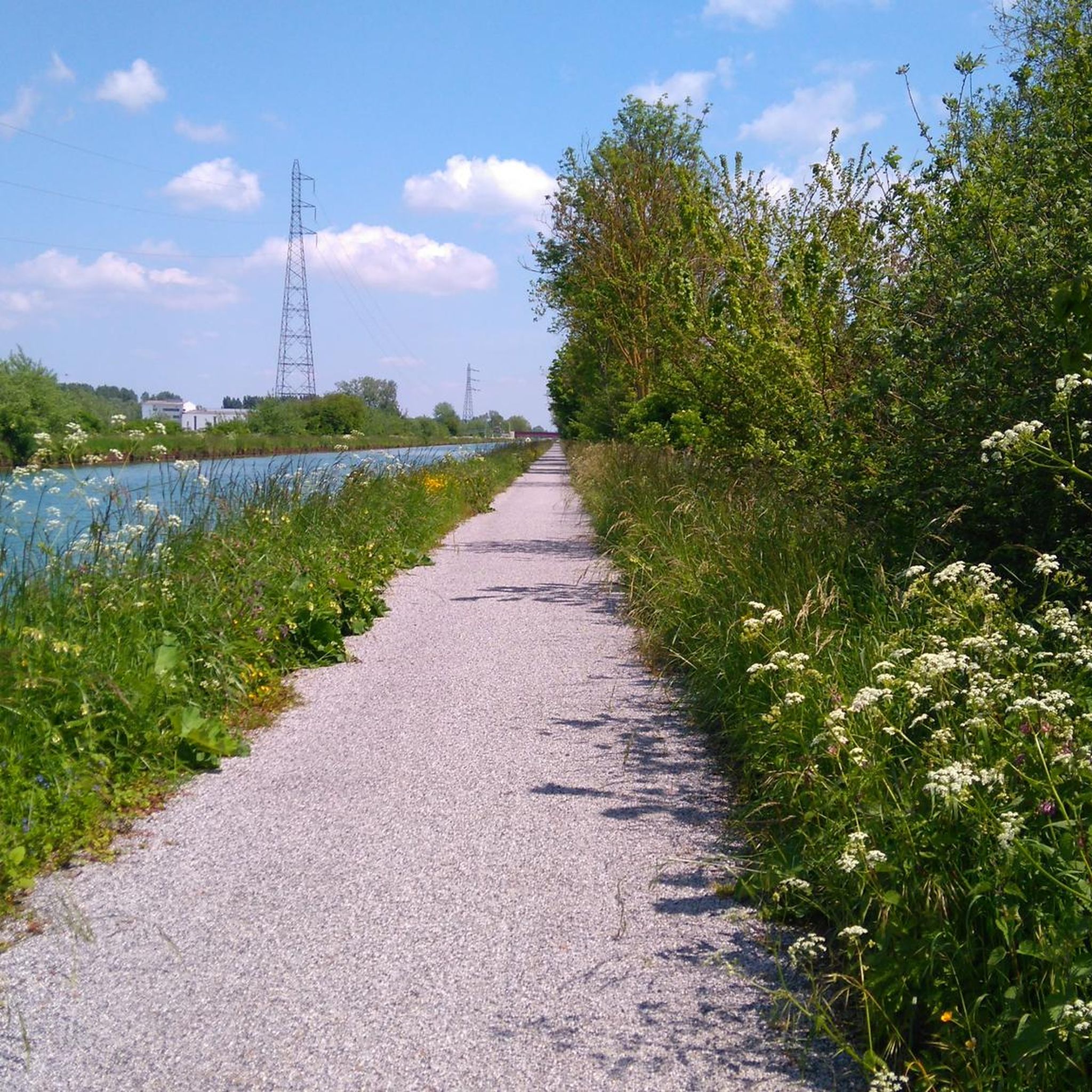
If you are looking for a peaceful and picturesque hike in Aisne, you can discover the Boucle de l'Etang Montplaisir. This loop trail takes you to the edge of two ponds, where you can enjoy views of the water and wildlife. The trail is largely flat and easy to follow. The hike is approximately 5 km and takes approximately an hour and a half. You can leave from the car park located near Chemin de la Pature. Happy hiking!
2
0
At the Montplaisir pond, you can enjoy the view of the water and the wildlife. You may be able to spot birds, such as herons, ducks and coots, or even fish, such as carp and trout.
2
0
Frequently Asked Questions
What kind of terrain can I expect on hikes around Villequier-Aumont?
The hiking trails around Villequier-Aumont are primarily characterized by rural paths and the gentle, rolling countryside of the Aisne region. You'll find open fields, small woodlands, and tranquil ponds. The terrain is generally flat to mildly undulating, with modest elevation gains, making it accessible for various hiking abilities.
How many hiking trails are available in the Villequier-Aumont area?
There are over 60 hiking routes available around Villequier-Aumont. This includes a good mix of easy and moderate trails, with 30 easy routes and 28 moderate routes, ensuring options for different fitness levels.
Are there any easy, family-friendly hikes suitable for beginners?
Yes, Villequier-Aumont offers numerous easy trails perfect for families and beginners. An excellent option is the Étang Montplaisir – Étang Monplaisir loop from Viry-Noureuil, which is 4.9 miles (7.9 km) long and takes about 2 hours to complete, circling a serene pond.
Are there any circular walks in Villequier-Aumont?
Many of the trails in Villequier-Aumont are circular, offering convenient starting and ending points. For example, the Chemin Rural de la Thiérache – Countryside Landscape of the Aisne loop from Villequier-Aumont is a moderate 9.6-mile (15.4 km) loop providing expansive views of the rural Aisne countryside.
What are some longer, more challenging hikes in the region?
While most trails are easy to moderate, some offer a longer excursion. The Chemin Rural de la Thiérache loop from Ugny-le-Gay is a moderate 9.1-mile (14.6 km) trail that takes nearly 4 hours to complete, leading through rural paths and gentle hills.
What do other hikers say about the trails in Villequier-Aumont?
The trails in Villequier-Aumont are highly rated by the komoot community, with an average score of 4.7 stars from over 30 reviews. Hikers often praise the tranquil ponds, open countryside, and the well-maintained rural paths that define the area's charm.
Are there any specific points of interest or attractions along the hiking routes?
While hiking, you can explore several interesting spots. The Étang Montplaisir is a beautiful lake that features on some routes. You might also encounter historical sites like Place Carnégie, art deco, or the Veltin School bell tower in nearby settlements.
Is there parking available near the trailheads in Villequier-Aumont?
Parking is generally available in or near the villages and towns that serve as starting points for many of the routes, such as Viry-Noureuil, Villequier-Aumont, Ugny-le-Gay, Ognes, and Caumont. Specific parking details can often be found on individual route pages on komoot.
What is the best time of year to go hiking in Villequier-Aumont?
The gentle terrain and open landscapes of Villequier-Aumont make it suitable for hiking throughout much of the year. Spring and autumn offer pleasant temperatures and beautiful scenery, while summer provides longer daylight hours. Even in winter, the modest elevation and rural paths can be enjoyable, though conditions may vary.
Are there any hikes that feature lakes or ponds?
Yes, the region is known for its tranquil ponds. The Étang de Villette loop from Ognes is a moderate 6.8-mile (11 km) trail that takes you around the Étang de Villette, offering scenic views of the water.
Can I find cafes or places to eat near the hiking trails?
While the immediate trailheads might be rural, the villages and towns in the vicinity, such as Tergnier, often have local cafes, bakeries, or small restaurants where you can refuel before or after your hike. It's advisable to check opening hours in advance.
Most popular attractions around Villequier-Aumont

Get inspired with the komoot mobile app


Explore more
Browse the best Hikes in other regions.
