The best walks and hikes around Noyers-Pont-Maugis
4.3
(355)
1,799
hikers
229
hikes
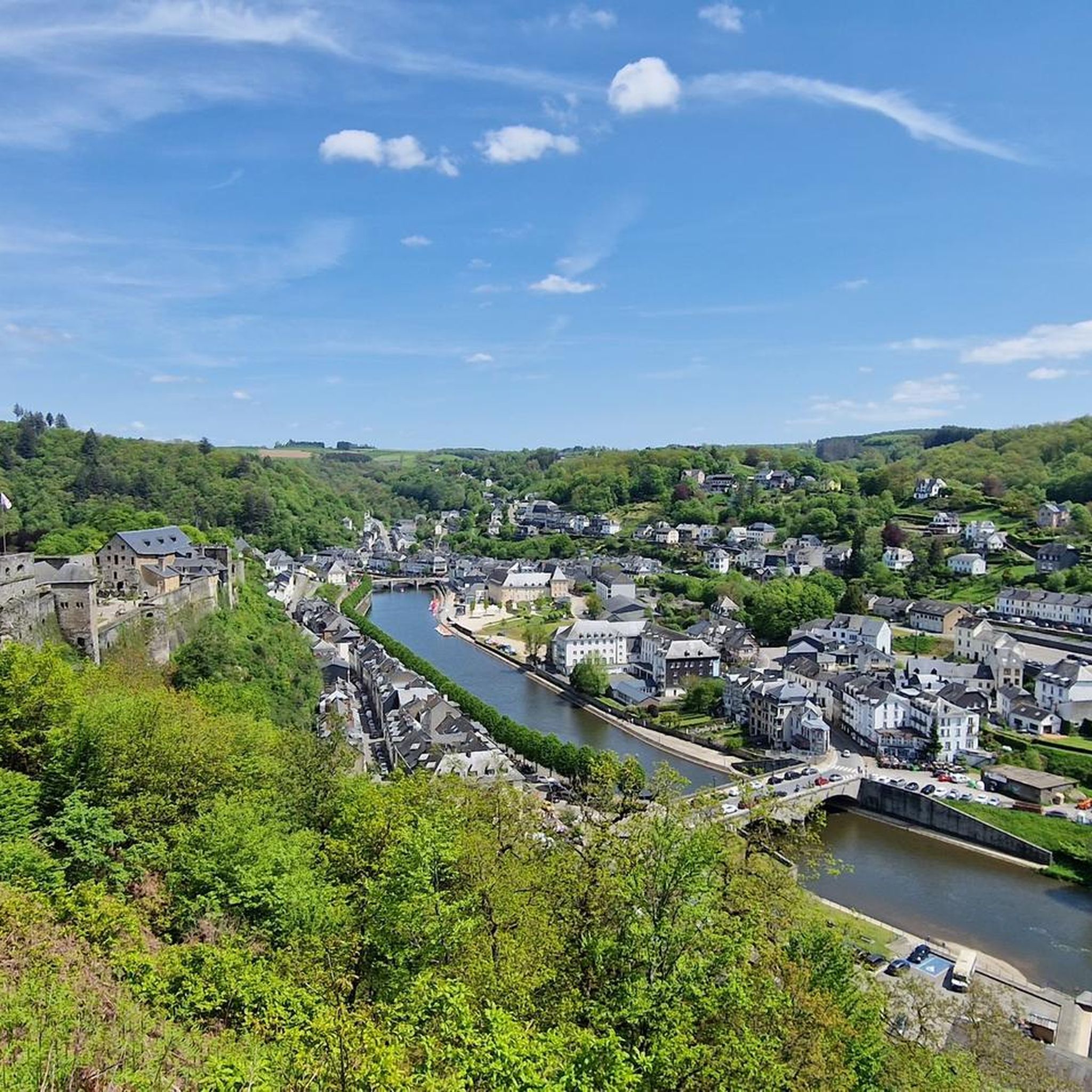
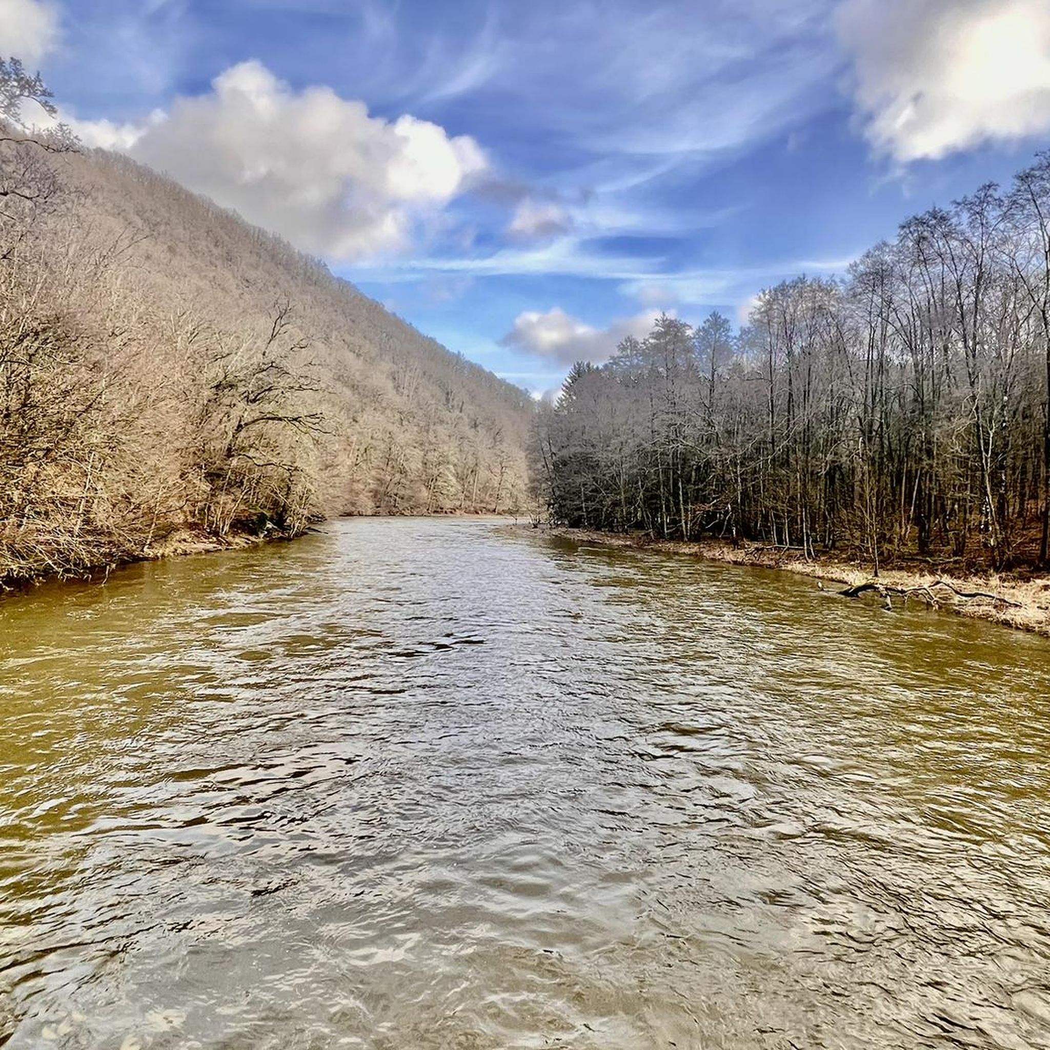
Hiking around Noyers-Pont-Maugis offers diverse landscapes and historical routes. The region is characterized by the wooded Massif de la Marfée, which strategically overlooks the Meuse and Bar Valleys, providing panoramic views. Altitudes range from 153 meters to 341 meters, contributing to varied hiking terrain. The presence of these river valleys further enhances the natural appeal for outdoor exploration.
Best hiking trails around Noyers-Pont-Maugis
- The most popular hiking route is Marfée Circuit Trail, a 4.4 miles (7.0 km) trail that…
Last updated: October 10, 2026
3.9
(7)
17
hikers
7.05km
01:55
100m
100m
Hike the easy 4.4-mile Marfée Circuit Trail through Marfée Wood and past historical landmarks in the Parc naturel régional des Ardennes.
4.8
(6)
17
hikers
10.1km
02:53
230m
230m
Moderate hike. Good fitness required. Easily-accessible paths. Suitable for all skill levels.

5.0
(3)
18
hikers
10.4km
02:53
180m
180m
Moderate hike. Good fitness required. Easily-accessible paths. Suitable for all skill levels.
5.0
(1)
10
hikers
9.07km
02:27
120m
120m
Moderate hike. Good fitness required. Easily-accessible paths. Suitable for all skill levels.
4.0
(2)
11
hikers
9.05km
02:19
40m
40m
Moderate hike. Good fitness required. Easily-accessible paths. Suitable for all skill levels.
Get access to more routes and recommendations from other explorers.
Already have an account?
Our route recommendations are based on thousands of hikes, rides, and runs completed by other people on komoot.
Start today with a free account
Your next adventure awaits.


Tips from the Community

German military cemetery, where the remains of almost 30,000 German soldiers from two world wars rest. Impressive how well the graves of the attacker are cared for in the land of the defender.
1
0
French military cemetery for the fallen of the Second World War. 'Mort pour la patrie'
0
0
Historical place, where many battles took place between German and French armies. The number of fallen is thought provoking...
0
0

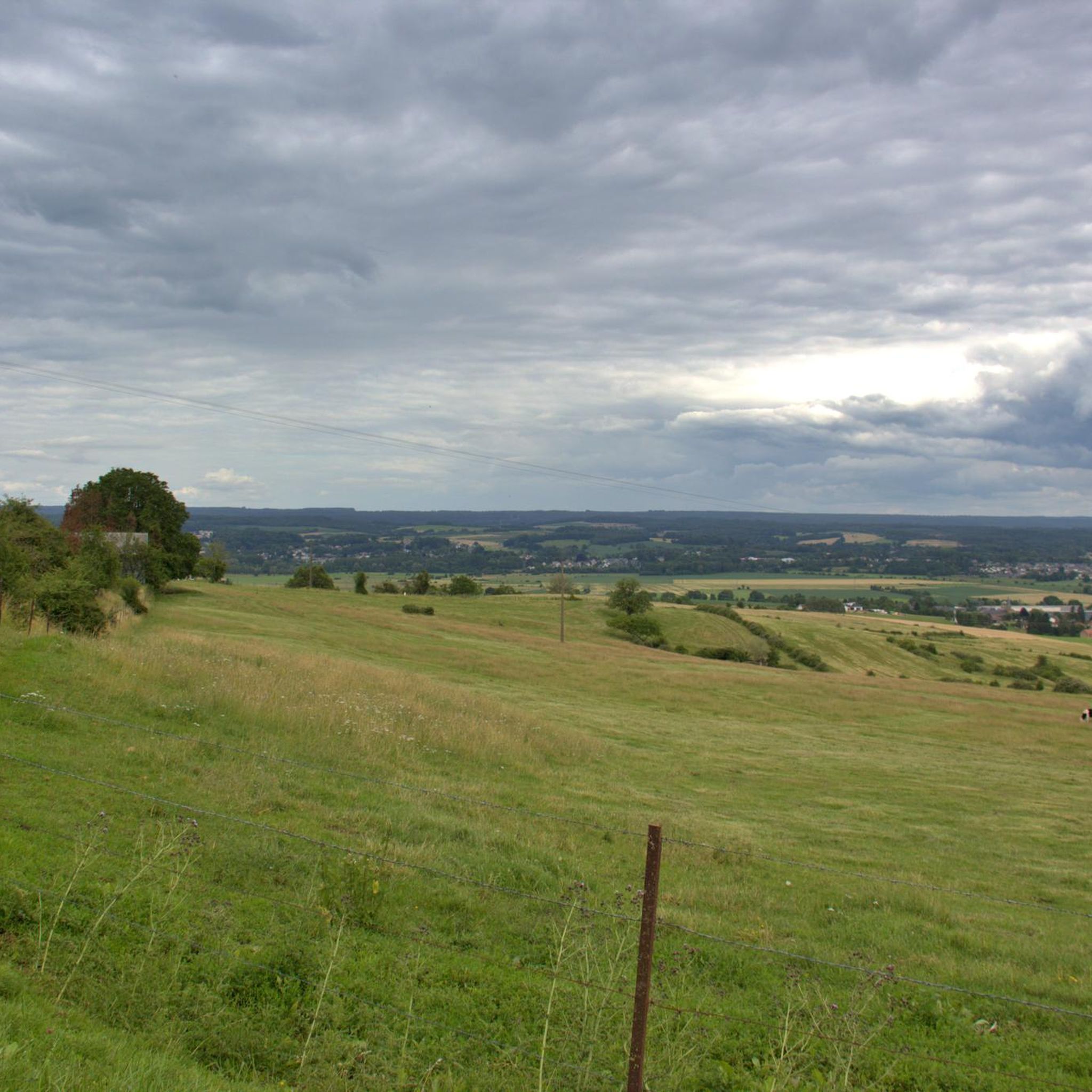
magnificent views of the Marfée countryside
3
0

The German military cemetery of Noyers-Pont-Maugis is the final resting place of 26,843 soldiers who died during the First and Second World Wars. You can stroll among the rows of crosses and pay your respects to fallen soldiers, while admiring views of the surrounding countryside. The cemetery has a chapel and a memorial hall, where you can learn about the history of the wars and the people buried here. This is a hiking tip that will not only allow you to exercise, but also to take a step back from the past.
4
0

From the old harbor with lots of industry only the former harbor wall is left. Sometimes you can still see a ship's name between the graffiti.
1
0

The German war cemetery (Kriegsgräberstätte) Noyers-Pont-Maugis contains the graves of 12,788 soldiers from the Second and 14,055 from the First World War. The cemetery was established in 1922. About 5,000 victims are unknown. The cemetery also contains a mass grave from the Second World War with 37 people, 30 of whom are unknown. Source: https://www.tracesofwar.nl/sights/4464/Duitse-Oorlogsbegraafplaats-Noyers-Pont-Maugis.htm
3
1
The Fourth French Army, under General de Langle de Cary, continued its strategic withdrawal. His 11th Corps reached Sedan on Monday 24 August 1914. Accompanied by the enemy the next morning, he resisted until the 26th and received orders to cross over to the left bank a little before noon, towards Wadelincourt and Noyers. On the night of the 26th to the 27th, the Germans besieged the Marfée plateau and took Chaumont - Saint Quentin around 6 am. On the morning of August 27, the men of the 137th Infantry counterattacked with their bayonets, reaching Noyers at 9:00 am and driving the invader back to the banks of the Meuse. "I die happy, my soldiers are brave," are the last words of their leader, Colonel de Marolles, mortally wounded. Source: https://www.charleville-sedan-tourisme.fr/fiches/listing-sites-de-memoire/stele-du-colonel-de-marolles/
3
1
Frequently Asked Questions
How many hiking trails are available in Noyers-Pont-Maugis?
There are over 230 hiking routes available around Noyers-Pont-Maugis, offering a wide range of options for different skill levels and preferences.
What is the typical terrain like for hiking in Noyers-Pont-Maugis?
The terrain in Noyers-Pont-Maugis is characterized by the wooded Massif de la Marfée, which provides varied landscapes and elevations ranging from 153 to 341 meters. You'll find a mix of forest paths, open sections, and routes that transition from higher elevations down to the Meuse and Bar river valleys.
What do other hikers say about the trails in Noyers-Pont-Maugis?
The hiking routes in Noyers-Pont-Maugis are highly rated by the komoot community, with an average score of 4.3 stars from over 300 reviews. More than 1500 hikers have used komoot to explore the area, often praising the diverse terrain and scenic viewpoints.
Are there easy hiking options in Noyers-Pont-Maugis?
Yes, Noyers-Pont-Maugis offers plenty of easy hiking options. There are over 70 routes classified as easy, such as the Marfée Circuit Trail, which is a 7 km path with moderate elevation changes, suitable for a relaxed outing.
Are there challenging hikes for experienced trekkers in Noyers-Pont-Maugis?
While the majority of trails are easy to moderate, there are a few more challenging options available. The region's varied elevation, particularly around the Massif de la Marfée, can provide more strenuous sections for those seeking a greater challenge.
Can I find hikes with panoramic views in the area?
Absolutely. The elevated position of the Massif de la Marfée offers spectacular panoramic views, especially from the Point de vue de la Marfée. Trails like German military cemetery – Marfée Wood loop from Wadelincourt provide extensive vistas over the Bar and Meuse valleys.
Are there historical sites or landmarks to see while hiking in Noyers-Pont-Maugis?
Yes, the area is rich in history. Many trails incorporate historical sites, including the German military cemetery and strategic points from various conflicts. The "Circuits de mémoire" (Remembrance Tours) offer five distinct routes that blend hiking with historical exploration. You can also explore nearby attractions like the Upper Castle of Sedan or the Abbatiale Notre-Dame de Mouzon.
Are the trails in Noyers-Pont-Maugis suitable for families?
Many trails in Noyers-Pont-Maugis are suitable for families, especially the easier, shorter routes. The varied landscapes and historical points of interest can make for an engaging experience for all ages. Look for routes with lower elevation gain and shorter distances for younger hikers.
What is the best time of year to go hiking in Noyers-Pont-Maugis?
The region is enjoyable for hiking throughout much of the year. Spring and autumn offer pleasant temperatures and beautiful foliage, while summer provides longer daylight hours. Even in winter, the wooded areas can be picturesque, though some paths might be muddy or require appropriate gear.
Is it possible to hike with dogs in Noyers-Pont-Maugis?
Generally, dogs are welcome on trails in Noyers-Pont-Maugis. It's always recommended to keep your dog on a leash, especially in wooded areas or near wildlife, and to clean up after them to ensure a pleasant experience for all hikers.
Are there any circular hiking routes in Noyers-Pont-Maugis?
Yes, many of the trails in Noyers-Pont-Maugis are designed as circular routes, allowing you to start and end at the same point. Examples include the Marfée Circuit Trail and the Marfée Wood – German military cemetery loop from Noyers-Pont-Maugis.
Where can I find parking for hiking trails in Noyers-Pont-Maugis?
Parking is generally available at the start points of many popular trails and in the villages surrounding Noyers-Pont-Maugis, such as Wadelincourt or Thelonne. Specific parking information is often detailed on individual komoot Tour pages.
Most popular routes around Noyers-Pont-Maugis
Most popular attractions around Noyers-Pont-Maugis

Get inspired with the komoot mobile app


Explore more
Browse the best Hikes in other regions.
