The best running trails around Saint-Ciers-Champagne
4.5
(2)
293
runners
77
runs
Jogging routes around Saint-Ciers-Champagne are situated in the Charente-Maritime department of France, offering a blend of natural and semi-natural environments. The region features diverse landscapes, including vineyards, woodlands, and areas with drainage canals, providing varied terrain for runners. While paths near waterways tend to be relatively flat, inland areas present gentle hills, creating a mix of easy and moderately challenging running experiences. This setting provides a scenic backdrop for outdoor activities, with many trails suitable for jogging.
Best jogging routes…
Last updated: June 30, 2026
6
runners
5.93km
00:38
30m
30m
Moderate run. Good fitness required. Mostly paved surfaces. Suitable for all skill levels.
6
runners
7.06km
00:46
50m
50m
Moderate run. Good fitness required. Mostly paved surfaces. Suitable for all skill levels.

Sign up for free
8
runners
7.98km
00:50
50m
50m
Moderate run. Good fitness required. Mostly paved surfaces. Suitable for all skill levels.
7
runners
6.62km
00:42
50m
50m
Moderate run. Good fitness required. Mostly paved surfaces. Suitable for all skill levels.
3
runners
6.82km
00:42
40m
40m
Moderate run. Good fitness required. Mostly paved surfaces. Suitable for all skill levels.
Get access to more routes and recommendations from other explorers.
Sign up for free
Already have an account?
Our route recommendations are based on thousands of hikes, rides, and runs completed by other people on komoot.
Start today with a free account
Your next adventure awaits.
Login or Signup
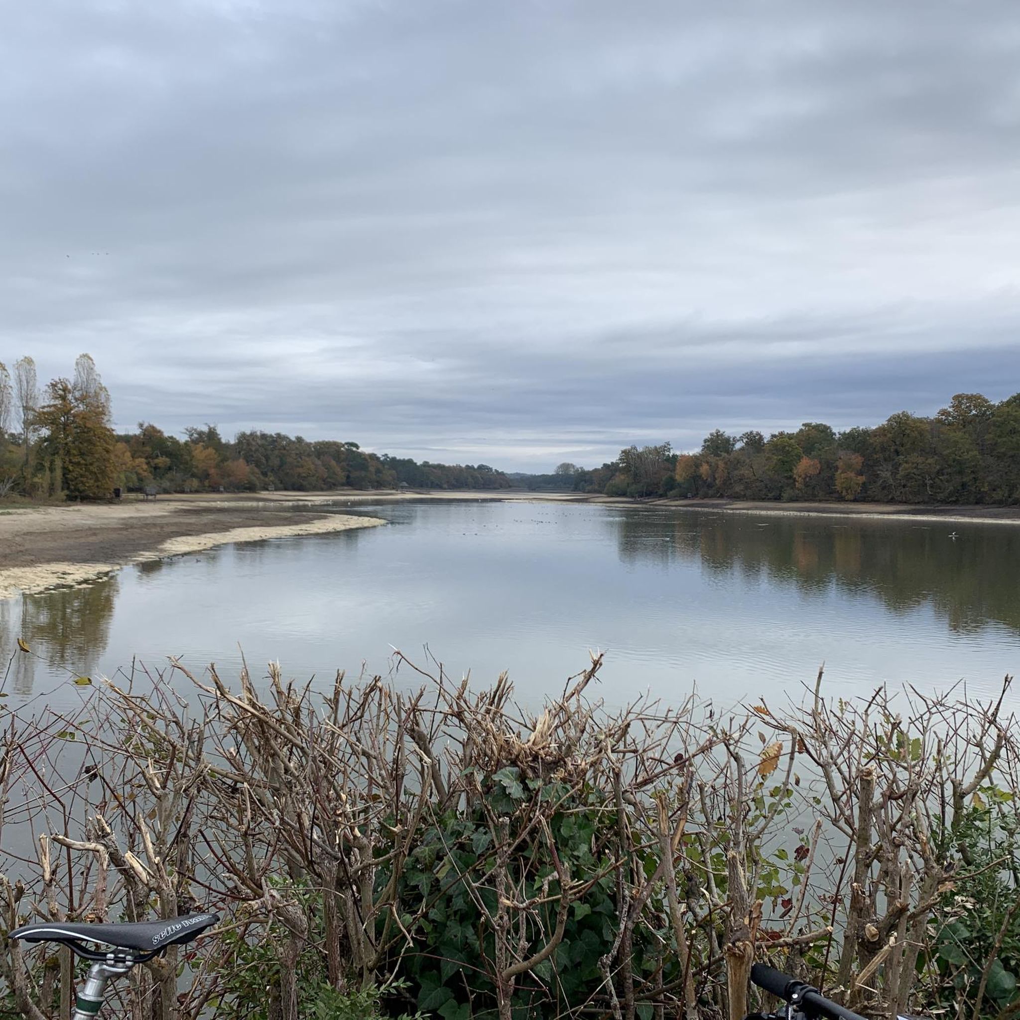
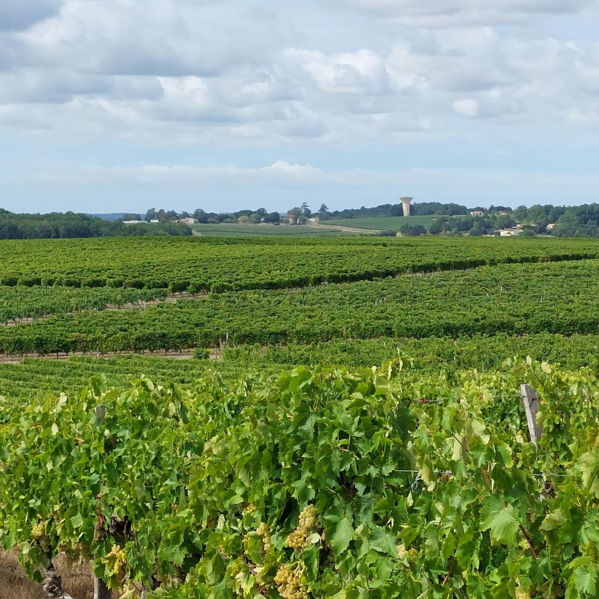
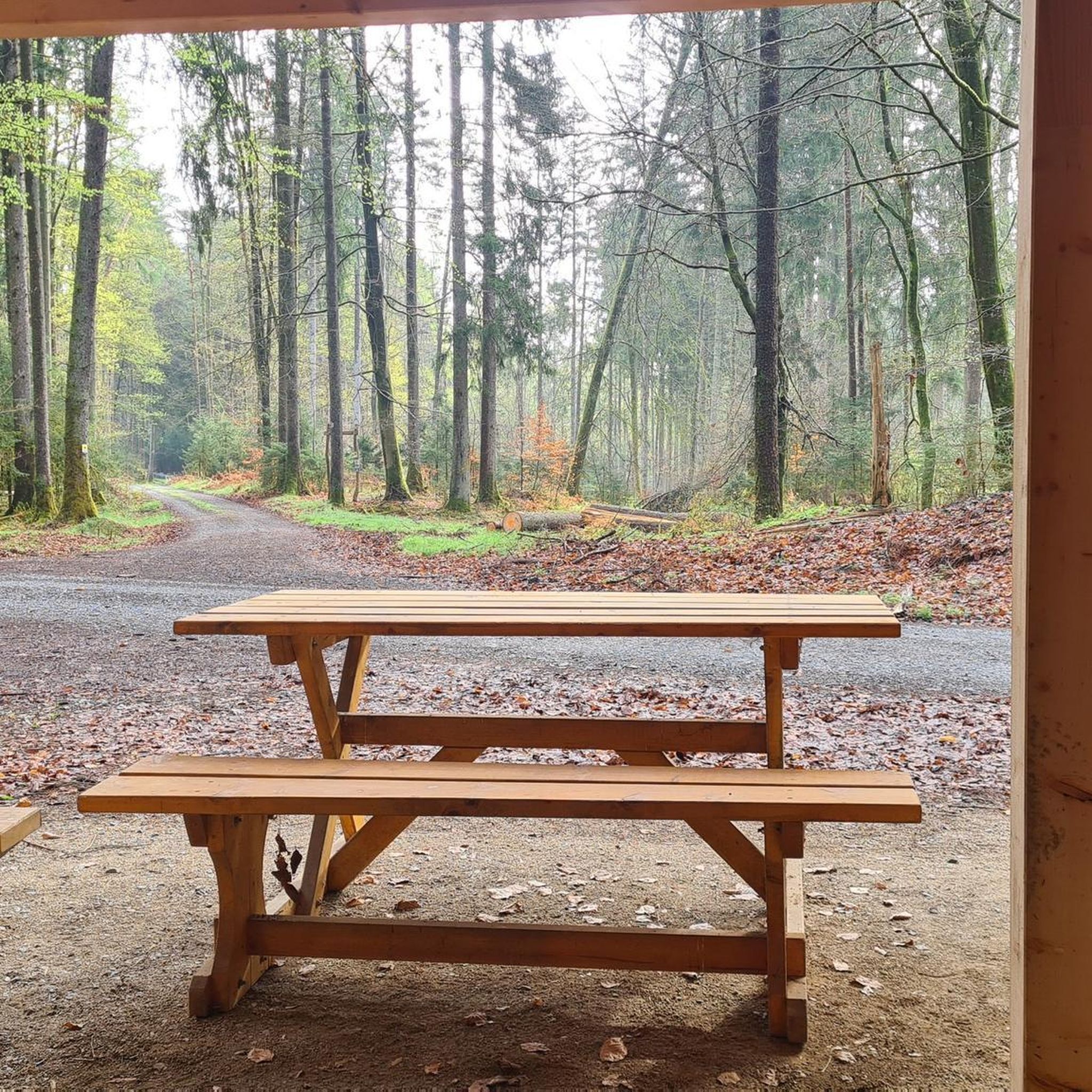
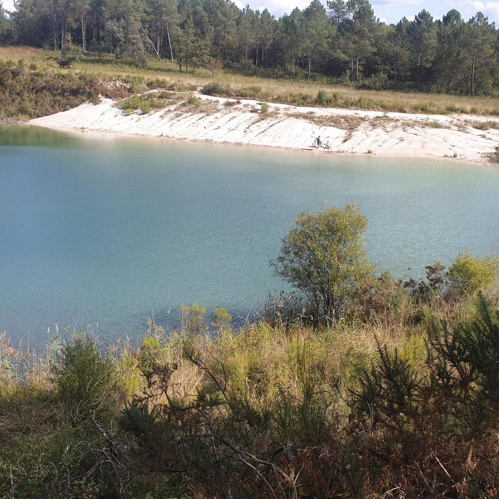
Tips from the Community

You have to be very careful with the roots of the acacias which lift the bitumen in places as well as the thorns of these trees. Otherwise very pleasant.
0
0

Consider deviating from the cycle path for a few minutes. Church your real the detour
1
0

Some sections of the track are damaged by tree roots and dangerous on a road bike. I often prefer to go by road.
1
0

The church is in the form of a rectangle thirty meters long and ten meters wide, flanked by 4 buttresses, one of which is located on the north wing and the 3 others on the south wing, a bell tower and a small extension on the south west part housing a chapel dedicated to the Virgin Massive building, reinforced by buttresses, low and poorly lit, it has a facade with a Romanesque portal surmounted by a large rose window. This gate is made up of 2 straight legs, and a projecting coving made up of 3 semicircular rollers with a keystone. The oculus rose is surrounded by a frieze with a sawtooth motif. The porch opens onto a single nave 22 m long by 9 wide without side aisles. It is made up of 4 bays with semi-circular vaults. The south wall is pierced under the 1st bay with a large semi-circular arch giving access to the chapel. The north wall has a pulpit which bears a monogram which would be that of Louis XIV. The choir of the church, raised from the nave by 3 steps, consists of a flat chevet and a span of semi-circular vaults. The bedside wall is pierced at each end with a rectangular door allowing access to the sacristy. The old sacristy has just been refurbished and has a very modern look with paneling on the floor and ceiling. The chapel of the Virgin is located on the southern extension of the church. It measures 13.50 m long by 7 wide, and consists of a small single nave 10 m long by 7 wide and a choir with a flat apse. The floor of this chapel is 1.25 m lower than the floor of the church corresponding to the initial floor of the old abbey. Access to the bell tower is through a door located on the east wall of the nave of the chapel. It consists of 4 floors and a vaulted ground floor. The facing is made up of medium-sized cut stone for the ground floor and the 1st floor and rubble stone coated with brown lime for the 2nd and 3rd floors.
0
0
A bike path, only for bikes and in the countryside! 35 kms from Barbezieux to Clérac in complete peace of mind on a paved road, a real pleasure! Surprising but very pleasant especially for families with children who can walk there in peace.
1
0
Baignes Abbey became a parish church after the revolution. It was part of the diocese of Saintes until the middle of the 19th century. The foundation of the Abbey would seem to date back to the 11th century. It was ransacked during the 100 Years War and then destroyed by the Protestants. The current building is totally different from the Old Abbey due to the destruction/modifications that have taken place.
2
0
Frequently Asked Questions
How many running routes are available in Saint-Ciers-Champagne?
There are over 60 dedicated running routes around Saint-Ciers-Champagne, offering a wide variety of experiences for all fitness levels. These trails are set within the natural and semi-natural environments of the Charente-Maritime department.
Are there any easy jogging routes for beginners in the area?
Yes, Saint-Ciers-Champagne offers a few easy jogging routes perfect for beginners or those looking for a relaxed run. The terrain near waterways tends to be relatively flat, providing a gentle introduction to running in the region.
What kind of terrain can I expect on the jogging trails around Saint-Ciers-Champagne?
The region features diverse landscapes, including vineyards, forests, and areas with drainage canals. While paths near waterways are often flat, inland areas offer gentle hills, creating a mix of easy and moderately challenging running experiences. You'll find both natural paths and dedicated greenways.
What do other runners say about the trails in Saint-Ciers-Champagne?
The running routes in Saint-Ciers-Champagne are highly rated by the komoot community, with an average score of 4.5 stars from 4 reviews. Over 350 runners have used komoot to explore the varied terrain, often praising the scenic backdrop and natural environments.
Are there any circular running routes in Saint-Ciers-Champagne?
Yes, many of the running paths in the area are designed as loops, allowing you to start and finish at the same point. For example, the La voie verte loop from Baignes-Sainte-Radegonde is a popular 5.1-mile (8.3 km) option that follows dedicated greenway paths.
Can I bring my dog on the running trails?
While specific regulations can vary, many natural trails in the Charente-Maritime region are generally dog-friendly, especially if your dog is kept on a leash. It's always a good idea to check local signage or specific route details for any restrictions before heading out with your canine companion.
Are there any family-friendly running options?
For families, routes with gentler terrain and shorter distances are ideal. The region's greenways and flatter paths near waterways can be suitable for a family run or walk. Consider routes that avoid significant elevation changes for a more enjoyable experience with children.
What are some interesting sights or landmarks I might see while running?
While jogging, you might encounter various points of interest. The broader Charente-Maritime region is known for its diverse landscapes, including vineyards and historical sites. Nearby attractions include the historic Jonzac Castle, the scenic Blue Lake of Touvérac, and the La voie verte itself, which offers pleasant views.
Is there a popular running route that offers rural scenery?
Absolutely. The Running loop from Réaux-sur-Trèfle is a popular 4.8-mile (7.7 km) trail that takes you through beautiful rural scenery, offering a peaceful and picturesque running experience.
Are there any running routes with gentle elevation changes?
Yes, many routes in the area feature gentle elevation changes, providing a good workout without being overly strenuous. The Running loop from Le Tâtre, for instance, is a moderate 6.6 km route with rolling terrain through the countryside.
What is the best time of year for jogging in Saint-Ciers-Champagne?
The Charente-Maritime region generally offers pleasant conditions for outdoor activities for much of the year. Spring and autumn provide mild temperatures and beautiful scenery, making them ideal. Summer can be warm, so early morning or late evening runs are often preferred, while winter offers cooler, crisp air, though some paths might be muddier after rain.
Are there any running trails that pass by historical sites?
While specific routes directly through historical sites are less common for dedicated running, the region's trails often pass near areas of historical interest. For example, the nearby town of Jonzac features landmarks like the Old Town Gate of Jonzac, which can be explored in conjunction with a run.
Most popular routes around Saint-Ciers-Champagne
Most popular attractions around Saint-Ciers-Champagne

Get inspired with the komoot mobile app


Explore more
Browse the best Running Trails & Routes in other regions.
