The best running trails around Verruyes
4.3
(59)
2,116
runners
80
runs
Jogging around Verruyes offers diverse running routes through the picturesque Deux-Sèvres department of France. The region is characterized by bocage farmland, shaded paths, and a network of waterways including the Ruisseau du Massicart and the Chambon River. Runners can explore the Gâtine countryside, which features a mix of gentle stretches and slight inclines, alongside scenic lakes such as the Étang du Prieuré Saint-Martin. This varied terrain provides engaging running experiences for different fitness levels.
Best jogging routes around Verruyes
- The…
Last updated: October 14, 2026
54
runners
Hard run. Very good fitness required. Mostly paved surfaces. Suitable for all skill levels.
23
runners
8.97km
00:59
90m
90m
Moderate run. Good fitness required. Mostly paved surfaces. Suitable for all skill levels.

4
runners
Hard run. Very good fitness required. Mostly paved surfaces. Suitable for all skill levels.
4.5
(2)
5
runners
8.98km
00:59
130m
130m
Moderate run. Good fitness required. Mostly paved surfaces. Suitable for all skill levels.
5
runners
4.60km
00:32
40m
30m
Easy run. Great for any fitness level. Mostly paved surfaces. Suitable for all skill levels.
Get access to more routes and recommendations from other explorers.
Already have an account?
Our route recommendations are based on thousands of hikes, rides, and runs completed by other people on komoot.
Start today with a free account
Your next adventure awaits.


Tips from the Community

The Saint-Pardoux Church is an emblematic Romanesque building in the Dordogne region, particularly in Saint-Pardoux-et-Vielvic, and has been listed as a Historic Monument since 1925. Built in the 12th century, it retains its single barrel-vaulted nave and a choir with a semicircular apse. A major renovation carried out in the 17th-18th centuries redefined its western façade and added a bell tower arcade. 🏛️ Architecture and Heritage Plan and structure: a single nave preceded by a Romanesque choir, with a pointed barrel vault and triumphal arch resting on 13th-century engaged columns. Decoration: vegetal capitals and archivolts adorned with geometric motifs (chevrons, triangles, rays), typical of Auvergne Romanesque art. Bell tower: bell tower arcade or pediment, rebuilt in the 17th-18th centuries, typical of the Périgord region. ⛪ History Founded in the 12th century, the church was remodeled in the 13th century with the addition of side chapels and ribbed vaults. Its atypical structure—not oriented toward the east—reflects of a plan adapted to the terrain and the needs of the community
1
0

Better equipped than many campsites! The restrooms are super clean, and they even provide toilet paper and soap. The shower costs €1 (coin-operated) and runs for 8 minutes. Bike washing (including cleaner) is free. There's also a garage for bike parking, which you can lock if you have a lock with you. We loved it!
0
1

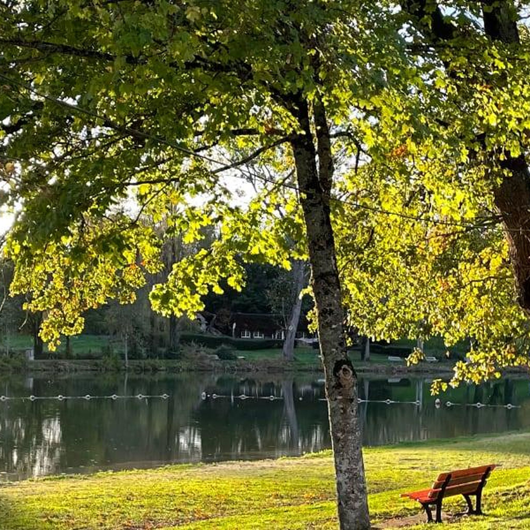
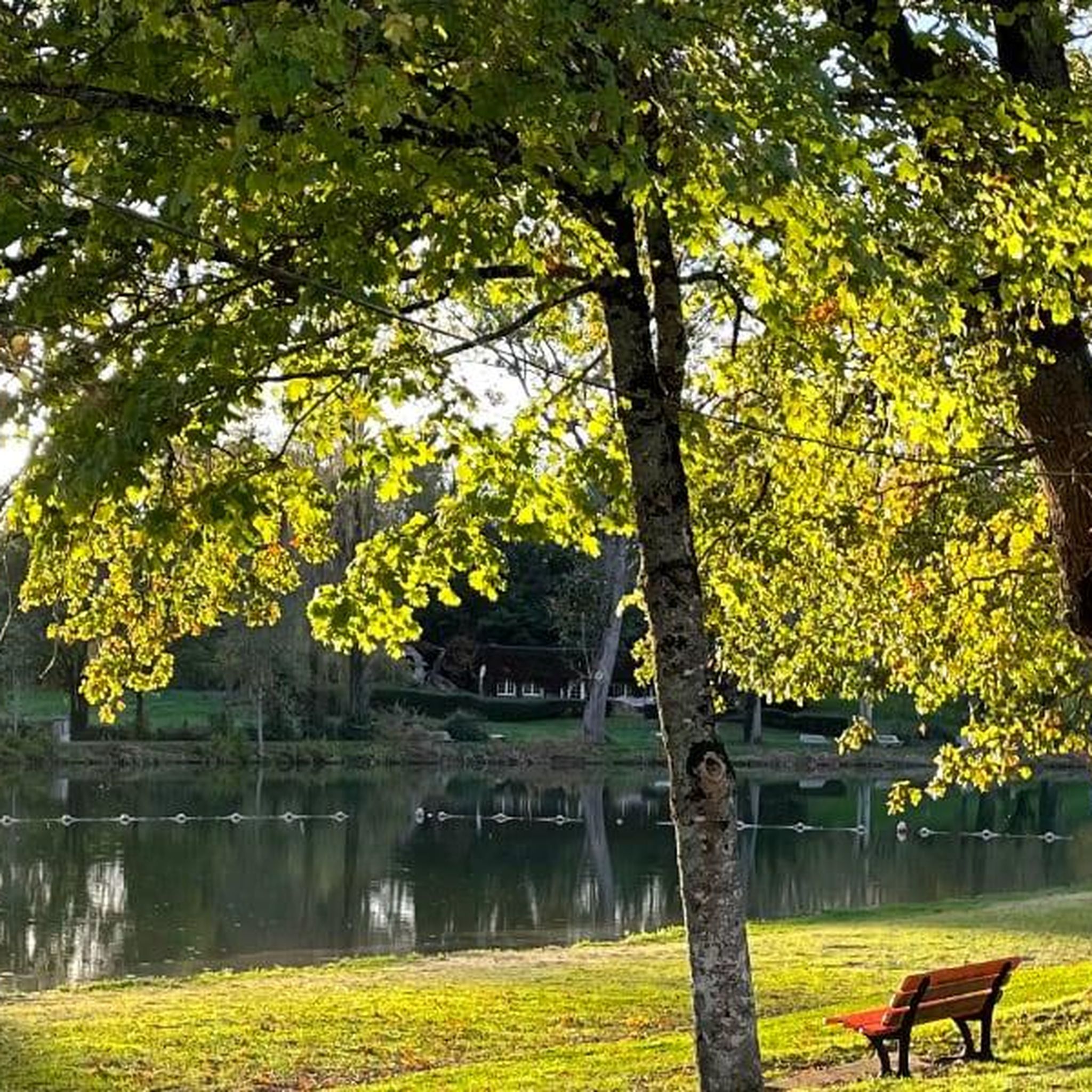
Here you will walk along a small dirt path, then go up and over a small pedestrian bridge. Facing the immensity of the lake, this path and this bridge will seem intimate to you.
3
0

Includes bike wash, air, tools and stand, charging stations, plus some kind of app-operated bbq.
1
0

A friendly place organized by the community with toilets, electric recharges, bike shelters, tools and pump. You will find external electrical outlets and a plancha.
1
0
This 15th century castle, with its almost entirely intact moat, gives a real idea of its function as a fortress. Be sure to take a look as you pass by!
2
0
For a small village, this is a large and impressive church. It is worth stopping to take a look.
3
0
This 15th century castle, with its almost entirely intact moat, gives a real idea of its function as a fortress. The castle is open to the public for visits.
2
0
Frequently Asked Questions
How many running routes are available in Verruyes?
There are over 75 jogging routes around Verruyes, offering a wide variety of options for runners of all levels. These routes traverse the picturesque Deux-Sèvres department, characterized by bocage farmland, shaded paths, and a network of waterways.
What kind of terrain can I expect on jogging trails around Verruyes?
The jogging trails in Verruyes offer diverse terrain. You can expect to run through the Gâtine countryside with its hedged farmland, along shaded paths, and beside various waterways like the Ruisseau du Massicart and the Chambon River. The routes feature a mix of gentle stretches and slight inclines, providing an engaging experience.
Are there easy running routes suitable for beginners in Verruyes?
Yes, Verruyes offers several easy running routes perfect for beginners. There are 6 routes classified as easy, allowing you to enjoy the scenic landscape without significant challenge. These paths are generally well-maintained and accessible.
What do other runners enjoy most about jogging in Verruyes?
The running routes in Verruyes are highly rated by the komoot community, with an average score of 4.2 stars from over 50 reviews. More than 1900 runners have explored the varied terrain, often praising the quiet woodlands, scenic waterways, and the mix of gentle and slightly inclined paths that make for an engaging run.
Are there any running routes that feature waterfalls or scenic water bodies?
Yes, the region around Verruyes is rich in waterways and lakes. You can find trails that follow the Massicart stream, which flows into the Chambon river. The La Touche Poupard Dam on the Chambon river offers scenic views of the lake. Additionally, the unique wooded area known as Le Puits d'Enfer features a stream and multiple waterfalls, providing a distinctive natural attraction for those exploring nearby trails.
Can I find challenging running trails for experienced runners in the Verruyes area?
Absolutely. For experienced runners seeking a challenge, there are 18 difficult routes available. One such route is the Narrow path beside stream – Mousson Trail loop from Saint-Christophe-sur-Roc, a 26 km trail that follows a narrow path beside a stream through the countryside. Another demanding option is the Rest area for cyclists – Saint-Pardoux Church loop from Saint-Pardoux-Soutiers, a 49 km trail leading through the wider region.
Are there any circular running routes around Verruyes?
Many of the running routes in Verruyes are circular, allowing you to start and end at the same point. For example, the Footbridge loop from Saint-Georges-de-Noisné is a moderate 9 km path offering varied terrain. Another option is the La Ligueure loop from Augé, also a moderate 9 km route.
What are some scenic points of interest I might encounter on a run?
Beyond the natural beauty of the Gâtine countryside and its waterways, you might encounter several interesting points. The La Touche Poupard Dam offers great views, and you could cross the historic Roman Bridge Over the Chambon. Some routes also feature modern structures like a Footbridge, adding to the varied scenery.
Are there any running routes near the Étang du Prieuré Saint-Martin?
Yes, the Étang du Prieuré Saint-Martin is a popular starting point for several trails. The 'Autour de Verruyes' trail explores hamlets to the west of the commune via shaded paths and minor roads from this lake. Additionally, 'L'Allée aux Moines' is a specific route that circles the Étang du Prieuré Saint-Martin, intertwining with local history and legends.
Are there any moderate-difficulty running options in the area?
Yes, the majority of running routes in Verruyes are of moderate difficulty, with 55 such options available. These routes provide a good balance of challenge and accessibility. An example is the Footbridge loop from Saint-Georges-de-Noisné, a 9 km path with varied terrain.
What is the best time of year for jogging in Verruyes?
Verruyes offers pleasant jogging conditions for much of the year. The region's shaded paths and bocage landscape provide relief during warmer months, while the varied terrain is enjoyable in spring and autumn. Winter running is also possible, though conditions may vary. It's always a good idea to check local weather forecasts before heading out.
Are there any long-distance running routes for endurance training?
For those looking for longer runs, Verruyes has several options. The Rest area for cyclists – Saint-Pardoux Church loop from Saint-Pardoux-Soutiers is a substantial 49 km trail. Another challenging long-distance route is the Lac de la Touche Poupard loop from Clavé, which covers approximately 17 km with significant elevation changes.
Most popular attractions around Verruyes

Get inspired with the komoot mobile app


Explore more
Browse the best Running Trails & Routes in other regions.
