The best road cycling routes around La Caillère-Saint-Hilaire
4.5
(34)
1,329
riders
164
rides
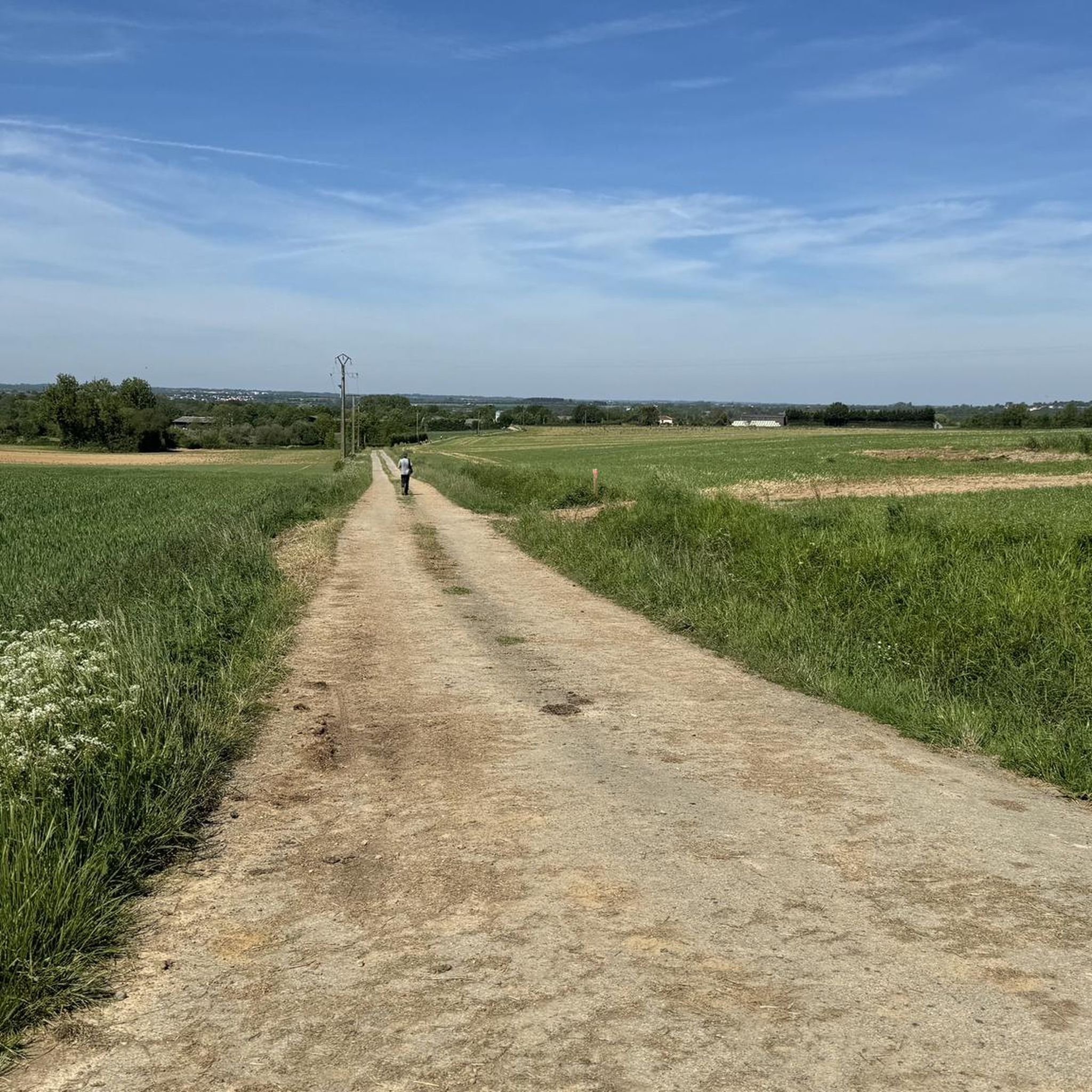
Road cycling around La Caillère-Saint-Hilaire features a landscape characterized by rolling countryside and varied terrain, suitable for road cyclists seeking routes with moderate elevation changes. The region offers a network of roads that traverse rural areas, providing opportunities for longer rides. The routes often include gentle ascents and descents, making for engaging cycling experiences.
Best road cycling routes around La Caillère-Saint-Hilaire
- The most popular road cycling route is Sentier St Michel le Cloucq – Vouvant loop from La Caillère-Saint-Hilaire,…
Last updated: July 6, 2026
13
riders
55.1km
02:29
540m
540m
Moderate road ride. Good fitness required. Mostly well-paved surfaces and easy to ride.
14
riders
48.5km
02:14
550m
550m
Moderate road ride. Good fitness required. Mostly well-paved surfaces and easy to ride.

Sign up for free
7
riders
Moderate road ride. Good fitness required. Mostly well-paved surfaces and easy to ride.
7
riders
45.3km
01:56
380m
380m
Moderate road ride. Good fitness required. Mostly well-paved surfaces and easy to ride.
5
riders
32.2km
01:40
330m
330m
Moderate road ride. Good fitness required. Mostly well-paved surfaces and easy to ride.
Get access to more routes and recommendations from other explorers.
Sign up for free
Already have an account?
Our route recommendations are based on thousands of hikes, rides, and runs completed by other people on komoot.
Start today with a free account
Your next adventure awaits.
Login or Signup




Tips from the Community


pretty dungeon and remarkable garden.
0
0
magnificent landscape of the Vendée bocage.
0
0

Historical monument from the 14th century. It has a museum and large gardens. The museum of popular art and traditions has a collection of more than a thousand objects and furniture dating from 1850 to 1950. There is parking and toilets. To organize the visit: +33251512310
1
0
Rochereau Lake, with an area of 125 hectares, is the largest drinking water reserve in the Grand Lay Valley, fed by the Le Maine River. It has good fishing conditions and is home to a rich fish diversity in white fish, predatory fish and common and mirror carp of intermediate size.
1
0

A slightly out of the way corner which gives another perspective of the ramparts and the Mélusine Tower.
0
0
When the 1st Cavalry Dragon arrived in the town of Luçon ordered by Georges Clemenceau in 1910, the army required a supply of 70 liters of water per day, per man, and per horse, i.e. for 630 men and 750 horses a daily need of nearly 100 m3 of water. Thus, in 1912, at the height of the boom in reinforced concrete construction, a water tower was erected near the barracks. Originally composed of a parallelepiped tank of 110 m3, the work took on a monumental form when an agreement was made between the city and the war administration in order to allow the people of Luçon to also benefit from a distribution of potable water. The capacity of the tank then increases to 500 m3. The water tower measures 25 meters high on a base of 220 m² and even had official accommodation. The water tower with the adjoining electrical factory which made it possible to operate it (factory powered by coal from Faymoreau) made Luçon a city at the cutting edge of modernity with running water and electricity. . However, in 1961 the water tower was decommissioned, and it gradually deteriorated due to lack of maintenance. In 1991, the reinforced concrete monument was threatened with demolition, but by a decree of February 10, 1992 it was automatically classified as a historic monument, in order to allow its preservation. It now stands as a witness to early 20th century architecture consecrated by the appearance of reinforced concrete, and offers a light and astonishing silhouette for a water tower with its late art deco style and ceramic flourishes. . On the main facade, two cast iron lion faces had an orange lamp. This monument was to be supplemented by a lighthouse which was never completed.
0
0
Frequently Asked Questions
What is the general terrain like for road cycling around La Caillère-Saint-Hilaire?
Road cycling around La Caillère-Saint-Hilaire is characterized by rolling countryside and varied terrain. You'll find a network of rural roads with moderate elevation changes, offering engaging cycling experiences with gentle ascents and descents.
Are there road cycling routes suitable for beginners in La Caillère-Saint-Hilaire?
Yes, La Caillère-Saint-Hilaire offers routes suitable for various ability levels. While many routes are moderate, there are approximately 20 easier road cycling tours available, perfect for those new to the sport or looking for a more relaxed ride.
What kind of distances can I expect from road cycling routes in this region?
The road cycling routes around La Caillère-Saint-Hilaire vary in length. For example, the Sentier St Michel le Cloucq – Vouvant loop from La Caillère-Saint-Hilaire is about 55 km, while the The Lay at Moutiers-sur-Lay – Étang du Lay loop from Bazoges-en-Pareds extends to over 76 km, offering options for longer rides.
Are there any circular road cycling routes available?
Yes, many of the road cycling routes in the region are designed as loops. For instance, the Pouzauges Castle loop from Les Cinq Chemins is a popular circular route, as is the Château de l'Évaudière loop from Les Cinq Chemins.
What do other road cyclists enjoy most about cycling in La Caillère-Saint-Hilaire?
The area is highly rated by the komoot community, with an average score of 4.4 stars from over 30 reviews. Cyclists often praise the varied terrain, rolling countryside, and the mix of open roads and scenic views that the routes provide.
What are some interesting landmarks or attractions I can see near the road cycling routes?
While cycling, you can explore several interesting sites. Consider visiting Le Vieux Château, the historic Bazoges-en-Pareds Keep, or the picturesque Lake Rochereau. The Manoir de Ponsay and the Old Quarries of Cheffois also offer unique points of interest.
When is the best time of year for road biking in La Caillère-Saint-Hilaire?
The region's climate generally makes spring through early autumn ideal for road cycling. These seasons offer pleasant temperatures and less chance of extreme weather, allowing you to fully enjoy the rural landscapes.
Are there any advanced or challenging road bike routes in the area?
Yes, for more experienced cyclists seeking a challenge, there are approximately 10 difficult road cycling routes available. These routes typically feature greater elevation gain and longer distances, providing a more demanding ride.
Where can I find parking when starting a road cycling route?
Parking availability varies by starting point. Many routes begin near villages or towns like La Caillère-Saint-Hilaire, Les Cinq Chemins, or Bazoges-en-Pareds, where public parking is generally accessible. It's advisable to check specific route details on komoot for recommended starting points and parking information.
What should I wear for road biking, considering the local weather?
Given the varied terrain and potential for changing weather in rural areas, it's best to dress in layers. Lightweight, breathable cycling apparel is recommended, along with a windbreaker or light rain jacket, especially during spring and autumn. Always check the local forecast before heading out.
Are there cafes or places to stop for refreshments along the road cycling routes?
The routes often pass through or near small villages and towns where you can find local cafes, bakeries, or small shops to refuel. Planning your route with komoot allows you to identify these points of interest beforehand.
Most popular routes around La Caillère-Saint-Hilaire
Most popular attractions around La Caillère-Saint-Hilaire

Get inspired with the komoot mobile app


Explore more
Browse the best Road cycling routes in other regions.
