The best road cycling routes around Montgaillard-Lauragais
4.4
(85)
2,163
riders
180
rides
Road cycling around Montgaillard-Lauragais offers routes through the gently rolling hills and agricultural plains of the historic Lauragais region. Cyclists can experience panoramic views of the Montagne Noire to the east and, on clear days, the Pyrenees mountain range to the south. The area features roads lined with plane trees and access to the flat, picturesque paths of the Canal du Midi, providing varied terrain for road cyclists.
Best road cycling routes around Montgaillard-Lauragais
- The most popular road cycling route…
Last updated: July 15, 2026
4.2
(34)
824
riders
55.9km
02:24
140m
140m
Moderate road ride. Good fitness required. Some segments of this route may be unpaved and difficult to ride.
63
riders
Moderate road ride. Good fitness required. Some segments of this route may be unpaved and difficult to ride.

Sign up for free
68
riders
Easy road ride. Great for any fitness level. Mostly well-paved surfaces and easy to ride.
29
riders
29.9km
01:35
70m
70m
Moderate road ride. Great for any fitness level. Some segments of this route may be unpaved and difficult to ride.
5.0
(1)
19
riders
Easy road ride. Great for any fitness level. Mostly well-paved surfaces and easy to ride.
Get access to more routes and recommendations from other explorers.
Sign up for free
Already have an account?
Our route recommendations are based on thousands of hikes, rides, and runs completed by other people on komoot.
Start today with a free account
Your next adventure awaits.
Login or Signup



Tips from the Community

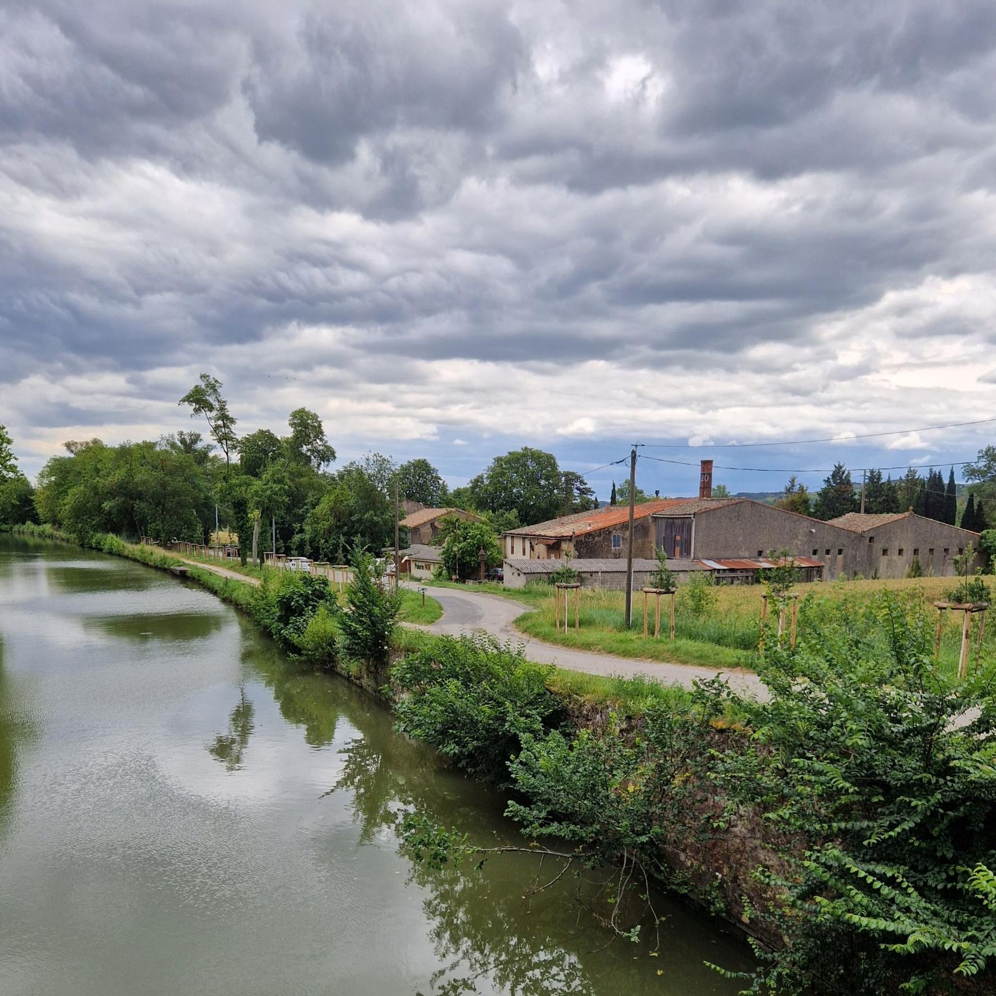
Pleasant and easy route following the Canal du Midi. Avoid in strong E/SE wind. Recommended for hybrid / mountain bikes.
1
0


The Pompertuzat bridge, also known as the Deyme bridge, dates from the 19th century. It was built of brick. It was demolished in 1814. Marshal Soult's army was followed by Wellington's troops, composed of English soldiers. They passed through Pompertuzat in April 1814, and to protect the French army, the bridge was demolished and rebuilt to restore communication with Belberaud and Escalquens.
1
0

This bridge is representative of the structures created by Pierre-Paul Riquet during the construction of the Canal du Midi at the end of the 17th century. Its semicircular arch forms a perfect half-circle. It is typical of the structures found along the entire length of the canal. Its construction method, dimensions, and the use of local materials represent a standardization that contributes to the canal's unique character. Red brick is the emblematic material of the Toulouse plain. This bridge, located in the municipalities of Deyme and Pompertuzat, has been listed as a historical monument since 1998.
0
0
The Castanet lock, located in the commune of Castanet-Tolosan, is the first lock with an elliptical basin, built in 1668.
0
0

Do we still need to introduce the Canal? But this part is truly bucolic.
0
0

It is absolutely essential to notify the Toulouse town hall, highway department.
1
0

Water point along the canal with restrooms. Cleanliness needs improvement, but it's a welcome addition during an outing.
0
0
Frequently Asked Questions
What kind of terrain can I expect on road cycling routes in Montgaillard-Lauragais?
The region offers a diverse landscape for road cycling. You'll find routes winding through the gently rolling Lauragais hills, providing moderate challenges and panoramic views of the Montagne Noire and, on clear days, the Pyrenees. There are also flatter sections across agricultural plains and along the picturesque Canal du Midi.
How many road cycling routes are available around Montgaillard-Lauragais?
There are over 200 road cycling routes available in the Montgaillard-Lauragais area. This includes a wide range of options, with 30 easy routes, 157 moderate routes, and 25 more challenging routes, ensuring something for every skill level.
Are there any easy road cycling routes suitable for beginners or a relaxed ride?
Yes, there are 30 easy road cycling routes in the area. For a relaxed experience, consider the Gravel Path to Ayguevives – Hers Crossing loop from Villefranche-de-Lauragais. This 19.5-mile (31.4 km) route traverses agricultural plains with minimal elevation gain, offering a pleasant ride.
What are some notable natural features or viewpoints along the cycling routes?
Many routes offer scenic views of the rolling Lauragais countryside, with distant glimpses of the Montagne Noire and the Pyrenees. The region is also characterized by roads lined with plane trees. The Canal du Midi is a significant feature, providing flat, shaded paths for a different cycling experience.
Can I find routes that pass by lakes or other water bodies?
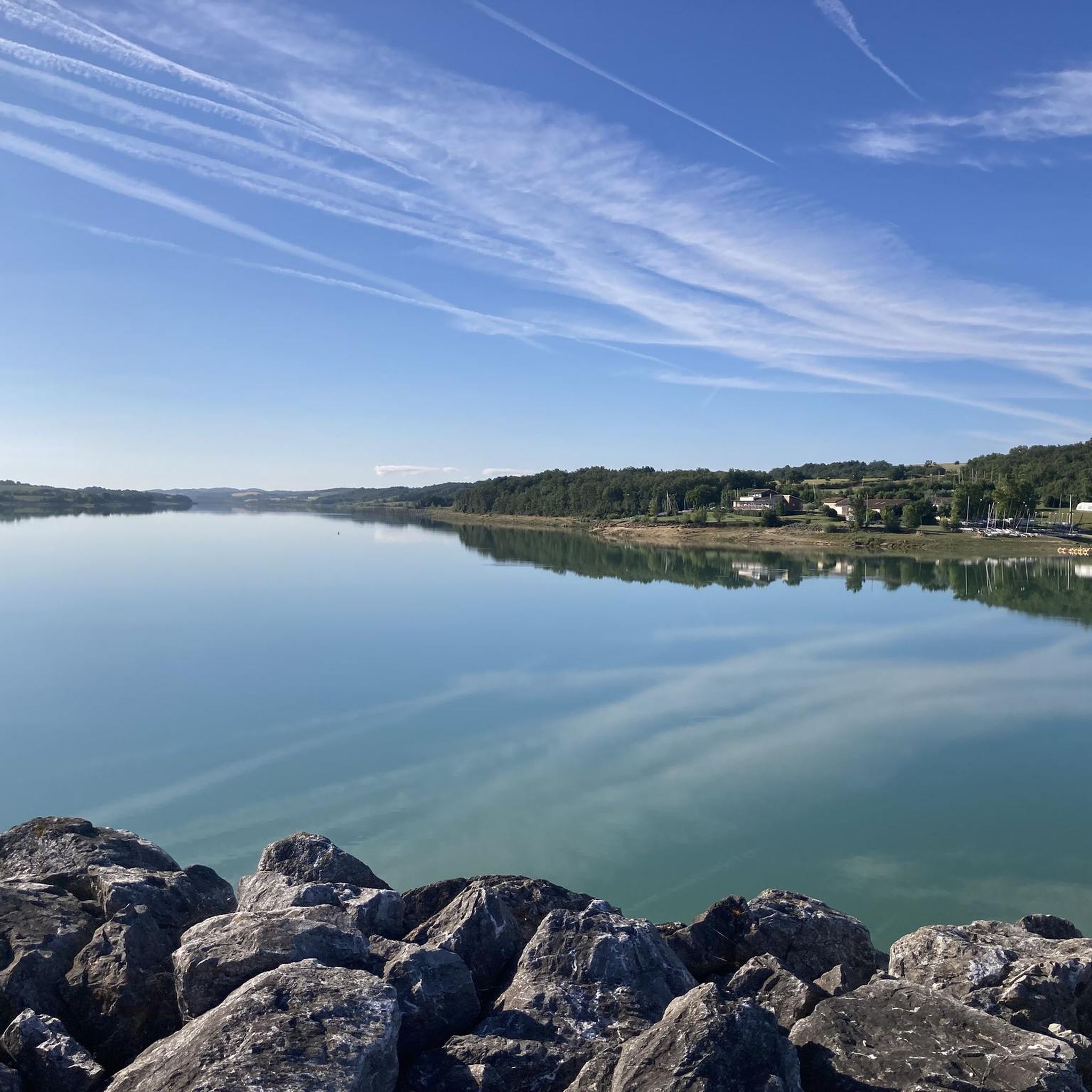
Yes, some routes in the area will take you past local water bodies. For example, the Saint-Michel-de-Lanès – Beautiful lake view loop from Villefranche-de-Lauragais is a 26.2-mile (42.2 km) trail that leads through scenic hills and offers lake views, providing a pleasant spot for a break.
Are there any historical sites or charming villages to explore along the road cycling routes?
Absolutely. The Lauragais region is rich in history and charming villages. You might cycle through places like Montesquieu-Lauragais Village, known for its heritage, or pass by the Montgeard and its church. The broader region also features old castles and historical churches.
What do other road cyclists think about the routes in Montgaillard-Lauragais?
The road cycling routes around Montgaillard-Lauragais are highly regarded by the komoot community, holding an average rating of 4.5 stars from over 90 reviews. Cyclists often praise the varied terrain, from the undulating hills to the flat Canal du Midi paths, and the scenic views of the countryside.
Are there any longer or more challenging road cycling routes available?
Yes, for those seeking a longer ride, the Moulin de Montbrun-Lauragais – Moulin de Montbrun-Lauragais loop from Villefranche-de-Lauragais is a popular choice. This moderate 37.1-mile (59.8 km) route features significant elevation gain, winding through the undulating Lauragais countryside and taking approximately 2 hours 36 minutes to complete.
Can I find circular road cycling routes in the Montgaillard-Lauragais area?
Many of the routes available are designed as loops, allowing you to start and finish in the same location. For example, the Beautiful lake view – Gardouch – Salle-sur-l'Hers loop from Villefranche-de-Lauragais is a 46.6 km (29-mile) route that offers a scenic circular ride through the region.
What is the best time of year for road cycling in Montgaillard-Lauragais?
The region is generally pleasant for cycling through much of the year. Spring and autumn offer comfortable temperatures and beautiful scenery, with plane trees lining roads adding to the autumnal charm. Summers can be warm, but the shaded paths along the Canal du Midi provide a cooler alternative.
Are there any specific attractions along the Canal du Midi that I can cycle to?
The Canal du Midi itself is a major attraction. You can cycle along sections like Canal du Midi: Marbail to Plaine de Bourbone. The canal's towpaths offer a unique, flat cycling experience, contrasting with the region's rolling hills.
Are there routes with minimal elevation for a flatter ride?
Yes, if you prefer flatter routes, the agricultural plains and especially the paths along the Canal du Midi offer minimal elevation gain. The Aqueduc des Voûtes loop from Roudeille is a moderate 25.3 km (15.7-mile) route with relatively low elevation, providing a smoother ride.
Most popular routes around Montgaillard-Lauragais
Most popular attractions around Montgaillard-Lauragais

Get inspired with the komoot mobile app


Explore more
Browse the best Road cycling routes in other regions.
