The best road cycling routes around Onglières
4.6
(57)
2,314
riders
161
rides
Road cycling routes around Onglières are characterized by the diverse and challenging landscapes of the Jura Mountains and the Haute-Savoie region of France. The area features limestone formations, plateaus, and dense forests, providing varied terrain for cyclists. Expect demanding routes with significant climbs and scenic views across the region's natural beauty.
Best road cycling routes around Onglières
- The most popular road cycling route is Les Gorges de La Saine — loop from Nozeroy, a 48.5 miles (78.0 km) trail…
Last updated: July 6, 2026
5.0
(1)
43
riders
78.0km
03:51
1,230m
1,230m
Hard road ride. Very good fitness required. Mostly well-paved surfaces and easy to ride.
2
riders
65.1km
03:03
840m
840m
Moderate road ride. Good fitness required. Mostly well-paved surfaces and easy to ride.

Sign up for free
21
riders
101km
04:27
1,010m
1,010m
Hard road ride. Very good fitness required. Mostly well-paved surfaces and easy to ride.
26
riders
56.1km
02:38
700m
700m
Moderate road ride. Good fitness required. Mostly well-paved surfaces and easy to ride.
22
riders
Moderate road ride. Good fitness required. Mostly well-paved surfaces and easy to ride.
Get access to more routes and recommendations from other explorers.
Sign up for free
Already have an account?
Our route recommendations are based on thousands of hikes, rides, and runs completed by other people on komoot.
Start today with a free account
Your next adventure awaits.
Login or Signup


Tips from the Community

View of a magnificent waterfall from the bridge.
0
0

The museum is now closed but you can visit and look around the outside.
0
0

Pass without any difficulty from Mouthe: approximately 6.5 km at 3-4%.
0
0
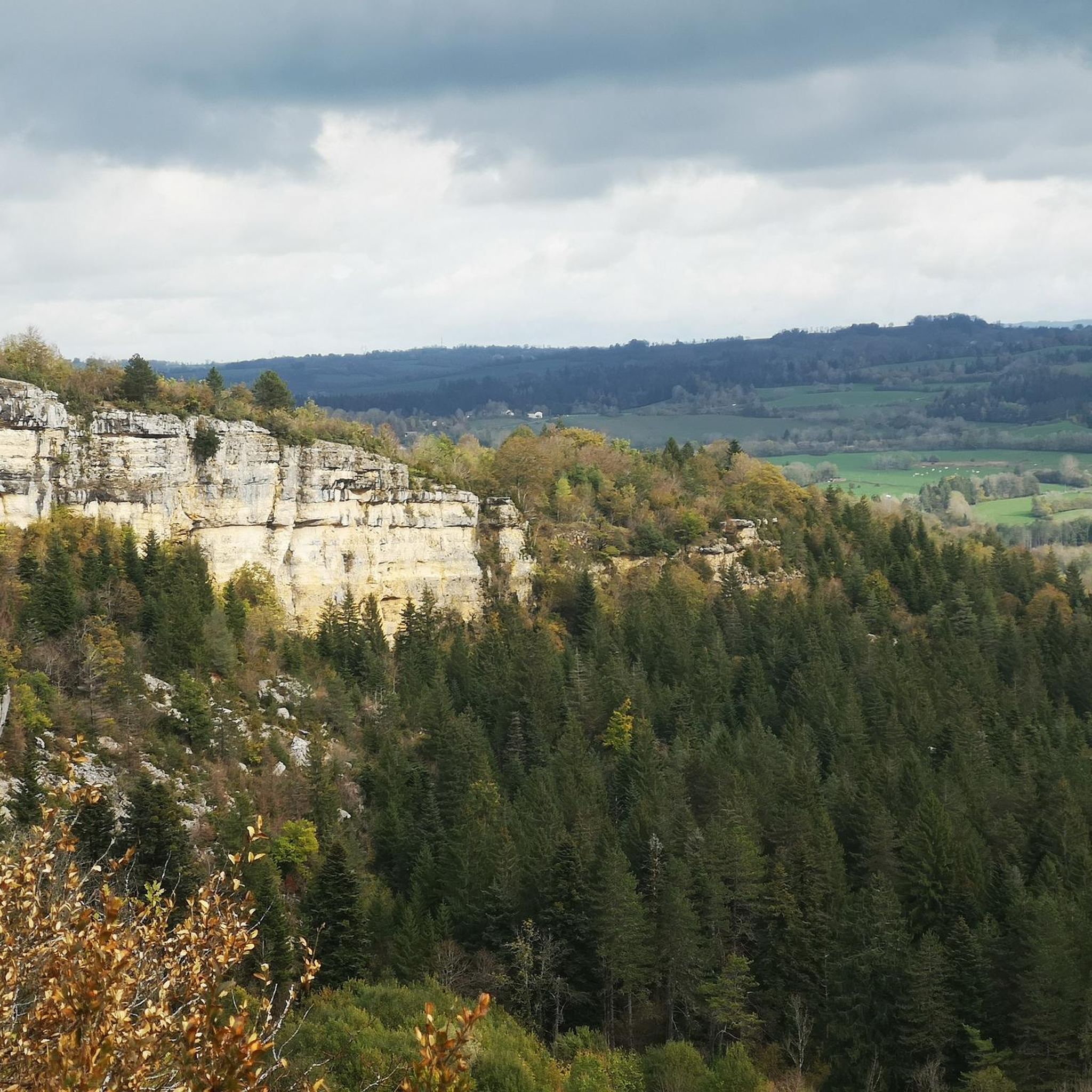
Beautiful section of balcony road above the Saine.
0
0

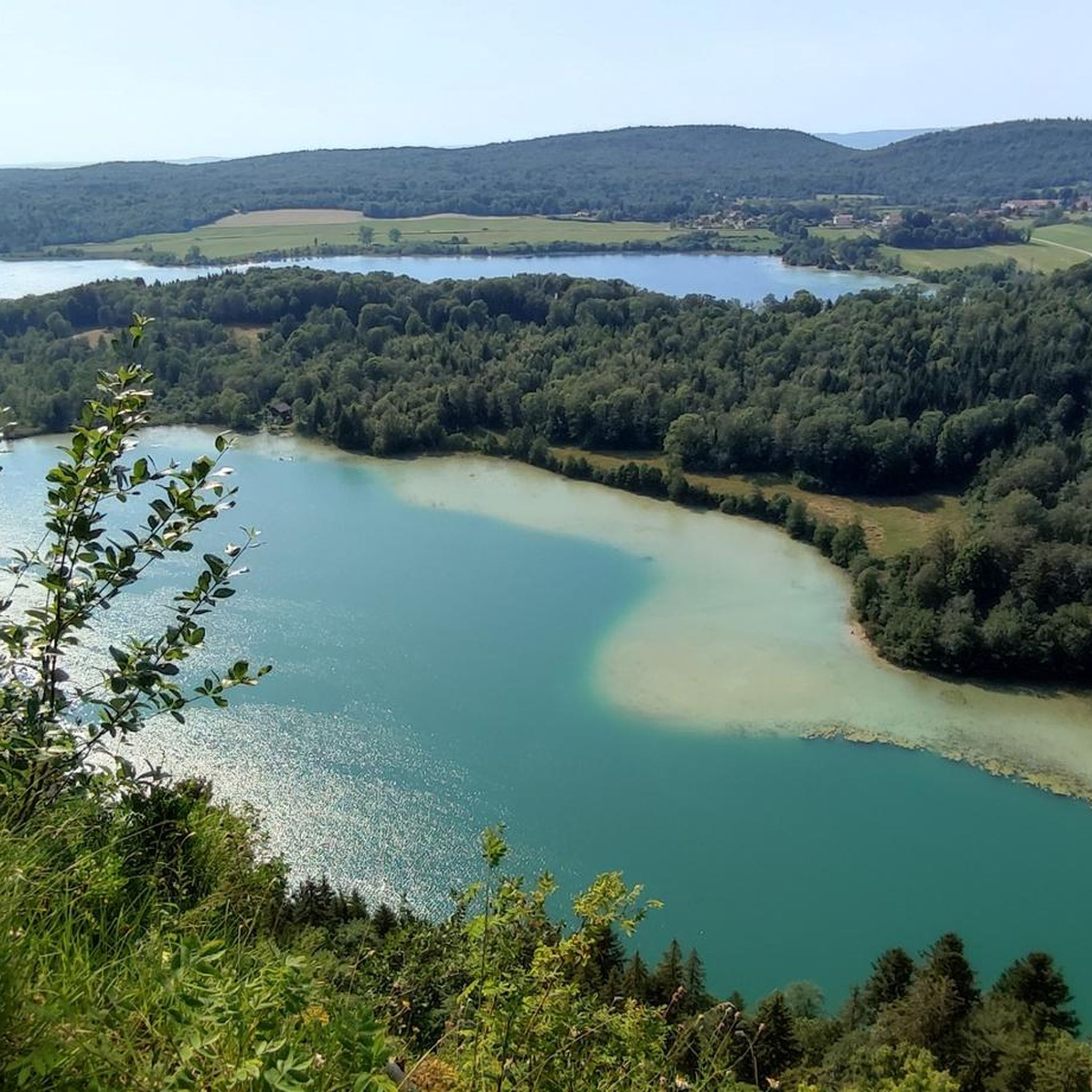
Third largest natural lake in France with its 398 hectares. Whatever the season, we never tire of observing it from the road.
0
0
Frequently Asked Questions
How many road cycling routes are available around Onglières?
There are over 160 road cycling routes around Onglières, offering a wide range of options for different skill levels. You'll find everything from moderate loops to challenging ascents, with 14 easy, 101 moderate, and 47 difficult routes to explore.
What kind of terrain can I expect when road cycling in the Onglières region?
The Onglières region, situated within the Jura Mountains and Haute-Savoie, features diverse and challenging terrain. Cyclists can expect limestone formations, plateaus, and dense forests. Routes often include significant climbs, such as those found on the Glières Plateau, which has been featured in the Tour de France for its demanding gradients. Some routes may even incorporate short gravel sections for adventurous riders.
Are there any family-friendly road cycling routes near Onglières?
While many routes in the region feature challenging climbs, there are 14 easy road cycling routes around Onglières that could be suitable for families or beginners looking for a less strenuous ride. These routes generally have less elevation gain and cover shorter distances, allowing for a more relaxed experience.
What are some of the most scenic views or landmarks I can see along the road cycling routes?
Road cycling routes around Onglières offer stunning natural beauty and historical landmarks. You can enjoy views of Lac de Saint-Point, as seen on the View of Lac de St-Point – View of Lac de Saint-Point loop from Nozeroy. Other notable attractions in the wider region include the medieval town of Nozeroy, the beautiful Moulin du Saut Waterfall, and the unique natural site of Pertes de l'Ain where the Ain river disappears underground.
Are there any circular road cycling routes available?
Yes, many of the road cycling routes around Onglières are designed as loops. For example, the popular Les Gorges de La Saine — loop from Nozeroy and the Col de Saint-Sorlin — loop from Nozeroy are both circular routes that allow you to start and end in the same location.
What is the best time of year to go road cycling in Onglières?
The best time for road cycling in Onglières is generally from spring through autumn. During these seasons, the weather is more favorable, and the scenic routes are at their most vibrant. The Jura Mountains can experience significant snowfall in winter, making road cycling challenging or impossible on many routes.
What do other road cyclists enjoy most about road cycling in Onglières?
The road cycling experience in Onglières is highly rated by the komoot community, with an average score of 4.5 stars from over 40 reviews. Cyclists often praise the diverse and challenging terrain, the stunning natural beauty of the Jura Mountains, and the rewarding climbs that offer panoramic views.
Are there any routes that feature significant climbs, similar to those in the Tour de France?
Absolutely. The region is known for its challenging ascents. The Glières Plateau, for instance, has been part of the Tour de France, featuring climbs like the Col des Glières with gradients up to 11.5%. Routes such as the Col de Saint-Sorlin — loop from Nozeroy also include notable climbs that provide a demanding and rewarding experience.
Can I find routes that pass by historical sites or cultural attractions?
Yes, the region offers routes that allow you to combine cycling with cultural exploration. The medieval town of Nozeroy, with its well-preserved historical houses, is a notable attraction. Additionally, the Glières Plateau itself holds significant historical importance as a site of French Resistance during WWII, marked by the National Resistance Monument.
Are there any shorter, moderate routes for a half-day ride?
Yes, there are several moderate routes suitable for a half-day ride. For example, the Roadbike loop from Longcochon is a moderate 36 km route that takes around 1 hour 50 minutes to complete. Another option is the Nozeroy – Nozeroy loop from Rix, which is 44.5 km and typically takes about 2 hours 3 minutes.
What natural features, like waterfalls or rivers, can I discover on these routes?
The region is rich in natural wonders. You can encounter the beautiful Moulin du Saut Waterfall, a 15-meter natural waterfall formed by La Serpentine. The unique Pertes de l'Ain, where the Ain river historically disappeared underground, is another fascinating natural site to explore.
Most popular attractions around Onglières

Get inspired with the komoot mobile app


Explore more
Browse the best Road cycling routes in other regions.
