The best walks and hikes around Crans
4.4
(3110)
18,010
hikers
249
hikes
Hiking around Crans is characterized by varied terrain, including river valleys, forested areas, and mountainous landscapes. The region features a network of paths that traverse through natural environments, offering diverse elevation changes. Hikers can explore routes that follow water features, such as ancient irrigation channels known as bisses, and lead to scenic viewpoints. The area provides a range of hiking experiences across its natural environment, from gentle paths through oak groves to more challenging trails with panoramic vistas.
Best hiking trails around Crans
- The most popular hiking route is The losses of the Ain and the castle Villain — loop, a 4.2 miles (6.8 km) trail that takes 2 hours 10 minutes to complete. This moderate route features river views and historical points of interest.
- Another top favourite among local hikers is Pertes de l'Ain – Waterfall loop from Bourg-de-Sirod, an easy 3.1 miles (5.0 km) path. This trail offers views of waterfalls and follows the Ain river.
- Local hikers also love the The Great Chimney – Belvédère des Prés Grillet loop from Syam, a 4.8 miles (7.7 km) trail leading through forested areas and offering panoramic viewpoints, often completed in about 2 hours 22 minutes.
- Hiking around Crans is defined by river valleys, forested paths, and scenic viewpoints. The network offers options for easy strolls to more challenging moderate excursions.
- The routes in Crans are highly rated by the komoot community with an average score of 4.4 stars from more than 2,200 reviews. More than 13,000 hikers have used komoot to explore Crans's varied terrain.
Last updated: October 9, 2026
4.5
(47)
205
hikers
6.81km
02:10
280m
270m
Hike the Pertes de l'Ain and Château Villain Loop, a moderate 4.2-mile trail featuring river gorges, waterfalls, and medieval ruins.
4.6
(54)
326
hikers
4.97km
01:28
150m
150m
Easy hike. Great for any fitness level. Easily-accessible paths. Suitable for all skill levels.

4.5
(19)
148
hikers
1.95km
00:35
60m
60m
Easy hike. Great for any fitness level. Easily-accessible paths. Suitable for all skill levels.
4.7
(6)
54
hikers
15.3km
04:44
420m
420m
Moderate hike. Good fitness required. Mostly accessible paths. Sure-footedness required.
4.7
(7)
48
hikers
6.60km
01:47
90m
90m
Easy hike. Great for any fitness level. Easily-accessible paths. Suitable for all skill levels.
Get access to more routes and recommendations from other explorers.
Already have an account?
Our route recommendations are based on thousands of hikes, rides, and runs completed by other people on komoot.
Start today with a free account
Your next adventure awaits.
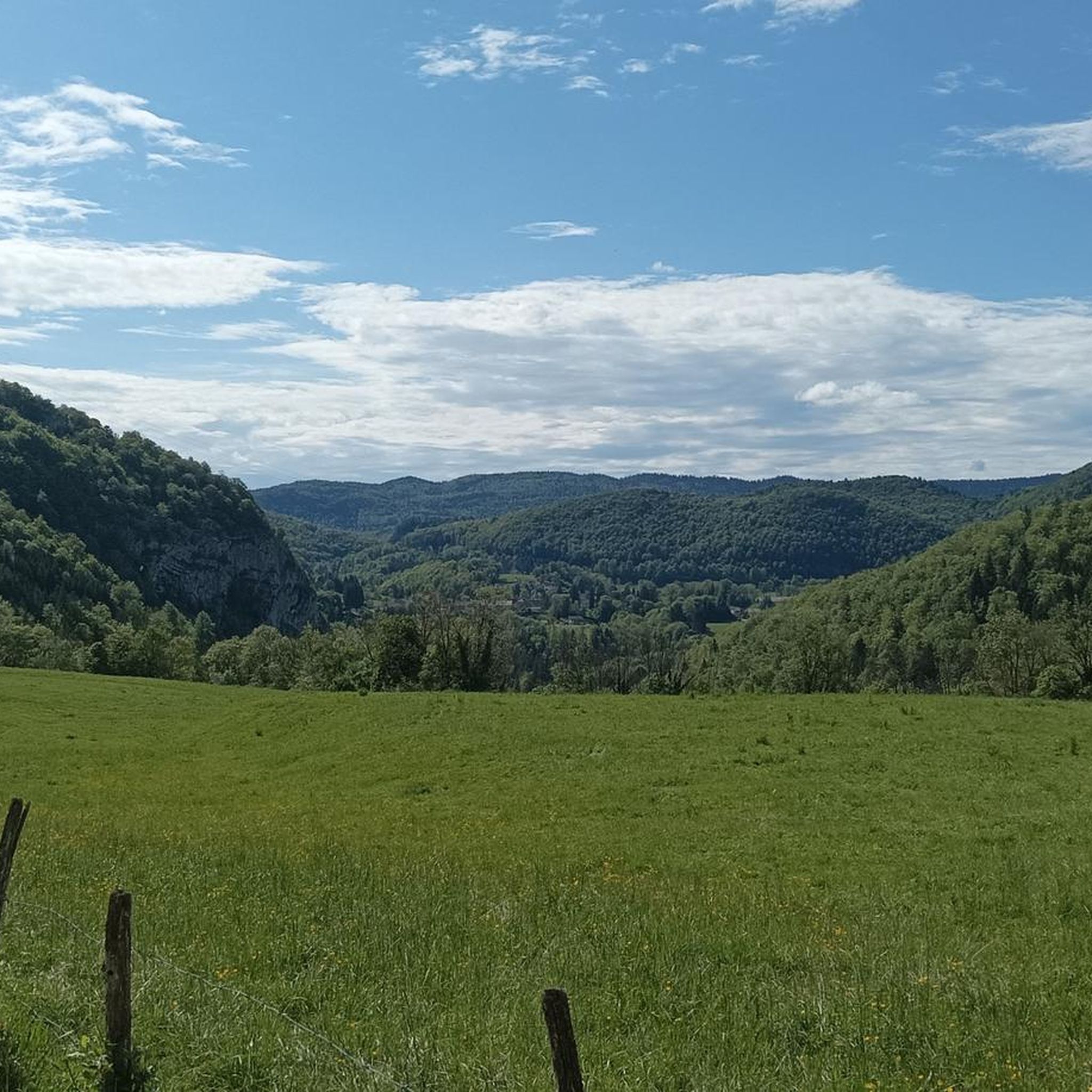
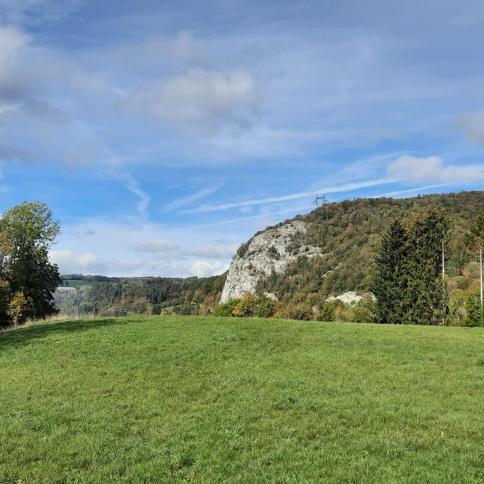
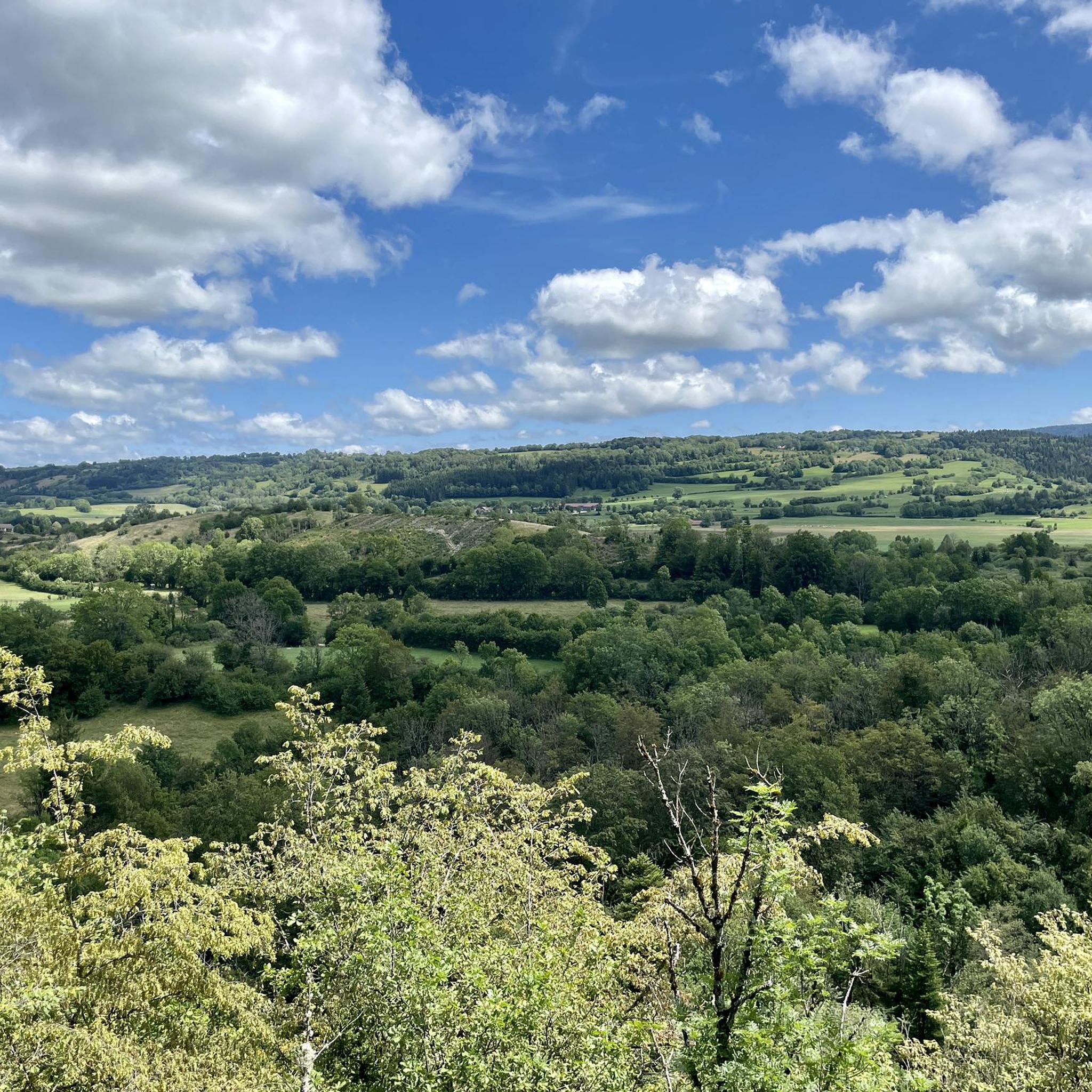
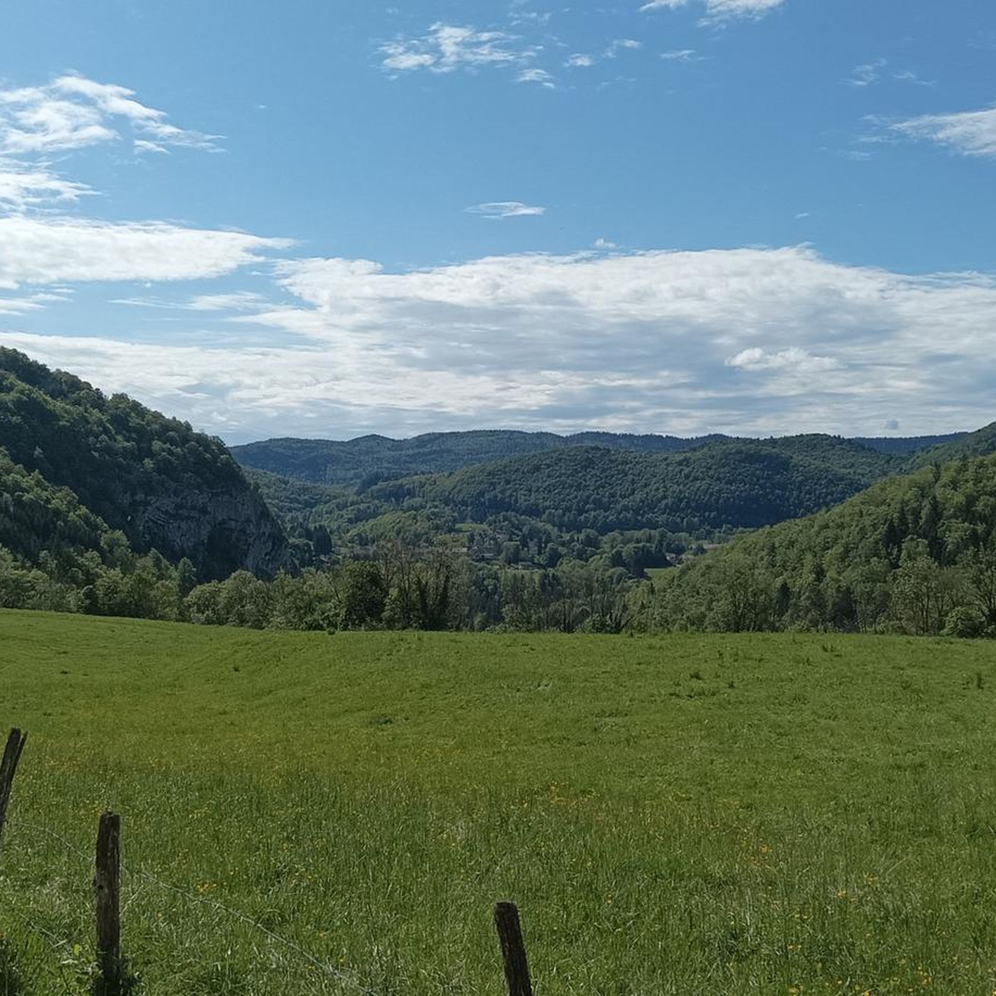
Tips from the Community

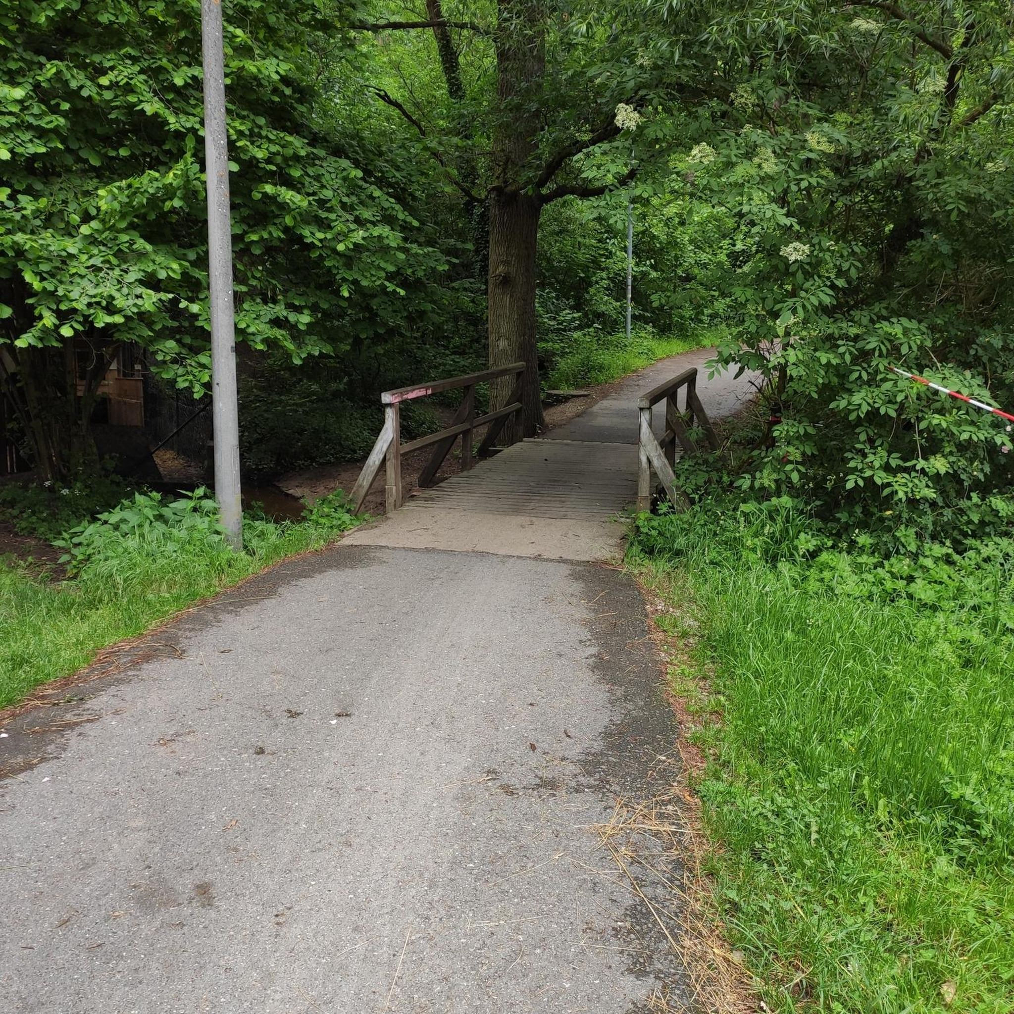
Signposted by the city as “Cascade des Tufs.” As of September 2026, due to an extreme drought, the waterfall is unfortunately completely dried up. Normally, it is covered in moss and is absolutely beautiful. 🌿💦 Feel free to share and upload your photos to showcase its beauty when it is flowing. 📸✨
0
0

View of a magnificent waterfall from the bridge.
0
0


A short walk through the footbridges and belvederes that line the Ain after its departure, magnificent scenery
0
0

Several million years ago, the Ain was lost underground, in a labyrinth of cavities, an underground gallery called "losses". Over time, the work of water erosion has done its work, and has nibbled the limestone and destroyed the vault of the underground gallery. It remains today a unique natural site where water makes its way between rocky piles and stone remains.
1
0
The ruins of the castle of Château-Vilain occupy a remarkable position, they are in the Jura mountains, on the second plateau at an altitude of 720m, and dominate the valley of the Ain and the losses of the river
0
0

The Vilain Castle was demolished in 1810 to make way for factories, a sad end for a castle designed in 1186.
2
0
A marked and laid out path allows you to follow the bubbling Ain river along narrow and deep gorges, rocks and waterfalls, all surrounded by forest.
3
0
Frequently Asked Questions
How many hiking trails are available around Crans?
There are over 240 hiking routes around Crans, offering a wide range of experiences from easy strolls to more challenging excursions. Approximately 100 of these are considered easy, while over 120 are moderate, and about 20 are more difficult.
What kind of terrain can I expect on hikes around Crans?
Hiking around Crans features diverse terrain, including river valleys, ancient irrigation channels known as bisses, and forested areas. You can find paths through oak groves, spruce and deciduous trees, as well as more mountainous landscapes with varying elevation changes. The region also boasts unique geological formations like Le Boup, a landslide scar with colorful schist and gypsum rocks.
Are there easy hiking options suitable for families or beginners in Crans?
Yes, Crans offers over 100 easy hiking routes perfect for families or beginners. The ancient irrigation channels, known as bisses, provide relatively flatter terrain through forests and groves. An example is the Pertes de l'Ain – Waterfall loop from Bourg-de-Sirod, an easy 3.1-mile path featuring river views and waterfalls.
Can I find hikes with waterfalls in Crans?
Absolutely. The region around Crans is home to several beautiful waterfalls. You can explore routes that lead to highlights such as the Moulin du Saut Waterfall and the Bief de la Ruine Waterfalls. The Pertes de l'Ain – Waterfall loop from Bourg-de-Sirod is a popular easy trail that specifically highlights waterfalls along the Ain river.
What are the best viewpoints or panoramic spots on hikes in Crans?
Crans offers incredible panoramic views from various points. From places like Les Echerts, you can admire the peaks of the Grand Bonvin and Petit Bonvin mountains, with the Trubelstock marking a regional border. The The Great Chimney – Belvédère des Prés Grillet loop from Syam is a moderate trail known for its panoramic viewpoints through forested areas.
Are there any unique natural features to explore while hiking in Crans?
Yes, Crans boasts unique natural features. The Grand Bisse, an ancient irrigation channel, offers distinctive paths through forests and groves. Another remarkable site is Le Boup, a 140-hectare landslide scar with colorful schist and gypsum rocks, described as a 'lunar and Amazonian' landscape, especially vibrant in spring with returning vegetation.
What do other hikers enjoy most about hiking in Crans?
The hiking trails in Crans are highly rated by the komoot community, with an average score of 4.4 stars from over 2,200 reviews. Hikers frequently praise the varied terrain, which includes scenic river valleys, peaceful forested paths, and stunning panoramic viewpoints. The well-maintained network of paths and the diverse natural environments are often highlighted as key attractions.
Are there any circular hiking routes in Crans?
Many of the trails around Crans are designed as circular routes, allowing you to start and end at the same point. Examples include The losses of the Ain and the castle Villain — loop, a moderate 4.2-mile trail, and the easy Pertes de l'Ain – Waterfall loop from Bourg-de-Sirod.
What kind of wildlife might I encounter on the trails?
While hiking in Crans, you might encounter local fauna such as foxes and roe deer. Shyer animals like wild boars also inhabit the area, adding an element of nature observation to your outdoor excursions.
Are there any lakes or other attractions near the hiking trails?
Yes, the Crans region is surrounded by beautiful lakes and other attractions. You can find highlights like the Three Lakes Viewpoint, Petit Maclu Lake, Lake Ilay, and Lake Narlay. Other notable attractions include the Pic de l'Aigle summit and the dramatic Langouette Gorges.
What is the best time of year to go hiking in Crans?
Crans is a popular destination for summer adventures and hiking, offering pleasant conditions for exploring its diverse landscapes. However, the region's unique features, like Le Boup's 'Amazonian forest' transformation in spring, suggest that late spring to early autumn generally provides the best weather and most vibrant scenery for hiking.
Most popular attractions around Crans

Get inspired with the komoot mobile app


Explore more
Browse the best Hikes in other regions.
