The best MTB trails around Laperrière-Sur-Saône
4.3
(157)
817
riders
92
rides
Mountain biking around Laperrière-Sur-Saône offers diverse terrain within the Côte-d'Or department. The region is characterized by the Saône river and its alluvial plain, featuring well-aerated soils and numerous streams. Further inland, riders encounter verdant forests and hills, providing varied routes. The Canal du Rhône au Rhin also borders the area, adding more pathways suitable for cycling.
Best mountain bike trails around Laperrière-Sur-Saône
- The most popular mountain bike trail is Beautiful view of the surroundings – Mount Roland loop from Damparis…
Last updated: July 2, 2026
4.3
(3)
27
riders
Moderate mountain bike ride. Good fitness required. Advanced riding skills necessary.
5.0
(2)
13
riders
Easy mountain bike ride. Great for any fitness level. Suitable for all skill levels.

Sign up for free
6
riders
31.7km
02:26
420m
420m
Moderate mountain bike ride. Good fitness required. Advanced riding skills necessary.
3
riders
24.3km
01:40
220m
220m
Moderate mountain bike ride. Great for any fitness level. Advanced riding skills necessary.
5.0
(1)
9
riders
46.7km
02:27
180m
180m
Moderate mountain bike ride. Good fitness required. Suitable for all skill levels.
Get access to more routes and recommendations from other explorers.
Sign up for free
Already have an account?
Our route recommendations are based on thousands of hikes, rides, and runs completed by other people on komoot.
Start today with a free account
Your next adventure awaits.
Login or Signup
Tips from the Community

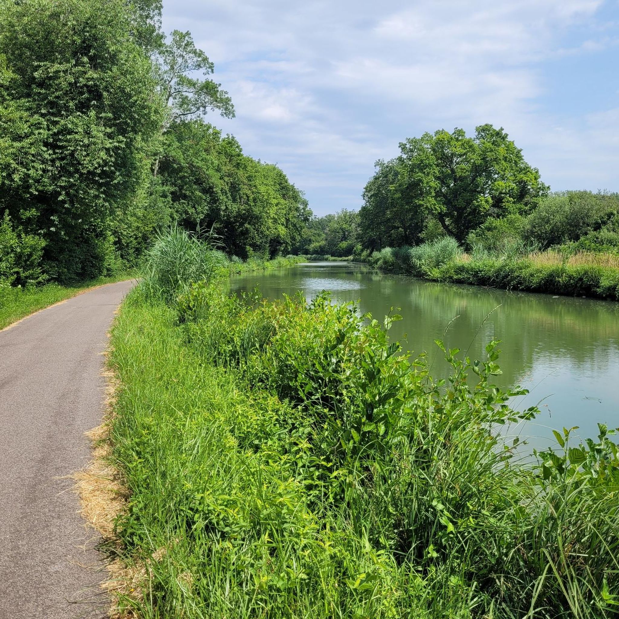
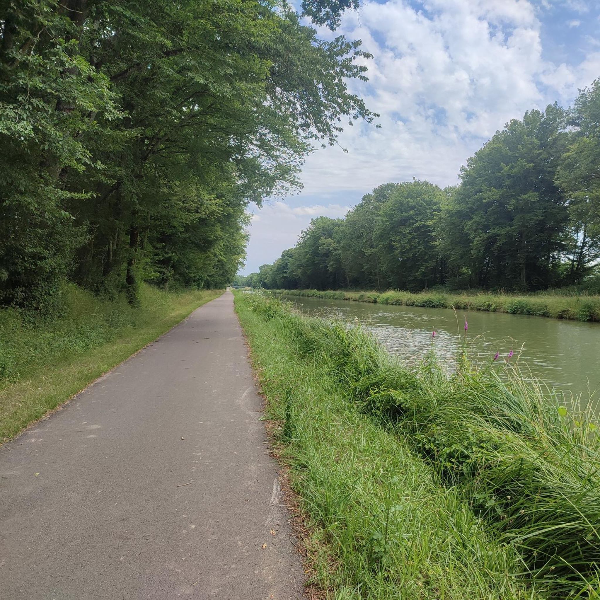
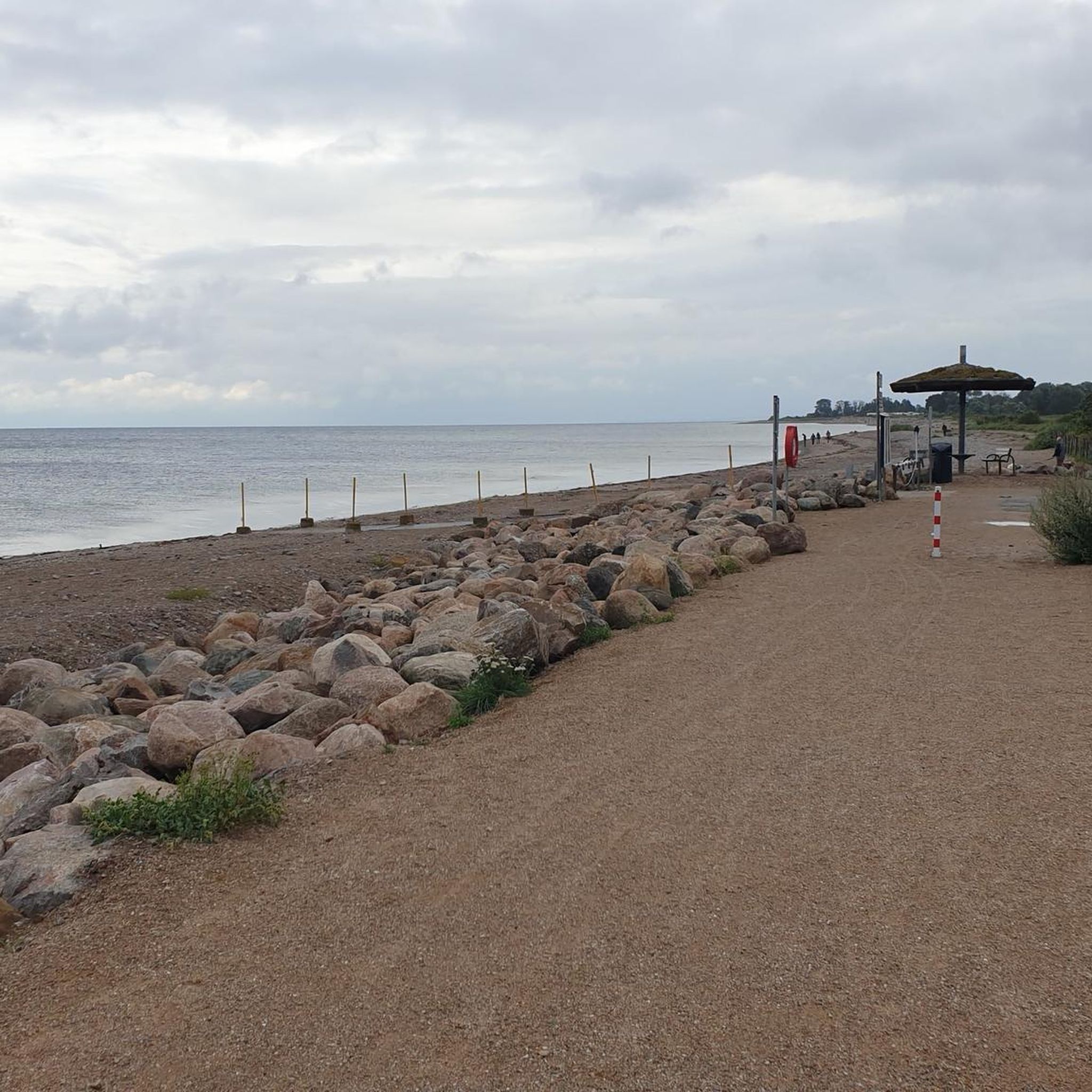
Beautiful resting place with charging facilities for e-bikes
0
0

A small, nice place. Before the bridge, there is a bakery.
0
0

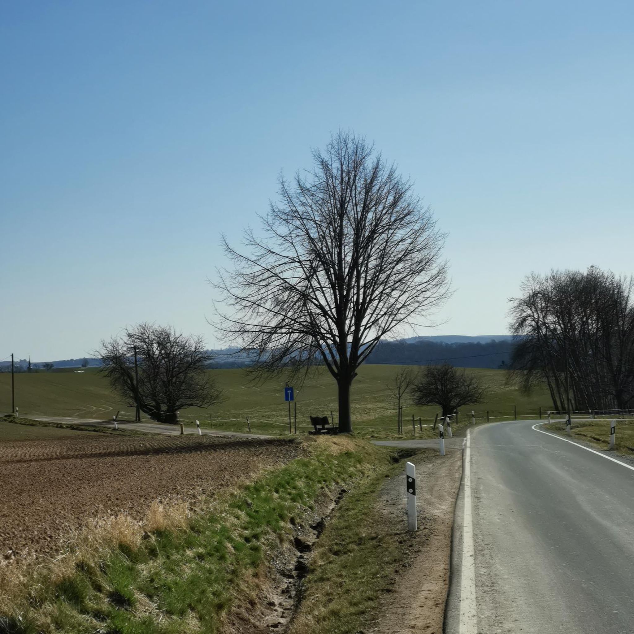
From here, you can enjoy breathtaking views of the surrounding fields and forests. A great place to take a break and refuel!
0
0
The Notre-Dame de Mont-Roland sanctuary, located on the heights of Dole, is an ancient pilgrimage site dedicated to the Virgin Mary. Founded in the 17th century, it includes a chapel, a calvary, and a Stations of the Cross, all surrounded by forest. The site also offers a sweeping panorama of the Doubs Valley and the Jura Mountains.
0
0

Originally, the Saint-Jean-de-Losne bridge was made of wood and crossed the river diagonally by road no. 27 linking Dijon to Losne. It started on the right bank, a little downstream from the current bridge, and then joined the old Seurre road. The structure was destroyed many times by floods and ice break-ups, but was always rebuilt in the same place until 1830. It was rebuilt in stone from 1833, then rebuilt again after being cut down during the war of 1870… The bridge suffered damage from the war twice more. On June 16, 1940, French engineers blew up an arch, and on September 7, 1944, the retreating Germans dynamited the rest. It was then replaced by a temporary wooden footbridge. After the liberation, the reconstruction work was put out to tender. After all these twists and turns, the bridge was finally rebuilt in the same place in 1950.
0
0

Very beautiful view of the Saône plain and Mont Poupet. Free ride in the Chaux forest, Rochefort and cliff, return via Mont Roland
0
0
Sanctuary of the departure of the pilgrimage to Vézelay or to Compostela.
1
0

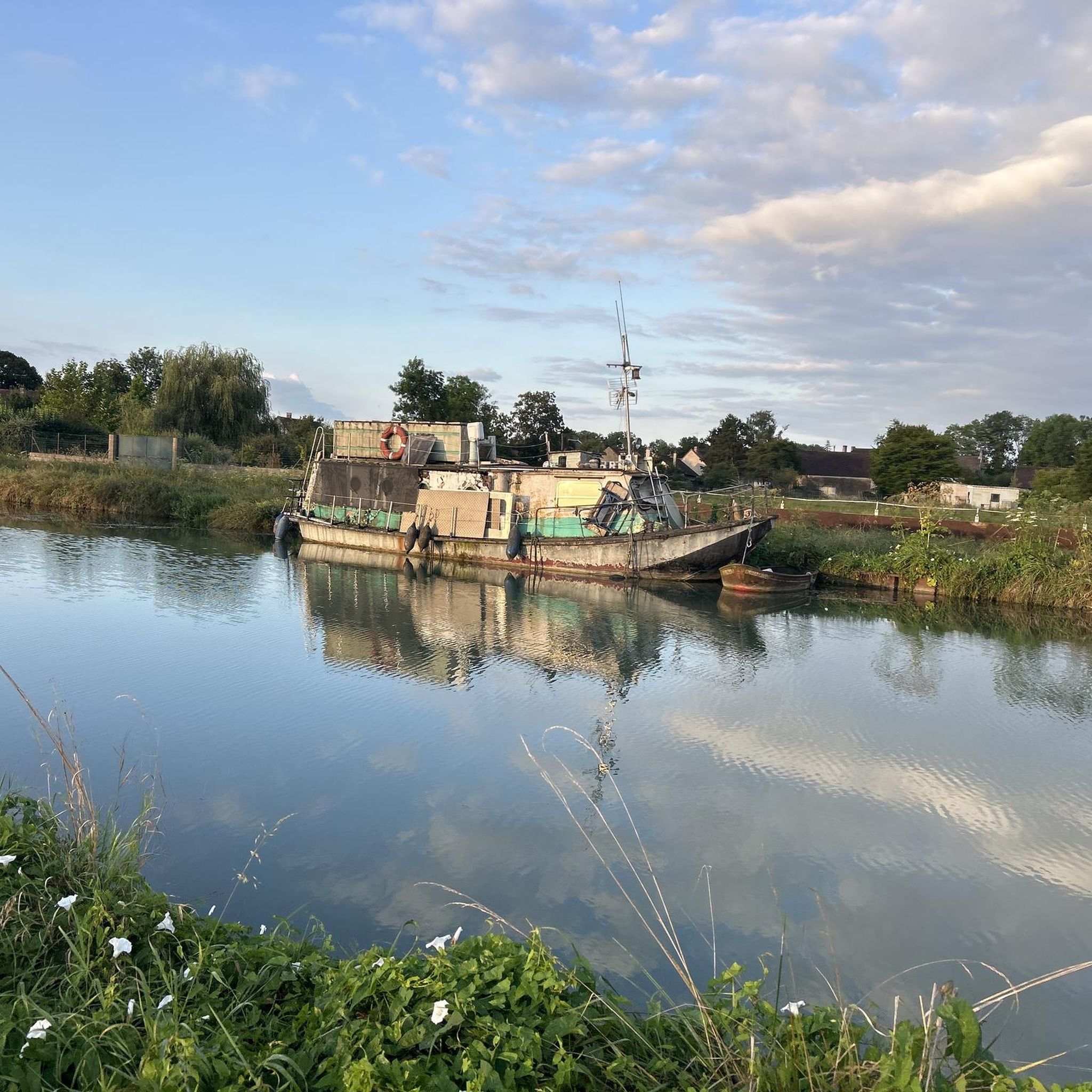
A lovely spot with good food – beautiful steps down to the river. Very relaxed!
2
0
Frequently Asked Questions
What kind of terrain can I expect on mountain bike trails around Laperrière-Sur-Saône?
The region offers diverse terrain. You'll find routes along the Saône river and its alluvial plain, characterized by well-aerated soils. Further inland, trails lead through verdant forests and picturesque hills, providing varied experiences from flat riverside paths to more undulating forested sections. The Canal du Rhône au Rhin also offers additional pathways.
Are there mountain bike trails suitable for beginners or families in Laperrière-Sur-Saône?
Yes, there are plenty of options for easier rides. Approximately 34 of the nearly 100 mountain bike trails in the area are classified as easy. These often follow the river, offering flat terrain suitable for a relaxed ride. An example is the Saint-Jean-de-Losne – Port of Saint-Jean-de-Losne loop from Damparis, which is 30.7 km long with minimal elevation gain.
Are there any challenging mountain bike trails for experienced riders?
While the majority of trails are easy to moderate, there are a few more challenging options. The region features routes through hills and forests that provide more technical sections and greater elevation changes. There are 2 trails classified as difficult, and 63 moderate trails that can offer a good workout for experienced riders.
What natural features or landmarks can I see while mountain biking around Laperrière-Sur-Saône?
You'll encounter several natural and historical features. The Saône River itself is a constant presence, and you can ride along the Voie Bleue, a significant cycling route. The Canal du Rhône au Rhin also borders the area, offering scenic pathways. Nearby attractions include the charming town of Saint-Jean-de-Losne and the Port of Saint-Jean-de-Losne.
Can I find circular mountain bike routes in the area?
Yes, many of the mountain bike trails around Laperrière-Sur-Saône are designed as loops, allowing you to start and finish at the same point. For instance, the Beautiful view of the surroundings – Mount Roland loop from Damparis is a popular 35.8 km circular route.
What do other mountain bikers enjoy most about the trails in Laperrière-Sur-Saône?
The area is highly rated by the komoot community, with an average score of 4.4 stars from over 100 reviews. Riders often praise the diverse landscapes, from peaceful riverside paths to engaging forest sections, and the variety of routes catering to different skill levels. Over 800 mountain bikers have used komoot to explore the region's varied terrain.
Are there any specific mountain bike trails that offer good viewpoints?
Many trails provide scenic views, especially those that venture into the higher, forested areas. The Beautiful view of the surroundings – Mount Roland loop from Damparis is specifically highlighted for its views of the surrounding landscape, offering an elevation gain of over 600 meters.
Is there a dedicated mountain bike trail in the vicinity?
Yes, the "50 Acres" mountain bike trail is a notable marked route near the Val de Saône, accessible from Montmançon or Saint-Sauveur. This trail offers dedicated paths for mountain bikers, including a 17.8 km main route with an optional 7.8 km loop, indicating specific infrastructure for the sport in the area.
What is the best time of year to go mountain biking in Laperrière-Sur-Saône?
The region's climate generally allows for mountain biking through much of the year. Spring and autumn offer pleasant temperatures and vibrant scenery, making them ideal. Summer can also be enjoyable, especially on shaded forest trails or along the river. Winter riding is possible, but conditions may vary, particularly in forested areas.
Are there any amenities like cafes or restaurants near the mountain bike routes?
Laperrière-Sur-Saône and nearby towns like Saint-Jean-de-Losne offer countryside charm and local amenities. While specific cafes directly on trails are not detailed, you can find options for 'séjour à la campagne' (countryside stays) and local establishments in the villages to refuel after your ride. For example, the VTT Mont Roland Fast outing – Restaurant mjammie loop from Damparis mentions a restaurant, suggesting amenities are available in some areas.
How long are the mountain bike trails typically in this region?
The trails vary significantly in length. You can find shorter routes, but many popular trails are quite substantial. For example, the La Madeleine Pond – Ford Crossing loop from Damparis is 46.6 km long, and the Mont Coq – Mont Joly loop from Flagey-lès-Auxonne covers 24.3 km. The average duration for many routes is between 2 to 3 hours, but longer rides are certainly available.
Most popular routes around Laperrière-Sur-Saône
Most popular attractions around Laperrière-Sur-Saône

Get inspired with the komoot mobile app


Explore more
Browse the best MTB trails in other regions.
