The best road cycling routes around Villoncourt
4.4
(31)
1,636
riders
184
rides
Road cycling around Villoncourt, a village in France's Vosges department, offers routes through a serene agricultural landscape. The area is characterized by altitudes ranging from 314 to 362 meters, with routes often following the Durbion valley and river. Cyclists can expect lush green surroundings, including pine and beech forests, providing a scenic backdrop for rides. The region's focus on eco-tourism supports the development of cycling routes suitable for various experiences.
Best road cycling routes around Villoncourt
- The most popular road…
Last updated: July 5, 2026
5.0
(2)
71
riders
48.1km
02:13
400m
400m
Moderate road ride. Good fitness required. Mostly well-paved surfaces and easy to ride.
28
riders
51.6km
02:12
380m
390m
Moderate road ride. Good fitness required. Mostly well-paved surfaces and easy to ride.

Sign up for free
19
riders
43.8km
02:00
410m
410m
Moderate road ride. Good fitness required. Mostly well-paved surfaces and easy to ride.
11
riders
32.8km
01:37
270m
270m
Easy road ride. Great for any fitness level. Mostly well-paved surfaces and easy to ride.
15
riders
45.7km
02:11
410m
410m
Moderate road ride. Good fitness required. Mostly well-paved surfaces and easy to ride.
Get access to more routes and recommendations from other explorers.
Sign up for free
Already have an account?
Our route recommendations are based on thousands of hikes, rides, and runs completed by other people on komoot.
Start today with a free account
Your next adventure awaits.
Login or Signup
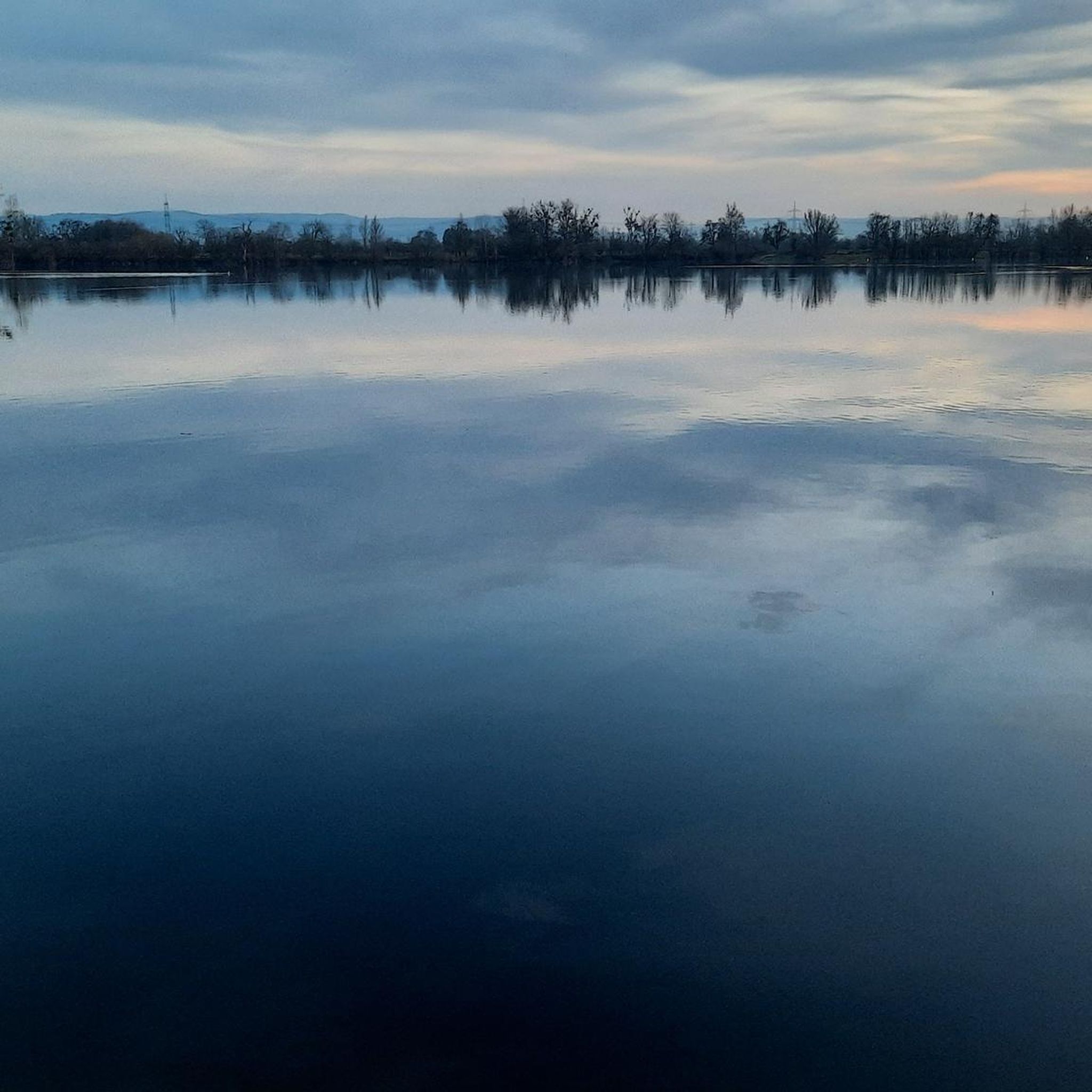



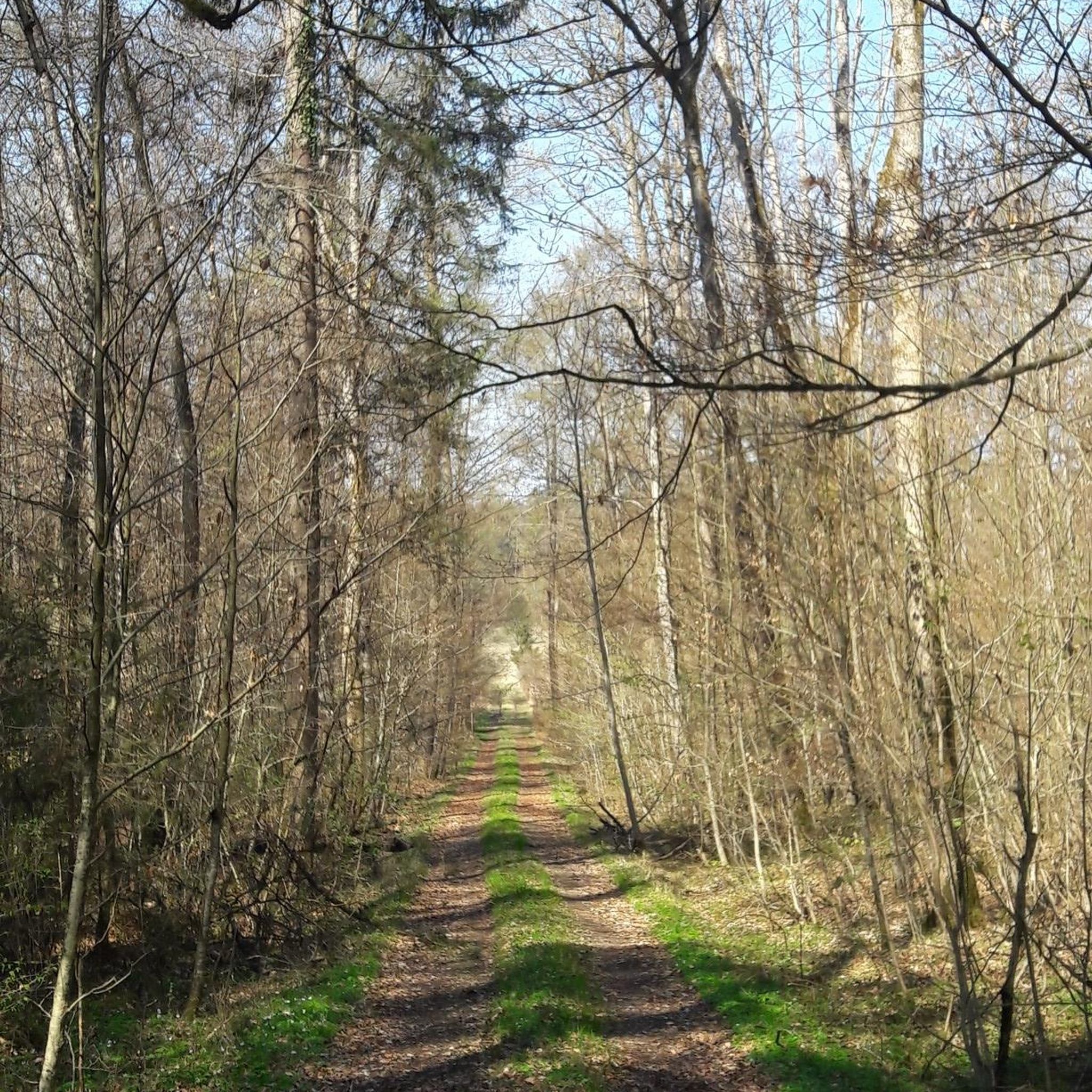
Tips from the Community

Ideal for cooling off on hot days 🥵
0
0
Memorial to the fallen of the First World War 🕊️
0
0

The sandstone rocks are made of red sandstone.
3
0

Just after Archettes you can see these rock formations on the side of the road.
3
0

A beautifully landscaped shore
1
0
Unfortunately, the mill is no longer in operation. However, the weir still looks impressive.
1
0

The Main Conglomerate (fig.2) is a benchmark level of the Middle Buntsandstein (Lower Triassic). Also called Poudingue de Sainte Odile, it crops out throughout the North East of France. It corresponds to an episode of continental detrital sedimentary deposits, of fluvial origin. Its power does not exceed 20 meters. It is covered by the Sandstones of the “Intermediate Layers” of the Upper Buntsandstein. The well-cemented levels are remarkable for the projections or entablatures that they form on the cliff. (Source: Géologie Lorraine) This is the end of the training on the Straße near Archette. Als Laie sehe ich Buntsandstein mit eingelagertem Kies und runden Auswaschungen
5
0

Frequently Asked Questions
What kind of terrain can I expect on road cycling routes around Villoncourt?
The road cycling routes around Villoncourt primarily traverse a serene agricultural landscape, characterized by altitudes ranging from 314 to 362 meters. You'll find routes often following the picturesque Durbion valley and river, offering lush green surroundings, including pine and beech forests. The terrain generally features varied gradients, with options ranging from easy, gentle paths to more challenging routes with notable elevation gains.
Are there road cycling routes suitable for beginners or families in Villoncourt?
Yes, Villoncourt offers several easy road cycling routes perfect for beginners or families. For instance, the La Voie Bleue – Sluice loop from Domèvre-sur-Durbion is an easy 15.5-mile (24.9 km) path with gentle gradients along the Durbion valley. Another accessible option is the Sluice – Waterway junction loop from Longchamp, a 19.3-mile (31.0 km) trail through agricultural landscapes.
What are some longer or more challenging road cycling routes in the Villoncourt area?
For those seeking a greater challenge, the region offers routes with more significant distances and elevation. The Rock Road – Dignon loop from Villoncourt is a moderate 29.9-mile (48.1 km) route with a notable elevation gain of 396 meters. Another option for experienced cyclists is the Abbaye Notre-Dame d'Autrey – Côte de St. Helene loop from Padoux, which spans over 60 km and features an elevation gain of over 500 meters.
What landmarks or points of interest can I see while road cycling near Villoncourt?
While cycling near Villoncourt, you can explore several interesting landmarks. The historic Golbey canal bridge, originally built for coal transport, is now a notable cycling highlight. Further afield, you might consider visiting the city of Épinal, home to The Basilica of Saint-Maurice and the scenic Épinal Castle and Park. The Châtel-sur-Moselle Fortress also offers a glimpse into the region's history.
What is the best time of year for road cycling in Villoncourt?
The Vosges region, including Villoncourt, is known for its lush, green surroundings, making spring, summer, and early autumn ideal for road cycling. During these seasons, the weather is generally pleasant, and the natural landscapes are at their most vibrant, providing a scenic backdrop for your rides through forests and along waterways.
Are there any circular road cycling routes available around Villoncourt?
Yes, many of the road cycling routes around Villoncourt are designed as loops, allowing you to start and end in the same location. Examples include the Rock Road – Dignon loop from Villoncourt and the La Voie Bleue – Sluice loop from Domèvre-sur-Durbion. These circular routes offer convenient options for exploring the area without needing to retrace your path.
What do other road cyclists say about the routes in Villoncourt?
The road cycling routes in Villoncourt are highly regarded by the komoot community, with an impressive average score of 4.6 stars from over 30 reviews. Cyclists often praise the varied terrain, the serene agricultural landscapes, and the picturesque sections along the Durbion valley and through the region's pine and beech forests.
Is there parking available for road cyclists in Villoncourt?
As Villoncourt is a small rural village, parking is generally available, particularly in designated areas within the village or at the start points of popular routes. It's advisable to check local signage upon arrival for specific parking regulations or recommendations near your chosen trailhead.
Can I access road cycling routes in Villoncourt using public transport?
Villoncourt is a small commune within the Grand Est region, and direct public transport links specifically for accessing cycling routes might be limited. The area is more easily accessible by car, allowing cyclists to reach various starting points. For detailed public transport information, it's best to consult regional transport services for connections to larger towns like Épinal, from which Villoncourt is a short distance.
Are there cafes or places to stop for refreshments along the road cycling routes?
While Villoncourt itself is a small agricultural village, the broader Vosges region and nearby towns offer various amenities. Cyclists can find cafes, restaurants, and accommodations in larger settlements like Épinal or other villages along the Durbion valley. It's recommended to plan your route and check for available services in advance, especially on longer rides.
How many road cycling routes are there to explore around Villoncourt?
There are over 200 road cycling routes available around Villoncourt, catering to a wide range of abilities. This includes approximately 60 easy routes, over 120 moderate routes, and nearly 20 difficult routes, ensuring plenty of options for every cyclist.
Are the road cycling routes around Villoncourt suitable for dogs?
While the rural nature of Villoncourt and the Vosges region generally welcomes outdoor activities, road cycling with dogs requires careful consideration for their safety and comfort, especially on paved roads with traffic. If you plan to bring your dog, ensure they are accustomed to cycling alongside you and consider routes with less traffic or dedicated paths where available. Always carry water for your pet and be mindful of local regulations.
Most popular routes around Villoncourt
Most popular attractions around Villoncourt

Get inspired with the komoot mobile app


Explore more
Browse the best Road cycling routes in other regions.
