The best walks and hikes around Rebigue
4.6
(669)
4,889
hikers
316
hikes
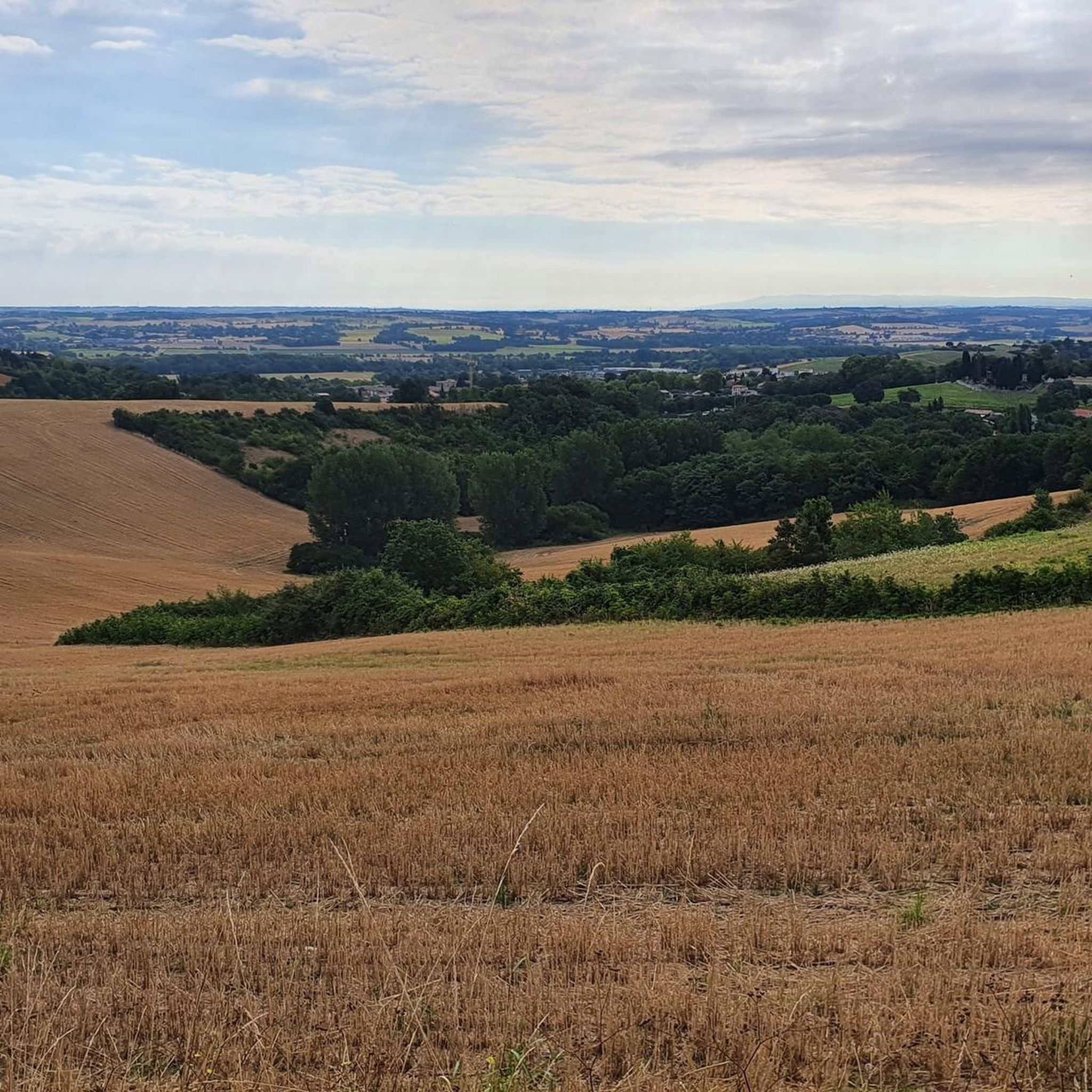
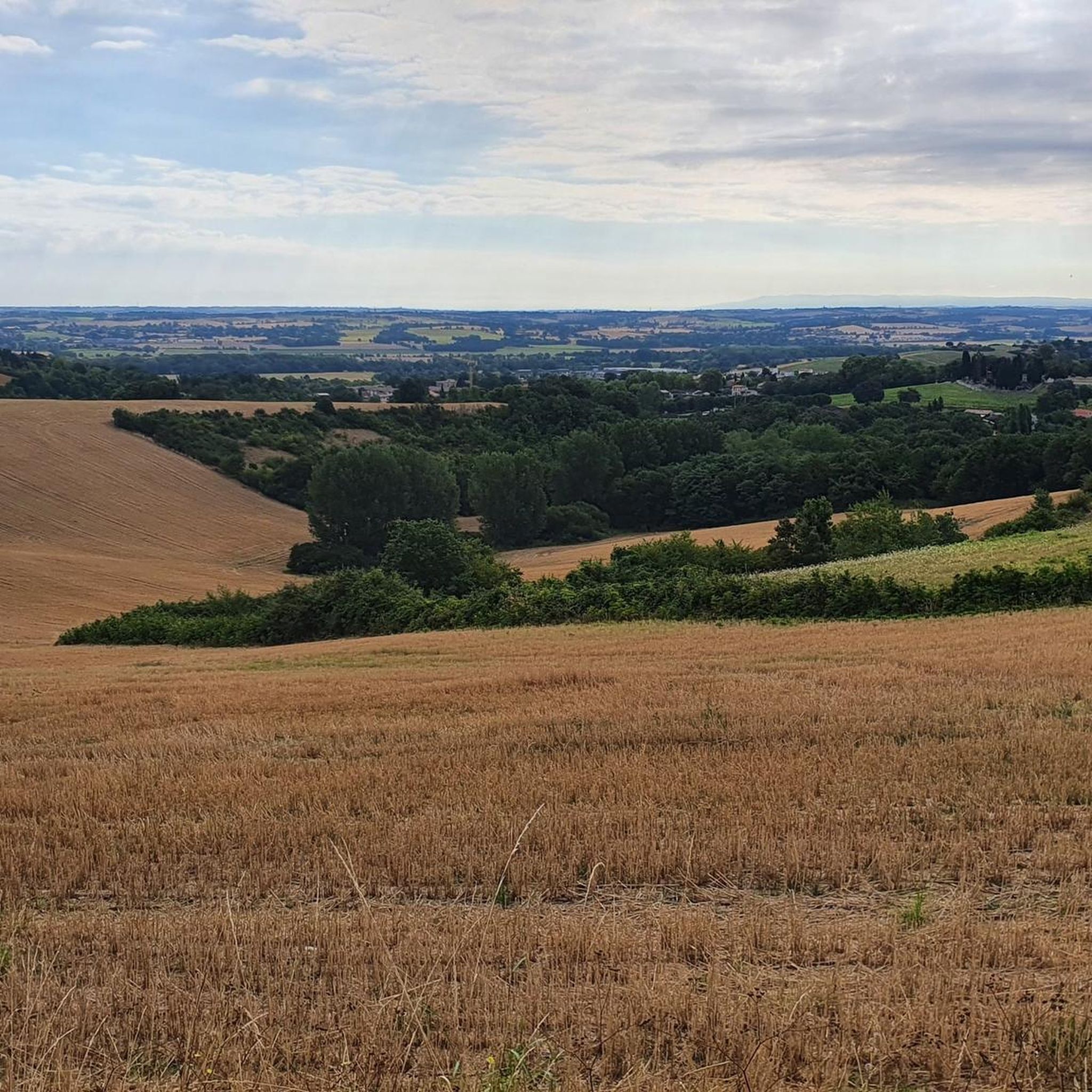
Hiking around Rebigue offers diverse landscapes within the Lauragais region, characterized by undulating terrain, green plains, and charming hills. The area features tranquil undergrowth and provides panoramic views of the Pyrenees mountain range from prominent viewpoints. Trails often pass by historical agricultural structures like ancient "bordes" and dovecotes, showcasing the region's heritage.
Best hiking trails around Rebigue
- The most popular hiking route is Rebigue orientation table – Rebigue Viewpoint loop from Mervilla, a 6.0 miles (9.7 km) trail that…
Last updated: July 4, 2026
4.7
(27)
103
hikers
9.67km
02:45
220m
220m
Moderate hike. Good fitness required. Easily-accessible paths. Suitable for all skill levels.
4.6
(5)
35
hikers
14.6km
04:06
300m
300m
Moderate hike. Good fitness required. Easily-accessible paths. Suitable for all skill levels.

Sign up for free
4.4
(5)
18
hikers
8.20km
02:17
150m
150m
Moderate hike. Good fitness required. Easily-accessible paths. Suitable for all skill levels.
4.2
(6)
39
hikers
6.29km
01:45
120m
120m
Easy hike. Great for any fitness level. Easily-accessible paths. Suitable for all skill levels.
3.9
(8)
25
hikers
6.86km
01:55
130m
130m
Easy hike. Great for any fitness level. Easily-accessible paths. Suitable for all skill levels.
Get access to more routes and recommendations from other explorers.
Sign up for free
Already have an account?
Our route recommendations are based on thousands of hikes, rides, and runs completed by other people on komoot.
Start today with a free account
Your next adventure awaits.
Login or Signup


Tips from the Community


Its five-bell wall contains four bells from the Toulouse-based founder Louison (1st floor, 2nd south floor, and 3rd floor). The two bells on the first floor are very special because Master Founder Jean-Louis Louison designed the design to optimize the rotating peal and the sound. I heard them ring at noon, and the sound is magnificent 🤩
0
0

The Saint-Jean-Baptiste church contains the funerary slab of the Fieubet family, classified as a Historic Monument. It is located right next to the town hall.
0
0

This windmill-tower, located in the heart of the village, is a 17th century building (1680) made of Toulouse bricks. Restored in 2002, it is in working order
0
0

Beautiful view of the church of Montbrun Lauragais a few hundred meters from the mill
0
0

Frequently Asked Questions
How many hiking trails are available around Rebigue?
There are nearly 300 hiking routes available around Rebigue, offering a wide variety of options for different skill levels and preferences. You'll find everything from easy strolls to more challenging treks.
What kind of terrain can I expect on hikes in Rebigue?
Hiking in Rebigue features the undulating terrain of the Lauragais region, characterized by green plains, tranquil undergrowth, and charming hills. Many paths offer panoramic views, including distant glimpses of the majestic Pyrenees on clear days. You'll also encounter ancient 'bordes' (traditional farm buildings) and dovecotes along the paths, showcasing the region's agricultural heritage.
Are there any easy or family-friendly hiking routes in Rebigue?
Yes, Rebigue offers over 130 easy routes suitable for families and beginners. A popular easy option is the Rebigue orientation table loop from Rebigue, a 6.3 km trail that takes about 1 hour 45 minutes. This route leads through green plains and past the Fount Grando fountain.
What are some notable natural attractions or landmarks to see while hiking in Rebigue?
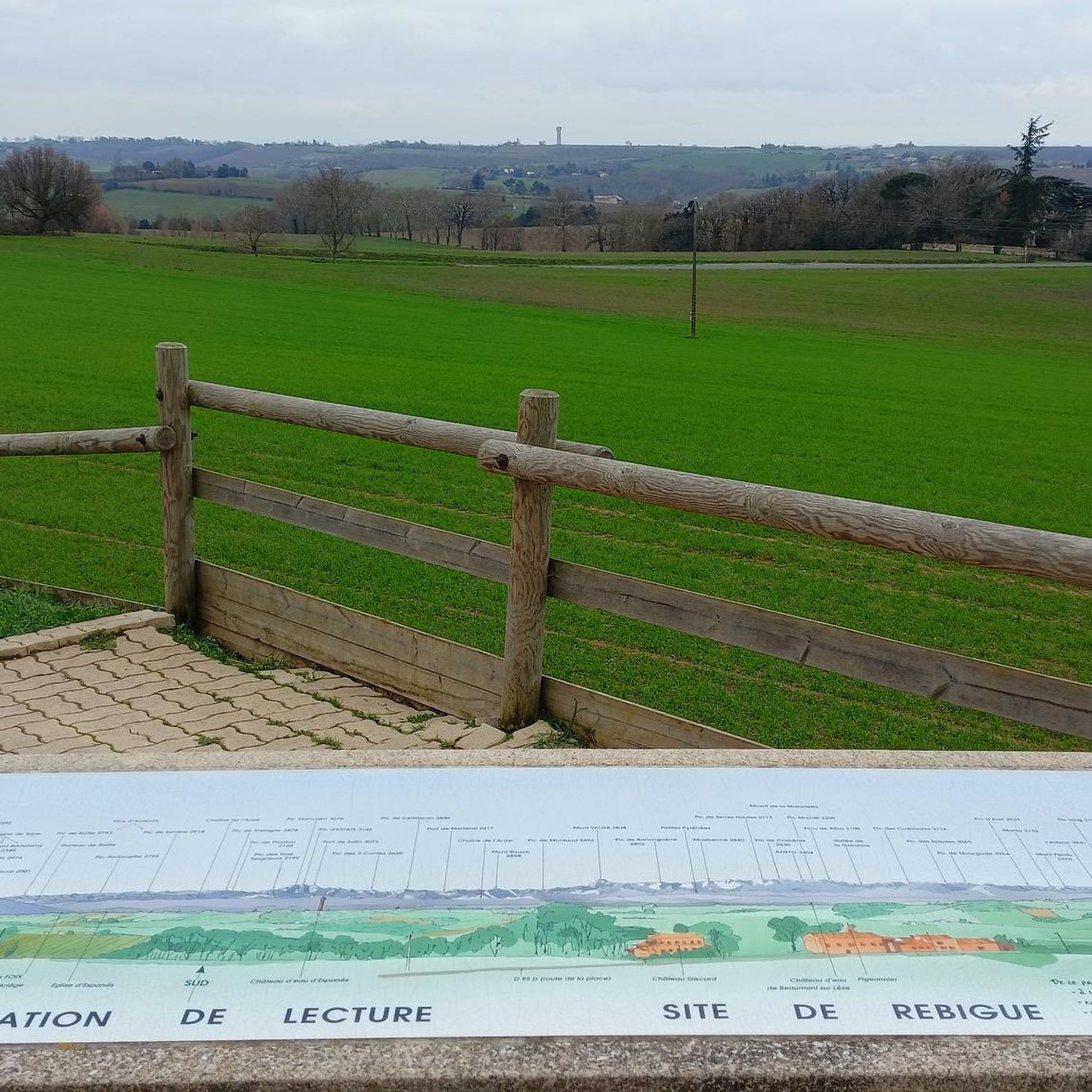
While hiking, you can visit the 'table d'orientation de Rebigue' for magnificent panoramic views of the Pyrenees. The Fount Grando fountain is also a significant natural feature along local trails. Additionally, the area is traversed by the historic Chemin de Saint-Jacques de Compostelle (GR®653 route). You might also encounter traditional 'bordes' and dovecotes.
What do other hikers enjoy most about hiking in Rebigue?
The area is highly rated by the komoot community, with an average score of 4.6 stars from over 500 reviews. Reviewers often praise the diverse landscapes, the stunning panoramic views of the Pyrenees, and the well-maintained paths that showcase the region's natural beauty and historical charm.
Are there any circular hiking routes in Rebigue?
Many routes in Rebigue are circular. For example, the Rebigue orientation table – Rebigue Viewpoint loop from Mervilla is a moderate 9.7 km circular trail offering expansive views. Another option is the Rebigue Viewpoint – Rebigue orientation table loop from Rebigue, a 10.4 km moderate path with varied scenery.
What is the best time of year to go hiking in Rebigue?
The Lauragais region, where Rebigue is located, generally offers pleasant hiking conditions during spring and autumn, when temperatures are mild and the landscape is vibrant. Summer can be warm, but early mornings or late afternoons are still enjoyable. Winter hiking is possible, but conditions may vary, so it's always best to check local forecasts.
Are dogs allowed on the hiking trails in Rebigue?
While specific regulations can vary by trail, generally, dogs are welcome on many hiking trails in the Rebigue area. It's always recommended to keep them on a leash, especially when passing through agricultural areas or near livestock, and to clean up after them.
Are there any places to eat or drink near the hiking trails in Rebigue?
Rebigue and its surrounding villages offer local amenities where you can find cafes or restaurants. While specific establishments directly on trails are rare, you can often find options in the village centers before or after your hike.
Is public transport available to reach hiking trailheads in Rebigue?
Public transport options to specific trailheads in Rebigue might be limited. It's advisable to check local bus schedules or consider driving, as many routes are more easily accessible by car. Parking is generally available near village centers or designated starting points for popular trails.
What are some other interesting places to explore near Rebigue?
Beyond Rebigue itself, the broader area offers attractions such as the Castanet Lock and the Brick Bridge on the Canal du Midi at Pompertuzat. You can also explore sections of the Canal du Midi Pathway, which is just a few kilometers away and offers pleasant walking opportunities.
How long do hikes around Rebigue typically take?
Hikes around Rebigue vary in duration depending on the route and your pace. Easy trails, like the 6.3 km Rebigue orientation table loop, can take around 1 hour 45 minutes. Moderate routes, such as the 10.4 km Rebigue Viewpoint – Rebigue orientation table loop, typically take about 2 hours 57 minutes.
Most popular attractions around Rebigue

Get inspired with the komoot mobile app


Explore more
Browse the best Hikes in other regions.
