The best walks and hikes around Pougues-Les-Eaux
4.5
(90)
722
hikers
144
hikes
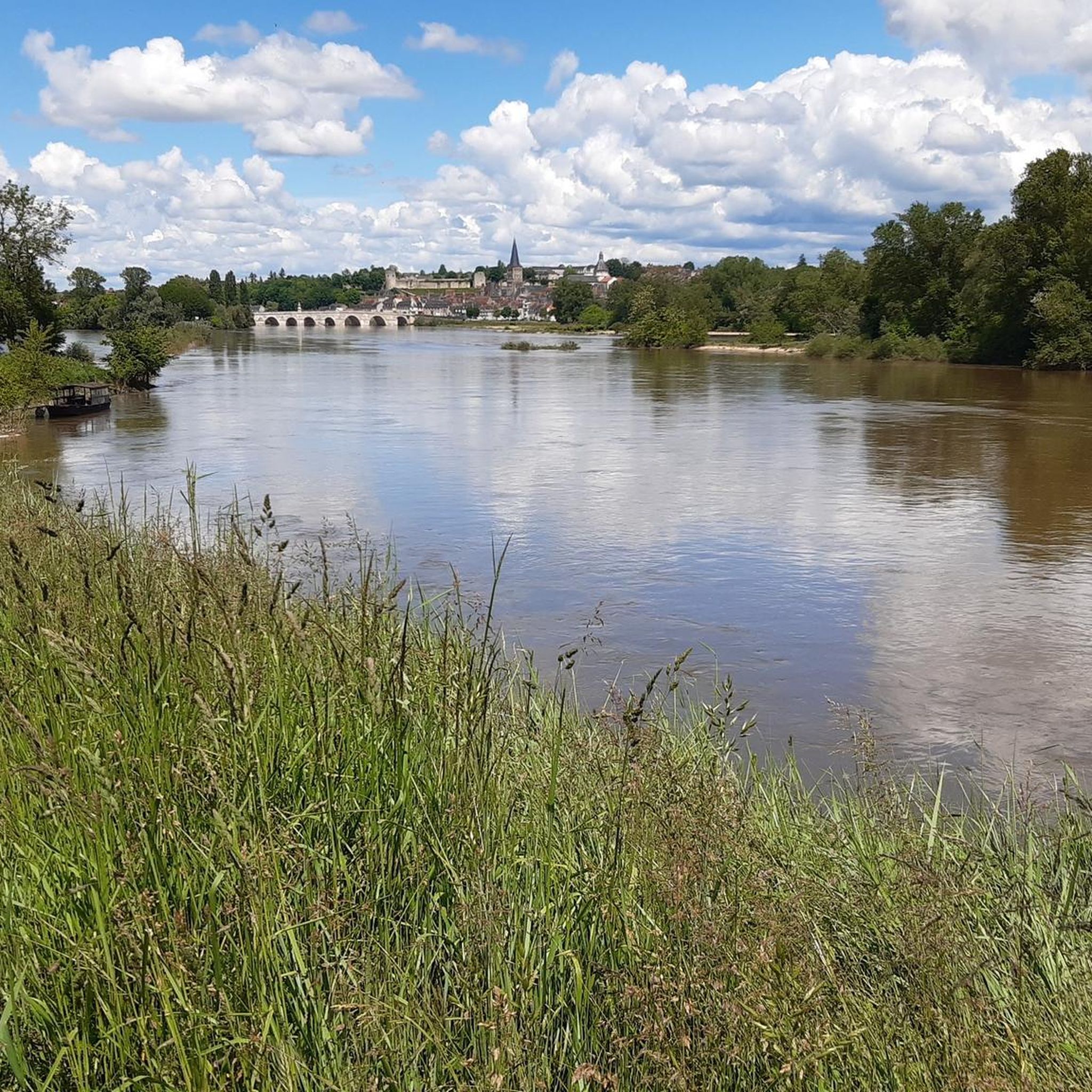
Hiking around Pougues-Les-Eaux offers diverse landscapes, characterized by a mix of plains and hills. The commune's elevation ranges from 169m to 293m, providing varied topography. It is situated near the Loire River and borders the Bertranges forest, featuring well-maintained trails through green spaces. Elevated sites like Bellevue offer scenic viewpoints.
Best hiking trails around Pougues-Les-Eaux
- The most popular hiking route is Champvoux Church – Tigran Chapel loop from Chaulgnes, a 10.7 miles (17.2 km) moderate trail that takes 4 hours 39 minutes to complete, offering varied terrain through the countryside.
- Another top favourite among local hikers is Town Hall of Pougues-les-Eaux loop from Pougues-les-Eaux, an easy 2.6 miles (4.1 km) path, ideal for a leisurely stroll through the town's green spaces.
- Local hikers also love the Charcoal factory... loop from Place Jean Roche, a 7.8 miles (12.6 km) trail leading through forested areas, often completed in about 3 hours 19 minutes.
- Hiking around Pougues-Les-Eaux is defined by plains, hills, and proximity to the Bertranges forest and Loire River. The network offers options for different ability levels, from easy walks to moderate hikes.
- The routes in Pougues-Les-Eaux are highly rated by the komoot community with an average score of 4.5 stars from over 70 reviews. More than 500 hikers have used komoot to explore Pougues-Les-Eaux's varied terrain.
Last updated: July 6, 2026
4.6
(5)
13
hikers
17.2km
04:39
230m
230m
Moderate hike. Good fitness required. Easily-accessible paths. Suitable for all skill levels.
7
hikers
4.14km
01:04
30m
30m
Easy hike. Great for any fitness level. Easily-accessible paths. Suitable for all skill levels.

Sign up for free
3
hikers
12.6km
03:20
110m
110m
Moderate hike. Good fitness required. Easily-accessible paths. Suitable for all skill levels.
3
hikers
14.2km
03:43
110m
110m
Moderate hike. Good fitness required. Easily-accessible paths. Suitable for all skill levels.
3
hikers
3.39km
00:54
30m
30m
Easy hike. Great for any fitness level. Easily-accessible paths. Suitable for all skill levels.
Get access to more routes and recommendations from other explorers.
Sign up for free
Already have an account?
Our route recommendations are based on thousands of hikes, rides, and runs completed by other people on komoot.
Start today with a free account
Your next adventure awaits.
Login or Signup


Tips from the Community

pleasant village. large playground.
0
0

beautiful descent to get there, then a nice little stream, majestic tree, memorial stele, rest area
0
0

accessible by car. Very good meeting point to sit down and have a picnic...
0
0
Located at the end of a forest path, the roundabout is accessible by car and to people with reduced mobility. There are tables and trash cans. There is enough space for everyone.
0
0
Frequently Asked Questions
How many hiking trails are available around Pougues-les-Eaux?
There are over 130 hiking trails around Pougues-les-Eaux, offering a wide range of options for all skill levels. This includes approximately 70 easy routes, 60 moderate routes, and a few challenging trails for experienced hikers.
What kind of terrain can I expect on hikes in Pougues-les-Eaux?
The terrain around Pougues-les-Eaux is quite varied, featuring a mix of gentle plains, rolling hills, and forested areas. You'll find paths through verdant green spaces, along the Loire River, and within the Bertranges forest, providing diverse landscapes for exploration.
Are there any easy, family-friendly walks in Pougues-les-Eaux?
Yes, Pougues-les-Eaux offers many easy walks suitable for families. A great option is the Town Hall of Pougues-les-Eaux loop from Pougues-les-Eaux, an easy 4.1 km path perfect for a leisurely stroll through the town's green spaces and parks. Another gentle route is the Coteau de Chaumois loop from Parigny-les-Vaux, which is about 3.4 km.
Where can I find scenic viewpoints or panoramic views on a hike?
For magnificent panoramic views, head to the Bellevue Site. This elevated area offers an interpretive trail and, on a clear day, you might even spot the spire of Bourges Cathedral. The main path to the summit winds upwards in a zigzag pattern, providing several spots to pause and enjoy the scenery.
Are there any circular hiking routes in the area?
Yes, many of the trails around Pougues-les-Eaux are circular. For example, the moderate Champvoux Church – Tigran Chapel loop from Chaulgnes is a 17.2 km route that takes you through varied countryside. Another popular circular option is the Charcoal factory... loop from Place Jean Roche, a 12.6 km trail through forested areas.
What are some interesting natural features or landmarks to see while hiking?
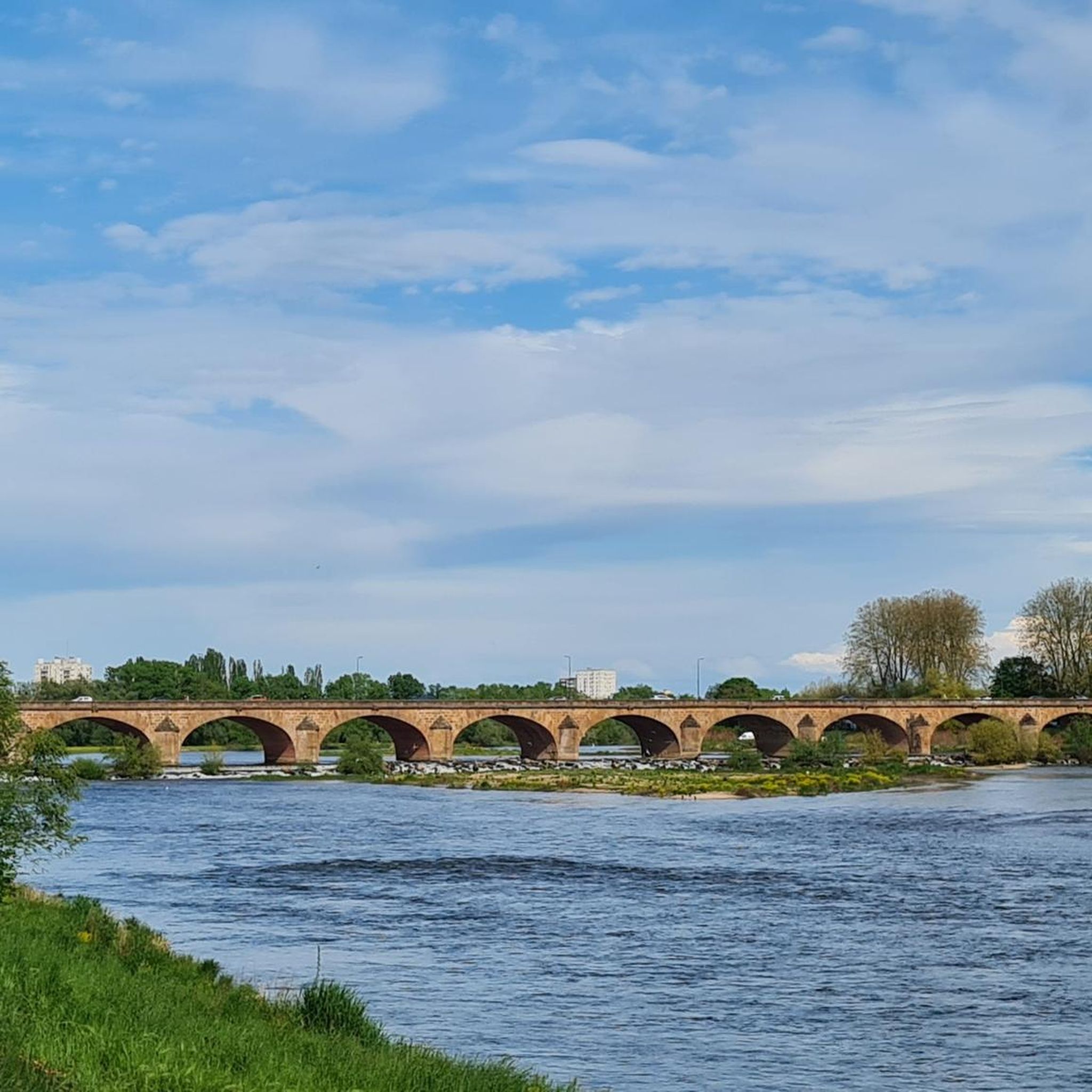
Beyond the diverse landscapes, you can explore the historical thermal springs area, particularly the Parc Thermal (now Parc Saint-Léger), which offers pleasant shaded alleys. The Bellevue Site also features an interpretive trail highlighting local flora and fauna. Additionally, the region's proximity to the Loire River means you might encounter highlights like the Loire Bridge or sections of the Cycle path along the Loire.
What do other hikers say about the trails in Pougues-les-Eaux?
The hiking trails in Pougues-les-Eaux are highly regarded by the komoot community, with an average rating of 4.5 out of 5 stars from over 70 reviews. Hikers often praise the well-maintained paths, the peaceful atmosphere, and the variety of landscapes, from riverbanks to forest trails and scenic viewpoints.
Can I bring my dog on the hiking trails in Pougues-les-Eaux?
Generally, dogs are welcome on many hiking trails in France, especially in natural areas. However, it's always advisable to keep your dog on a leash, particularly in protected areas, near livestock, or during nesting seasons for local wildlife. Check local signage for specific regulations on individual trails or parks.
Are there any challenging hikes for experienced trekkers?
While most routes are easy to moderate, there are a couple of more challenging trails available for those seeking a greater test. These routes typically feature more significant elevation changes and longer distances, taking advantage of the hilly terrain north and east of Pougues-les-Eaux. You can filter for 'difficult' routes on komoot to find these specific options.
What is the best time of year to go hiking in Pougues-les-Eaux?
Pougues-les-Eaux offers pleasant hiking conditions throughout much of the year. Spring and autumn provide mild temperatures and beautiful scenery, with blooming flora or vibrant fall colors. Summer is also suitable, especially for shaded forest trails or early morning/late afternoon walks to avoid the midday heat. Winter hikes are possible, though some paths might be muddy.
Are there places to park near the trailheads?
Yes, parking is generally available near popular trailheads and in the town center of Pougues-les-Eaux. For specific routes, it's recommended to check the tour details on komoot, as many tours provide information on starting points and nearby parking facilities.
Can I access hiking trails using public transport?
Pougues-les-Eaux has local public transport options that can help you reach various parts of the commune. While direct access to every trailhead might not be available, you can often use local buses to get close to starting points, especially for trails beginning within or near the town. Planning your route in advance with local transport schedules is recommended.
Most popular routes around Pougues-Les-Eaux
Most popular attractions around Pougues-Les-Eaux

Get inspired with the komoot mobile app


Explore more
Browse the best Hikes in other regions.
