The best running trails around Baziège
4.5
(124)
4,698
runners
12
runs
Jogging around Baziège offers a diverse landscape for runners, characterized by the flat and scenic pathways of the Canal du Midi and the undulating hills of the Lauragais region. This area provides varied terrain, from gentle riverside routes along the Hers valley to more challenging ascents with panoramic views. The region's natural features include open plains, distant views of the Montagne Noire, and on clear days, the Pyrenees mountain range.
Best jogging routes around Baziège
- The most popular jogging route…
Last updated: October 19, 2026
83
runners
6.96km
00:48
100m
100m
Moderate run. Good fitness required. Mostly paved surfaces. Suitable for all skill levels.
43
runners
21.8km
02:31
290m
290m
Hard run. Very good fitness required. Mostly paved surfaces. Suitable for all skill levels.

41
runners
17.2km
01:47
60m
60m
Hard run. Very good fitness required. Mostly paved surfaces. Suitable for all skill levels.
4.0
(1)
35
runners
12.0km
01:24
140m
140m
Moderate run. Good fitness required. Mostly paved surfaces. Suitable for all skill levels.
87
runners
8.30km
00:58
140m
140m
Moderate run. Good fitness required. Mostly paved surfaces. Suitable for all skill levels.
Get access to more routes and recommendations from other explorers.
Already have an account?
Our route recommendations are based on thousands of hikes, rides, and runs completed by other people on komoot.
Start today with a free account
Your next adventure awaits.

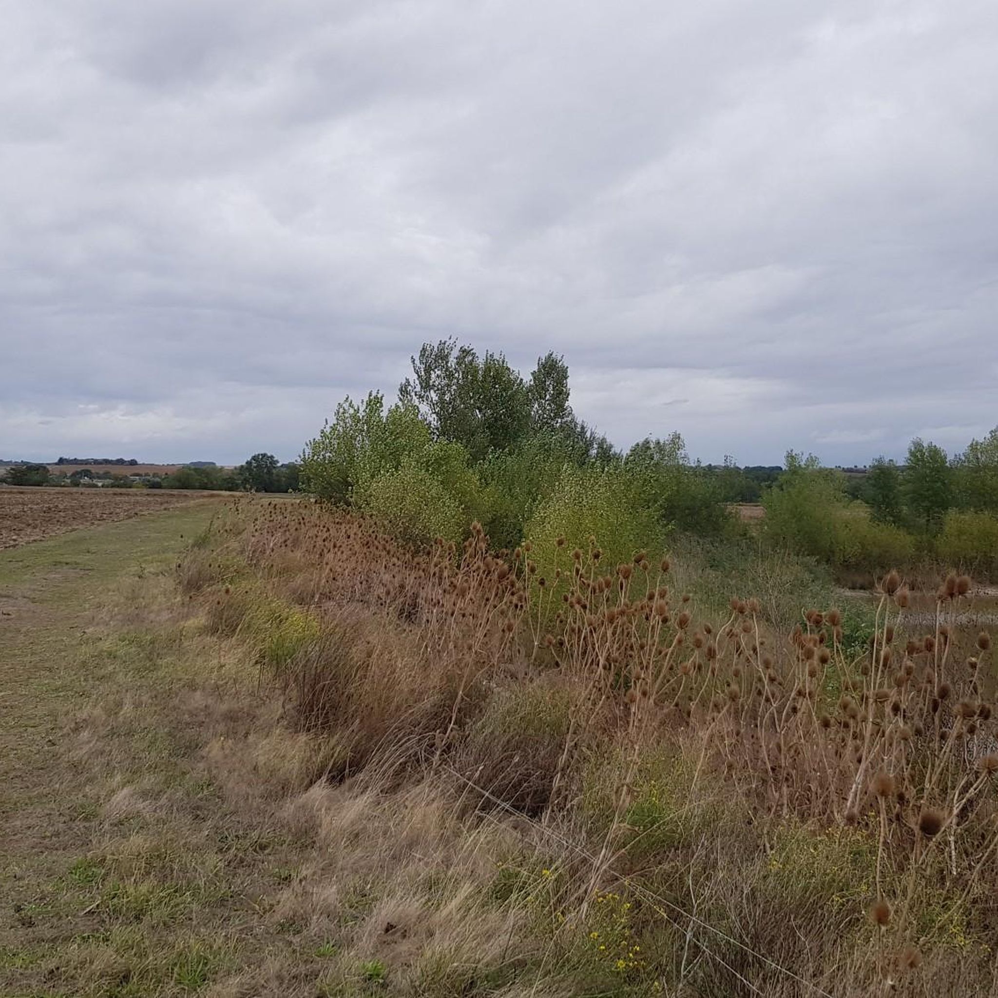
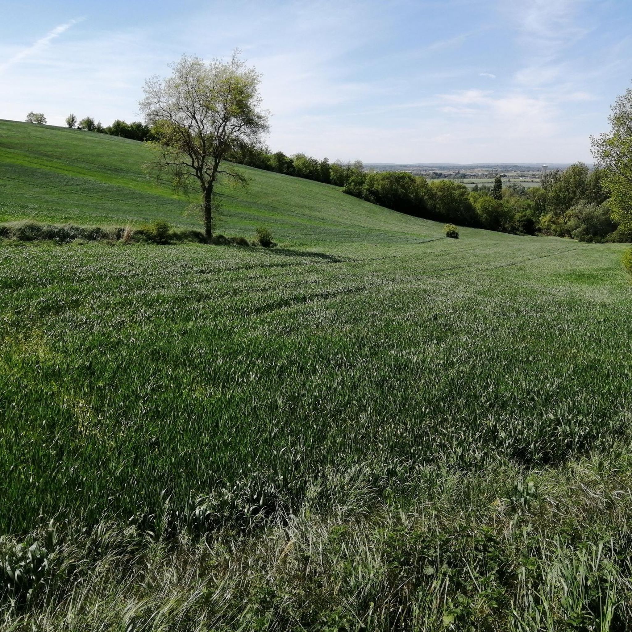

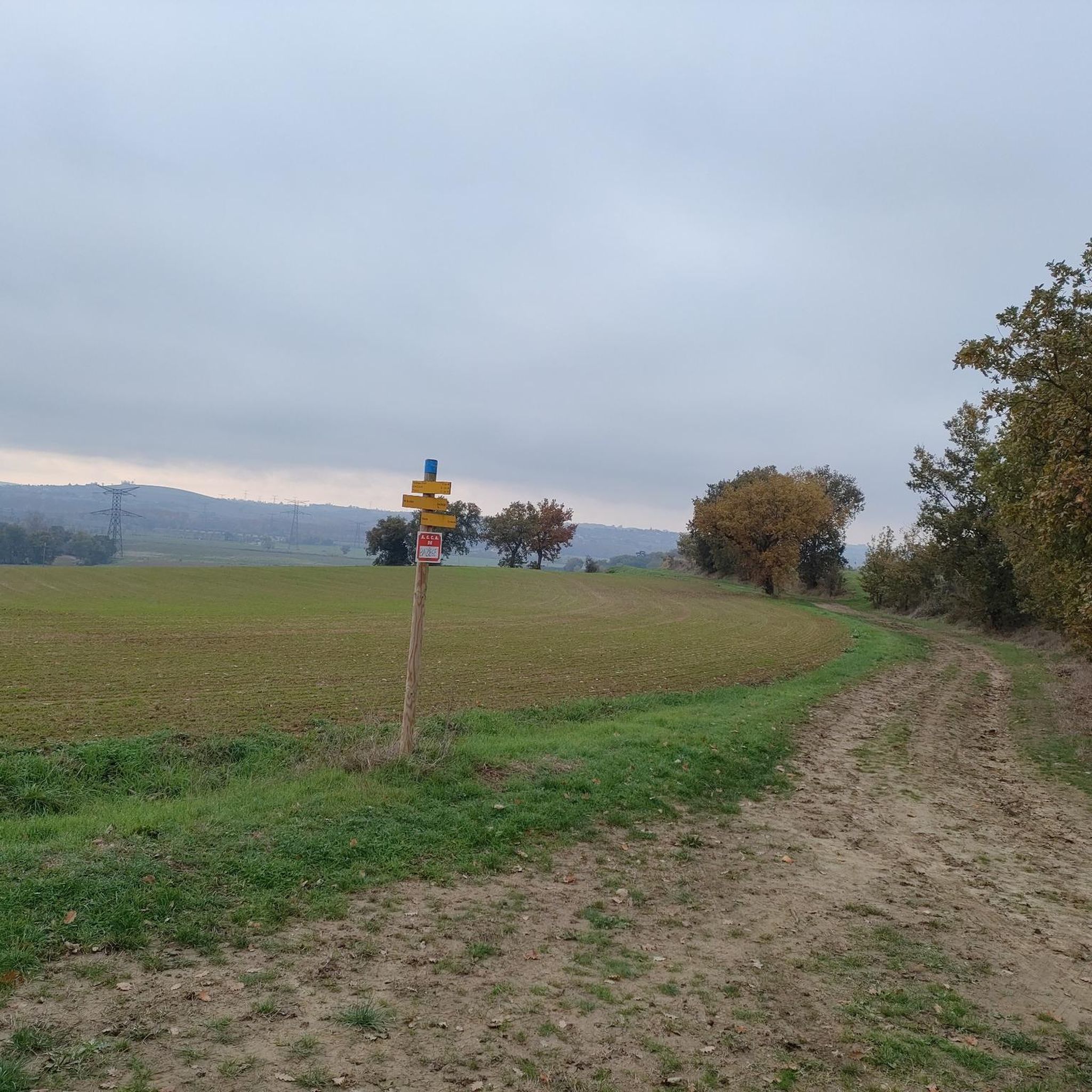
Tips from the Community

The Canal du Midi, formerly the Royal Canal, is a 17th-century technical feat designed by Pierre-Paul Riquet to connect the Atlantic to the Mediterranean. Today, it is above all a place for relaxation and discovery, where heritage, nature, and conviviality blend together.
0
0
The Donneville bridge appears on the 1808 Napoleonic cadastre map. It is part of the bridges built during Riquet's time. However, it was destroyed on April 12, 1814 by Marshal Soult during the battle of Toulouse. Indeed, driven out of Spain, the French soldiers retreated to Toulouse to resist better, but the hostility of the predominantly royalist population forced them to fall back to Castelnaudary. Marshal Soult, anxious to keep his army intact while retreating south of the Canal du Midi, protected his retreat and blew up the bridges, including the one at Donneville. In 1821, the bridge was rebuilt identically.
0
0
As you can imagine, the lock owes its name to a wild boar. The story goes that in 1669, masons working on the construction site of the Canal du Midi slaughtered a huge wild boar trapped in the lock chamber of the lock under construction. Pierre-Paul Riquet passed by the construction site that same day, bought the wild boar and had it transported to Pézenas. He also took the opportunity to offer a banquet to some of his friends who were sitting in the States of Languedoc gathered in that city.
0
0

This bridge is one of those built by Paul Riquet, using beautiful red Toulouse bricks. The Donneville bridge appears on the Napoleonic land registry map of 1808.
1
0

This lock is one of many along the Canal du Midi
2
1
Building used for overnight accommodation of pilgrims
2
0

Pleasant trails along the canal regularly sheltered under a natural tunnel of leaves.
1
0

On one bank, the cycle path, on the other, the path. We swallow the kilometers with pleasure and from time to time we cross some pretty barges.
1
0
Frequently Asked Questions
How many running routes are available around Baziège?
There are over 10 running routes available around Baziège, offering a variety of distances and difficulty levels. The komoot community has explored 13 different routes in the area.
What kind of terrain can I expect when running in Baziège?
Baziège offers a diverse running landscape. You'll find flat and scenic pathways along the historic Canal du Midi, perfect for relaxed jogs. Additionally, the undulating hills of the Lauragais region provide more challenging terrain with moderate ascents and panoramic views of the plains, Montagne Noire, and even the Pyrenees on clear days.
Are there running routes suitable for beginners in Baziège?
Yes, Baziège has routes suitable for beginners. For example, the Roman Bridge 🧱 loop from Baziège is an easy 3.1-mile (5.0 km) trail with gentle terrain, often completed in about 30 minutes.
What interesting sights or landmarks can I see while jogging in Baziège?
While running in Baziège, you can encounter several interesting landmarks. Along the Canal du Midi, you might pass the historic Castanet Lock or the Hers Crossing. The region also features the Brick Bridge on the Canal du Midi at Pompertuzat and the Moulin de Montbrun-Lauragais. The Canal du Midi Pathway itself is a UNESCO World Heritage Site offering scenic views.
Are there dog-friendly running trails in Baziège?
Many of the natural trails and pathways around Baziège, especially those along the Canal du Midi and through the countryside, are generally dog-friendly. However, it's always recommended to keep your dog on a leash and be mindful of local regulations and other trail users.
Can I find circular running routes in Baziège?
Yes, many of the running routes in Baziège are circular, allowing you to start and finish at the same point. Examples include the popular Wallabies Enclosure loop from Baziège and the Sanglier Lock loop from Baziège.
What do other runners say about the trails in Baziège?
The running routes in Baziège are highly rated by the komoot community, with an average score of 4.4 stars from over 100 reviews. More than 4,000 runners have used komoot to explore the varied terrain, often praising the scenic beauty and diverse options available.
Are there challenging running routes with elevation changes in Baziège?
Yes, for those seeking a challenge, Baziège offers routes with moderate elevation changes, particularly in the undulating hills of the Lauragais region. While most routes are moderate, there are a couple of more difficult options available for experienced trail runners.
What is the best time of year for running in Baziège?
The spring and autumn months are generally ideal for running in Baziège, offering pleasant temperatures and beautiful scenery. Summer can be warm, especially midday, so early morning or late evening runs are preferable. Winter runs are also possible, though some trails might be muddy after rain.
Are there any long-distance running options near Baziège?
While individual routes vary, the extensive network of paths, including the Canal du Midi Pathway and greenways in the Hers valley, allows for combining sections to create longer running distances. The area also hosts the annual TBZ Trail de Baziège, which includes distances up to 21 km, indicating the potential for longer runs.
Where can I find parking for running routes in Baziège?
Parking is generally available in and around the commune of Baziège, particularly near popular starting points for trails. Specific parking details often accompany individual route descriptions on komoot, so it's advisable to check the route page for the most accurate information.
Are there running routes accessible by public transport in Baziège?
Baziège has some public transport connections, and many running routes are accessible from the town center. For specific routes, checking local bus schedules or train connections to Baziège and then reviewing the route's starting point will help determine accessibility.
Most popular attractions around Baziège

Get inspired with the komoot mobile app


Explore more
Browse the best Running Trails & Routes in other regions.
