The best walks and hikes around Saint-Michel
4.1
(25)
183
hikers
30
hikes
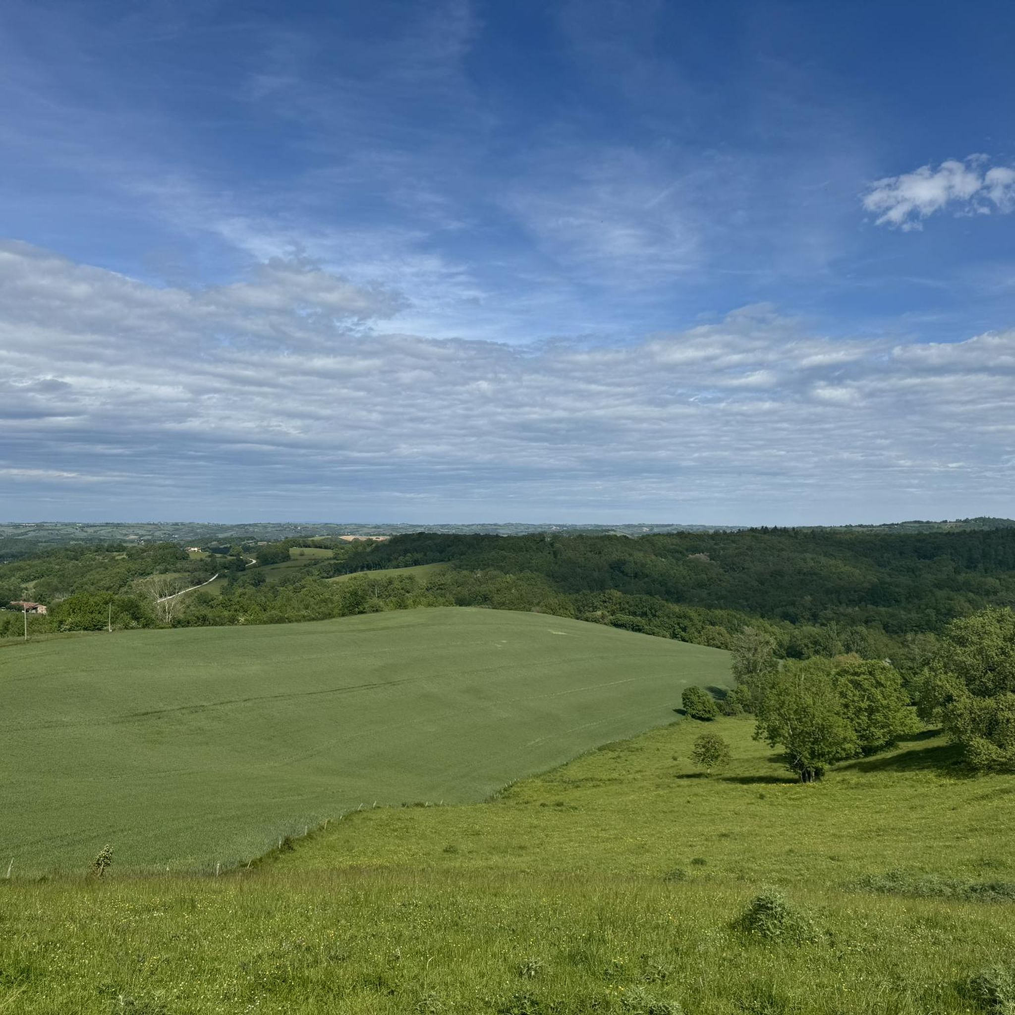
Hiking around Saint-Michel offers trails through a landscape characterized by rolling hills, agricultural fields, and scattered woodlands. The region provides a mix of open views and shaded paths, with routes often leading to local points of interest. Elevations are generally moderate, making the area accessible for various hiking abilities.
Best hiking trails around Saint-Michel
- The most popular hiking route is Table d'orientation – Château de Beauvoir loop from Cérizols, a 7.6 miles (12.2 km) trail that takes 3 hours…
Last updated: July 4, 2026
9
hikers
6.55km
01:53
170m
160m
Easy hike. Great for any fitness level. Easily-accessible paths. Suitable for all skill levels.
4.0
(2)
18
hikers
4.27km
01:11
80m
80m
Easy hike. Great for any fitness level. Easily-accessible paths. Suitable for all skill levels.

Sign up for free
5
hikers
10.1km
02:53
250m
250m
Moderate hike. Good fitness required. Easily-accessible paths. Suitable for all skill levels.
3.0
(1)
4
hikers
5.89km
01:48
190m
190m
Easy hike. Great for any fitness level. Easily-accessible paths. Suitable for all skill levels.
6
hikers
Moderate hike. Good fitness required. Easily-accessible paths. Suitable for all skill levels.
Get access to more routes and recommendations from other explorers.
Sign up for free
Already have an account?
Our route recommendations are based on thousands of hikes, rides, and runs completed by other people on komoot.
Start today with a free account
Your next adventure awaits.
Login or Signup
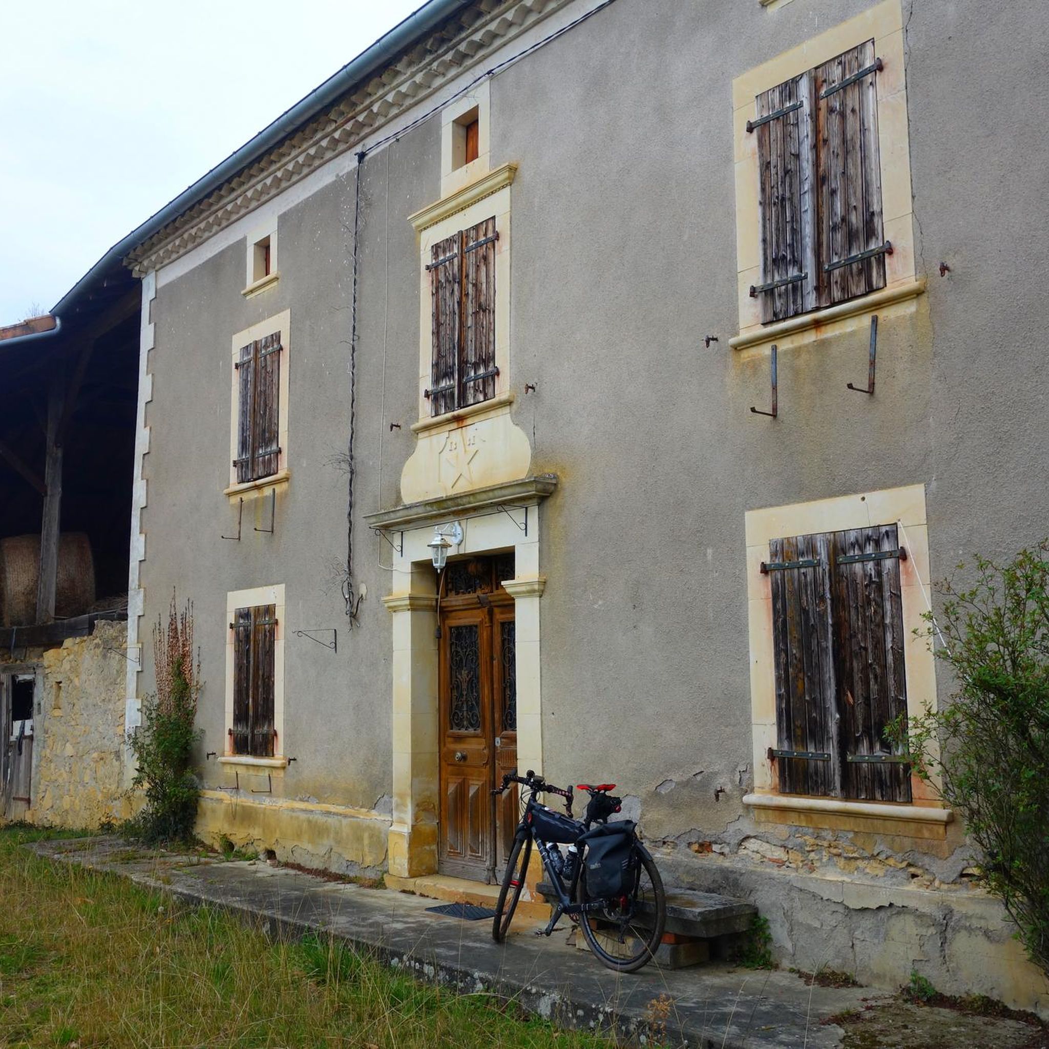
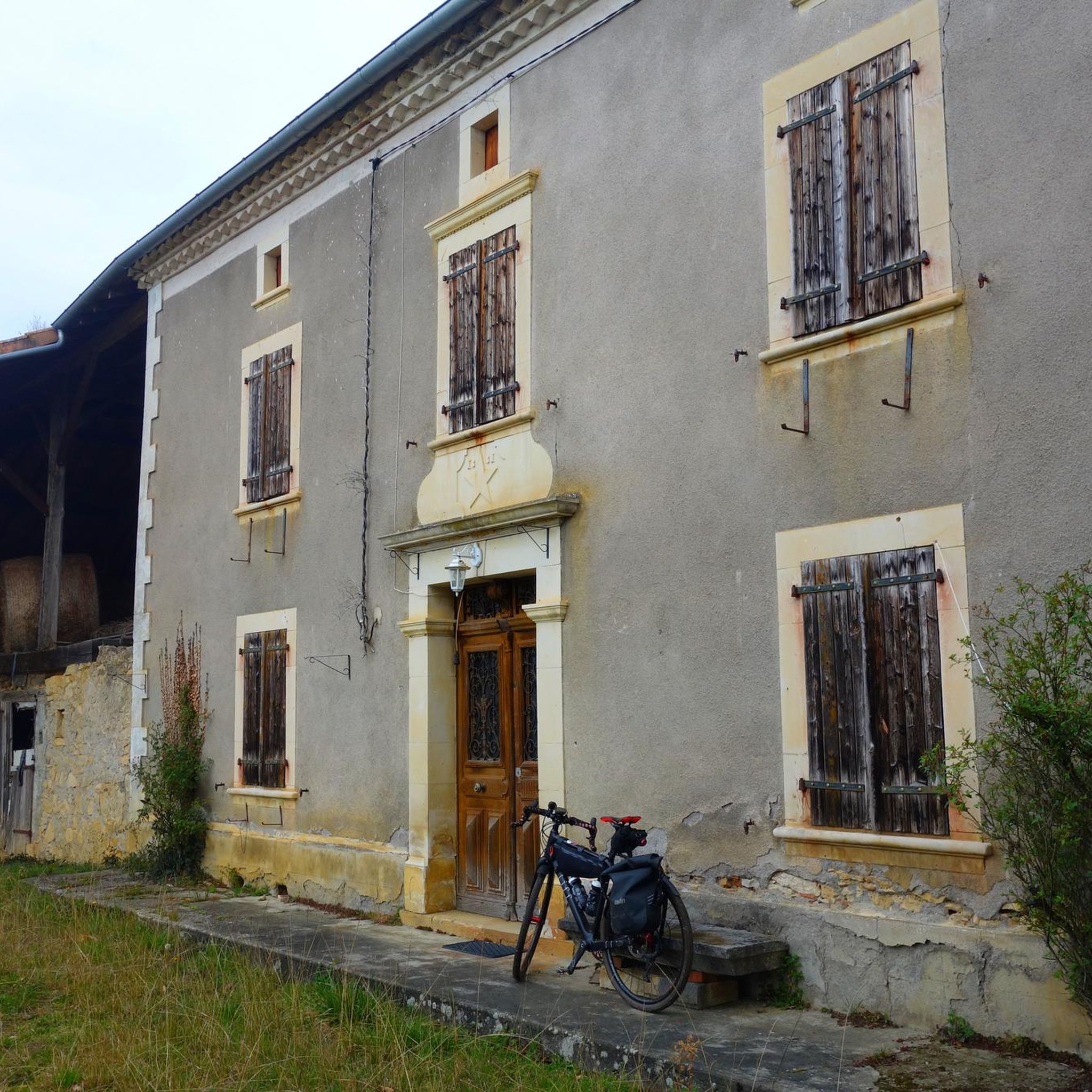

Tips from the Community


Sainte-Croix-Volvestre, set in the hilly landscape of Ariège, seduces with its medieval character and its tranquility. The 16th century church dominates the village. Local market, winding streets and surrounding nature make it a place of relaxation. Stroll along the Volp or near the lake!
0
0

Tourtouse is distinguished by its remarkable architectural heritage, including the Notre-Dame de l'Assomption church and its imposing bell tower keep, the former residence of the bishops of Couserans, as well as traces of fortifications and a castle. There is also a captivating cave. Despite the visit, no encounter was made with the hadas, these magical creatures of the Pyrenees known for taking up residence near the caves bordering the waterways, where they would wash their white clothes.
0
0
Frequently Asked Questions
How many hiking trails are available around Saint-Michel?
There are over 30 hiking trails available around Saint-Michel, offering a variety of options for different preferences and skill levels. The komoot community has explored these routes over 170 times.
What kind of terrain can I expect on hikes around Saint-Michel?
Hikes around Saint-Michel typically feature rolling hills, agricultural fields, and scattered woodlands. The terrain generally includes a mix of open views and shaded paths, with moderate elevations that make the area accessible for various hiking abilities.
Are there easy hiking options in Saint-Michel?
Yes, Saint-Michel offers many easy hiking options. For instance, the Sainte-Croix-Volvestre loop from Sainte-Croix-Volvestre is an easy 4.1-mile (6.6 km) path that provides a gentle walk through the local countryside. In total, there are 18 easy routes to choose from.
Can I find more challenging hikes around Saint-Michel?
While Saint-Michel is known for its moderate terrain, some routes offer more significant ascents. The Table d'orientation – Château de Beauvoir loop from Cérizols is a moderate 7.6-mile (12.2 km) trail with moderate ascents and scenic viewpoints, taking around 3 hours 28 minutes to complete. There are 16 moderate routes in the area.
Are there any circular hiking routes in Saint-Michel?
Yes, many of the trails around Saint-Michel are circular, allowing you to start and end at the same point. Popular examples include the Table d'orientation – Château de Beauvoir loop from Cérizols and the Table d'orientation loop from Belbèze-en-Comminges, both offering varied terrain and panoramic views.
What are some points of interest or landmarks to see while hiking in Saint-Michel?
While hiking around Saint-Michel, you can explore several local points of interest. Notable attractions include the historic Church of Our Lady of the Assumption in Cazères, the impressive Château de Palaminy, and the charming Fabas market square and church. These offer glimpses into the region's heritage and architecture.
Is Saint-Michel a good destination for family hikes?
Yes, Saint-Michel is suitable for family hikes, especially given its generally moderate elevations and numerous easy routes. Trails like the Sainte-Croix-Volvestre loop provide gentle walks through the countryside, perfect for families with children.
Are dogs allowed on the hiking trails in Saint-Michel?
While specific regulations can vary by individual trail or protected area, many trails in regions like Saint-Michel generally permit dogs, often requiring them to be on a leash. It's always best to check local signage or specific route details on komoot for the most accurate information regarding dog-friendly policies.
What do other hikers enjoy most about hiking in Saint-Michel?
The hiking experience in Saint-Michel is highly rated by the komoot community, with an average score of 3.8 stars from 17 reviews. Hikers often praise the region's varied terrain, which includes rolling hills, open fields, and occasional forest sections, providing a pleasant mix of scenery and accessibility for different ability levels.
What is the best time of year to hike in Saint-Michel?
Given the landscape of rolling hills and agricultural fields, Saint-Michel is generally pleasant for hiking during spring, summer, and autumn. Spring brings wildflowers and mild temperatures, while autumn offers beautiful foliage. Summer is also suitable, though it's advisable to hike earlier in the day to avoid the midday heat.
Are there options for public transport to reach trailheads in Saint-Michel?
Information on public transport directly to specific trailheads in Saint-Michel is not widely available. The region is characterized by smaller villages and rural landscapes, so accessing trailheads often requires personal transportation. It's recommended to plan your journey with a car for maximum flexibility.
Where can I find parking near the hiking trails in Saint-Michel?
Parking availability varies by trailhead. For many routes that start and end in villages or near points of interest, you can often find public parking spaces. For example, routes like the Sainte-Croix-Volvestre loop likely have parking available in or near the village of Sainte-Croix-Volvestre.
Most popular attractions around Saint-Michel

Get inspired with the komoot mobile app


Explore more
Browse the best Hikes in other regions.
