The best walks and hikes around La Vergenne
4.5
(67)
516
hikers
51
hikes
Hiking around La Vergenne offers access to a variety of natural areas and local points of interest within the Haute-Saône department. The region features a network of trails traversing woodlands, tranquil ponds, and open landscapes with gentle elevations. The Rognon stream also flows through the commune, adding to the natural scenery. This area provides opportunities for exploring varied terrain, from accessible forest paths to more extensive treks.
Best hiking trails around La Vergenne
- The most popular hiking route is Tacot…
Last updated: July 2, 2026
4.8
(5)
15
hikers
8.03km
01:41
60m
60m
Easy hike. Great for any fitness level. Easily-accessible paths. Suitable for all skill levels.
5.0
(2)
11
hikers
12.9km
03:22
90m
90m
Moderate hike. Good fitness required. Easily-accessible paths. Suitable for all skill levels.

Sign up for free
6
hikers
9.12km
02:22
50m
50m
Moderate hike. Good fitness required. Easily-accessible paths. Suitable for all skill levels.
4.5
(2)
5
hikers
5.52km
01:27
40m
40m
Easy hike. Great for any fitness level. Easily-accessible paths. Suitable for all skill levels.
2
hikers
4.50km
01:15
80m
80m
Easy hike. Great for any fitness level. Easily-accessible paths. Suitable for all skill levels.
Get access to more routes and recommendations from other explorers.
Sign up for free
Already have an account?
Our route recommendations are based on thousands of hikes, rides, and runs completed by other people on komoot.
Start today with a free account
Your next adventure awaits.
Login or Signup
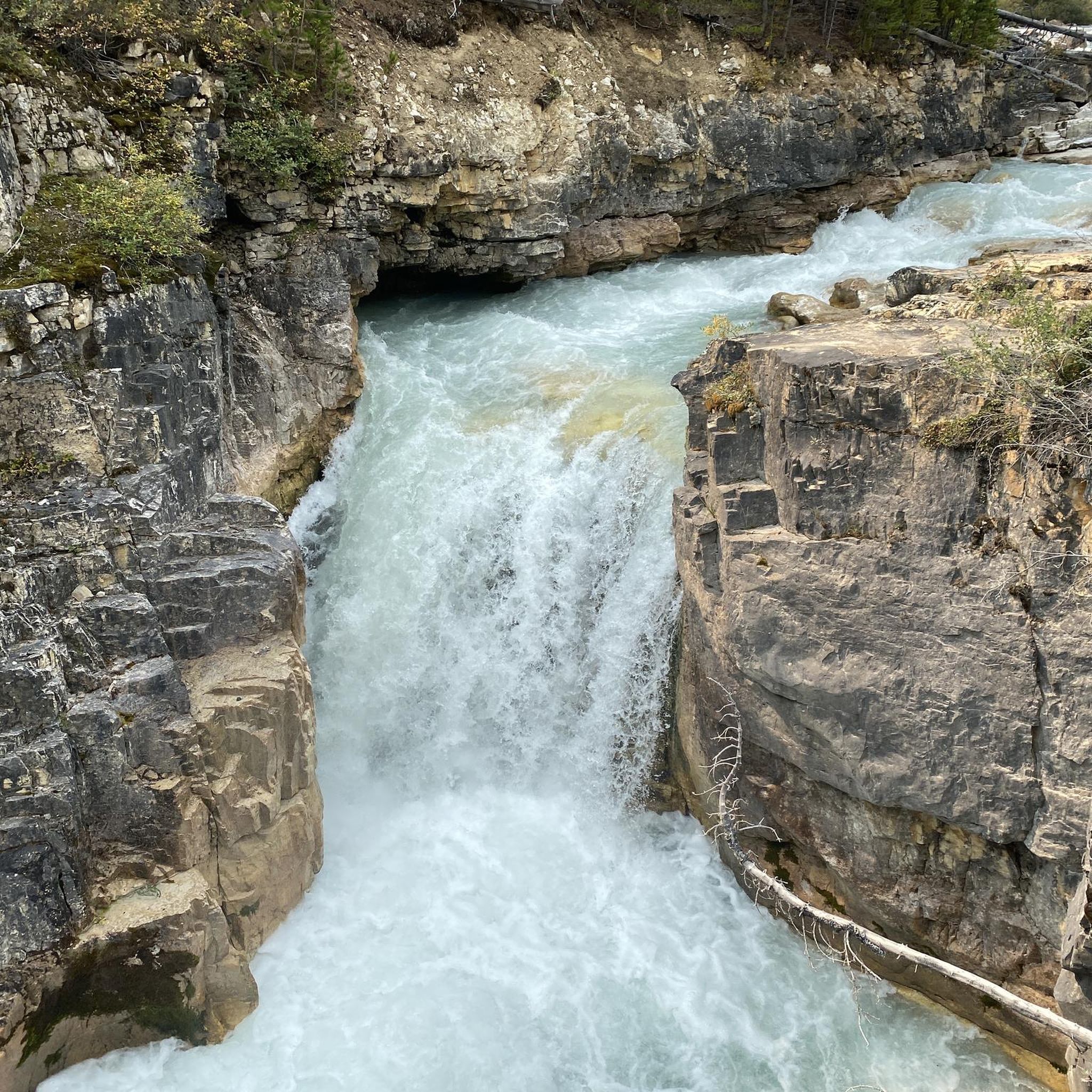
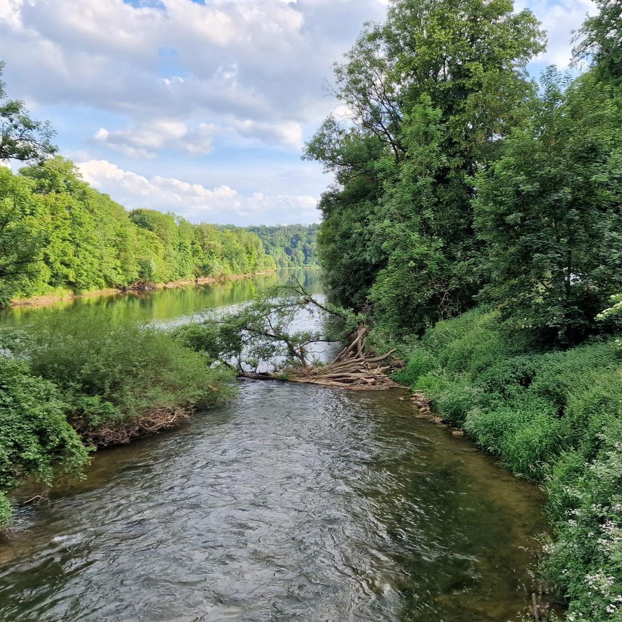
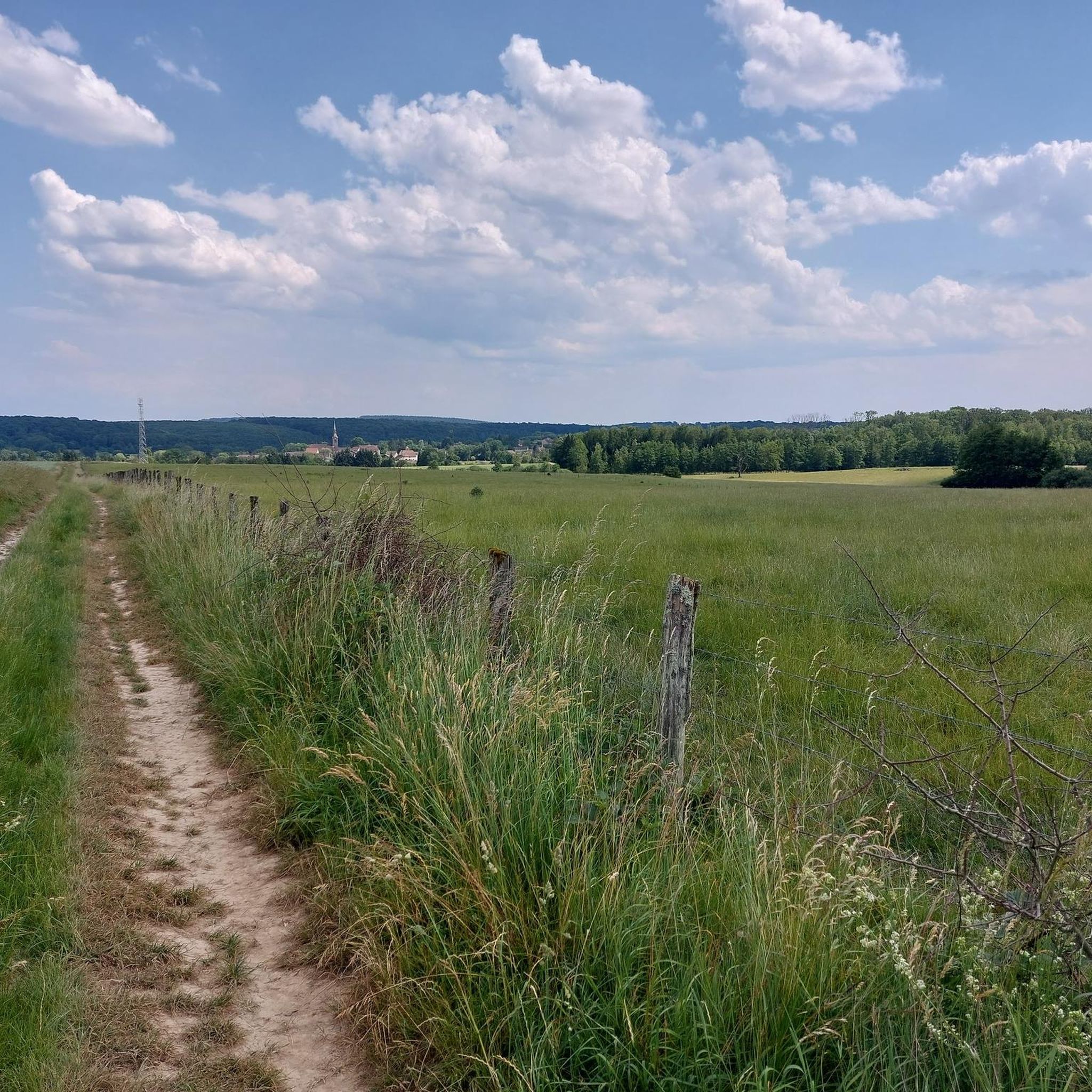


Tips from the Community

The Tacot route follows the former route of a secondary railway line that connected Troyes to Saint-Florentin. Commissioned at the beginning of the 20th century, it was used to transport passengers and rural goods. This section follows the Rognon River, through the middle of the forest.
1
0
La Vergenne is a former industrial estate linked to pottery, located near Athesans. It still boasts a 19th-century kiln, typical of the region, as well as several buildings related to production.
1
0
Athesans, a former pottery village, is characterized by this artisanal expertise. Kilns, traditional buildings, and remains related to ceramics production can still be found there.
1
0
The base of the Saline is a perfect leisure area for enjoying outdoor activities such as hiking, running or cycling. There are several picnic spots there. Swimming is prohibited.
2
0

On the leisure side, the Base has family facilities accessible all year round (beach volleyball, multisports, pétanque, fitness, table tennis, etc.). On the nautical side, choose your boat (canoe-kayak, paddle, fun-boat, etc.) to sail on the nautical pond.
2
0

Viewpoint allowing you to admire the foothills of the Vosges and N.-D.-du-Haut de Ronchamp. Orientation table.
0
0
The oldest parts of this castle date from the 15th century: portal, turret and vaulted cellars, the rest of the castle is a more recent reconstruction after the destruction by Swedish troops in 1636. Private property.
1
0

Friendly route on foot or by bike 🚴 to enjoy nature, swimming prohibited ⚠
2
0
Frequently Asked Questions
How many hiking trails are available in La Vergenne?
La Vergenne offers a diverse network of over 45 hiking trails. These routes vary in length and difficulty, providing options for different preferences and skill levels.
Are there easy hiking trails suitable for beginners or families in La Vergenne?
Yes, La Vergenne has a good selection of easy trails perfect for beginners or families. For example, the Tacot trail is an easy 5-mile (8 km) route that offers a straightforward path through the local environment. Another accessible option is the Saline Recreation Area loop from Communauté de communes du Pays de Lure, which is just under 2.5 miles (3.8 km) and features minimal elevation changes.
What kind of scenery can I expect on the hiking trails around La Vergenne?
The hiking trails in La Vergenne traverse a mix of woodlands, open fields, and gentle landscapes. Many routes also connect to local landmarks, offering varied scenery that combines natural beauty with historical and cultural points of interest.
Are there any interesting sights or landmarks I can see while hiking?
Absolutely. The region around La Vergenne is home to several notable attractions. You can explore historical sites like the Château de Villersexel, or enjoy natural spots such as the Bridge Over the Ognon and the Vouhenans hill, which offers scenic views. The Saline Recreation Area is also a pleasant place to visit.
Are there many circular hiking routes in La Vergenne?
Yes, many of the trails in La Vergenne are designed as circular routes, allowing you to start and end at the same point without retracing your steps. Examples include the Gouhenans Castle – La Planche Vellefaux loop from Villafans and the Saline Recreation Area loop from Communauté de communes du Pays de Lure.
What is the typical length and duration of hikes in La Vergenne?
Hikes in La Vergenne vary significantly. Easy trails like the Tacot trail are around 5 miles (8 km) and take about 1 hour 40 minutes. Moderate routes, such as the Gouhenans Castle – La Planche Vellefaux loop from Gouhenans, can be around 8.8 miles (14.2 km) and take nearly 4 hours to complete. There are options for shorter strolls and longer excursions.
When is the best time of year to go hiking in La Vergenne?
The region is generally pleasant for hiking from spring through autumn, when the weather is mild and the natural landscapes are vibrant. Summer offers longer daylight hours, while spring and autumn provide comfortable temperatures and beautiful foliage. Winter hiking is also possible, though some trails might be muddy or require appropriate gear depending on conditions.
What do other hikers say about the trails in La Vergenne?
The hiking trails in La Vergenne are highly regarded by the komoot community, with an average rating of 4.6 stars from over 50 reviews. Hikers often praise the varied terrain, the well-maintained paths, and the opportunities to explore both natural beauty and historical sites.
Are dogs allowed on the hiking trails in La Vergenne?
Generally, dogs are welcome on many of the hiking trails in La Vergenne, especially in natural areas. However, it's always recommended to keep them on a leash and to check for specific local regulations, particularly when passing through private land or nature reserves.
Is parking available at the trailheads in La Vergenne?
While specific parking information for every trailhead isn't detailed, many popular hiking areas and starting points in La Vergenne and surrounding villages typically offer designated parking spaces. It's advisable to check the route details on komoot for specific parking recommendations for your chosen trail.
Can I reach hiking trails in La Vergenne by public transport?
Public transport options in rural areas like La Vergenne can be limited. While some larger towns nearby might have bus services, direct access to all trailheads via public transport may not be feasible. Planning your route in advance and checking local transport schedules is recommended if you intend to rely on public transport.
What kind of gear or clothing should I wear for hiking in La Vergenne?
For hiking in La Vergenne, comfortable walking shoes or hiking boots are essential, especially for longer routes or varied terrain. Layered clothing is advisable to adapt to changing weather conditions, and it's always a good idea to carry water, snacks, and a map or GPS device. Depending on the season, rain gear or sun protection may also be necessary.
Most popular routes around La Vergenne
Most popular attractions around La Vergenne

Get inspired with the komoot mobile app


Explore more
Browse the best Hikes in other regions.
