The best walks and hikes around Argelliers
4.4
(2963)
22,957
hikers
358
hikes
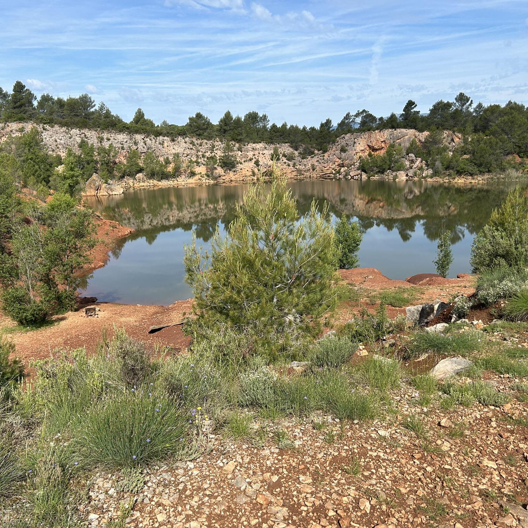
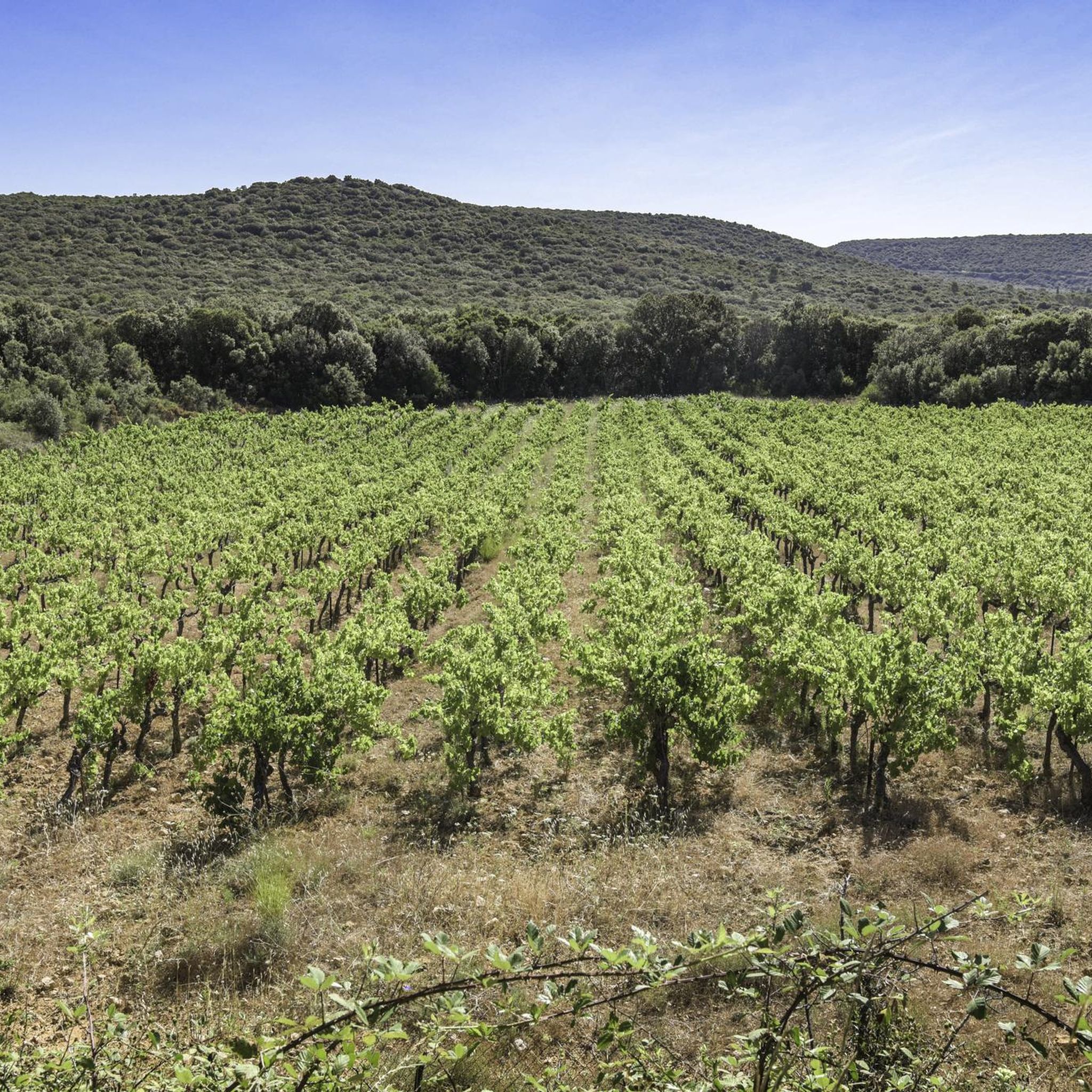
Hiking around Argelliers offers diverse landscapes, from the dramatic Gorges de l'Hérault to forested areas and open plateaus. The region is characterized by its Mediterranean climate, varied topography, and significant natural heritage, including two Natura 2000 sites. Hikers can explore a mix of garrigue, vineyards, and river valleys, with elevations ranging from gentle slopes to more pronounced hills.
Best hiking trails around Argelliers
- The most popular hiking route is Dolmen of Mas Reynard A – View of Mont Saint-Baudille loop…
Last updated: October 12, 2026
3.9
(14)
75
hikers
14.2km
04:09
370m
370m
Moderate hike. Good fitness required. Easily-accessible paths. Suitable for all skill levels.
4.7
(12)
73
hikers
11.9km
03:12
150m
150m
Moderate hike. Good fitness required. Easily-accessible paths. Suitable for all skill levels.

4.5
(4)
20
hikers
8.60km
02:21
130m
130m
Moderate hike. Good fitness required. Easily-accessible paths. Suitable for all skill levels.
4.7
(6)
23
hikers
8.58km
02:17
90m
90m
Moderate hike. Good fitness required. Easily-accessible paths. Suitable for all skill levels.
4.5
(4)
18
hikers
17.1km
04:54
390m
390m
Moderate hike. Good fitness required. Easily-accessible paths. Suitable for all skill levels.
Get access to more routes and recommendations from other explorers.
Already have an account?
Our route recommendations are based on thousands of hikes, rides, and runs completed by other people on komoot.
Start today with a free account
Your next adventure awaits.

Tips from the Community

Dolmen which is easier to access, but in poorer condition.
0
0
A beautiful Dolmen, you'll have to climb to reach it!
0
0

Pleasant little 10km cultural hike. Prehistoric site. Dolmen, tombs, Avens, lavognes. Very stony. Bring poles.
0
0

Signposted route of the Grand Pic Saint Loup Route 10: From Arnède to Caravette Quality of the arrow between relative and good
2
0

Nice panorama of Mont Saint-Baudille at the bend of the path on the heights of Vailhauquès
2
0
Frequently Asked Questions
How many hiking trails are available around Argelliers?
There are over 340 hiking routes available around Argelliers, catering to various skill levels. You'll find a good mix, with approximately 96 easy trails, 183 moderate routes, and 68 more challenging options.
What is the best time of year to go hiking in Argelliers?
Argelliers experiences a Mediterranean climate, making spring (April-June) and autumn (September-October) ideal for hiking. During these seasons, temperatures are pleasant, and the landscapes are vibrant. Summer can be very hot, so early mornings or late afternoons are recommended if hiking then.
Are there easy hiking trails suitable for beginners or families in Argelliers?
Yes, Argelliers offers nearly 100 easy hiking trails perfect for beginners or families. These routes typically feature gentler terrain and shorter distances. For example, the region has many options that explore the garrigue landscapes and forested areas without significant elevation changes.
Can I find longer, more challenging hikes in the Argelliers area?
Absolutely. For those seeking a challenge, there are 68 difficult routes around Argelliers. These often involve more significant elevation gains and cover longer distances, such as routes exploring the dramatic Gorges de l'Hérault or leading towards the Pic Saint-Loup, offering extensive views.
Are there any circular hiking routes in Argelliers?
Many of the trails in Argelliers are designed as circular routes, allowing you to start and end at the same point. Examples include the Boissière – Lake Aniane loop from La Boissière, which is a moderate 13 km trail, or the Roussieres – View of the Pic and the Hortus loop from Viols-en-Laval, a 14.4 km route with scenic views.
Are dogs allowed on hiking trails in Argelliers?
Generally, dogs are welcome on many hiking trails in Argelliers, especially in the natural garrigue and forested areas. However, it's always advisable to keep them on a leash, particularly in protected areas like the Natura 2000 sites (Gorges de l'Hérault and Hautes garrigues du Montpelliérais) to protect local wildlife. Always check specific trail regulations if available.
What interesting natural landmarks or attractions can I see along the hiking trails?
Hiking around Argelliers offers access to several notable natural landmarks. You can explore the impressive Gorges de l'Hérault, visit the Grotte de Clamouse, or discover the historic Avy Spring. The region also features unique geological formations and diverse Mediterranean flora.
Are there any historical sites or cultural points of interest near the hiking routes?
Yes, the area is rich in history. You can encounter ancient dolmens like the Dolmen of Mas Reynard A, or explore the mythical village of Saint-Guilhem-le-Désert, recognized as one of France's most beautiful villages. The medieval Pont du Diable, spanning the Hérault river, is another magnificent historical site often accessible from hiking paths.
Is there parking available at the trailheads in Argelliers?
Parking availability varies by trailhead. Many popular starting points, especially near villages like Viols-en-Laval or La Boissière, offer designated parking areas. For less frequented trails, you might find roadside parking. It's recommended to check specific route details on komoot for parking suggestions before you go.
What do other hikers enjoy the most about hiking in Argelliers?
The hiking trails in Argelliers are highly rated by the komoot community, with an average score of 4.43 stars from over 2,000 reviews. Hikers often praise the diverse landscapes, from the dramatic gorges to the peaceful garrigue, and the well-maintained paths that offer a mix of challenge and scenic beauty. The variety of routes suitable for different fitness levels is also frequently highlighted.
Can I combine hiking with wild swimming in Argelliers?
Yes, the Hérault river, particularly near the Gorges de l'Hérault and the Pont du Diable, offers opportunities for wild swimming. Many hiking trails in the area lead to or pass by accessible spots along the river where you can cool off during warmer months. Always check local regulations and safety conditions before swimming.
Are there any less crowded hiking options in Argelliers?
To avoid crowds, especially during peak season, consider exploring some of the less-known trails or hiking during off-peak hours (early mornings or late afternoons). Routes in the deeper forested areas or those slightly further from major attractions like Saint-Guilhem-le-Désert tend to be quieter. The Lavogne – Tombe ovale de Cazarils C loop from Viols-le-Fort is a moderate 8.6 km trail that offers varied terrain and a more tranquil experience.
Most popular routes around Argelliers
Most popular attractions around Argelliers

Get inspired with the komoot mobile app


Explore more
Browse the best Hikes in other regions.
