The best running trails around Cambon-Et-Salvergues
4.3
(28)
2,012
runners
92
runs
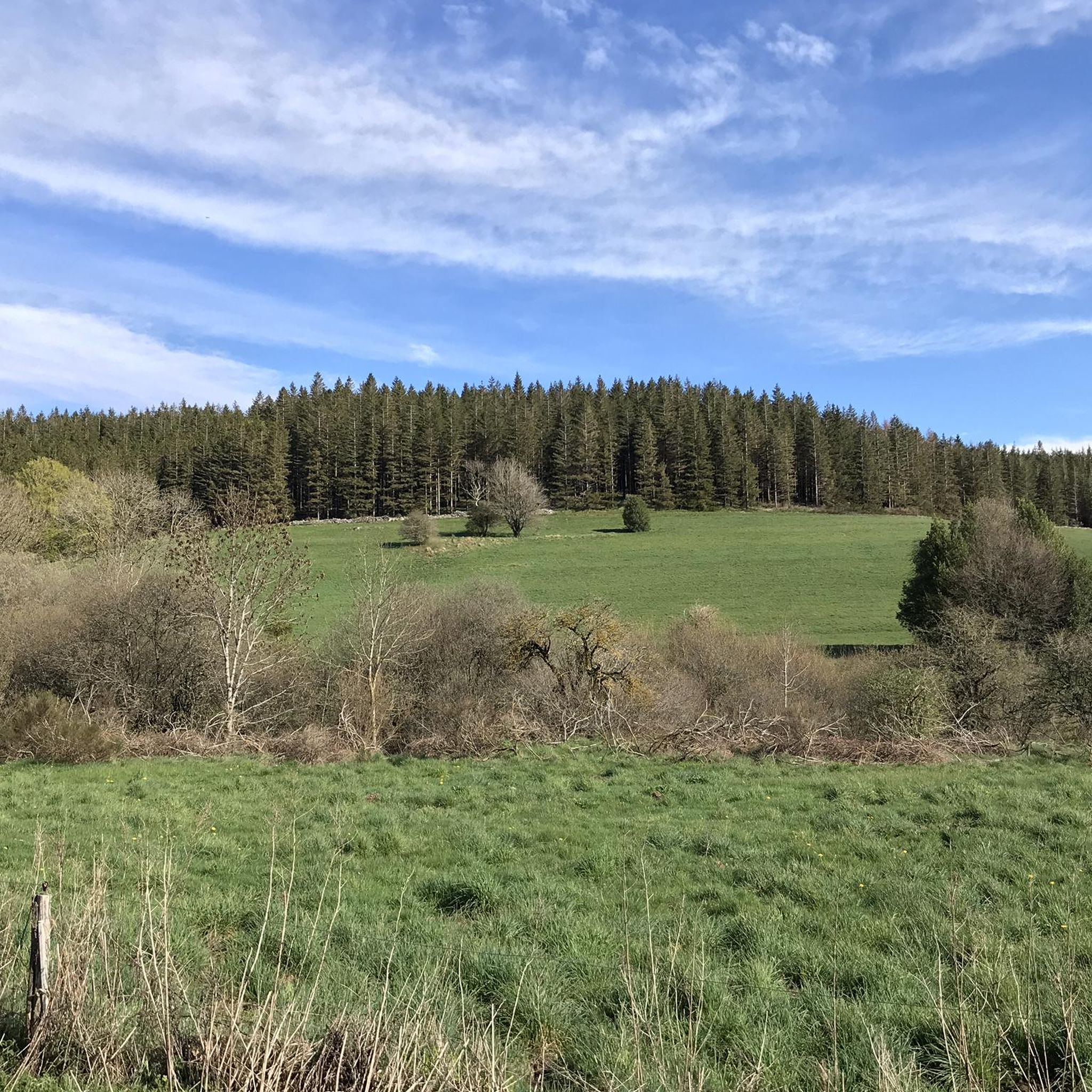
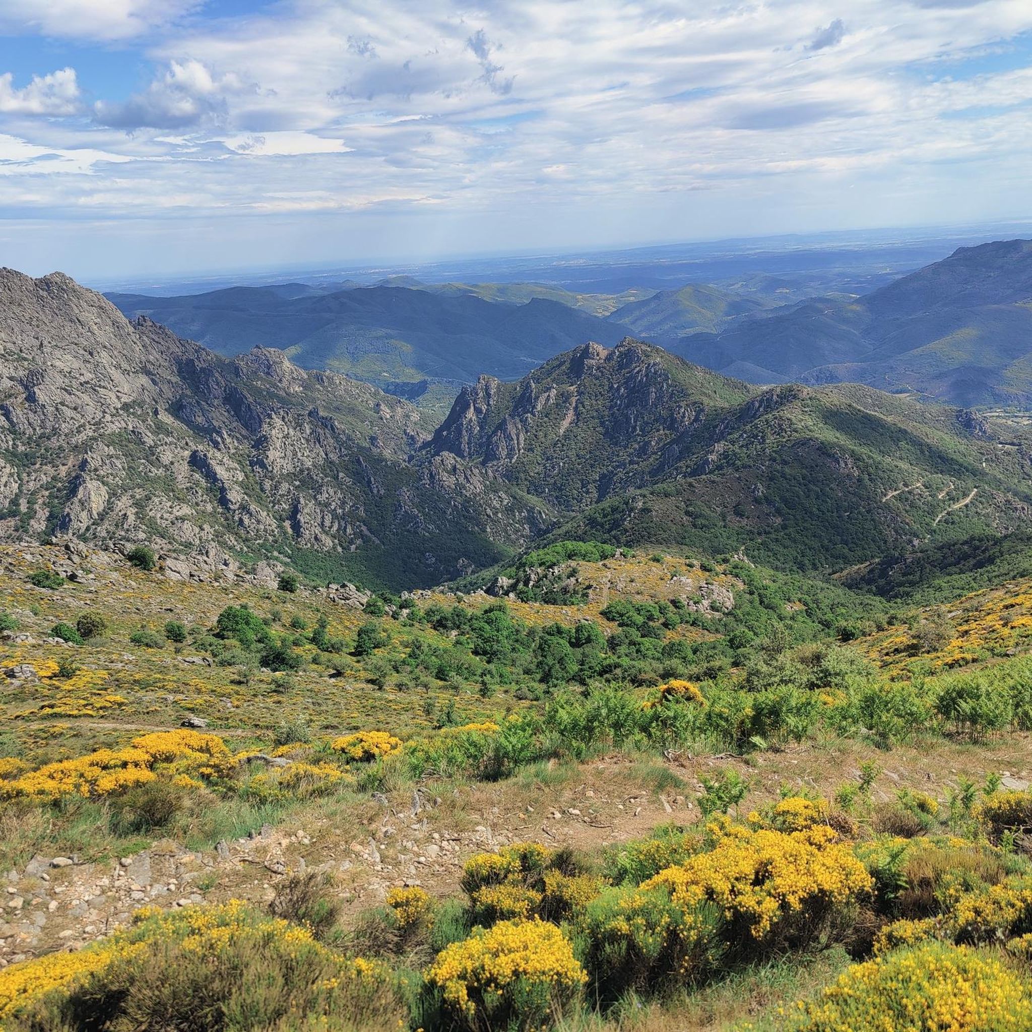
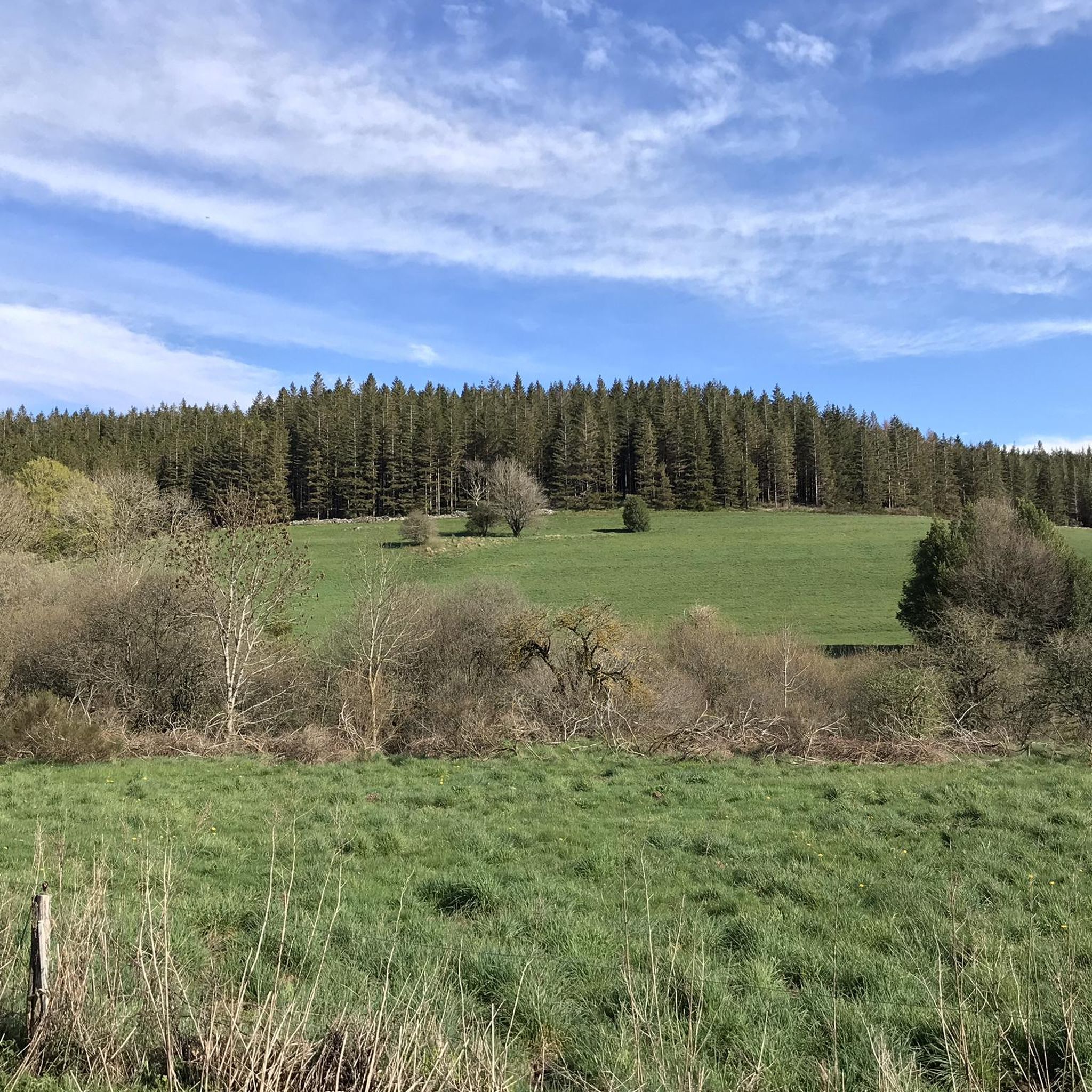
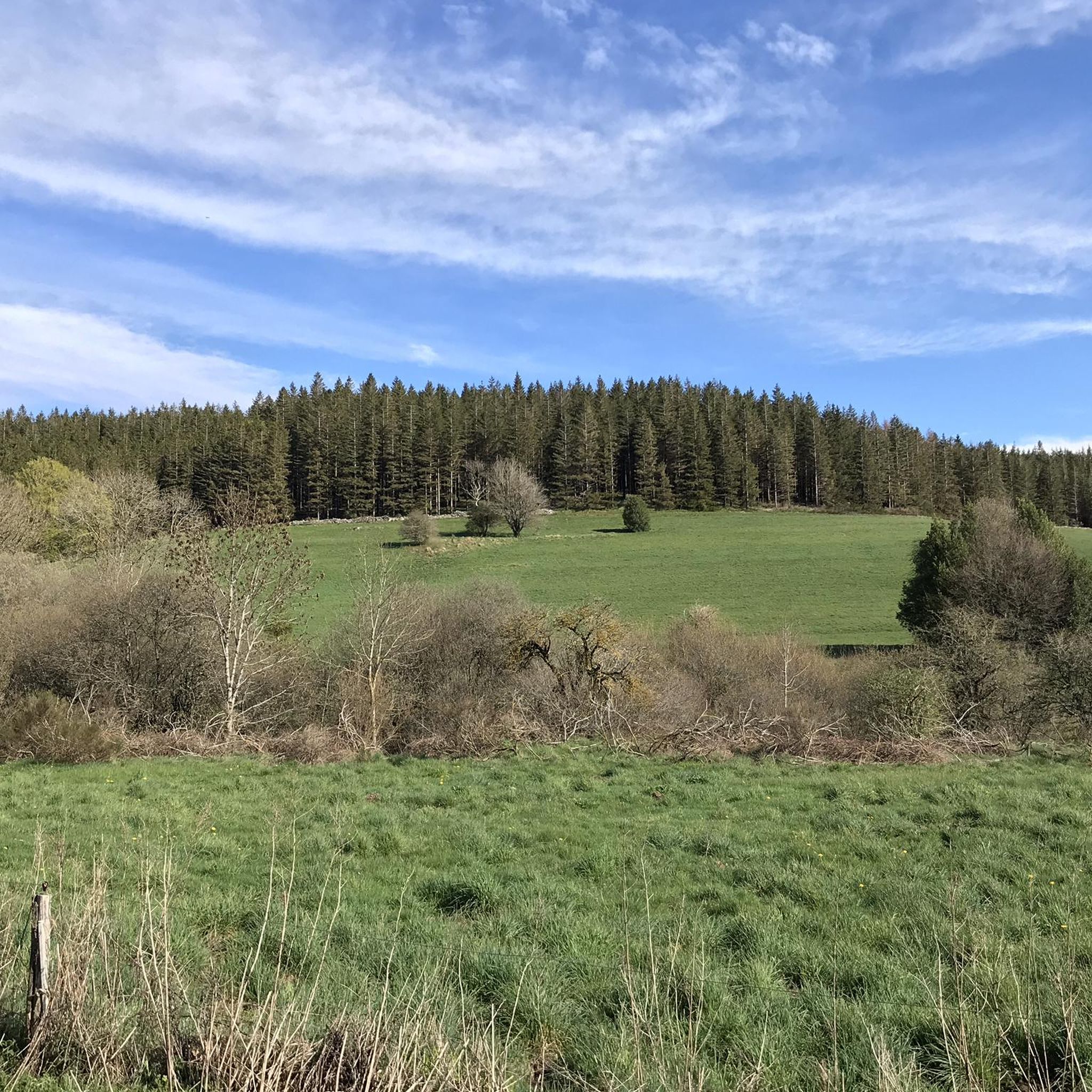
Jogging around Cambon-Et-Salvergues offers varied terrain within the Haut-Languedoc Regional Natural Park. The region features altitudes ranging from 900 to 1152 meters in the Espinouse mountains, providing challenging runs. Extensive forests of conifers and beeches, along with picturesque riverbank routes along the Agout river, characterize the landscape. The area also includes leisure bases around lakes such as Lac de la Raviège, Lac du Laouzas, and Lac de Vezoles, offering diverse natural settings for running.
Best jogging routes around Cambon-Et-Salvergues
- The…
Last updated: June 29, 2026
5.0
(2)
42
runners
Moderate run. Good fitness required. Mostly paved surfaces. Suitable for all skill levels.
139
runners
35.1km
06:29
2,110m
2,110m
Hard run. Very good fitness required. Sure-footedness, sturdy shoes and alpine experience required.

Sign up for free
14
runners
Hard run. Very good fitness required. Sure-footedness, sturdy shoes and alpine experience required.
11
runners
16.5km
02:28
740m
740m
Hard run. Very good fitness required. Sure-footedness, sturdy shoes and alpine experience required.
10
runners
13.7km
02:11
650m
650m
Hard run. Very good fitness required. Sure-footedness, sturdy shoes and alpine experience required.
Get access to more routes and recommendations from other explorers.
Sign up for free
Already have an account?
Our route recommendations are based on thousands of hikes, rides, and runs completed by other people on komoot.
Start today with a free account
Your next adventure awaits.
Login or Signup

Tips from the Community

A path that goes up and down nicely, mostly sheltered by chestnut trees.
0
0
An amazing viewpoint! You can see Sète, as well as a good part of the Pyrenees!
0
0
Beautiful hike, yes! Superb, even! Accessible to everyone? Certainly not! A strenuous hike, and on mostly quite rugged terrain.
0
0

Above Saint-Martin-de-l'Arçon, a superb view unfolds over the valley and surrounding hills. Choose a sunny day with clear skies to fully appreciate its beauty!
0
0

The "tower" is simply a pile of stones. However, the highest point of the plateau is still worth the climb; the view is magnificent in all directions. On a clear day, you can see the Mediterranean from over 1,000 meters above sea level. And on an even better day, you can see the Canigou and the main ridge of the Pyrenees. At night, the city lights are impressive (watch out for wild boars on the way to the parking lot).
0
0

Superb trail, very well-maintained and designed. Avoid during freezing weather or thunderstorms.
0
0
Frequently Asked Questions
How many running routes are available around Cambon-Et-Salvergues?
There are over 90 running routes around Cambon-Et-Salvergues, offering a wide range of options for different fitness levels and preferences. The region's diverse landscape, from riverbanks to mountainous terrain, ensures a varied running experience.
Are there easy or beginner-friendly jogging routes in Cambon-Et-Salvergues?
Yes, while the region is known for its mountainous terrain, there are a few easier routes suitable for beginners. You can find 3 routes classified as easy, often following gentler paths along riverbanks or through less steep forest sections.
Where can I find challenging or advanced running routes in the area?
For experienced runners seeking a challenge, Cambon-Et-Salvergues offers 59 difficult routes. These often feature significant elevation gains and cover longer distances through the Espinouse mountains. An example is the Mont Caroux Orientation Table – Caroux Summit Cairn loop from Douch, which is 7.0 miles long with substantial climbing.
Are there any long-distance running trails in Cambon-Et-Salvergues?
Absolutely. The region is ideal for long-distance running, with many routes extending over significant distances. For instance, the Viewpoint – Col de la Maure Trail loop from Mons is a challenging 22.4-mile path designed for endurance.
What kind of scenic views can I expect on the jogging trails?
Jogging in Cambon-Et-Salvergues offers breathtaking scenic views. You'll run through extensive forests of conifers and beeches, along picturesque riverbanks of the Agout river, and past leisure bases around lakes like Lac de la Raviège and Lac de Vezoles. Many routes provide panoramic vistas from the Espinouse mountains, including highlights like the Orientation table at Mont Caroux.
Are there any circular running routes available?
Yes, many of the running routes in Cambon-Et-Salvergues are designed as loops, allowing you to start and finish at the same point. A popular example is The summit of Carroux – loop trail from Douch, which offers a moderate 4.9-mile circuit.
What interesting landmarks or attractions can I see along the running routes?
The routes often pass by significant natural and historical landmarks. You might encounter mountain passes such as L'Espinouse Pass (1,124 m) or Fontfroide Pass. The area also features ancient sites like the Statue-menhir de Salverguettes and remnants of an old Roman road, adding a historical dimension to your run.
What do other runners enjoy most about jogging in Cambon-Et-Salvergues?
The running routes in Cambon-Et-Salvergues are highly rated by the komoot community, with an average score of 4.4 stars from over 30 reviews. Runners frequently praise the diverse terrain, the refreshing forests, and the stunning views from the mountainous paths. The variety of routes catering to different skill levels is also a highlight.
Is Cambon-Et-Salvergues suitable for family-friendly jogging or running with children?
While many routes are challenging, the presence of easier paths and leisure bases around lakes like Lac de Vezoles suggests there are options for family-friendly jogs. Look for routes classified as 'easy' or those that stick to flatter, well-maintained paths, which are generally more suitable for families.
Are there specific routes or areas recommended for running with dogs?
The extensive forests and natural park setting of Haut-Languedoc generally make it a great place for running with dogs. However, always ensure your dog is under control, especially in areas with wildlife like the Mouflon de Corse. Check local regulations for specific trails within the Natura 2000 sites to ensure dog-friendly access.
What is the best season for running in Cambon-Et-Salvergues?
The diverse climate, influenced by both Atlantic and Mediterranean weather, makes spring and autumn particularly pleasant for running, with milder temperatures and vibrant scenery. Summer offers refreshing runs through shaded forests, while winter can provide unique experiences, though some higher-altitude trails might be affected by snow or ice.
Are there any running routes that are accessible by public transport?
While Cambon-Et-Salvergues is a rural area, some routes may be accessible via regional bus services to nearby villages. It's advisable to check local public transport schedules in advance, as services can be limited. Many routes, especially those starting from Douch, often require personal vehicle access for convenience.
Where can I find parking for the jogging trails?
Many popular trailheads, especially those near villages like Douch or leisure bases around the lakes, offer designated parking areas. For example, routes starting from Douch typically have parking available. It's recommended to check the specific route details on komoot for information on parking facilities at the starting point.
Most popular routes around Cambon-Et-Salvergues
Most popular attractions around Cambon-Et-Salvergues

Get inspired with the komoot mobile app


Explore more
Browse the best Running Trails & Routes in other regions.
