The best walks and hikes around Causse-De-La-Selle
4.5
(1941)
11,955
hikers
286
hikes
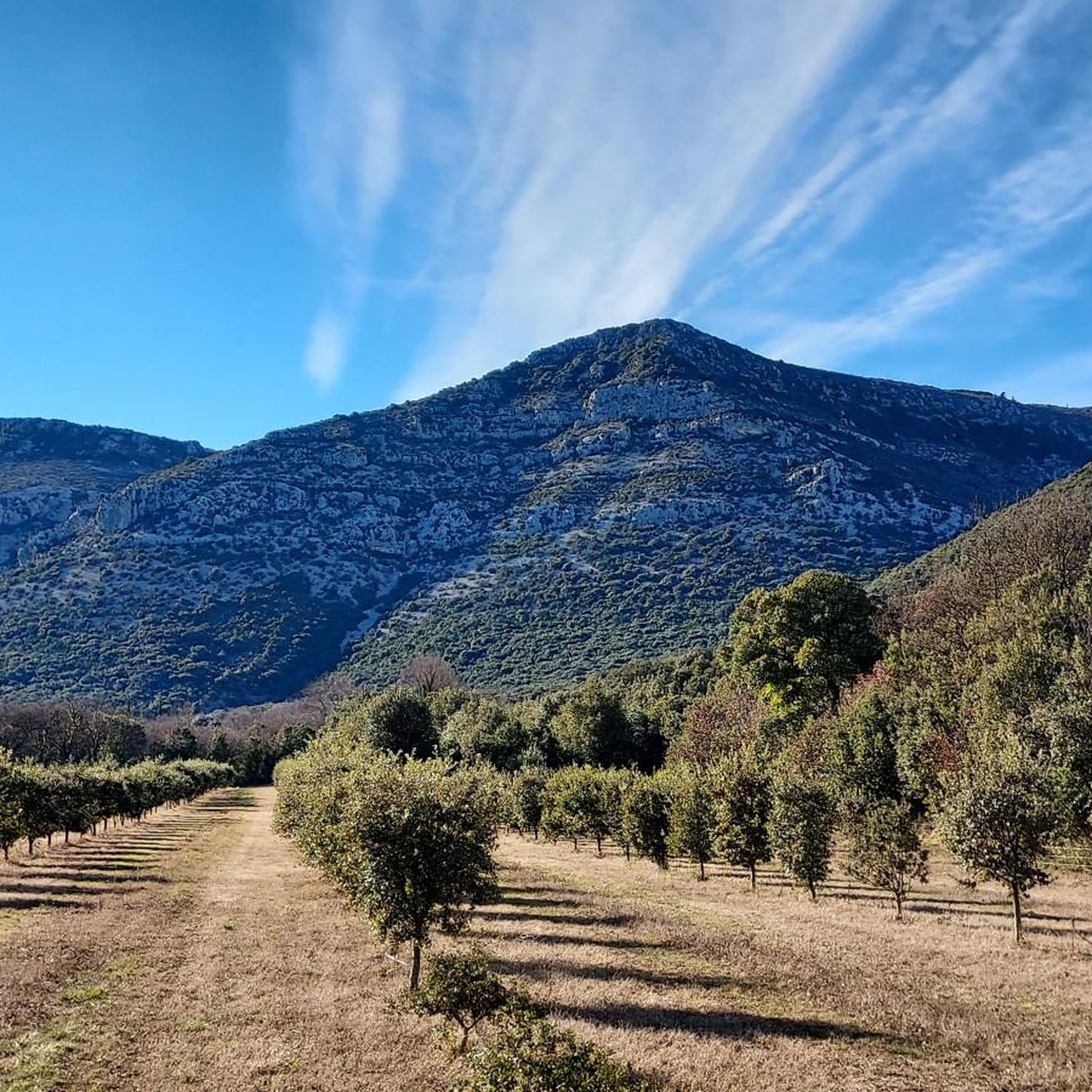
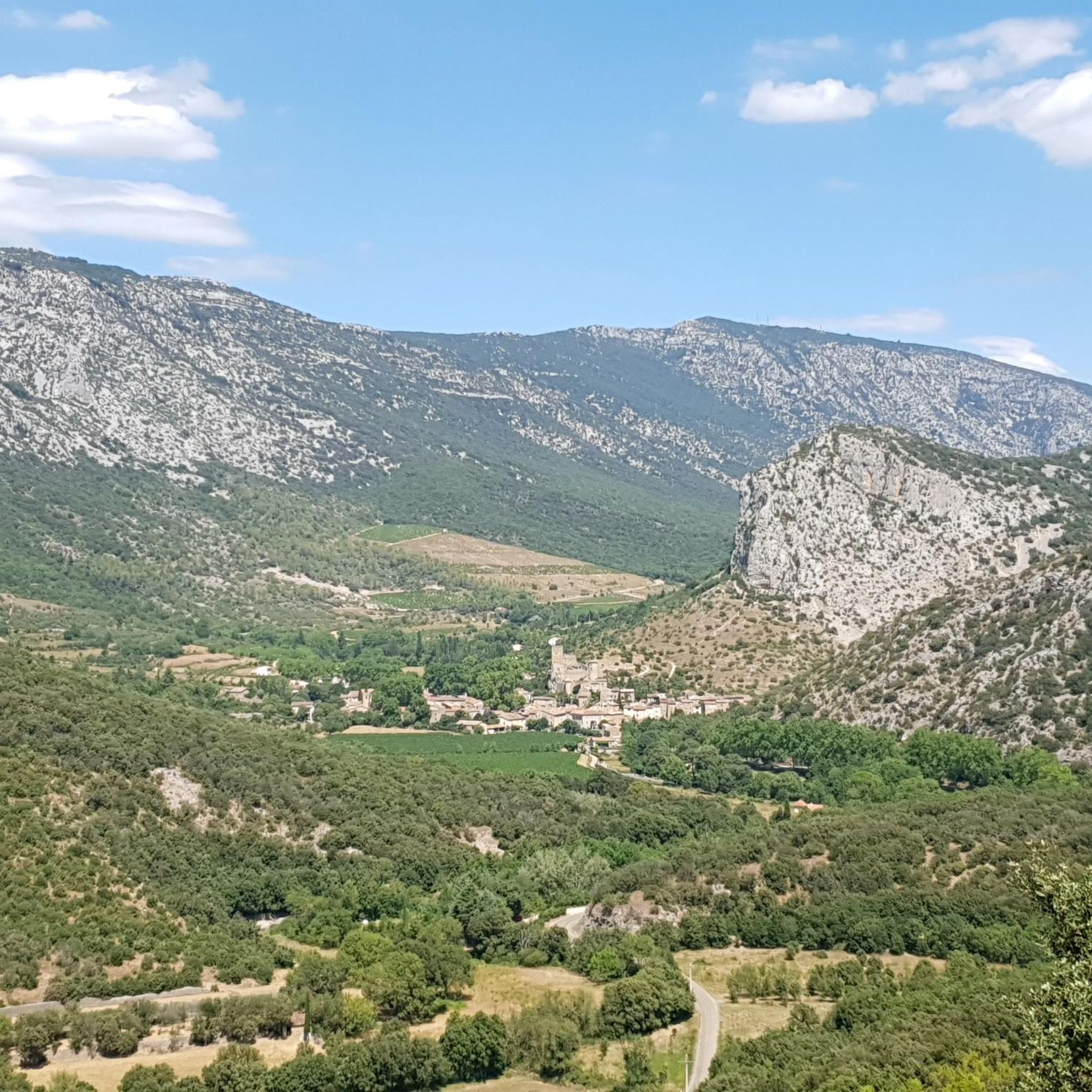
Hiking around Causse-De-La-Selle offers diverse landscapes characterized by limestone plateaus, deep gorges carved by rivers like the Buèges, and rolling hills. The region features a mix of open scrubland, dense Mediterranean forests, and river valleys. Elevation changes are generally moderate, with some trails leading to higher viewpoints over the surrounding terrain. This area provides a natural setting for outdoor activities, with numerous paths winding through its varied topography.
Best hiking trails around Causse-De-La-Selle
- The most popular hiking route is Gorges…
Last updated: October 11, 2026
4.5
(57)
293
hikers
8.40km
02:13
80m
80m
Moderate hike. Good fitness required. Easily-accessible paths. Suitable for all skill levels.
4.8
(13)
81
hikers
16.2km
05:33
840m
840m
Hard hike. Very good fitness required. Easily-accessible paths. Suitable for all skill levels.

4.7
(27)
156
hikers
12.8km
04:25
660m
660m
Hard hike. Good fitness required. Sure-footedness, sturdy shoes and alpine experience required.
4.7
(7)
71
hikers
Hard hike. Very good fitness required. Sure-footedness, sturdy shoes and alpine experience required.
4.5
(8)
23
hikers
8.80km
02:29
190m
190m
Moderate hike. Good fitness required. Easily-accessible paths. Suitable for all skill levels.
Get access to more routes and recommendations from other explorers.
Already have an account?
Our route recommendations are based on thousands of hikes, rides, and runs completed by other people on komoot.
Start today with a free account
Your next adventure awaits.
Tips from the Community

A great village, with winding alleyways where it's pleasant to get lost.
0
0
A magical place, ideal for taking a break by the water.
0
0


magnificent waterfalls, a must-see
1
0

Everything is fine until the Buèges floods 😅
0
0
One of the few ways in the area to cross the Buèges when it is in flood 😅
0
0

WARNING DANGEROUS PATH! Once you leave the GR path, it is not easy at all to follow any semblance of a path... The best thing is to follow my tracks, BUT given how well the GPS works at this point, it will be complicated. You have to go around the massive rock (roughly), and then pass between the two large rocks. The slope is steep, with some slippery passages. People who are not comfortable with heights, or a bit of climbing, do not venture there. Once at the top, between the two rocks, you will pass under a beautiful arch, then going down, and going back up on your left, you will come across a cave. For the other caves, you will have to climb a little more on the GR, and join a clearly visible fault, then cross the ledge! Access is also dangerous, full of voids. Then you can see another cave a little further, which will require a little impractical climbing.
0
0
The cross is still there as of 01/26/2025. The view is superb!
1
0
Frequently Asked Questions
How many hiking trails are available in Causse-De-La-Selle?
There are over 260 hiking routes in the Causse-De-La-Selle region, offering a wide range of options for all skill levels. This includes 61 easy, 149 moderate, and 53 difficult trails.
What kind of terrain can I expect on hikes in Causse-De-La-Selle?
The region is characterized by diverse landscapes, including limestone plateaus, deep gorges carved by rivers like the Buèges, and rolling hills. You'll find a mix of open scrubland, dense Mediterranean forests, and river valleys. Elevation changes are generally moderate, though some trails lead to higher viewpoints.
Are there easy hikes suitable for beginners in Causse-De-La-Selle?
Yes, Causse-De-La-Selle offers 61 easy hiking trails perfect for beginners or those looking for a relaxed walk. A good option is the Gorges de la Buèges Trail, which is 5.2 miles (8.4 km) long and follows the river with minimal elevation gain.
Are there any circular walks in Causse-De-La-Selle?
Many trails in the region are designed as loops. For a challenging circular route, consider the Peyre Martine – loop from Saint-Jean-de-Buèges, which offers expansive views. A moderate option is the Saint-Jean-de-Buèges – Buèges Spring loop from Saint-Jean-de-Buèges, leading through varied terrain.
What interesting natural landmarks or attractions can I see while hiking?
The region is rich in natural beauty. You can explore impressive gorges like the Cirque de l'Infernet and its unique rock formations at Les Fenestrettes. There are also several peaks offering panoramic views, such as Peyre Martine Summit and Mont Saint-Baudille Summit.
Are dogs allowed on the hiking trails in Causse-De-La-Selle?
Generally, dogs are welcome on trails in the Causse-De-La-Selle region, especially if kept on a leash. However, it's always advisable to check specific local regulations, particularly in nature reserves or protected areas, to ensure a pleasant experience for everyone.
Can I find family-friendly hiking trails in Causse-De-La-Selle?
Yes, many of the easier trails are suitable for families. Routes with minimal elevation gain, such as those along riverbeds or through forests, are often ideal. Look for trails that are shorter in distance and have well-maintained paths for a comfortable family outing.
What do other hikers say about the trails in Causse-De-La-Selle?
The hiking trails in Causse-De-La-Selle are highly rated by the komoot community, with an average score of 4.5 stars from over 1500 reviews. Hikers often praise the diverse landscapes, the tranquility of the gorges, and the well-marked paths that make exploration enjoyable.
Are there hiking trails with waterfalls or water features in Causse-De-La-Selle?
While large waterfalls are not a primary feature, the region is defined by its rivers, particularly the Buèges, which carves through scenic gorges. You'll find numerous spots along the river where you can enjoy the sound and sight of flowing water, and the Devil's Bridge is a notable water-related landmark.
Where can I find parking for hiking trails in Causse-De-La-Selle?
Many trailheads, especially those near villages like Saint-Jean-de-Buèges, offer designated parking areas. It's common to find small parking lots or roadside spaces at popular starting points. Always check local signage for any restrictions.
What is the best time of year to go hiking in Causse-De-La-Selle?
Spring (April-June) and autumn (September-October) are generally the best times for hiking in Causse-De-La-Selle. The weather is mild, and the landscapes are vibrant with spring blooms or autumn colors. Summer can be very hot, making early morning or late afternoon hikes preferable, while winter offers a quieter experience, though some paths might be muddy.
Are there options for wild swimming near the hiking trails?
The rivers in the gorges, such as the Buèges, offer opportunities for refreshing dips, especially during warmer months. While not officially designated swimming spots, many locals and hikers enjoy cooling off in the clear waters. Always exercise caution and be aware of currents and water levels.
Most popular routes around Causse-De-La-Selle
Most popular attractions around Causse-De-La-Selle

Get inspired with the komoot mobile app


Explore more
Browse the best Hikes in other regions.
