The best walks and hikes around Cazilhac
4.3
(701)
3,670
hikers
14
hikes
Hiking around Cazilhac offers routes through varied terrain, characterized by the foothills of the Cévennes Mountains and the Hérault river valley. The landscape features a mix of forested areas, rocky outcrops, and open views towards the surrounding peaks. Elevations range from gentle slopes near the river to more significant climbs into the higher ground.
Best hiking trails around Cazilhac
- The most popular hiking route is La Plagette of Laroque – View of the Cévennes Mountains loop from Laroque, a…
Last updated: June 25, 2026
10
hikers
16.6km
04:56
520m
520m
Moderate hike. Good fitness required. Easily-accessible paths. Suitable for all skill levels.
5.0
(1)
6
hikers
15.0km
04:23
390m
400m
Moderate hike. Good fitness required. Mostly accessible paths. Sure-footedness required.

Sign up for free
3
hikers
25.8km
08:14
980m
980m
Hard hike. Very good fitness required. Mostly accessible paths. Sure-footedness required.
3.0
(1)
6
hikers
6.65km
02:12
330m
330m
Moderate hike. Good fitness required. Easily-accessible paths. Suitable for all skill levels.
7
hikers
12.3km
03:39
380m
380m
Moderate hike. Good fitness required. Easily-accessible paths. Suitable for all skill levels.
Get access to more routes and recommendations from other explorers.
Sign up for free
Already have an account?
Our route recommendations are based on thousands of hikes, rides, and runs completed by other people on komoot.
Start today with a free account
Your next adventure awaits.
Login or Signup
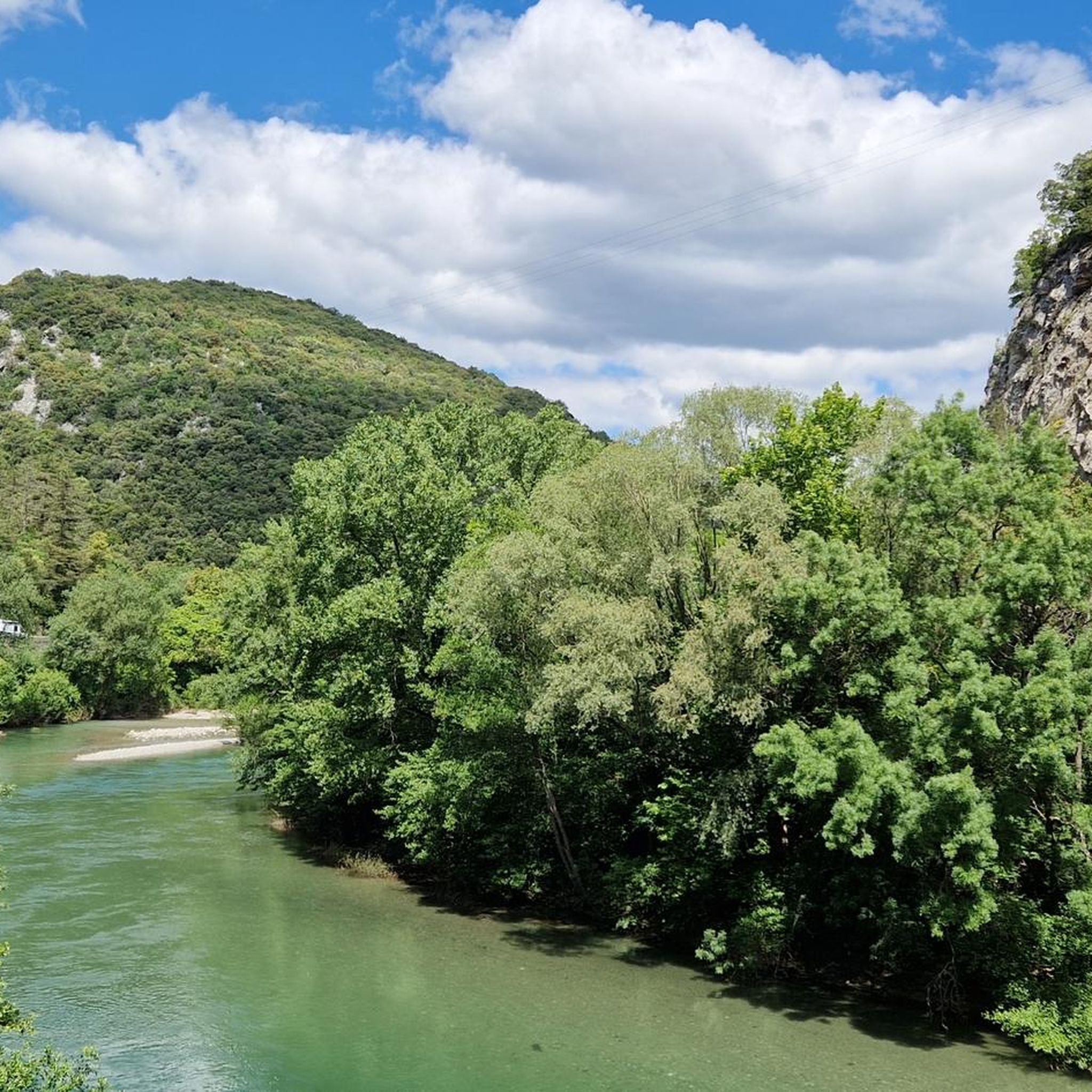
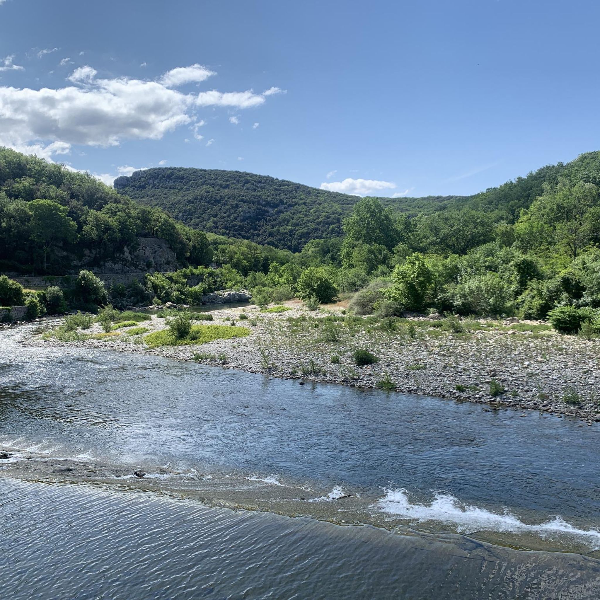
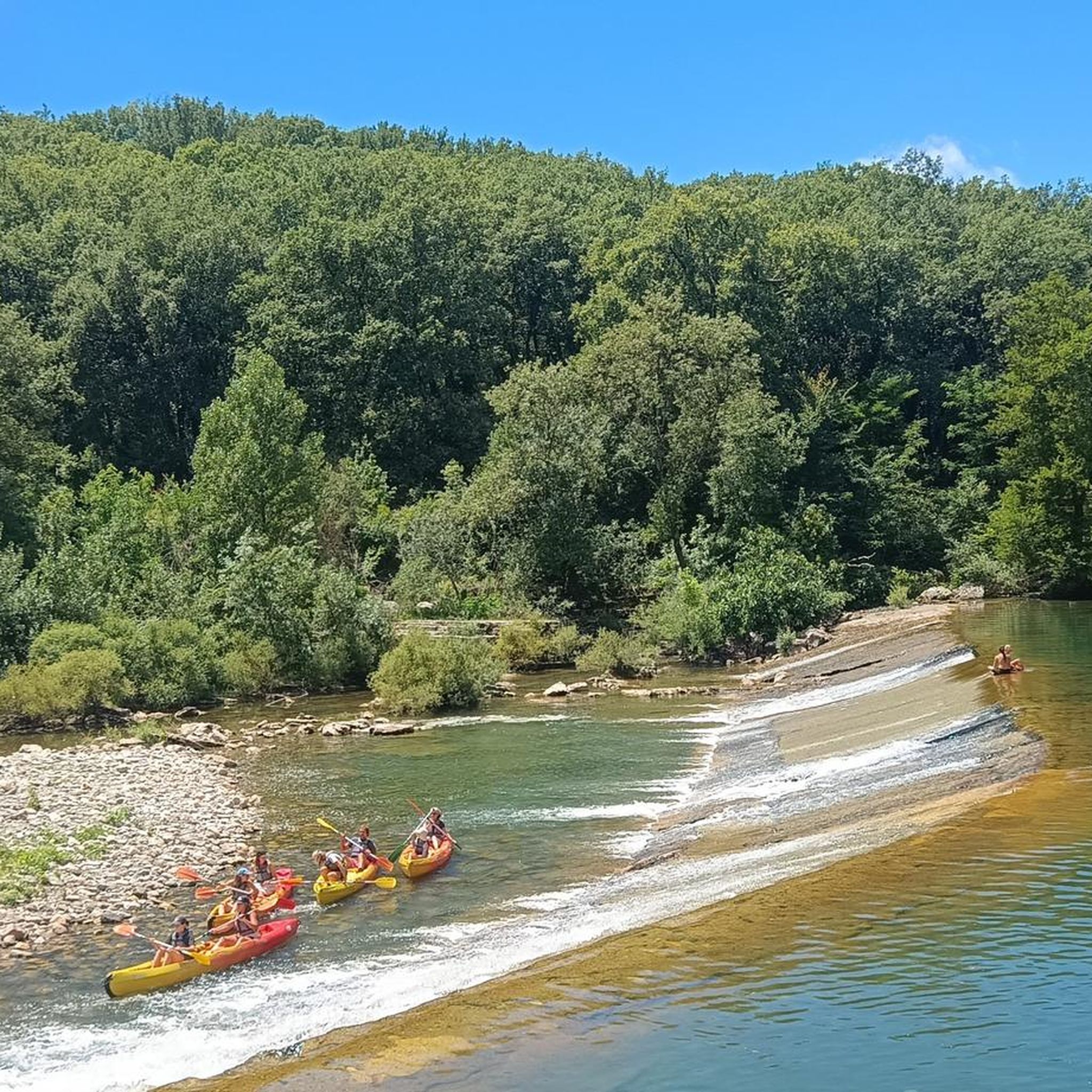
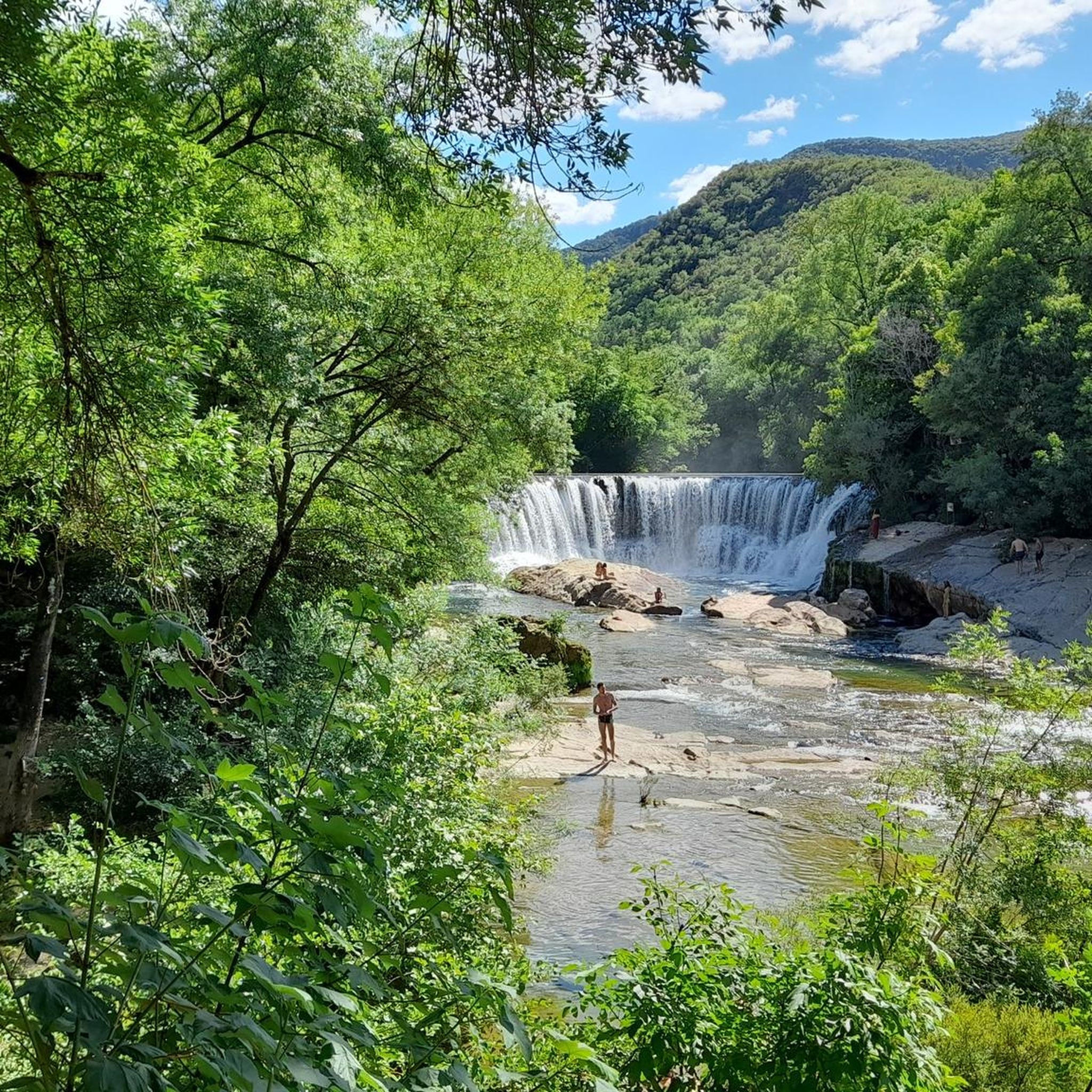

Tips from the Community

Magnificent ridge "path", not always very visible but the number of options is limited so it's easy to find your way around
0
0

Although accessible and quite easy, this passage can still impress more than one person! The start is not very obvious from the Col du Roc Blanc (911m), but by heading towards the ridge, you will easily find the path. Be careful for people who are prone to vertigo. Also be careful with children and animals, the edge is quite unstable. To follow the ridge, follow the blue markings, with a hint of yellow. You may not always expose yourself with a view of the void.
0
0
At this point, you can easily see, in the distance, the Pic Saint Loup (658m) & the Hortus (512m). You are, despite appearances, above, at about 760m altitude.
0
0
Access to the Roc du Blanc via the Sanctuary of Notre-Dame du Suc, via the statue of the Virgin Mary, is quite easy, provided you have some legs and a good cardio! It really climbs quite a bit for a good part, to finally calm down when you reach the antennas. Afterwards, it is only a "big" path, where it is not uncommon to come across hunters. Be careful, at the Roc Blanc, you are between 911 and 940m above sea level, depending on where you are positioned, it is important to cover yourself, especially in winter. The descent is steep (on my route). The path is sometimes not very obvious on the ridge, you have to follow the blue markings with a semblance of yellow! The hike in the opposite direction is tough, due to its slope of more than 38° in places, advice to amateurs!
3
0
A cavity that at first glance looks like a rock shelter. However, it still contains some treasures, otherwise you have to cross some moderately narrow passages, sometimes in mud, or water. HELMET AND LAMP MANDATORY. The rest of the network is very beautiful, sensitive, so please do not dirty anything during your passage.
0
0
A chasm that I was able to visit a few years ago, up to the terminus at about -185m. A dangerous and poorly protected access, so be careful with children and animals, the fall is inevitably fatal. A first well of about 25m, allows you to have two choices.. North network (about 90m against walls, 17 splits (faster with several), or the South network (fairly technical handrail, then well of about 88m full void (more sensation, more physical, and longer)). We come across a scree that we descend, then another well of about 25m is offered to you, to reach the terminus (under construction). Other rooms upstream are possible ... With a climb of more than 20m, very committed, or the fall will be fatal, then a small lake to cross, and a narrowness to pass after having climbed another concretion of about 5m (very technical and very dangerous, even for experienced people).
0
0

At the top of the village, unspoiled on a rocky promontory with a beautiful view of the Hérault valley as a bonus
0
0

Frequently Asked Questions
How many hiking trails are available around Cazilhac?
Cazilhac offers a selection of 12 hiking trails, catering to various skill levels. You'll find 3 easy routes, 7 moderate options, and 2 more challenging trails.
Are there easy hikes suitable for beginners in Cazilhac?
Yes, Cazilhac features 3 easy hiking trails, perfect for beginners or those seeking a relaxed walk. These routes often follow gentler terrain, such as paths along the Hérault river valley, offering pleasant strolls without significant elevation gain.
What kind of terrain can I expect on hikes around Cazilhac?
The hiking trails around Cazilhac are characterized by varied terrain, including forested areas, rocky outcrops, and paths along the Hérault river valley. You'll encounter both gentle slopes and more significant climbs into the foothills of the Cévennes Mountains.
Are there any circular walks in the Cazilhac area?
Yes, many routes around Cazilhac are designed as circular walks, allowing you to start and end at the same point. An example is the Hiking loop from Col de l'Âne, which offers a 7.7-mile (12.3 km) journey through the local landscape.
What are some notable natural attractions or viewpoints along the trails?
Hikers can discover several natural attractions and viewpoints. Consider visiting the Ranc de Banes Viewpoint for expansive vistas, or explore the unique Baumettes du Caylaret and Natural Arch. The View of the Gornies spring also offers a picturesque stop.
Are there any longer, more challenging hikes for experienced trekkers?
For experienced trekkers, Cazilhac offers more challenging options. The Roc Blanc Ridge – Le Roc Blanc loop from Cazilhac is a difficult 16-mile (25.8 km) trail with nearly 3,231 feet (985 m) of elevation gain, providing a demanding and rewarding experience.
What do other hikers enjoy most about hiking in Cazilhac?
The area is highly rated by the komoot community, with an average score of 4.3 stars from over 600 reviews. Hikers often praise the diverse landscapes, from river valleys to Cévennes mountain views, and the well-maintained network of trails suitable for various abilities.
Are there any hikes that offer panoramic views of the Cévennes Mountains?
Absolutely. Many trails provide stunning views of the Cévennes. The View of the Cévennes Mountains – La Plagette of Laroque loop from Laroque is a 9.3-mile (15.0 km) route specifically known for its expansive Cévennes vistas.
How long do hikes in Cazilhac typically take?
Hiking durations vary significantly depending on the trail's length and difficulty. Shorter, easy routes might take a couple of hours, while moderate trails like Le Roc Blanc loop from Col de l'Âne, at 10.3 miles (16.6 km), typically require around 4 hours 56 minutes. The most challenging routes can take 8 hours or more.
Are there any specific peaks or summits that can be reached on hikes?
Yes, the region around Cazilhac offers access to several peaks and elevated points. You can find trails leading towards Montagne de la Seranne or explore the area around Anjeau Peak, providing opportunities for summit views.
What is the best time of year for hiking in Cazilhac?
The region's Mediterranean climate generally makes spring and autumn ideal for hiking, with milder temperatures and vibrant natural colors. Summer can be hot, especially at lower elevations, while winter offers cooler, crisp conditions, though some higher trails might be affected by weather.
Most popular attractions around Cazilhac

Get inspired with the komoot mobile app


Explore more
Browse the best Hikes in other regions.
