The best road cycling routes around Sarrageois
4.4
(111)
4,298
riders
118
rides
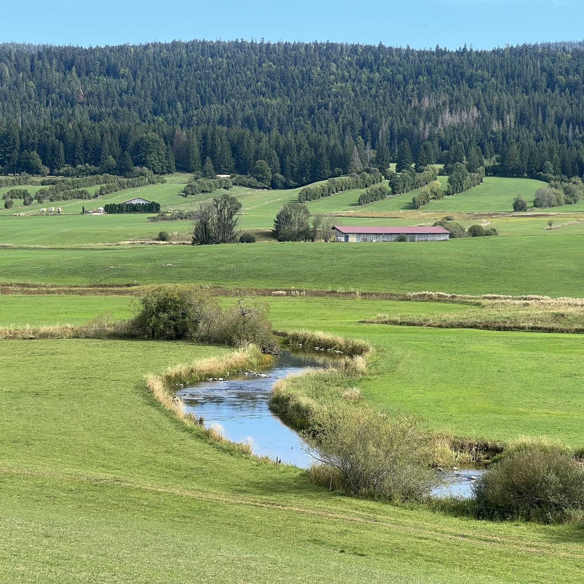
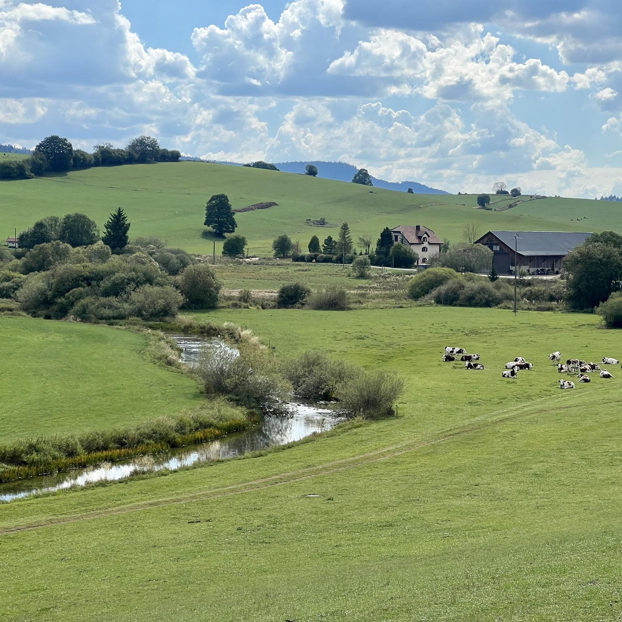
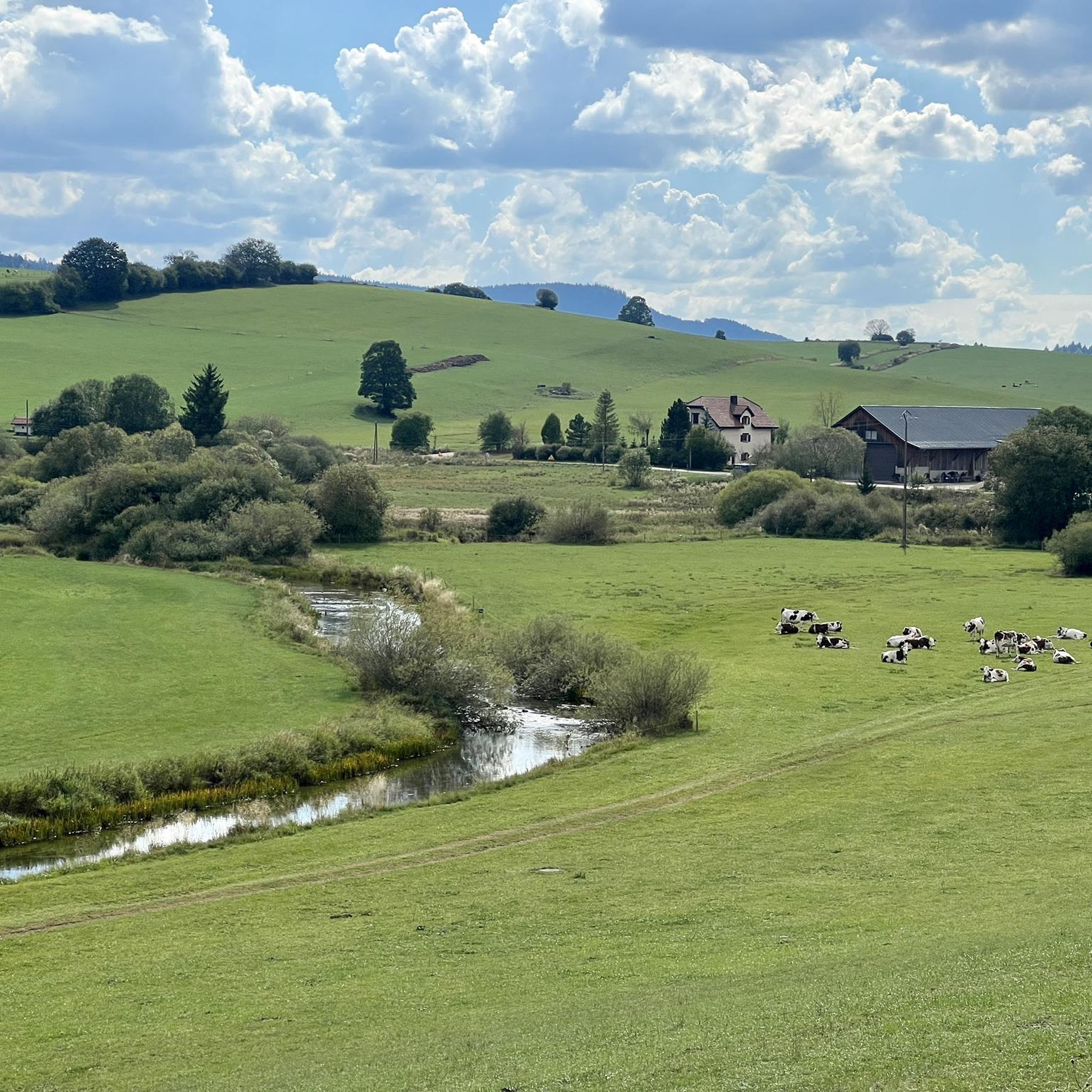
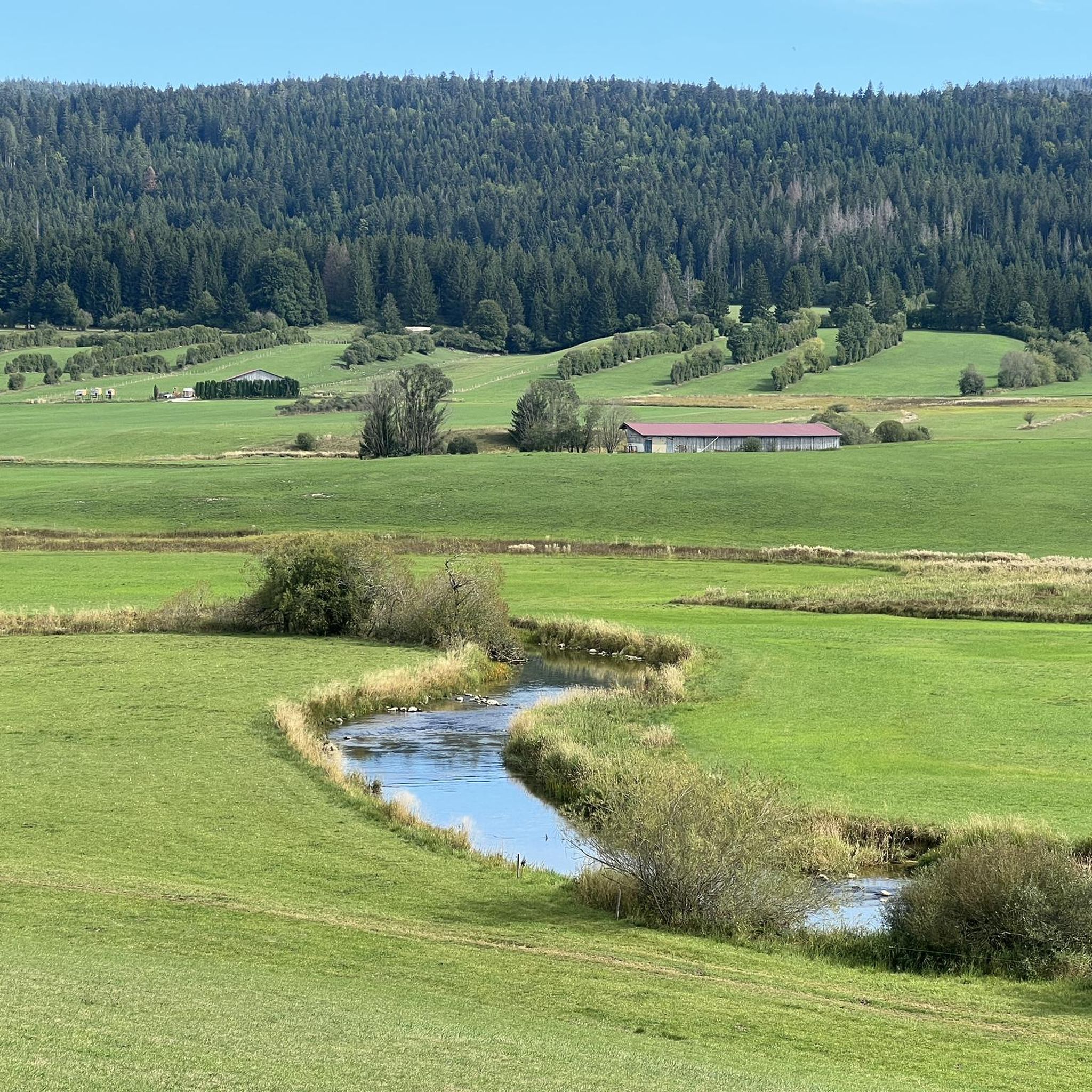
Road cycling routes around Sarrageois traverse a landscape characterized by its lakes, dense fir forests, and rolling hills of the Jura region. The area features a mix of flat sections along water bodies and more challenging ascents through wooded terrain. Road cyclists can expect varied topography, including scenic routes around Lac de Remoray and Étang de la Rivière-Drugeon. The region offers a network of paved roads suitable for different skill levels, from gentle loops to routes with significant elevation gain.
…Last updated: July 7, 2026
4.1
(9)
204
riders
77.5km
03:18
580m
580m
Moderate road ride. Good fitness required. Mostly well-paved surfaces and easy to ride.
4.4
(5)
109
riders
56.2km
02:43
760m
760m
Moderate road ride. Good fitness required. Some segments of this route may be unpaved and difficult to ride.

Sign up for free
41
riders
26.9km
01:11
240m
240m
Easy road ride. Great for any fitness level. Mostly well-paved surfaces and easy to ride.
5.0
(2)
28
riders
50.2km
02:24
620m
620m
Moderate road ride. Good fitness required. Mostly well-paved surfaces and easy to ride.
4.0
(2)
48
riders
70.6km
03:21
930m
930m
Hard road ride. Very good fitness required. Mostly well-paved surfaces and easy to ride.
Get access to more routes and recommendations from other explorers.
Sign up for free
Already have an account?
Our route recommendations are based on thousands of hikes, rides, and runs completed by other people on komoot.
Start today with a free account
Your next adventure awaits.
Login or Signup

Tips from the Community

Vallorbe is the starting point for the TGV from Lausanne to Paris, so it also crosses the viaduct several times. Seat with a beautiful view on the bicycle/bike route #7 / #3 from Vallorbe to St Croix shortly after Vallorbe station.
0
0

A very pretty viewpoint from the road overlooking Lake Remoray, a discreet neighbor of Lake Saint-Point. Located in the heart of a wild and preserved natural environment, it benefits from the status of a national nature reserve, and shelters a biological treasure: more than 200 species of birds, nearly 1,300 species of insects and 42 species of mammals find refuge there.
0
0

Magnificent view of the Bief de la Ruine waterfall and a bridge of the former railway line.
7
0


Chaux-Neuve is a small town in the Doubs region that hosts an international Nordic Combined World Cup event every year. To the south of the town, you can't miss these three large ski jumps, the largest of which rises to 118 meters.
0
0
Frequently Asked Questions
How many road cycling routes are available around Sarrageois?
There are over 110 road cycling routes around Sarrageois, offering a wide variety of options for different skill levels and preferences. You'll find everything from gentle loops to challenging climbs.
Are there road cycling routes suitable for beginners in Sarrageois?
Yes, Sarrageois offers several routes ideal for beginners. There are 21 easy road cycling routes, often featuring flatter sections along water bodies like Lac de Remoray and Étang de la Rivière-Drugeon, providing a pleasant introduction to the region's scenery.
What kind of terrain can I expect on road cycling routes in Sarrageois?
Road cycling routes in Sarrageois feature varied topography. You'll encounter flat sections along lakes, rolling hills, and more challenging ascents through dense fir forests, characteristic of the Jura region. The routes are predominantly on paved roads.
Are there any challenging road cycling routes for experienced cyclists?
Absolutely. For experienced cyclists seeking a challenge, Sarrageois has 52 difficult routes. One notable option is the Bellevue Le Rocheray – Chapelle des Bois loop from Mouthe, which covers 89.4 km with over 1250 meters of elevation gain. Another demanding route is the View of Lac de Remoray – Abbey Lake loop from Mouthe, stretching nearly 120 km with over 1400 meters of climbing.
What are some scenic highlights to look out for on road cycling routes in Sarrageois?
The region is known for its serene lake views and extensive fir tree forests. Many routes offer glimpses of Lac de Remoray and Étang de la Rivière-Drugeon. You might also pass by significant natural landmarks such as Dent de Vaulion or the beautiful Lac de Joux.
Are there circular road cycling routes available in Sarrageois?
Yes, many road cycling routes in Sarrageois are designed as loops, allowing you to start and finish in the same location. A popular moderate circular route is the View of Lac de Remoray – Étang de la Rivière-Drugeon loop from Mouthe, offering diverse scenery.
What do other road cyclists say about the routes in Sarrageois?
The road cycling routes in Sarrageois are highly rated by the komoot community, with an average score of 4.5 stars from over 90 reviews. Cyclists often praise the varied terrain, the beautiful lake views, and the peaceful atmosphere of the fir forests.
Can I find routes that include mountain passes or significant climbs?
Yes, the Jura region around Sarrageois features several notable climbs. For instance, the Mouthe – Col de Saint-Sorlin (1,142 m) loop from Mouthe includes a significant ascent to Col de Saint-Sorlin, providing a rewarding challenge and panoramic views.
Are there any routes that go through dense forests?
Many routes in Sarrageois traverse the region's characteristic dense fir forests. The Road through the fir trees – Chapelle des Bois loop from Mouthe is a prime example, offering a serene cycling experience surrounded by woodland.
What is the best season for road cycling in Sarrageois?
The best season for road cycling in Sarrageois is typically from late spring to early autumn (May to October). During these months, the weather is generally mild, and the roads are clear of snow, offering optimal conditions for exploring the region's diverse landscapes.
Are there places to stop for refreshments or shelter along the routes?
While specific cafe stops vary by route, the region does have several huts and refuges that can offer a break. For example, you might find places like the Bon Accueil Refuge or the Clamagasin Hut along some trails, though it's always wise to check their accessibility and opening hours in advance.
What are the typical distances and durations for road cycling routes in Sarrageois?
Routes vary significantly in length and duration. Moderate routes often range from 50 to 80 km, taking 3 to 4 hours to complete. More difficult routes can extend over 100 km and require 5 hours or more, depending on your pace and elevation gain.
Most popular routes around Sarrageois
Most popular attractions around Sarrageois

Get inspired with the komoot mobile app


Explore more
Browse the best Road cycling routes in other regions.
