The best walks and hikes around Le Moulinet-Sur-Solin
4.6
(58)
225
hikers
42
hikes
Hiking around Le Moulinet-Sur-Solin offers routes through a landscape characterized by flat terrain, local ponds, and forested areas. The region features gentle elevation changes, making many trails accessible. Hikers can expect to encounter a mix of open paths and shaded woodland sections.
Best hiking trails around Le Moulinet-Sur-Solin
- The most popular hiking route is PR du Moulin (K7) — Loop from Dampierre-en-Burly, a 5.9 miles (9.5 km) moderate trail that takes 2 hours 56 minutes to complete. This route…
Last updated: July 5, 2026
5.0
(2)
3
hikers
9.53km
02:56
40m
40m
Moderate hike. Good fitness required. Easily-accessible paths. Suitable for all skill levels.
3.7
(3)
3
hikers
12.4km
03:11
50m
50m
Hike the 7.7-mile PR de la Croix au Beurre (E15) loop near Montereau, featuring forests, prairies, and historical waterways.

Sign up for free
5.0
(2)
6
hikers
Moderate hike. Good fitness required. Easily-accessible paths. Suitable for all skill levels.
2.5
(2)
4
hikers
Moderate hike. Good fitness required. Easily-accessible paths. Suitable for all skill levels.
4
hikers
5.73km
01:28
20m
20m
Easy hike. Great for any fitness level. Easily-accessible paths. Suitable for all skill levels.
Get access to more routes and recommendations from other explorers.
Sign up for free
Already have an account?
Our route recommendations are based on thousands of hikes, rides, and runs completed by other people on komoot.
Start today with a free account
Your next adventure awaits.
Login or Signup

Tips from the Community

The castle of Dampierre-en-Burly dates from the 15th and 16th centuries, when it belonged to the Cugnac family. Decorated by the painter Michel Dorigny, it was destroyed during the French Revolution. Only the clock tower, which serves as the entrance, remains of the original building. The current castle was rebuilt in the 19th century by Amédée de Béhague, an agronomist who created an estate of 2,000 hectares. The castle is not open to the public, but you can admire its architecture and gardens from the outside. You can also discover the neighboring village of Dampierre-en-Burly, which has remains of fortifications from the Middle Ages.
2
0

Nice view of the castle of Dampierre-en-Burly from the bridge separating the Etang du Bourg and the Etang du Grand Moulin. It was built in the 17th century then completely renovated in the 19th and today offers us its magnificent ramparts to observe (unable to visit it as it is a private castle).
0
0
Pretty corner of nature where different rivers and ponds meet, the Menotte and the Courpalet and Lideuve channels.
0
0
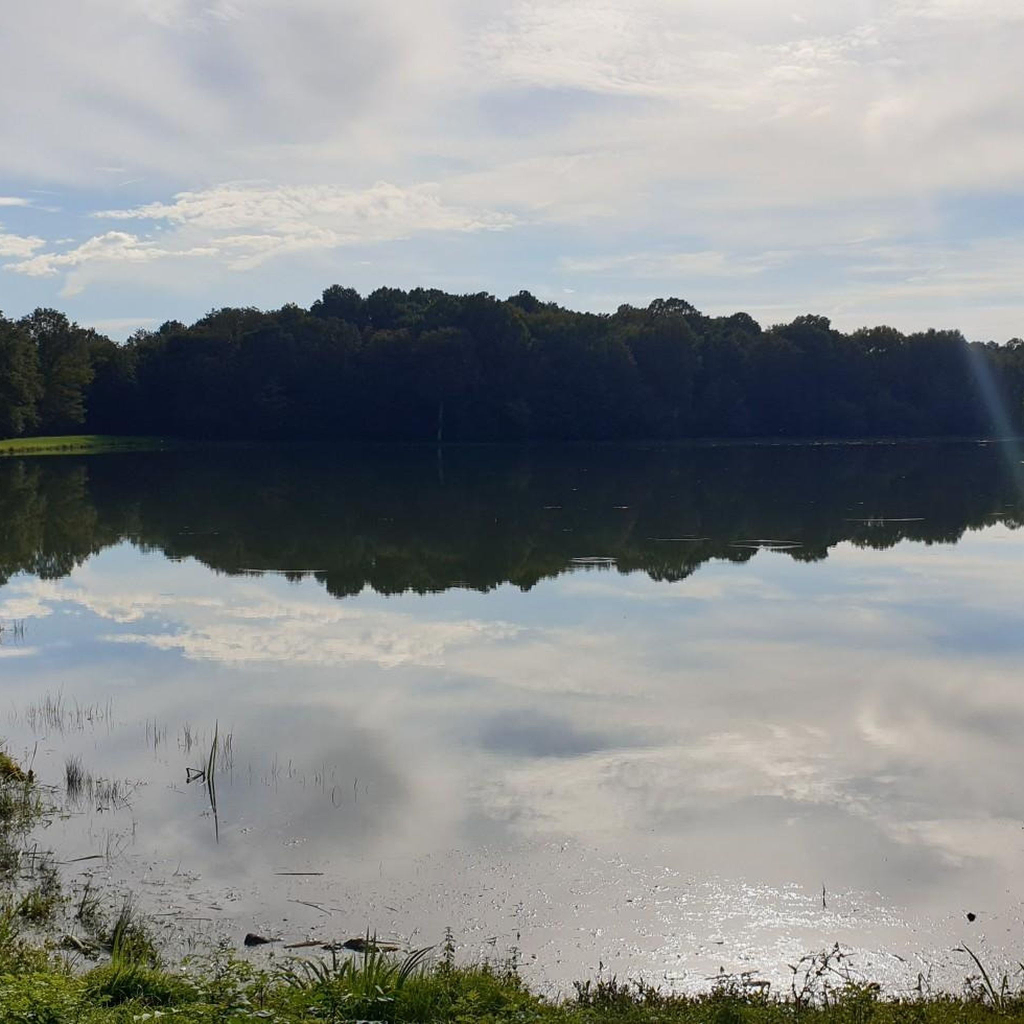
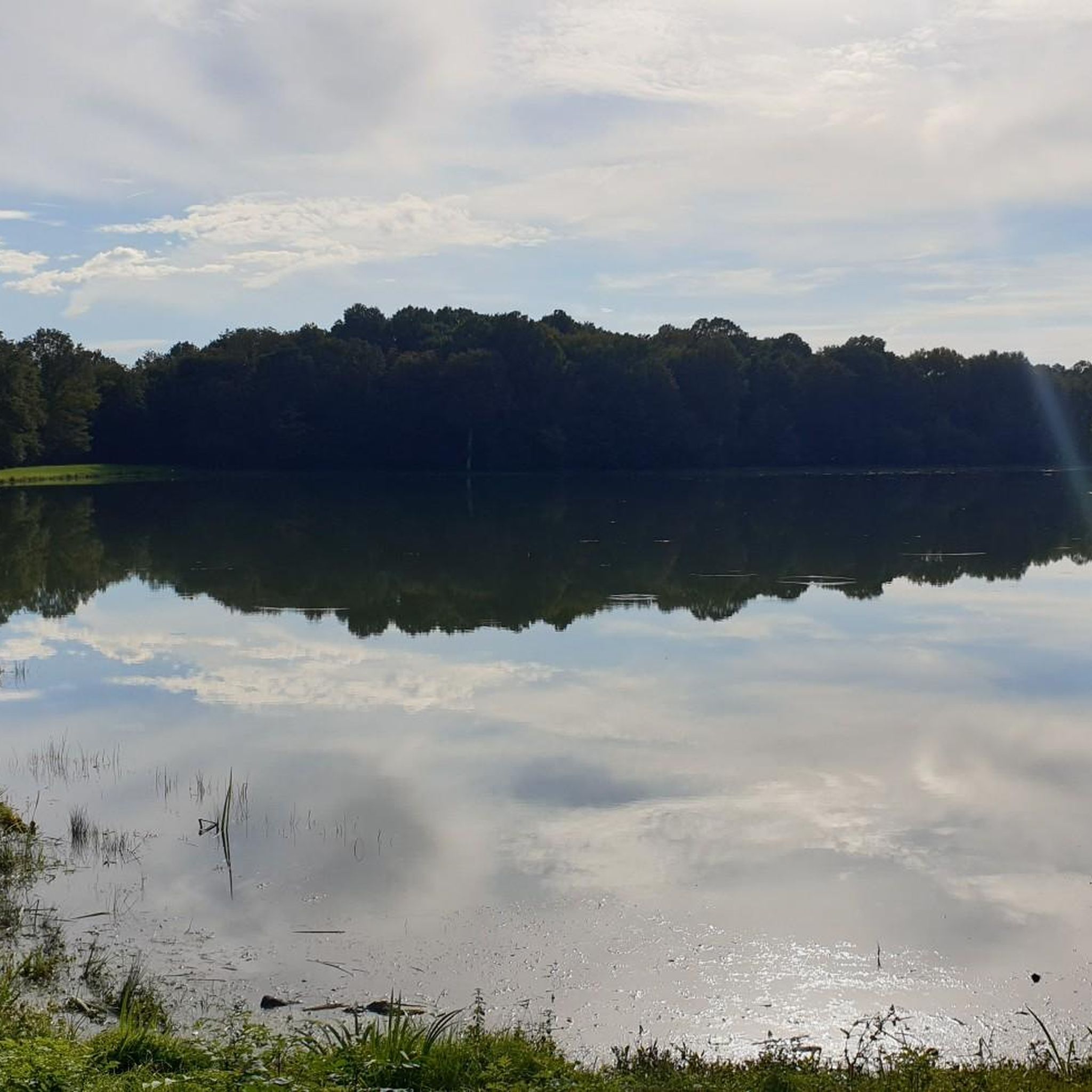
Nice view of the Moulin pond, quiet in an undergrowth of oak trees. You can hear the sound of water flowing in the former Moulin channel.
0
0

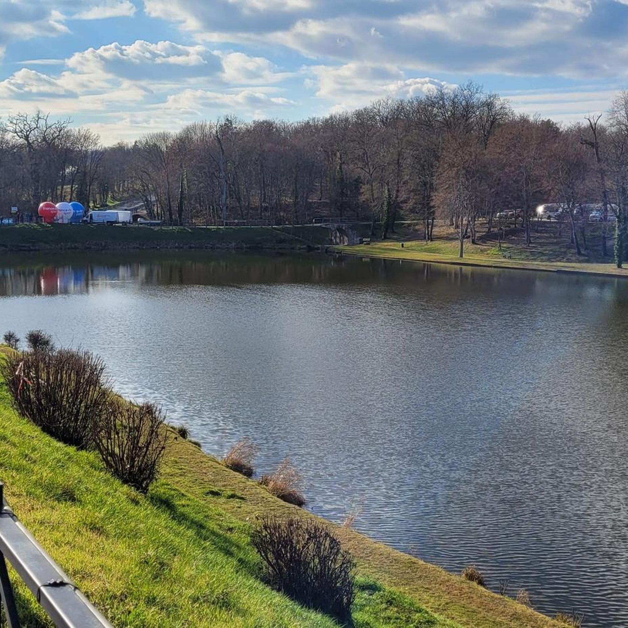
Dampierre-en-Burly has two ponds: the Etang du Bourg to the north and the Etang du Grand Moulin to the south. In their very bucolic setting, both are popular with locals on Sunday walks.
2
0
Built in the 17th century on the base of an old fortification, the castle of Dampierre-en-Burly was completely renovated in the 19th century. Listed as historical monuments since 1928, it retains all its brilliance. However, it is not open to the public.
1
0
Frequently Asked Questions
How many hiking trails are available around Le Moulinet-Sur-Solin?
There are over 35 hiking trails in the Le Moulinet-Sur-Solin area, offering a variety of options for different skill levels. You'll find a good mix of easy and moderate routes.
What kind of terrain can I expect on hikes in Le Moulinet-Sur-Solin?
The region is characterized by generally flat terrain, featuring local ponds and extensive forested areas. Hikers can expect gentle elevation changes, with trails navigating through a mix of open paths and shaded woodlands.
Are there any easy or beginner-friendly hikes in Le Moulinet-Sur-Solin?
Yes, about half of the trails in the area are rated as easy. A good option for beginners or a relaxed stroll is the Étang du Gué l'Évêque loop from Lotissement les Grandes Bruyères, which is just under 6 km long and features minimal elevation gain.
What are some longer hiking options for more experienced walkers?
For those looking for a longer outing, the Butter Cross Trail (PR-E15) offers a moderate 12.4 km path through varied open and wooded terrain. Another extended option is the Dampierre-en-Burly Castle – Étang du Bourg loop from Dampierre-en-Burly, which is about 12.7 km.
Are there any circular walks available in the area?
Many of the trails around Le Moulinet-Sur-Solin are designed as circular routes, allowing you to start and end at the same point. For example, the popular PR du Moulin (K7) — Loop from Dampierre-en-Burly is a 9.5 km circular trail that often passes by local water features.
What can I see along the hiking trails in Le Moulinet-Sur-Solin?
Hikers can enjoy the tranquil local ponds and forested landscapes. Notable attractions include the historic Dampierre-en-Burly Castle and the serene Étang du Bourg. The Étang du Bourg – Dampierre-en-Burly Castle loop from Dampierre-en-Burly specifically leads through pond areas and past historical sites.
Is Le Moulinet-Sur-Solin a good destination for family hikes?
Yes, the gentle terrain and numerous easy trails make Le Moulinet-Sur-Solin suitable for family hikes. Many routes are relatively flat and pass by interesting natural features like ponds, providing an enjoyable experience for all ages.
Are dogs allowed on the hiking trails?
Generally, dogs are welcome on trails in rural France, but it's always advisable to keep them on a leash, especially in forested areas where wildlife may be present, or near private property. Check local signage for any specific restrictions.
What is the best time of year to go hiking in Le Moulinet-Sur-Solin?
Spring and autumn are often ideal for hiking in this region, offering pleasant temperatures and beautiful scenery as the foliage changes. Summer can also be enjoyable, particularly in the shaded woodland sections, but be prepared for warmer weather. Winter hiking is possible, but some paths might be muddy.
Are there any viewpoints or scenic spots along the trails?
While the region is generally flat, the trails offer picturesque views of local ponds and serene forest landscapes. The open sections provide expansive vistas of the surrounding countryside, characteristic of the Loiret department.
What do other hikers say about the trails in Le Moulinet-Sur-Solin?
The trails in Le Moulinet-Sur-Solin are highly regarded by the komoot community, with an average rating of 4.6 stars from over 50 reviews. Hikers often praise the tranquil atmosphere, well-maintained paths, and the pleasant mix of water features and woodlands.
Is parking available at the trailheads?
Parking is generally available in or near the villages and starting points of the trails, such as Dampierre-en-Burly. It's recommended to check specific route details on komoot for designated parking areas.
Can I reach the hiking trails using public transport?
Public transport options to reach specific trailheads in rural areas like Le Moulinet-Sur-Solin can be limited. It's often more convenient to access the trails by car. However, some larger towns nearby might have bus connections, so checking local transport schedules for your specific starting point is recommended.
Most popular routes around Le Moulinet-Sur-Solin
Most popular attractions around Le Moulinet-Sur-Solin

Get inspired with the komoot mobile app


Explore more
Browse the best Hikes in other regions.
