The best walks and hikes around Saint-Hilaire-Les-Andrésis
4.8
(4)
19
hikers
7
hikes
Hiking around Saint-Hilaire-Les-Andrésis offers routes through the diverse landscapes of the Gâtinais region in north-central France. The area is characterized by an altered oceanic climate and is drained by the Cléry river, which features prominently in local trails. Hikers will encounter a mix of ancient woodlands, agricultural areas, and sandstone formations, reflecting the region's "land of a thousand clearings and sandstone" designation. This commune also includes a Natura 2000 site, highlighting its natural patrimony.
Best hiking trails around Saint-Hilaire-Les-Andrésis
- The…
Last updated: July 2, 2026
1
hikers
10.5km
02:42
50m
50m
Moderate hike. Good fitness required. Easily-accessible paths. Suitable for all skill levels.
4.5
(2)
3
hikers
7.10km
01:52
50m
50m
Easy hike. Great for any fitness level. Easily-accessible paths. Suitable for all skill levels.

Sign up for free
5.0
(2)
3
hikers
7.32km
01:52
30m
30m
Easy hike. Great for any fitness level. Easily-accessible paths. Suitable for all skill levels.
4
hikers
10.9km
02:47
30m
30m
Moderate hike. Good fitness required. Easily-accessible paths. Suitable for all skill levels.
1
hikers
7.82km
02:01
30m
30m
Moderate hike. Good fitness required. Easily-accessible paths. Suitable for all skill levels.
Get access to more routes and recommendations from other explorers.
Sign up for free
Already have an account?
Our route recommendations are based on thousands of hikes, rides, and runs completed by other people on komoot.
Start today with a free account
Your next adventure awaits.
Login or Signup
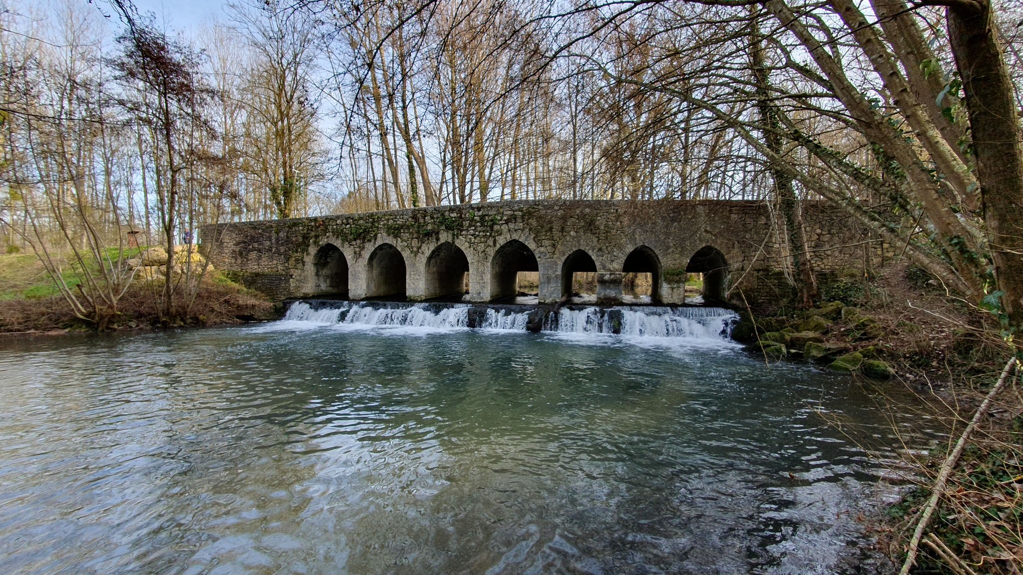
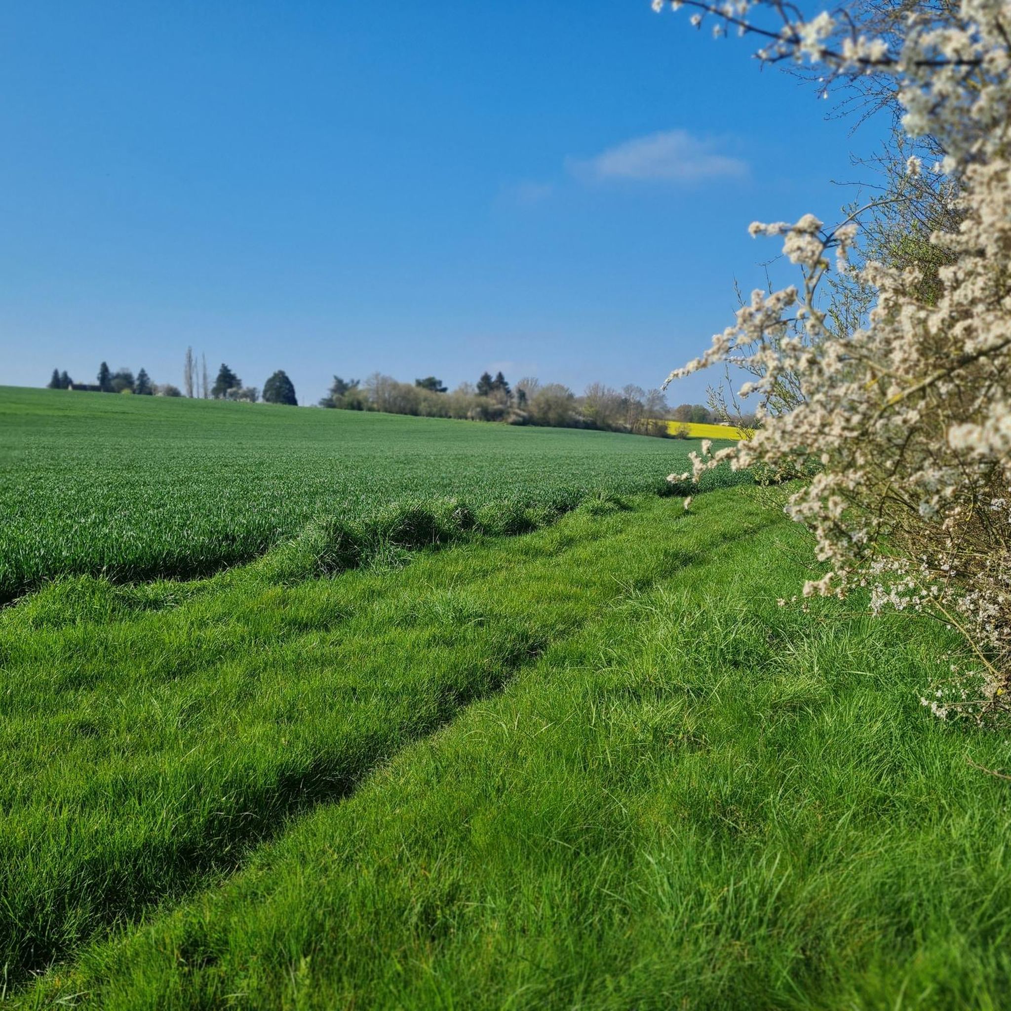

Other adventures around Saint-Hilaire-Les-Andrésis

Tips from the Community

Very pleasant walk.
0
0

Saint Hilaire was a bishop in Poitiers. Quite a badass, he was highly respected and admired in his time. And his fame made him chosen after his death as Patron Saint until now.
0
0

A little history on this Gâtinais oil!
0
0

Oil pump reconstructed here, which tells us that an area of oil was discovered in Gâtinais at the end of the 1950s and is still exploited today.
0
0

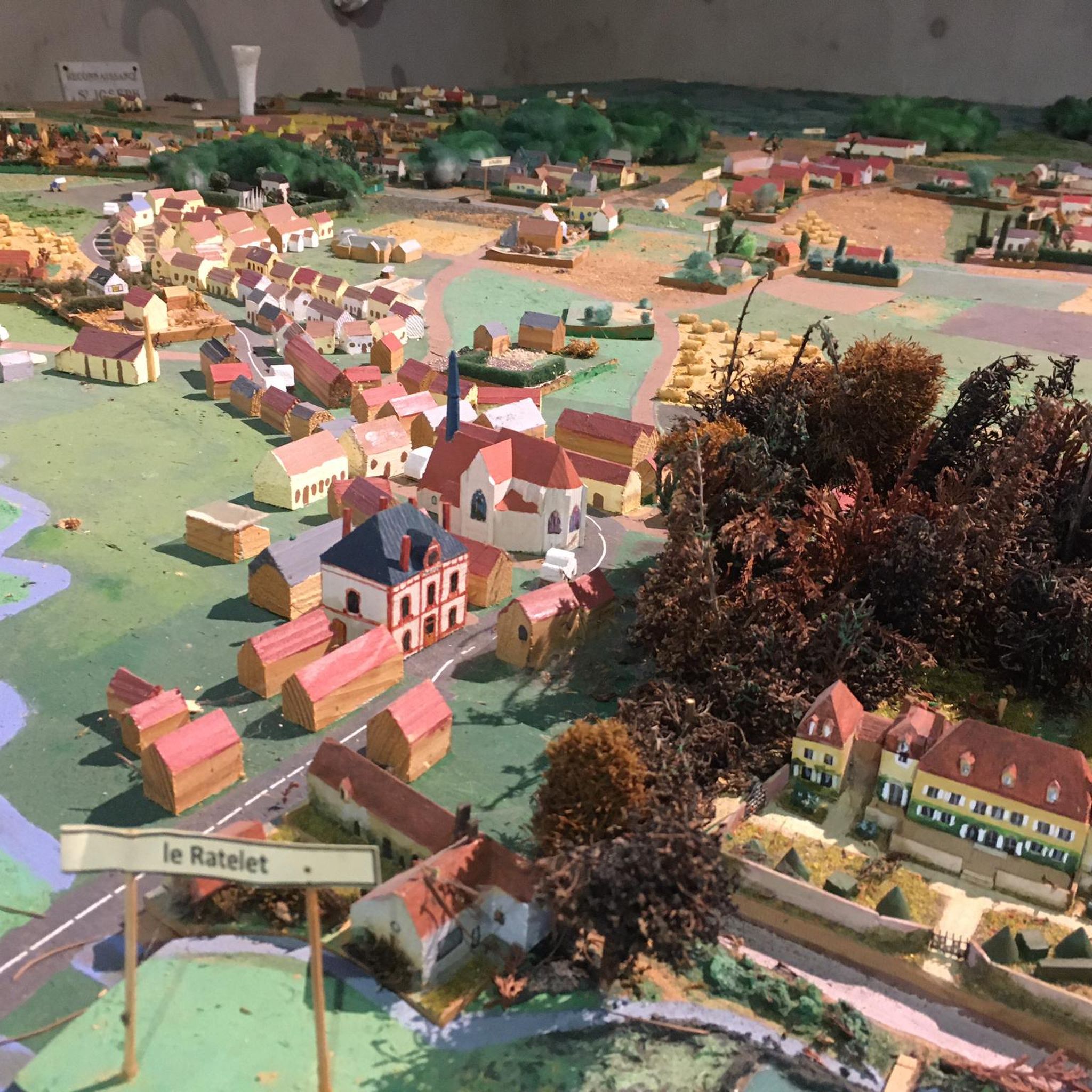
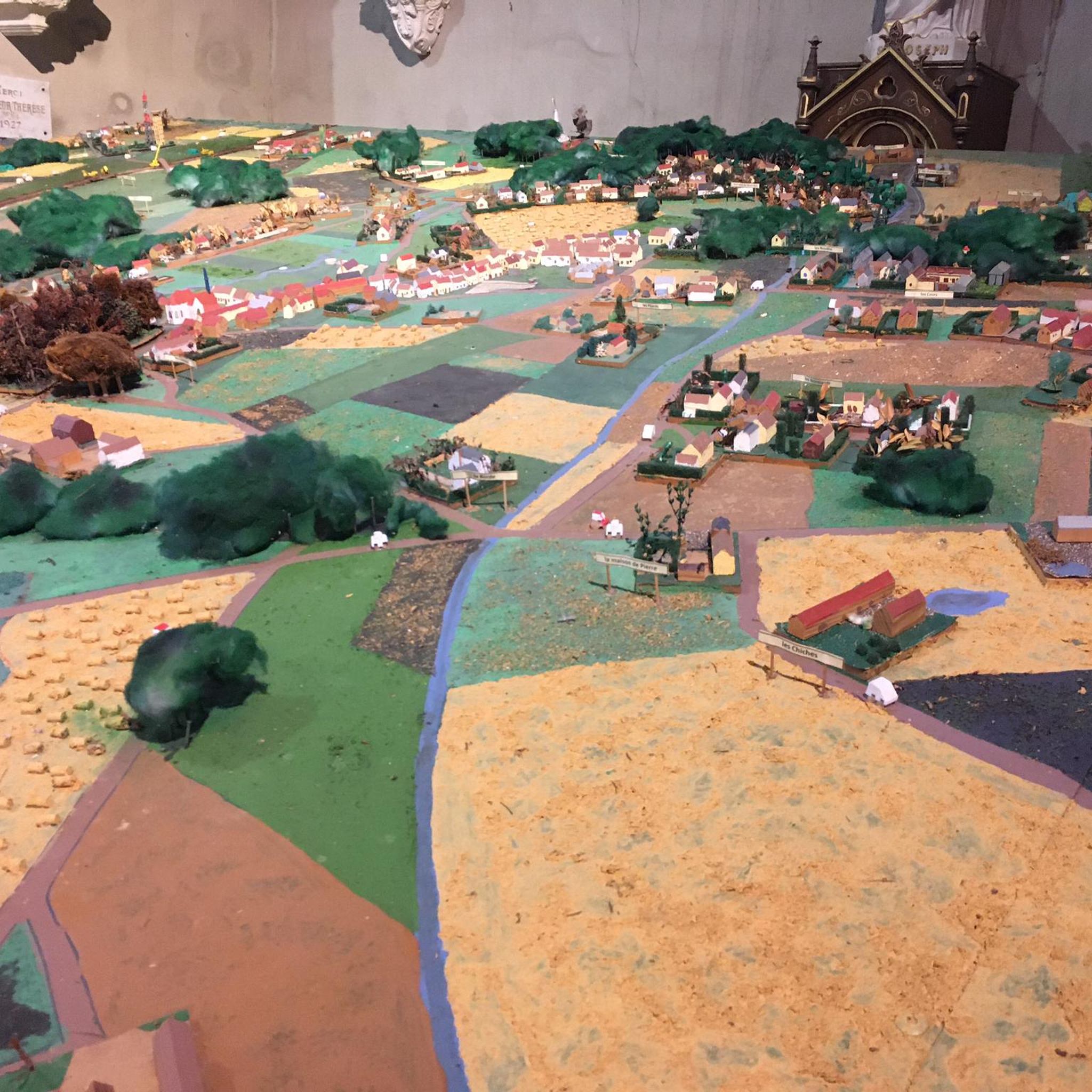
This church deserves a visit for its architecture and its magnificent stained glass windows. Inside, there are sometimes quite interesting exhibits. You will also find a model of the city in miniature.
0
0
Before it was a train station, now it is a large party hall for the few celebrations and village festivals.
0
0
Frequently Asked Questions
How many hiking trails are available around Saint-Hilaire-les-Andrésis?
There are several hiking routes around Saint-Hilaire-les-Andrésis, with komoot listing 5 distinct tours. These range from easy walks to moderate trails, offering a variety of experiences in the region.
What are the typical landscapes I can expect to see while hiking here?
Hiking in Saint-Hilaire-les-Andrésis offers a diverse landscape characteristic of the Gâtinais region. You'll encounter the scenic Cléry river valley, ancient woodlands like the Bois des Liards, Bois des Pradiers, and Bois des Mouches, as well as agricultural areas and unique sandstone formations. The area also includes a Natura 2000 site, highlighting its natural beauty.
What is the best time of year to go hiking in Saint-Hilaire-les-Andrésis?
Given the region's altered oceanic climate, hiking is generally pleasant throughout much of the year. Spring and autumn offer mild temperatures and beautiful scenery, with blooming flora or vibrant fall colors. Summer can be warm but is still suitable for early morning or late afternoon hikes. Winter hikes are also possible, though some paths might be muddy.
Are there options for different hiking abilities?
Yes, the trails around Saint-Hilaire-les-Andrésis cater to various abilities. Komoot lists 3 easy routes and 2 moderate routes. For example, the Hiking loop from Saint-Hilaire-les-Andrésis is an easy 7.1 km path, while the Circuit de l'Or Noir is a moderate 10.5 km trail.
Are there any historical landmarks or natural features to discover on the trails?
Absolutely. The region is rich in points of interest. You can explore the Cléry river valley and its historic mills, such as the Moulin des Bois and Moulin des Andrésis. The Saint-Hilaire Church and village model is a notable landmark. You might also spot the former Courtenay station or the Oil pump, which are part of the local heritage. The The former Courtenay station loop from Courtenay passes by some of these sites.
Can I find circular hiking routes in the area?
Yes, many of the trails are designed as loops, perfect for starting and ending in the same location. Examples include the Hiking loop from Saint-Hilaire-les-Andrésis, the The former Courtenay station loop from Courtenay, and the Château de Courtoin loop from Villeneuve-la-Dondagre.
Are there any long-distance hiking options available?
Yes, the significant GR 132 Long-Distance Hiking Trail traverses the commune of Saint-Hilaire-les-Andrésis, following the course of the Cléry river. This offers opportunities for extended exploration of the wider Gâtinais region for those seeking longer adventures.
Are the hiking trails around Saint-Hilaire-les-Andrésis suitable for families?
Many trails are suitable for families, especially the easier, shorter loops. The Petite Randonnée des Moulins de la Cléry, a 7-kilometer loop, is specifically designed for visitors and takes about 1.5 hours, making it a great family option to discover the Cléry valley and its mills. The Hiking loop from Saint-Hilaire-les-Andrésis is another easy route.
Can I bring my dog on the hiking trails?
Generally, dogs are welcome on hiking trails in rural areas of France, especially if kept on a leash and under control. It's always advisable to check local signage for any specific restrictions, particularly in protected natural areas like the Natura 2000 site. Please ensure you clean up after your pet.
Is there parking available near the trailheads?
For many local trails, parking is typically available in or near the village centers. For instance, the Petite Randonnée des Moulins de la Cléry starts and ends at the village center's Place de l'Eglise, where parking would likely be accessible. For other routes, look for designated parking areas at trailheads or in nearby hamlets.
What do other hikers say about the trails in Saint-Hilaire-les-Andrésis?
The trails in Saint-Hilaire-les-Andrésis are highly rated by the komoot community, with an average score of 4.8 stars from several reviews. Hikers often praise the varied terrain, the peaceful atmosphere of the woodlands, and the scenic beauty of the Cléry river valley.
Most popular routes around Saint-Hilaire-Les-Andrésis
Most popular attractions around Saint-Hilaire-Les-Andrésis

Get inspired with the komoot mobile app


Explore more
Browse the best Hikes in other regions.
