The best walks and hikes around Saint-Michel
4.7
(67)
348
hikers
43
hikes
Hiking around Saint-Michel offers diverse landscapes, from the expansive bay with its dramatic tidal ranges to inland forests and polder areas. The region is characterized by its unique maritime environment, featuring shifting sands and coastal paths, alongside more sheltered routes through woodlands and past ponds. These varied terrains provide a range of experiences for hikers exploring the area surrounding the iconic Mont-Saint-Michel.
Best hiking trails around Saint-Michel
- The most popular hiking route is Circuit de la forêt et de la fontaine Sainte-Radegonde, an 8.2 miles (13.2 km) trail that takes 3 hours 24 minutes to complete. This moderate route explores local forests and features the Sainte-Radegonde fountain.
- Another top favourite among local hikers is PR of the Mails and the Pond, a moderate 5.6 miles (9.0 km) path. This route offers a mix of local paths and pond scenery, ideal for a shorter excursion.
- Local hikers also love the Le Hallier – Caillettes Viewpoint loop from Nibelle, a 7.5 miles (12.1 km) trail leading through varied terrain to a viewpoint, often completed in about 3 hours 7 minutes.
- Hiking around Saint-Michel is defined by its coastal paths, polder areas, and tranquil forest routes. The network offers options for different ability levels, from easy strolls to moderate day hikes.
- The routes in Saint-Michel are highly rated by the komoot community with an average score of 4.76 stars from over 60 reviews. More than 330 hikers have used komoot to explore Saint-Michel's varied terrain.
Last updated: October 7, 2026
5.0
(2)
5
hikers
13.2km
03:25
70m
70m
Moderate hike. Good fitness required. Easily-accessible paths. Suitable for all skill levels.
5.0
(1)
1
hikers
9.04km
02:19
30m
30m
Hike the moderate 5.6-mile PR des Mails et de l'étang loop to discover the historic town of Boiscommun and its charming natural surroundings

4.3
(7)
26
hikers
12.2km
03:08
60m
60m
Moderate hike. Good fitness required. Easily-accessible paths. Suitable for all skill levels.
4.7
(3)
14
hikers
7.21km
01:51
30m
30m
Easy hike. Great for any fitness level. Easily-accessible paths. Suitable for all skill levels.
10
hikers
7.90km
02:02
30m
40m
Moderate hike. Good fitness required. Easily-accessible paths. Suitable for all skill levels.
Get access to more routes and recommendations from other explorers.
Already have an account?
Our route recommendations are based on thousands of hikes, rides, and runs completed by other people on komoot.
Start today with a free account
Your next adventure awaits.


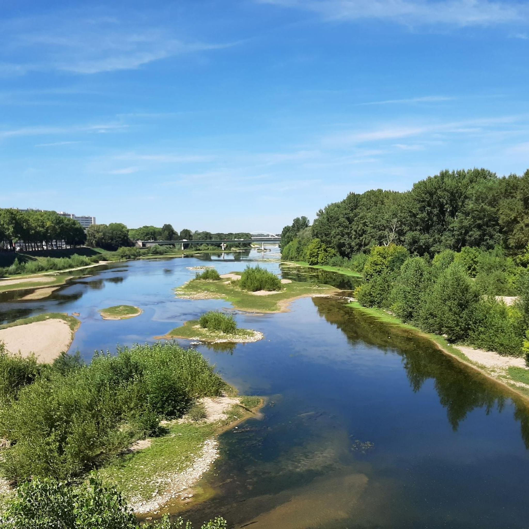
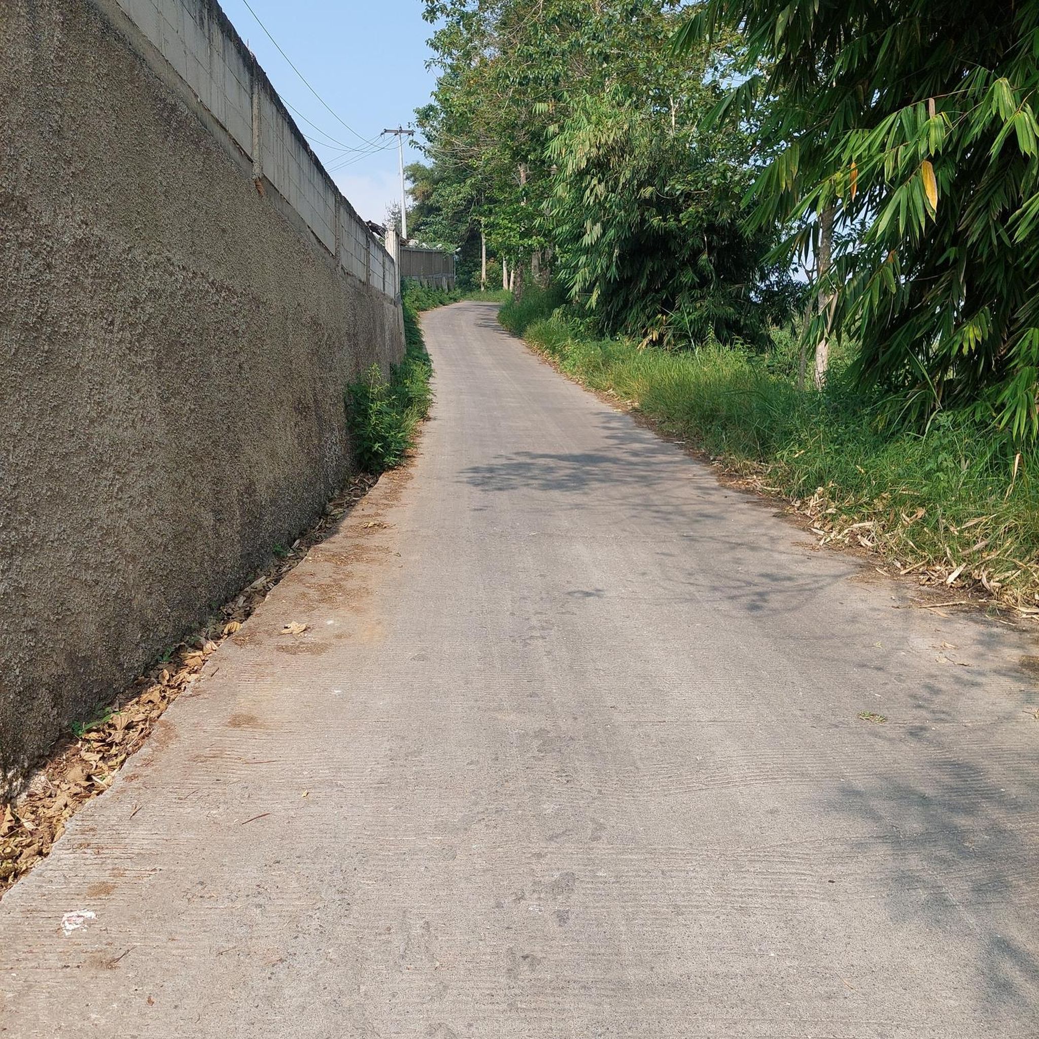
Tips from the Community

These remains, all in all impressive with their red brick and stone curtain walls as well as their ten towers, transport you back to 1544, the date when Hallier Castle was built by Charles de l'Hospital. It is seen as a very good example of transition between the fortified castle and the pleasure residence. Henri IV found Henriette d'Entragues there, his mistress to whom he had made a promise of marriage without ever keeping it. Always linked to the loves of kings, Nibelle, where this castle is located, would take its name from Charles IX, who offered Le Hallier to his mistress saying "Here is your nest, Belle..."
1
0

The Caillettes belvedere is located in the heart of the Ingrannes massif. This 24 meter high lookout tower stands on the Caillettes hill at the highest point of the Orléans forest. It offers a breathtaking view of the entire surrounding massif and the forest canopy. An orientation table allows you to orient yourself when reading the surrounding points of interest.
0
0
Very old cemetery in which we find a certain number of historical remains, notably a Renaissance door, a gallery dating from the 12th or 13th century and the Saint-Lazare chapel which we discover from the street, built in bricks at the beginning of the 16th century (period during which the town of Boiscommun was fortified with brick ramparts).
0
0
Beautiful peaceful pond, perfect for a break while hiking
0
0
Fountain whose origin is today unknown. She takes the name of Radegonde, the wife of Clotaire I (son of Clovis) and therefore queen of Franks, who, it seems, created this source with a kick of her heel.
0
0
Pond whose edges are a little steeper than its neighbor, the Étang à madame. You have to get away from it to be able to go around it completely. Pleasant nearby trails to run.
1
0

A beautiful place to be on the canopy of the forest of Orleans. There are beautiful tracks to discover around.
1
0

private property, the interior cannot be visited but the facade of this fortified house / castle is a nice surprise at the bend of the road.
0
0
Frequently Asked Questions
What kind of terrain can I expect on hiking trails around Saint-Michel?
The hiking trails around Saint-Michel offer a diverse range of terrain. You'll find expansive coastal paths and polder areas, which are generally flat and provide wide-open views. Inland, routes often traverse tranquil forests and pass by ponds. The iconic Bay of Mont-Saint-Michel itself features vast mudflats and salt meadows, though some areas, particularly the bay crossings, involve unique conditions like quicksand and tidal rivers, requiring a certified guide for safety.
Are there any easy hiking trails suitable for beginners or families in Saint-Michel?
Yes, Saint-Michel offers several easy hiking trails perfect for beginners or families. Many routes along river dikes and coastal paths have minimal elevation changes. An excellent option is the Étang à Madame – Monsieur Pond loop from Chambon-la-Forêt, which is an easy 7.3 km path that takes about 1 hour 52 minutes to complete. Overall, 18 of the 40 routes in the area are rated as easy.
What natural features can I expect to see on hikes around Saint-Michel?
Hikes around Saint-Michel are rich in natural features. You'll encounter the dramatic tidal bay with its vast mudflats and salt meadows, home to diverse bird species. The region is famous for its extreme tides, which transform the landscape daily. Inland, you can explore tranquil forests, observe ponds, and follow the course of rivers like the Couesnon. Some routes also feature unique geological elements like quicksand, particularly within the bay, which should only be explored with a certified guide.
Are there any circular hiking routes in Saint-Michel?
Yes, many of the trails around Saint-Michel are circular, allowing you to start and finish at the same point. For example, the Le Hallier – Caillettes Viewpoint loop from Nibelle is a moderate 12.1 km trail that offers varied terrain and a viewpoint. Another great circular option is the Circuit de la forêt et de la fontaine Sainte-Radegonde, a 13.2 km moderate loop through local forests.
What landmarks or points of interest can I see along the hiking trails?
Beyond the iconic Mont-Saint-Michel itself, hiking trails in the region offer glimpses of various landmarks and points of interest. You might encounter historical sites like the Saint Lubin Chapel or impressive castles such as Yèvre-le-Châtel, Château de Bellegarde, and Château de Courcelles-le-Roi. Many routes also pass by beautiful natural spots like the Étang à Madame et Monsieur lake.
What is the best time of year to go hiking in Saint-Michel?
The Bay of Mont-Saint-Michel is renowned for having some of the highest tides in Europe, with amplitudes that can reach up to 15 meters. This dramatic natural event transforms the landscape daily, revealing vast stretches of sand at low tide and surrounding the Mont with water at high tide. Witnessing the rising tide, also known as the tidal bore, is a notable experience for hikers. For the most comfortable hiking conditions, spring and autumn generally offer pleasant temperatures and fewer crowds. However, the unique tidal phenomena make any season interesting.
Are there any specific safety considerations for hiking in the Saint-Michel area?
Yes, especially if you plan to explore the Bay of Mont-Saint-Michel. The bay features areas of quicksand and rapidly incoming tides, which can be dangerous. It is crucial to undertake any bay crossings with a certified guide. For general trails, ensure you check local weather conditions, especially tide times if you are near the coast, and wear appropriate footwear.
What do other hikers enjoy most about hiking in Saint-Michel?
The komoot community highly rates the hiking experience in Saint-Michel, with an average score of 4.77 stars from over 60 reviews. Hikers often praise the diverse landscapes, from the unique maritime environment of the bay to the tranquil inland forests. The well-maintained paths and the opportunity to witness the dramatic tidal changes are frequently highlighted as memorable aspects of the trails.
How many hiking trails are available in the Saint-Michel region?
There are over 40 hiking trails available in the Saint-Michel region, offering a wide variety of experiences. These include 18 easy routes and 22 moderate routes, ensuring options for different fitness levels and preferences.
Can I find routes that follow historical pilgrimage paths in Saint-Michel?
Yes, Saint-Michel is historically significant as a pilgrimage destination. Several historical hiking trails, known as "Chemins du Mont-Saint-Michel," converge on the Mont. These routes allow hikers to follow in the footsteps of ancient pilgrims, known as "miquelots," offering a blend of natural beauty and cultural heritage. For more information on these routes, you can consult resources like Manche Tourisme.
Are there any routes that offer panoramic views of Mont-Saint-Michel?
While specific routes with dedicated viewpoints are not detailed in the provided data, the region research indicates that trails such as the panoramic hike from the tip of Grouin du Sud offer stunning views of the Bay of Mont-Saint-Michel and the salt meadows. Many coastal paths and river dikes also provide expansive vistas of the iconic Mont, especially during different tidal states.
Most popular attractions around Saint-Michel

Get inspired with the komoot mobile app


Explore more
Browse the best Hikes in other regions.
