The best walks and hikes around Argelès-Bagnères
4.5
(477)
3,419
hikers
123
hikes
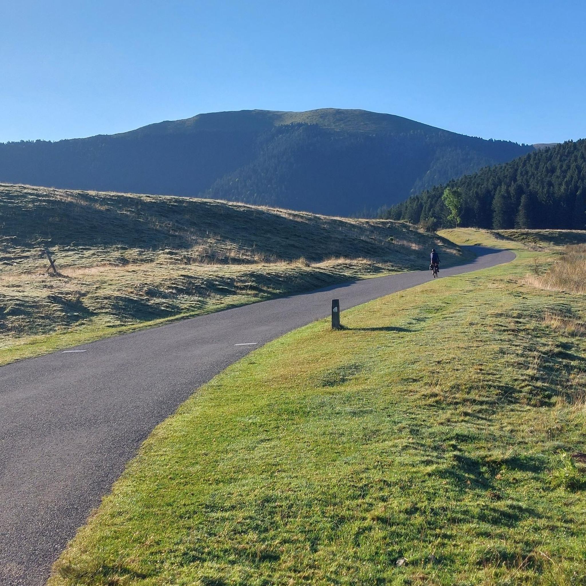
Hiking around Argelès-Bagnères offers access to the diverse landscapes of the French Pyrenees, characterized by majestic mountain ranges, deep glacial valleys, and cirques. The region features a mix of dense forests, lush alpine meadows, and numerous high-altitude lakes and waterfalls. Terrain varies from gentle valley paths to challenging ascents towards prominent peaks like the Pic du Midi de Bigorre.
Best hiking trails around Argelès-Bagnères
- The most popular hiking route is Hike of Bagnères-de-Bigorres, a 9.4 miles (15.2 km) trail that takes 4 hours 53 minutes to complete, exploring the valleys and foothills around Bagnères-de-Bigorre.
- Another top favourite among local hikers is Lheris Helmet Peak – Palomières Pass loop from Gerde, a difficult 10.2 miles (16.4 km) path, ascending to mountain passes with panoramic views.
- Local hikers also love the Kkkk loop from Pouzac, a 4.6 miles (7.4 km) trail leading through wooded hills and offering valley views, often completed in about 2 hours 16 minutes.
- Hiking around Argelès-Bagnères is defined by Pyrenean peaks, glacial valleys, and alpine meadows. The extensive network of routes offers options for various ability levels, from easy walks to challenging multi-day treks.
- The routes in Argelès-Bagnères are highly rated by the komoot community with an average score of 4.6 stars from over 400 reviews. More than 3000 hikers have used komoot to explore Argelès-Bagnères's varied terrain.
Last updated: July 4, 2026
3
hikers
15.2km
04:53
590m
590m
Moderate hike. Good fitness required. Mostly accessible paths. Sure-footedness required.
5.0
(4)
133
hikers
16.4km
05:49
780m
780m
Hard hike. Very good fitness required. Mostly accessible paths. Sure-footedness required.

Sign up for free
4.7
(10)
74
hikers
7.44km
02:16
250m
250m
Moderate hike. Good fitness required. Easily-accessible paths. Suitable for all skill levels.
4.9
(7)
100
hikers
Hard hike. Very good fitness required. Mostly accessible paths. Sure-footedness required.
5.0
(4)
34
hikers
12.8km
04:01
480m
480m
Moderate hike. Good fitness required. Easily-accessible paths. Suitable for all skill levels.
Get access to more routes and recommendations from other explorers.
Sign up for free
Already have an account?
Our route recommendations are based on thousands of hikes, rides, and runs completed by other people on komoot.
Start today with a free account
Your next adventure awaits.
Login or Signup



Tips from the Community

Superb, very beautiful view over the plain, Tarbes, Pau, ...
0
0

Beautiful pavilion in the park, which is a great, airy place to relax
1
0


Very beautiful view of the Campan valley, and in the distance to the east the castle of Mauvezin, Tarbes...
2
0


Small road pass, at an altitude of 810 meters, which allows entry into the Pyrenees Baronnies from Bagnères-de-Bigorre. Little borrowed, with a beautiful coating.
2
0

another way to relax
0
0
she must have drunk too much 🤣
0
1
Frequently Asked Questions
How many hiking trails are available in the Argelès-Bagnères region?
There are over 120 hiking routes documented on komoot for the Argelès-Bagnères region, offering a wide range of experiences from easy strolls to challenging mountain treks. This extensive network allows hikers to explore the diverse landscapes of the French Pyrenees.
What kind of terrain can I expect on hikes around Argelès-Bagnères?
The terrain around Argelès-Bagnères is incredibly varied, reflecting its location in the Pyrenees. You can expect majestic mountain ranges, deep glacial valleys, and cirques. Trails traverse dense forests, lush alpine meadows, and lead to numerous high-altitude lakes and spectacular waterfalls. The region offers everything from gentle valley paths to challenging ascents towards prominent peaks like the Pic du Midi de Bigorre.
Are there family-friendly hiking options in Argelès-Bagnères?
Yes, the region offers many trails suitable for families. While specific routes aren't detailed here, the area is known for its variety, including gentle walks along riverbanks and through lower-altitude forests that are perfect for all ages. Look for routes marked as 'easy' on komoot for suitable options.
Can I bring my dog on the hiking trails in Argelès-Bagnères?
Many trails in the broader Pyrenean region are dog-friendly, but it's crucial to check local regulations, especially when hiking near or within the Pyrénées National Park, where dogs may be restricted or required to be on a leash to protect wildlife. Always ensure your dog is well-behaved and under control.
Are there any circular hiking routes in the area?
Yes, many routes in the Argelès-Bagnères region are designed as circular loops, allowing you to start and finish at the same point. An example is the Kkkk loop from Pouzac, which takes you through wooded hills with valley views. Komoot's route planner can help you find more circular options.
What are some notable natural landmarks or viewpoints to see while hiking?
The region is rich in natural wonders. Hikers can access areas near the famous Cirque de Gavarnie, a UNESCO World Heritage site with its towering cliffs and Europe's second-highest waterfall. Other highlights include the picturesque Pont d'Espagne, a gateway to trails leading to Lac de Gaube, and the stunning panoramas from the Palomières Pass or the visible Pic du Midi de Bigorre.
What is the best time of year to go hiking in Argelès-Bagnères?
The best time for hiking largely depends on the altitude and your preferred activity. Spring and summer (May to September) offer pleasant weather for high-altitude trails and alpine meadows. Autumn brings beautiful foliage. While some high-altitude trails may be inaccessible in winter due to snow, many lower-altitude routes remain open, with options for snowshoeing in colder months.
Are there challenging hikes for experienced trekkers?
Absolutely. The Argelès-Bagnères region offers 16 difficult routes for experienced hikers. For example, the Lheris Helmet Peak – Palomières Pass loop from Gerde is a challenging 10.2-mile (16.4 km) path ascending to mountain passes with panoramic views. Another demanding option is the Entrance to the Vallon du Salut – Le Petit Monné loop from Bagnères-de-Bigorre.
What do other hikers enjoy most about hiking in Argelès-Bagnères?
The area is highly rated by the komoot community, with an average score of 4.6 stars from over 400 reviews. Reviewers often praise the stunning Pyrenean peaks, the diverse landscapes ranging from glacial valleys to alpine meadows, and the extensive network of well-maintained trails that cater to various ability levels.
Are there any easy hikes suitable for beginners?
Yes, there are 34 easy routes available in the Argelès-Bagnères region, perfect for beginners or those looking for a relaxed walk. These trails often follow riverbanks or wind through gentle wooded hills, providing accessible ways to enjoy the natural beauty without significant elevation gain.
Are there places to eat or stay near the hiking trails?
The towns of Argelès-Gazost and Bagnères-de-Bigorre, which define this broader region, offer various amenities. You'll find cafes, restaurants, and accommodation options in these charming centers. Bagnères-de-Bigorre is also known for its thermal waters, providing a relaxing end to a day of hiking.
Is public transport available to access hiking trailheads?
While specific public transport links directly to every trailhead can vary, the main towns in the region, such as Argelès-Gazost and Bagnères-de-Bigorre, are generally well-served by local bus networks. These can often get you close to popular starting points. It's advisable to check local transport schedules for specific routes and destinations.
Are there any waterfalls to see on the hikes?
Yes, the Pyrenean landscape is dotted with spectacular waterfalls. The most famous is the Gavarnie Falls within the Cirque de Gavarnie, which is Europe's second-highest waterfall. Many other trails will lead you past smaller, equally beautiful cascades, especially during spring when snowmelt is high.
Most popular routes around Argelès-Bagnères
Most popular attractions around Argelès-Bagnères

Get inspired with the komoot mobile app


Explore more
Browse the best Hikes in other regions.
