The best road cycling routes around La Guyonnière
4.2
(109)
2,610
riders
485
rides
Road cycling around La Guyonnière offers diverse landscapes in the Vendée department of western France. The region features generally flat terrain closer to the coast, transitioning to an undulating and sometimes hilly environment inland, known as the bocage vendéen. This area is characterized by green, wooded sections, valleys, and rivers, providing varied topography for cyclists. Key natural features include Lac du Jaunay and Lac de la Bultière, both offering routes with serene water views.
Best road cycling routes around La…
Last updated: July 2, 2026
4.6
(5)
30
riders
49.1km
02:06
270m
270m
Moderate road ride. Good fitness required. Mostly well-paved surfaces and easy to ride.
18
riders
64.6km
02:38
360m
360m
Moderate road ride. Good fitness required. Mostly well-paved surfaces and easy to ride.

Sign up for free
19
riders
72.2km
02:58
390m
390m
Moderate road ride. Good fitness required. Mostly well-paved surfaces and easy to ride.
4.3
(4)
12
riders
Moderate road ride. Good fitness required. Mostly well-paved surfaces and easy to ride.
14
riders
80.3km
03:44
440m
440m
Moderate road ride. Good fitness required. Mostly well-paved surfaces and easy to ride.
Get access to more routes and recommendations from other explorers.
Sign up for free
Already have an account?
Our route recommendations are based on thousands of hikes, rides, and runs completed by other people on komoot.
Start today with a free account
Your next adventure awaits.
Login or Signup

Tips from the Community

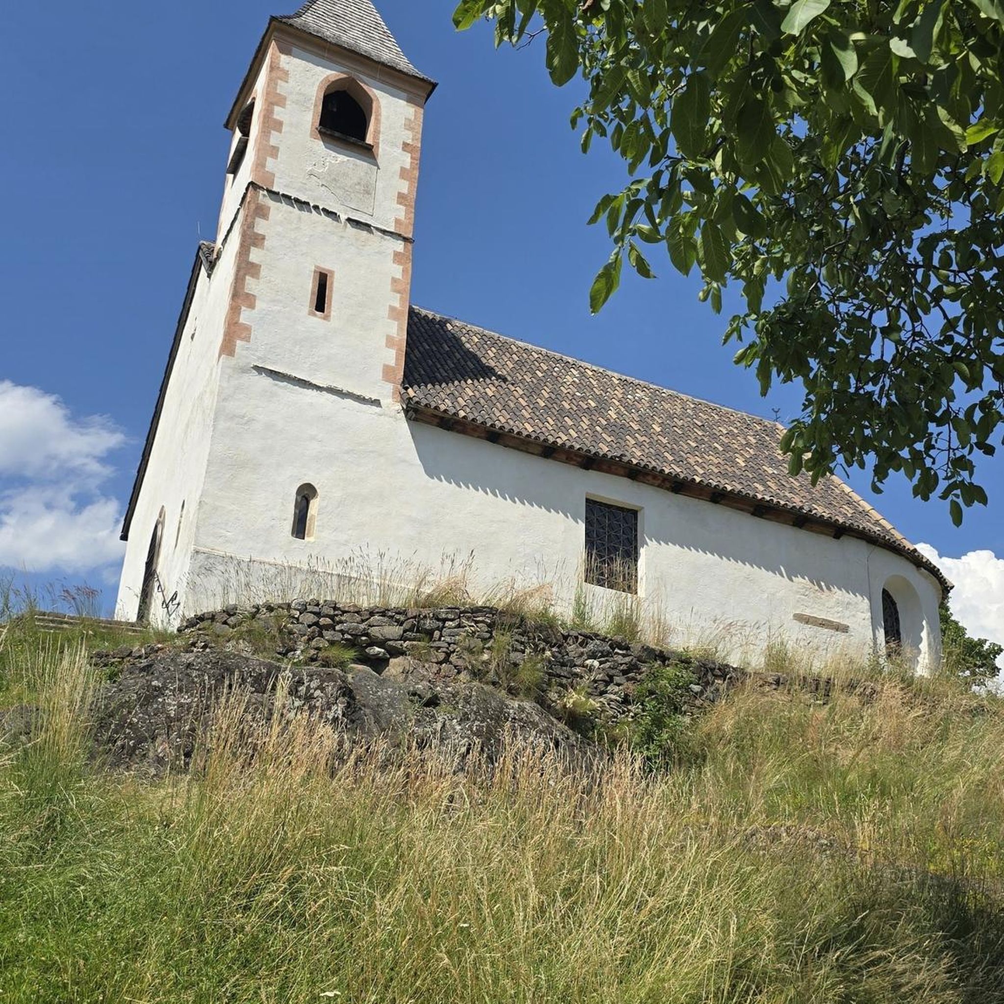
19th century church whose unfinished bell tower was topped with a slate spire which clashes a little - a lot - with the rest of the monument.
0
0
It was here, in wooden huts, that the civilian population fled General Turreau's infernal columns. From the road, you can't see much, but the visit seems interesting. A pretty pond is nearby with picnic tables and a small bar serving drinks and ice cream.
0
0

Bultière Lake is an artificial reservoir. The Bultière Dam was built in 1994. It is located in the commune of Chavagne en paillers. It supplies the drinking water network. Its surface area is 72 hectares and contains 5.2 million cubic meters of water. It is possible to walk around the lake via a 15-km trail. This lake, with its exceptionally rich fish population, awaits you with almost every type of fish (perch, pike, zander, catfish, carp, roach, bream, tench, etc.). You can go predator fishing from the shore or from a boat to catch zander, pike, and catfish. It is, of course, possible to still fish for roach, bleak, or bream. Carp are also present in this lake. A night carp fishing route located on the right bank in the Maurosière sector will delight those who love a good catch.
0
0
. Originally, there was an ovoid-shaped enclosure flanked by about ten towers and a gatehouse, located to the northeast. The fortified town was located to the north of the fortress and extended a little to the east. A dry moat separated the fortified town from the fortress. A barbican protected the gatehouse. A Romanesque keep of the Niort type, with its courtyard and small enclosure, was located in the castle courtyard, roughly in the middle in the north-south direction and located to the west. The fortified city extended from the rue de Gaulle, a gate was located at the level of the Carré de l'Europe (the porte de Nantes), then the ramparts continued along the rue de la Place du Champ de Foire, then went back down the Esplanade des Olivettes, where a gate was located towards the roundabout of the rue des Jardins (porte de Tiffauges) then the ramparts ran along the Asson to go up the rue du Pont Jarlet and around the barbican not far from the Presbytery The dry moats surrounding the city were 16 meters deep in the 15th century, today they are flowered and are the subject of different colored squares decorating this part of the ramparts.
0
0
In the 9th century, a castrum, a wooden castle built on a mound of earth, was built to counter the Viking raids that had previously sacked the city of Durivum (Saint-Georges-de-Montaigu). For strategic reasons, this fortress was built on a rocky spur at the junction between the Maine and Asson rivers. Maurice I of Montaigu, the first known lord, witnessed the consecration of the church of Saint-Nicolas de la Chaize-le-Vicomte in 1099. His successor until 1174 was Brient I of Commequiers, married to his daughter, Agathe de Montaigu. Later, his grandchildren, Brient II, Maurice II "the Younger," and Marguerite, succeeded him. It was perhaps this Brient II who had the Romanesque keep built in 1218, a large square tower with flat corner towers. He also removed the wooden palisade, replacing it with a wide moat extending to the Saint-Georges Gate. The Montagues (also known as Belleville by marriage around 1180) pledged allegiance to the Plantagenets, Henry II, Richard the Lionheart, and John Lackland. Margaret of Belleville-Montaigu, daughter of Brient de Montaigu and Agnes de Belleville, granddaughter of Maurice I de Montaigu, sister of Maurice II de Belleville-Montaigu, married Hugh of Thouars in 1203. In 1227, the couple submitted to Philip Augustus through the ceremony of homage. Hugh of Thouars died in 1229, and Margaret remarried in 1235 to the Duke of Brittany, Mauclerc, whose real name was Pierre de Dreux. Marguerite de Montaigu died in 1241, childless. The lordship of Montaigu fell to her nephew, Maurice III de Belleville-Montaigu (d. c. 1297; son of Maurice II). He became lord of Montaigu upon the death of Mauclerc in 1250[2], and his son Maurice IV (d. c. 1292) ensured the succession through his children Jeanne (d. 1284 Geoffroy II David de La Flocellière) and Maurice V de Belleville-Montaigu (he married 1° Sibylle, daughter of Geoffroy VI de Châteaubriant, then 2° Isabelle/Létice de Parthenay, daughter of Guillaume V Larchevêque de Parthenay). Jeanne de Belleville (c. 1300-c. 1359), daughter of Maurice V of Montaigu and Létice of Parthenay, married Olivier IV of Clisson for the second time in 1328. Olivier IV was executed by beheading after being suspected of "felony" against the English, during the Hundred Years' War. Jeanne became a privateer with her children Olivier V and Jeanne de Clisson, in revenge, and was banished from the kingdom of France. While she attacked French ships, the fortress of Montaigu was held by the English, according to the Treaty of Brétigny-Calais, a garrison of which engaged in pillaging the surrounding area. Jeanne lost her ship and withdrew with her children to England. Olivier V, having grown up, rallied to the king of France, recovered his property in 1362 and fought the English with Bertrand du Guesclin. In 1373, Olivier and Bertrand succeeded in driving the English out of Montaigu, and Olivier ceded the lordship to his sister Jeanne, who had married an English captain, Jean Harpedenne. The latter sided with the King of France in 1373 and became Jean de Belleville. His grandson, Jean III, married Charles VII's half-sister, Marguerite de Valois, in 1433. Louis I de Belleville succeeded Jean III. King Louis XI advised him to fortify the town between 1464 and 1468 to protect it from the Bretons.
0
0
The church of Saint-Georges-de-Montaigu, in Vendée, Pays de la Loire, is part of the parish of Saint Martin de Montaigu in the deanery of Montaigu in the diocese of Luçon. In many regions, Saint George is considered the patron saint of knights, particularly thanks to the legend recounting his miraculous intervention in Antioch during the First Crusade. June 15, 2012
0
0
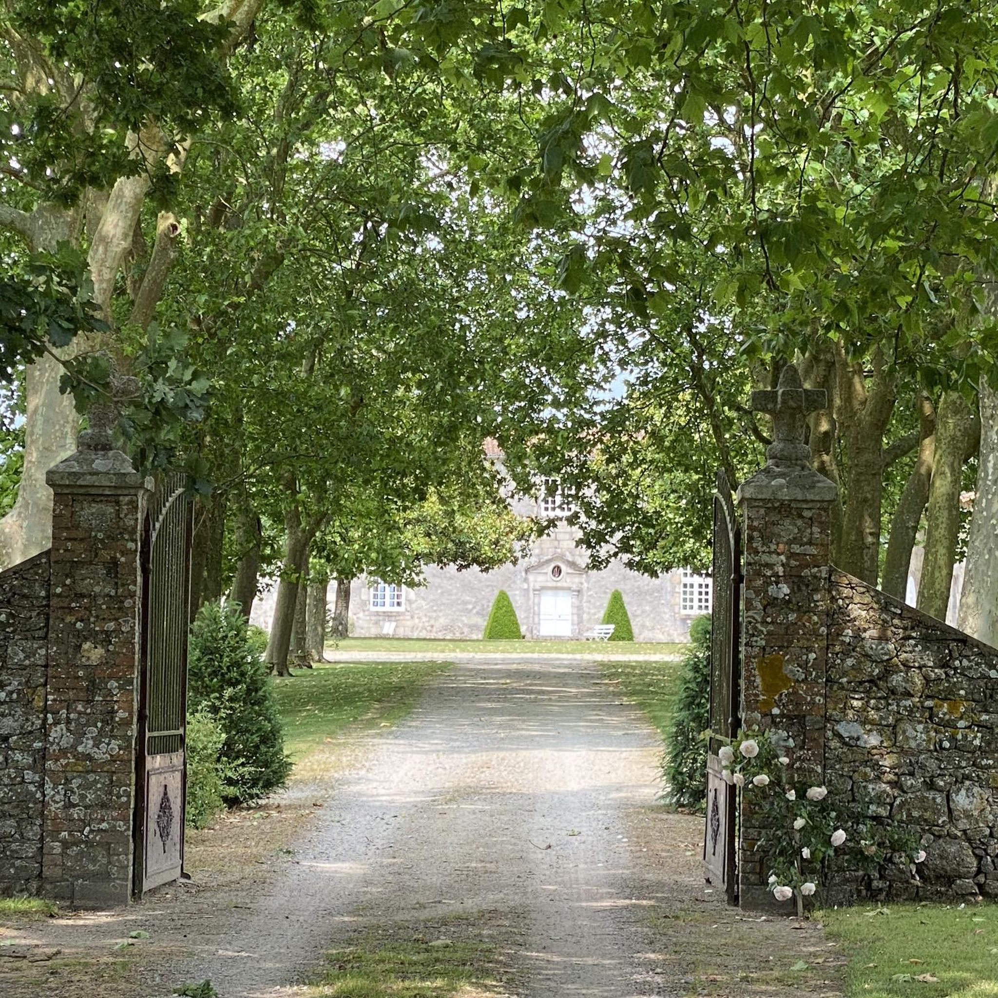
We stayed at the Durivum during this trip. This renovated house offers five spacious and bright bedrooms, featuring high-end bedding and hotel-like amenities. In addition, a small apartment for two people, located on the other side of the interior courtyard, allows you to feel right at home. To relax, a wellness area (private use €20/hour) equipped with a jacuzzi, a traditional sauna, a bathroom, a lounge with a billiards table is available year-round, as is the swimming pool, but only during peak season. Contact them directly; they are very friendly and attentive. 07 52 06 84 03
0
0
Another beautiful site on the Sèvre Nantaise, with the unusual feature this time: it's not only at the crossroads of three departments (LA, Vendée, and M&L), a rather common occurrence, but also of three former provinces: Brittany, Poitou, and Anjou. The crossroads is formed by the Sèvre on one side and its tributary, the Bon Débit, on the other. The inn of the same name looks very nice; in any case, the setting is splendid.
0
0
Frequently Asked Questions
How many road cycling routes are available around La Guyonnière?
There are over 480 road cycling routes around La Guyonnière, offering a wide variety of options for all skill levels. This includes more than 100 easy routes, 370 moderate routes, and a few challenging options for experienced cyclists.
What kind of terrain can I expect when road cycling in La Guyonnière?
Road cycling in La Guyonnière offers diverse terrain. While areas closer to the coast are generally flat, the inland 'bocage vendéen' features an undulating and sometimes hilly environment with green, wooded sections, valleys, and rivers. This mix allows for both relaxed rides and more challenging routes with short climbs.
When is the best time of year to go road cycling in La Guyonnière?
The Vendée region, including La Guyonnière, is pleasant for cycling from spring through autumn. Summer offers warm weather ideal for longer rides, while spring and early autumn provide milder temperatures and beautiful scenery, making them excellent choices for exploring the extensive network of cycle paths.
Are there road cycling routes suitable for beginners in La Guyonnière?
Yes, La Guyonnière offers over 100 easy road cycling routes. These often feature flatter terrain, especially around natural features like Lac du Jaunay and Lac de la Bultière, providing a gentle introduction to the region's beautiful landscapes.
What natural features or landmarks can I see along road cycling routes in La Guyonnière?
Many routes pass by significant natural features and landmarks. You can cycle around Lac de la Bultière, enjoy views of Lac du Jaunay, or traverse the characteristic hedgerow landscape of the Vendée Bocage. Historical sites like the Montaigu Castle and the Tiffauges Castle are also accessible on some routes.
Are there any historical sites to visit while cycling in the area?
Absolutely. You can integrate visits to several historical sites into your rides. For instance, the route Grasla Refuge – Château and Étang d'Asson loop from Treize-Septiers passes by the historic Grasla Refuge and Château d'Asson. Another route, Pont Sainte-Radegonde – Montaigu Castle loop from Treize-Septiers, takes you near the impressive Montaigu Castle.
Are there family-friendly road cycling options in La Guyonnière?
Yes, the region is well-suited for family cycling. Many routes are relatively flat, especially around the lakes, and the extensive network of cycle paths ensures a safe and enjoyable experience. The 'Accueil Vélo' label in the Vendée indicates services tailored for cyclists, including families.
Can I find circular road cycling routes around La Guyonnière?
Most road cycling routes around La Guyonnière are designed as loops, allowing you to start and end at the same point. For example, the popular Lac de la Bultière – Château and Étang d'Asson loop from Treize-Septiers is a moderate 49 km circular route that circles the lake.
Where can I find parking for road cycling routes in La Guyonnière?
As part of the 'Accueil Vélo' program, the region is cyclist-friendly, and many local establishments, including campsites, offer services like secure bike storage. You can typically find parking in or near villages that serve as starting points for routes, such as Treize-Septiers, which is a common starting point for several loops.
Are there cafes or places to stop for refreshments along the road cycling routes?
Yes, many routes wind through charming villages where you can find local cafes, bakeries, or small shops to refuel. The 'Accueil Vélo' label also ensures that many establishments cater to cyclists, making it easy to find a spot for a break.
What do other road cyclists enjoy the most about road cycling in La Guyonnière?
The area is highly rated by the komoot community, with an average score of 4.2 stars from over 100 reviews. Cyclists often praise the diverse landscapes, from the serene lake views to the undulating bocage, and the well-maintained, quiet roads that offer a peaceful cycling experience.
Are there any longer road cycling routes for experienced riders near La Guyonnière?
For experienced riders seeking longer distances, routes like the Menhir of La Petite Roche loop from Treize-Septiers offer a substantial challenge, covering over 71 km with significant elevation gain. The region also connects to parts of the 700 km Vendée Vélo Tour for even more extensive rides.
Most popular routes around La Guyonnière
Most popular attractions around La Guyonnière

Get inspired with the komoot mobile app


Explore more
Browse the best Road cycling routes in other regions.
