The best mountain hikes around Biriatou
5.0
(4)
12
hikers
4
hikes
Mountaineering around Biriatou offers access to the western Pyrenees, characterized by rugged mountain terrain, diverse landscapes, and the scenic Bidassoa valley. The region features prominent peaks like Xoldokogaina and La Rhune, providing challenging ascents and panoramic views of the Basque Coast and the Bay of Biscay. Numerous mountain passes, including Col d'Ibardin and Col de Lizarrieta, serve as gateways to an extensive network of trails, some forming part of the long-distance GR10 route. This area provides a mountainous environment for…
Last updated: July 2, 2026
5
hikers
11.0km
04:25
530m
530m
Moderate mountaineering route. Good fitness required. Mostly accessible paths. Sure-footedness required.
5.0
(1)
2
hikers
13.6km
05:19
800m
800m
Hard mountaineering route. Very good fitness required. Sure-footedness, sturdy shoes and alpine experience required.

Sign up for free
5.0
(3)
2
hikers
Moderate mountaineering route. Good fitness required. Mostly accessible paths. Sure-footedness required.
2
hikers
4.26km
01:55
310m
310m
Hard mountaineering route. Good fitness required. Sure-footedness, sturdy shoes and alpine experience required.
1
hikers
12.0km
03:50
480m
470m
Moderate mountaineering route. Good fitness required. Easily-accessible paths. Suitable for all skill levels.
Our route recommendations are based on thousands of hikes, rides, and runs completed by other people on komoot.
Start today with a free account
Your next adventure awaits.
Login or Signup
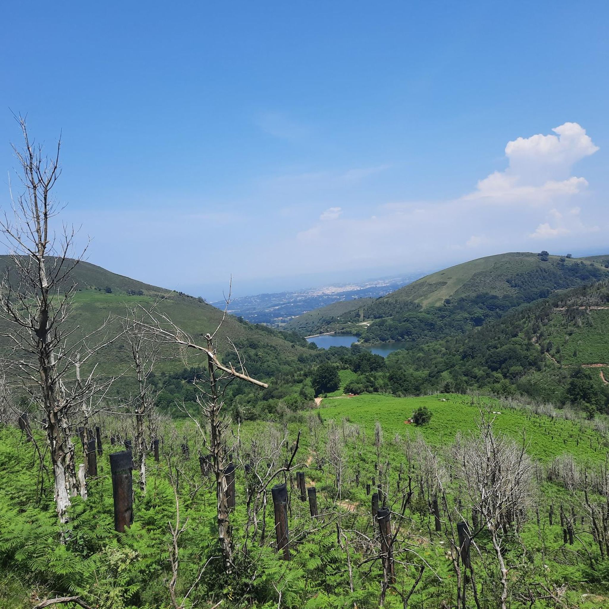
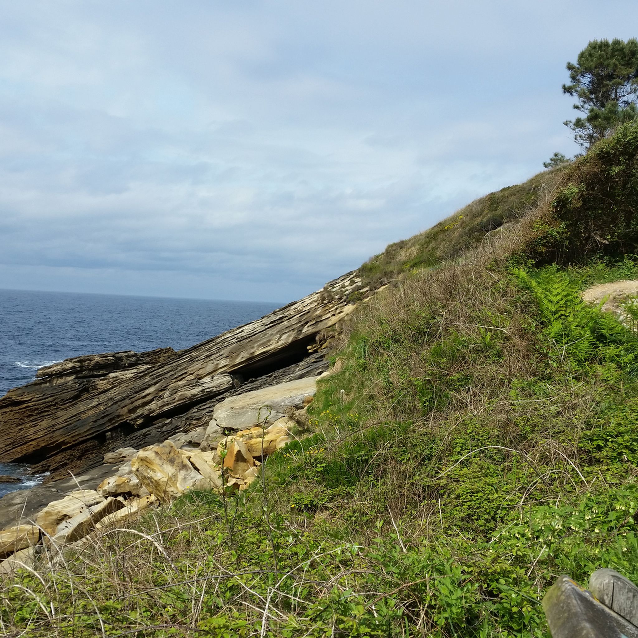
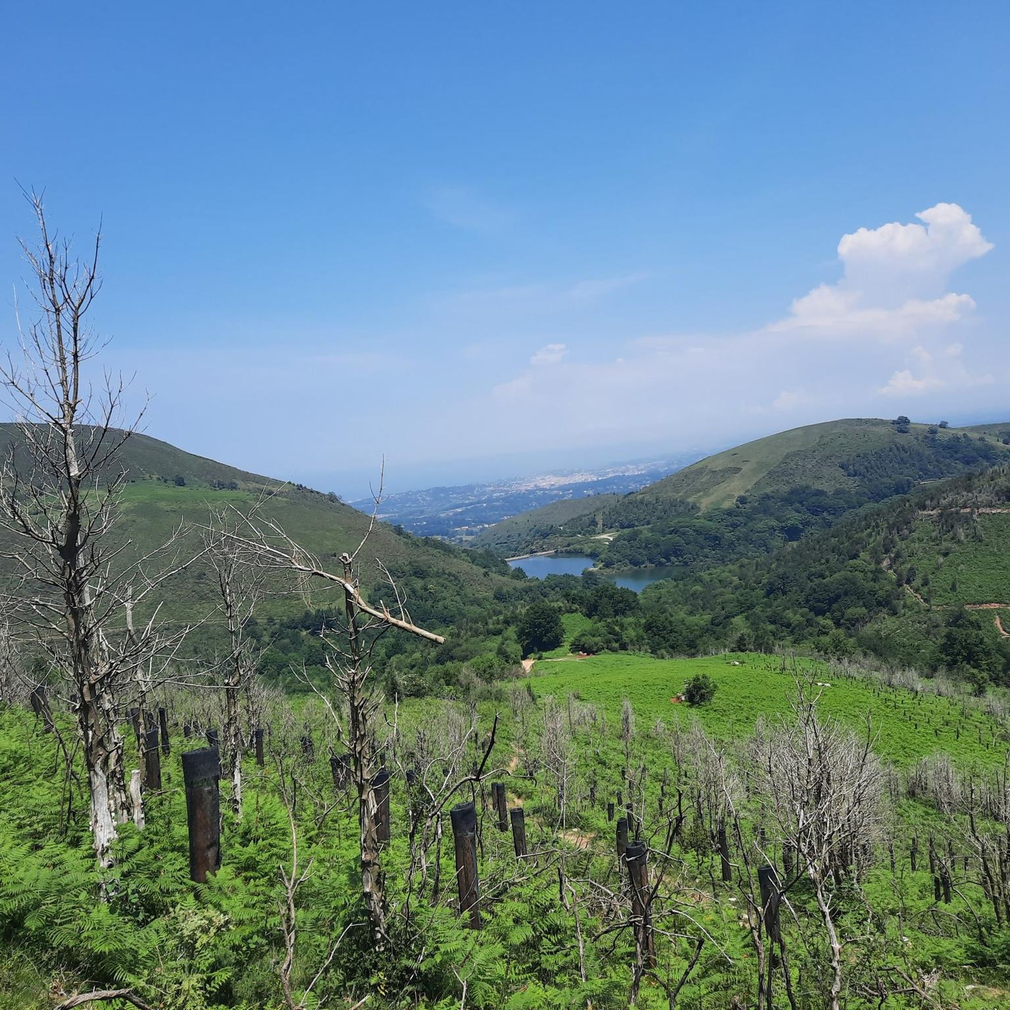
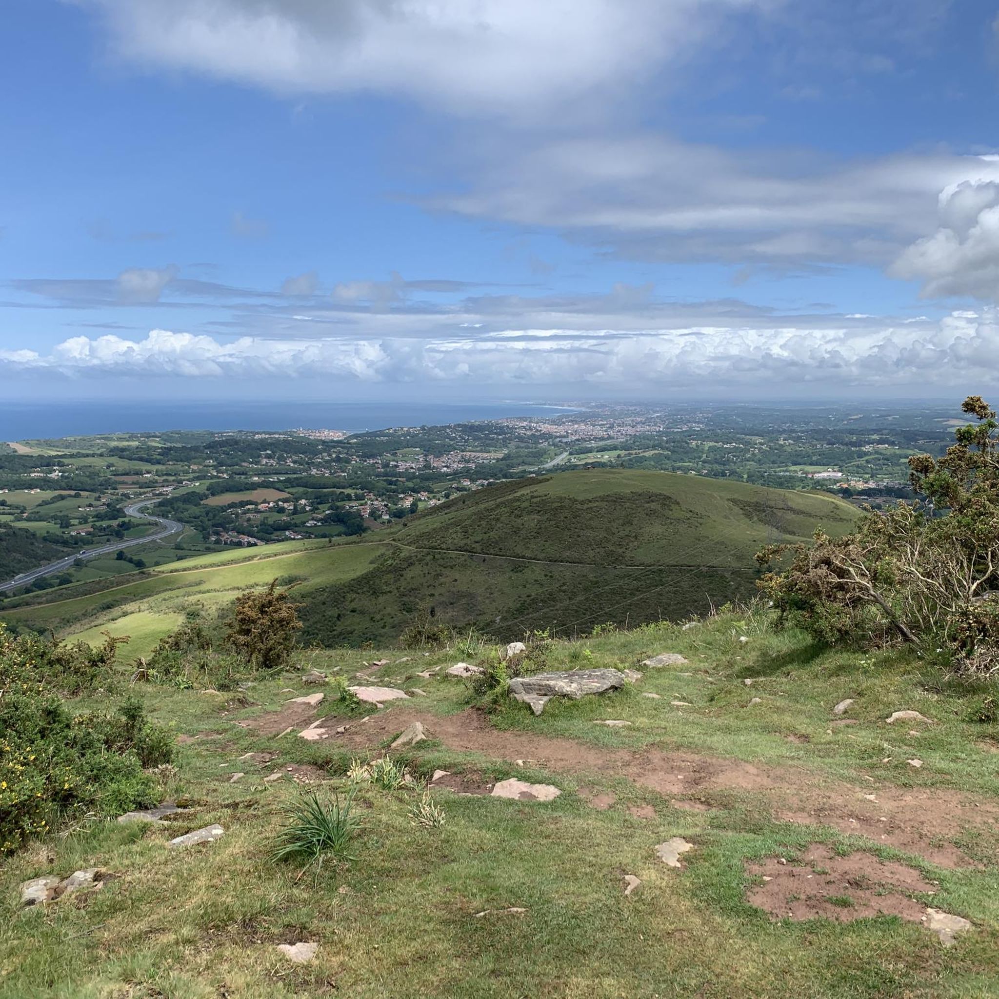

Tips from the Community

Caution! Approaching Irumugarrieta Peak from the south, you have to climb a serious, vertical wall. Unfortunately, with a dog, we had to give up here and fought our way down cross-country through the undergrowth. The other way around, it probably won't work with a dog even without abseiling. The tour is still very beautiful, but I wouldn't do the special descent again.
1
0

Near the end of the stream section, the concrete blocks covering the stream are as of September 2025 completely missing, leaving you two options forward: 1) walk on a 20cm wide path right next to a big cliff, 2) walk inside of the stream bed, knee-deep in water. We decided to turn back because it did not seem safe for us. Caution recommended!
1
0


From this pass, several mountain bike options are available.
0
0

From this hill we see the summit of Pic d'Ibantelly to our left, the French town of Sare at our feet, and Peña Plata to our right.
0
0
nice pass there are 2 climbs not long but between 12/14% approximately
0
0

The bivouac room is open. Rainproof seating is provided in front. (April 2025)
0
0
Frequently Asked Questions
How many mountaineering routes are available around Biriatou?
There are several mountaineering routes around Biriatou, with komoot offering 8 distinct tours. These include a mix of moderate and difficult options, catering to various experience levels.
What kind of terrain can I expect on mountaineering routes near Biriatou?
Mountaineering around Biriatou offers rugged mountain terrain within the western Pyrenees. You'll encounter diverse landscapes, prominent peaks like Xoldokogaina and La Rhune, and the scenic Bidassoa valley. Routes often feature challenging ascents and provide panoramic views of the Basque Coast and the Bay of Biscay.
Are there any circular mountaineering routes in the Biriatou area?
Yes, many of the mountaineering routes around Biriatou are circular. For example, you can explore the challenging Txurrumurru Summit Sculpture loop from Endara or the moderate Aritxulegi loop from Lasaingana, both offering a return to your starting point.
What are some notable landmarks or viewpoints I can discover while mountaineering near Biriatou?
The region is rich in natural and historical landmarks. You can reach the iconic La Rhune summit for incredible views, or pass through the scenic Saint-Ignace Pass. The Ermita de Guadalupe also offers a point of interest along some routes. Many trails provide expansive views of the Basque Coast and the Bay of Biscay.
Are there any challenging mountaineering routes for experienced hikers?
Absolutely. Biriatou is known for its physically demanding treks. For a difficult challenge, consider the Txurrumurru Summit Sculpture loop from Endara, which covers 9.2 km with significant elevation gain. Another demanding option is the Pilotalekugaña – Larhun loop from Alkegiberea, spanning over 13 km.
What is the best time of year for mountaineering in Biriatou?
The best time for mountaineering in Biriatou is generally during the warmer months, from late spring to early autumn (May to October), when the weather is more stable and trails are clear of snow. Summer offers long daylight hours, but be prepared for potential heat. Always check local weather conditions before heading out.
Are there any huts or shelters available along the mountaineering routes?
Yes, there are several huts and shelters in the vicinity that can be useful for longer treks or as resting points. Examples include Gîte Trapero Baita, Lizarrietako lepoa, and Benta Beltza Shelter. These can offer a place to rest or take refuge.
What do other mountaineers say about the routes in Biriatou?
The mountaineering routes in Biriatou are highly regarded by the komoot community, with an impressive average score of 4.9 stars from over 10 reviews. Mountaineers often praise the varied terrain, the challenging ascents, and the stunning panoramic views of the Basque Coast and the Pyrenees.
Can I reach the mountaineering trailheads using public transport?
While Biriatou itself is a village, access to specific trailheads for mountaineering often requires a car due to the mountainous terrain and the dispersed nature of starting points. Public transport options might be limited directly to the more remote trailheads, so planning for private transport or a taxi is advisable for convenience.
Are there any easier or moderate mountaineering options for those with less experience?
Yes, not all routes are extremely difficult. There are several moderate options suitable for those building their mountaineering experience. For instance, the Larhun – Sugizeaga loop from Manttu Baïta is a moderate 10.5 km path exploring the surroundings of La Rhune, and the Mountaineering loop from Irun is a shorter moderate option at 7.3 km.
What are the typical durations for mountaineering routes around Biriatou?
The durations for mountaineering routes around Biriatou vary depending on the distance and difficulty. You can find routes ranging from approximately 2 hours for shorter moderate treks, such as the Mountaineering loop from Irun, to over 5 hours for more challenging and longer expeditions like the Pilotalekugaña – Larhun loop from Alkegiberea.
Most popular routes around Biriatou
Most popular attractions around Biriatou

Get inspired with the komoot mobile app


Explore more
Browse the best Mountain Hikes & Routes in other regions.
