The best walks and hikes around Le Givre
4.4
(315)
1,724
hikers
123
hikes
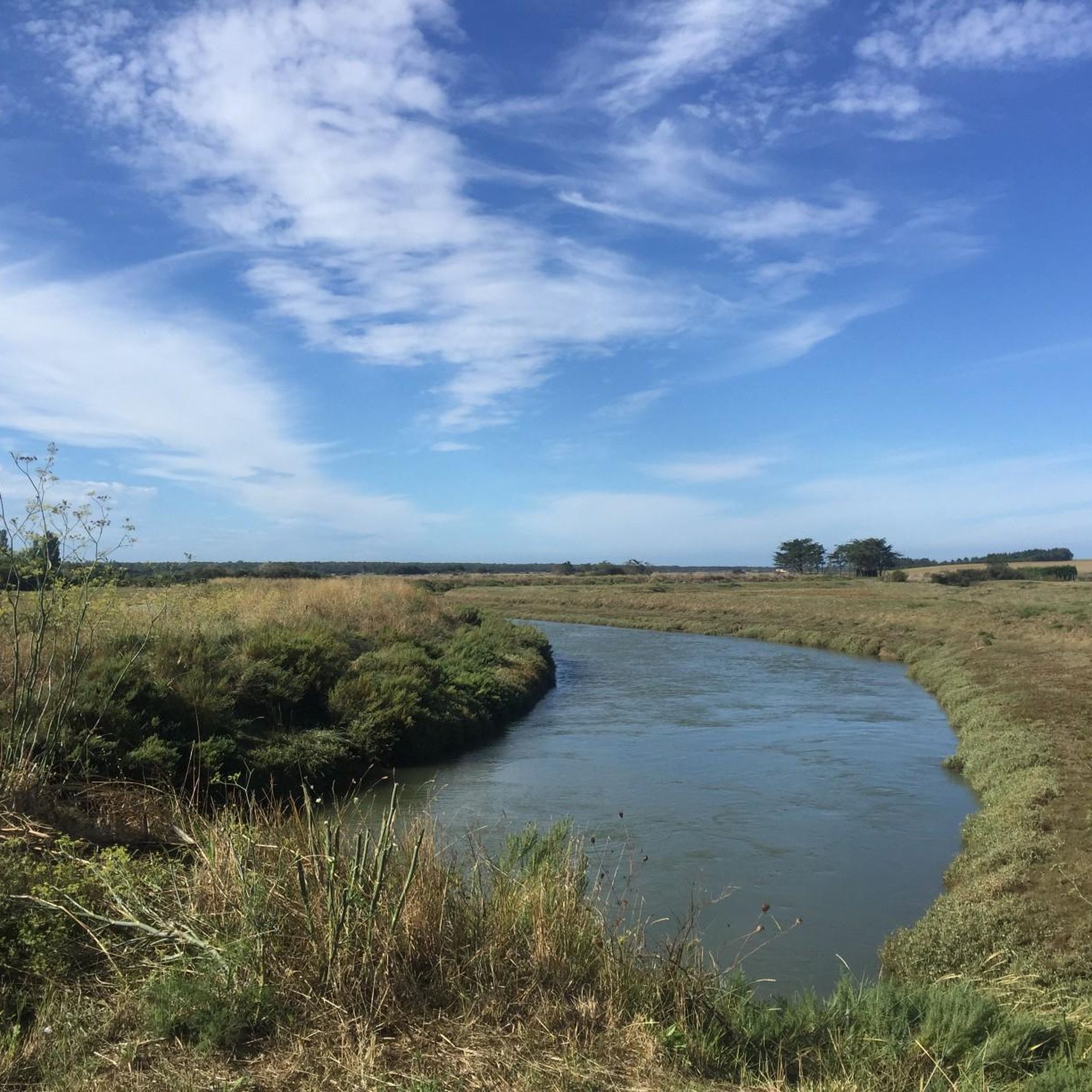
Hiking around Le Givre offers routes through a landscape characterized by lakes, gentle hills, and rural settings. The region features relatively low elevation changes, making many trails accessible for various fitness levels. Paths often follow waterways and traverse open countryside, providing opportunities for quiet exploration.
Best hiking trails around Le Givre
- The most popular hiking route is Graon Lake – Lake du Graon loop from Saint-Vincent-sur-Graon, a 7.5 miles (12.1 km) trail that takes 3 hours 9 minutes to…
Last updated: August 25, 2026
5.0
(2)
3
hikers
5.89km
01:33
50m
50m
Easy hike. Great for any fitness level. Easily-accessible paths. Suitable for all skill levels.
3
hikers
6.22km
01:36
30m
30m
Easy hike. Great for any fitness level. Easily-accessible paths. Suitable for all skill levels.

Sign up for free
3
hikers
11.6km
03:02
80m
80m
Moderate hike. Good fitness required. Easily-accessible paths. Suitable for all skill levels.
3
hikers
13.9km
03:38
100m
100m
Moderate hike. Good fitness required. Easily-accessible paths. Suitable for all skill levels.
3
hikers
Moderate hike. Good fitness required. Easily-accessible paths. Suitable for all skill levels.
Get access to more routes and recommendations from other explorers.
Sign up for free
Already have an account?
Our route recommendations are based on thousands of hikes, rides, and runs completed by other people on komoot.
Start today with a free account
Your next adventure awaits.
Login or Signup


Tips from the Community

Impressive how it was built a long time ago
0
0

On the roof of the Notre-Dame-des-Anges Church, a petrified monster hides: the Malebête. The elders say that it devoured the young people of the region. The monster also devoured herds of cows and even cowherds, so much so that all the young girls of the village of Angles ended up under its fangs. Then, a hermit mocked by its ugliness called Martin, or the priest of Angles who was ugly according to the sources, prayed for five days and managed to put a rosary around the beast's neck then lead it to the top of the bell tower. from the church where she was transformed into a stone statue. To punish the girls of the country for their mockery against him, Martin cast a last spell on the beast, and shouted to him: You will not live from now on only the beauty of the Angles girls. And, immediately, the women of the village became ugly. This is why, it is said, all the local women are ugly. Until recently, during baptisms, it happened that some parents did not pass through the church porch to prevent their child from becoming ugly.
0
0

The Plessis menhirs were once an equilateral triangle of three large menhirs, each 100 meters apart, but now only two remain. The southern menhir is much smaller than its neighbor. There is an information board that tells the story of these historical monuments.
0
0

Very nice hiking trail around the lake! :)
0
0

Do not hesitate to take the path for a hundred meters to see these two imposing menhirs listed as historical monuments since 1936. According to a description dating from 1841, they made up a group of 3 menhirs which formed an equilateral triangle of about 100 m next to. The largest of the three is a block of granite with a total length of 7 m, 3 m in diameter at the base. The third missing menhir, which was the smallest of the three, stood to the east of the first two and was destroyed around 1860.
0
0
It is a dolmen (known as n°1) forming part of a group of 3 neighboring dolmens together designated the "dolmens of Savatole". This one is on the side of the road, but the other two are in the middle of the fields.
0
0
Nice technical and varied circuit well suited for organic bikers.
0
0

What a view! here at the side of the road what a feast for the eyes!
1
0
Frequently Asked Questions
What is the general difficulty level of hiking trails around Le Givre?
Le Givre offers a range of hiking trails, with the majority being easy to moderate. The landscape is characterized by gentle hills and relatively low elevation changes, making many routes suitable for various fitness levels. There are 61 easy routes and 51 moderate routes available, with a few more challenging options for experienced hikers.
Are there family-friendly hiking options in Le Givre?
Yes, Le Givre is well-suited for family hikes due to its gentle terrain and numerous easy routes. Trails often follow waterways and traverse open countryside, providing pleasant and manageable walks for all ages. An example of an easy route is the L'Étang des Cygnes loop from Saint-Cyr-en-Talmondais, which is 4.2 miles (6.7 km) long.
Can I bring my dog on hikes around Le Givre?
Many trails in Le Givre are dog-friendly, allowing you to enjoy the rural settings and lake loops with your canine companion. It's always recommended to keep dogs on a leash, especially near livestock or in protected natural areas, and to check specific trail regulations if available.
Are there many circular hiking routes in Le Givre?
Circular routes are a defining feature of hiking in Le Givre, particularly around its many lakes. Many trails are designed as loops, offering convenient starting and ending points. For instance, the Graon Lake – Lake du Graon loop from Saint-Vincent-sur-Graon is a popular circular option.
When is the best time of year to go hiking in Le Givre?
The best time to hike in Le Givre is typically during spring, summer, and early autumn. These seasons offer pleasant weather for exploring the open countryside and lake areas. Spring brings blooming flora, while summer and autumn provide comfortable temperatures and beautiful scenery. The region's low elevation changes also make it suitable for hiking outside peak seasons.
What interesting sights can I discover while hiking in Le Givre?
While hiking in Le Givre, you can discover a variety of interesting sights. The region is known for its lakes and rural landscapes. Notable attractions include the Longeville State Forest, the historic Former spinning mill, and the ancient megalithic site of La Pierre aux Fées. You might also encounter coastal elements like Conches Beach or historical structures like the Tour de Moricq.
Is parking readily available at trailheads in Le Givre?
Parking is generally available near popular trailheads and villages in Le Givre, especially for routes that start from towns like Saint-Vincent-sur-Graon or La Jonchère. As many routes are loops, parking at the start/end point is often convenient. It's always advisable to check local signage for any specific parking restrictions.
Are there places to stop for refreshments or food near the hiking trails?
Given the rural nature of Le Givre, refreshment stops might be less frequent directly on trails compared to urban areas. However, many routes start or pass through villages and towns where you can find local cafes, bakeries, or small restaurants. Planning your hike to coincide with these locations is recommended for breaks and meals.
Are there opportunities for wild swimming or other water activities along the hiking routes?
Le Givre's landscape is characterized by lakes and waterways, offering potential opportunities for enjoying the water. While specific designated wild swimming spots may vary, the presence of lakes like Graon Lake means you might find suitable places to cool off. Always exercise caution and respect local regulations regarding swimming in natural bodies of water.
What do other hikers appreciate most about the trails in Le Givre?
Hikers frequently praise the tranquil and scenic nature of the trails in Le Givre. The komoot community has rated the routes with an average score of 4.5 stars. Reviewers often highlight the beautiful lake views, the peaceful rural paths, and the accessibility of the trails for various skill levels. The well-maintained paths and opportunities for quiet exploration are also commonly appreciated.
How many hiking trails are available to explore in Le Givre?
There are over 115 hiking trails available to explore in Le Givre. This extensive network includes a wide variety of routes, from easy strolls around lakes to more moderate excursions through the countryside, ensuring options for every preference.
What is the typical length of hikes in Le Givre?
Hikes in Le Givre vary in length, catering to different preferences. Many popular routes range from 4 to 8 miles (6 to 13 km). For example, the Moulin de la Garde loop from La Jonchère is 5.3 miles (8.5 km), while the Lac du Graon loop from Saint-Vincent-sur-Graon is 3.7 miles (5.9 km). You'll find options for both shorter walks and longer half-day adventures.
Most popular attractions around Le Givre

Get inspired with the komoot mobile app


Explore more
Browse the best Hikes in other regions.
