The best road cycling routes around Bayerfeld-Steckweiler
4.6
(225)
2,296
riders
149
rides
Road cycling around Bayerfeld-Steckweiler offers a diverse landscape characterized by river valleys, rolling hills, and agricultural areas including vineyards. The region features a mix of open stretches and routes passing through small villages and historical sites. Elevations are generally moderate, providing varied terrain suitable for different fitness levels.
Best road cycling routes around Bayerfeld-Steckweiler
- The most popular road cycling route is Templar Chapel at Hof Iben – Tiefenthaler Höfchen loop from Alsenz, a 33.6 miles (54.1 km) trail that…
Last updated: October 20, 2026
5.0
(7)
114
riders
54.9km
02:40
410m
410m
Moderate road ride. Good fitness required. Mostly well-paved surfaces and easy to ride.
5.0
(2)
55
riders
51.9km
02:13
340m
340m
Moderate road ride. Good fitness required. Mostly well-paved surfaces and easy to ride.

3.0
(1)
37
riders
Moderate road ride. Great for any fitness level. Some segments of this route may be unpaved and difficult to ride.
5.0
(8)
26
riders
49.2km
02:17
580m
580m
Moderate road ride. Good fitness required. Mostly well-paved surfaces and easy to ride.
27
riders
Moderate road ride. Great for any fitness level. Some segments of this route may be unpaved and difficult to ride.
Get access to more routes and recommendations from other explorers.
Already have an account?
Our route recommendations are based on thousands of hikes, rides, and runs completed by other people on komoot.
Start today with a free account
Your next adventure awaits.
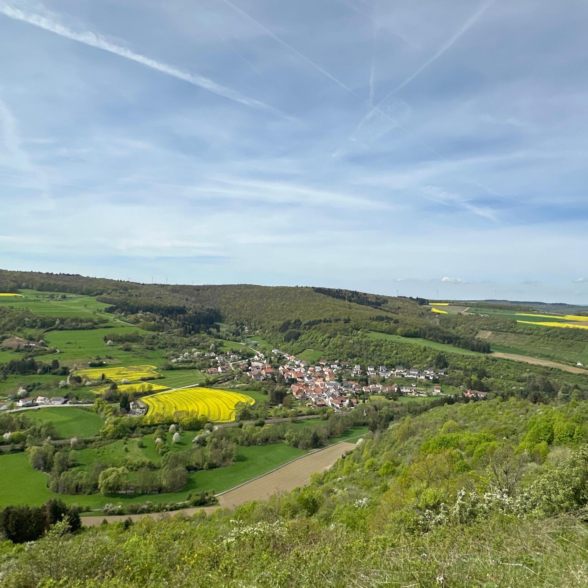
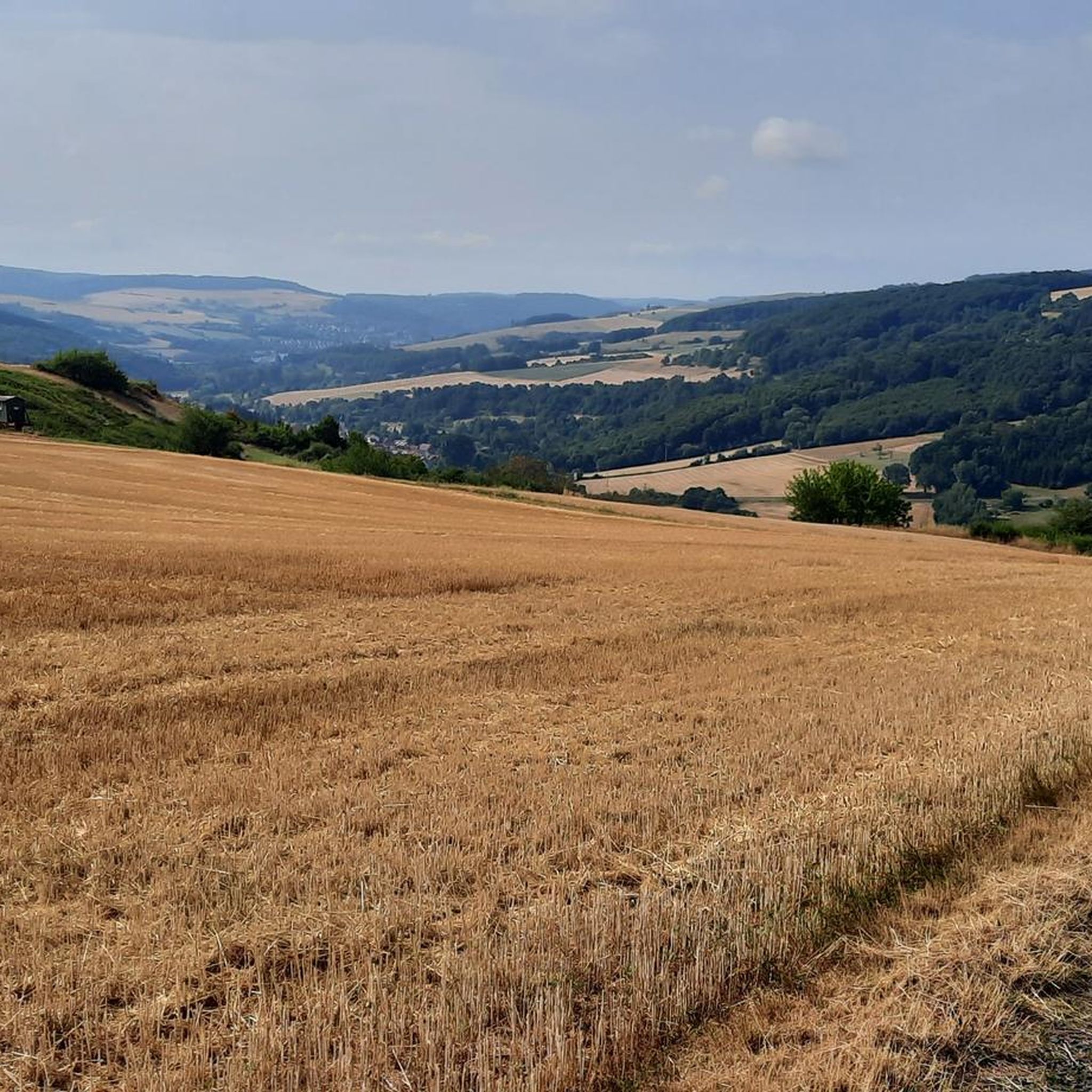
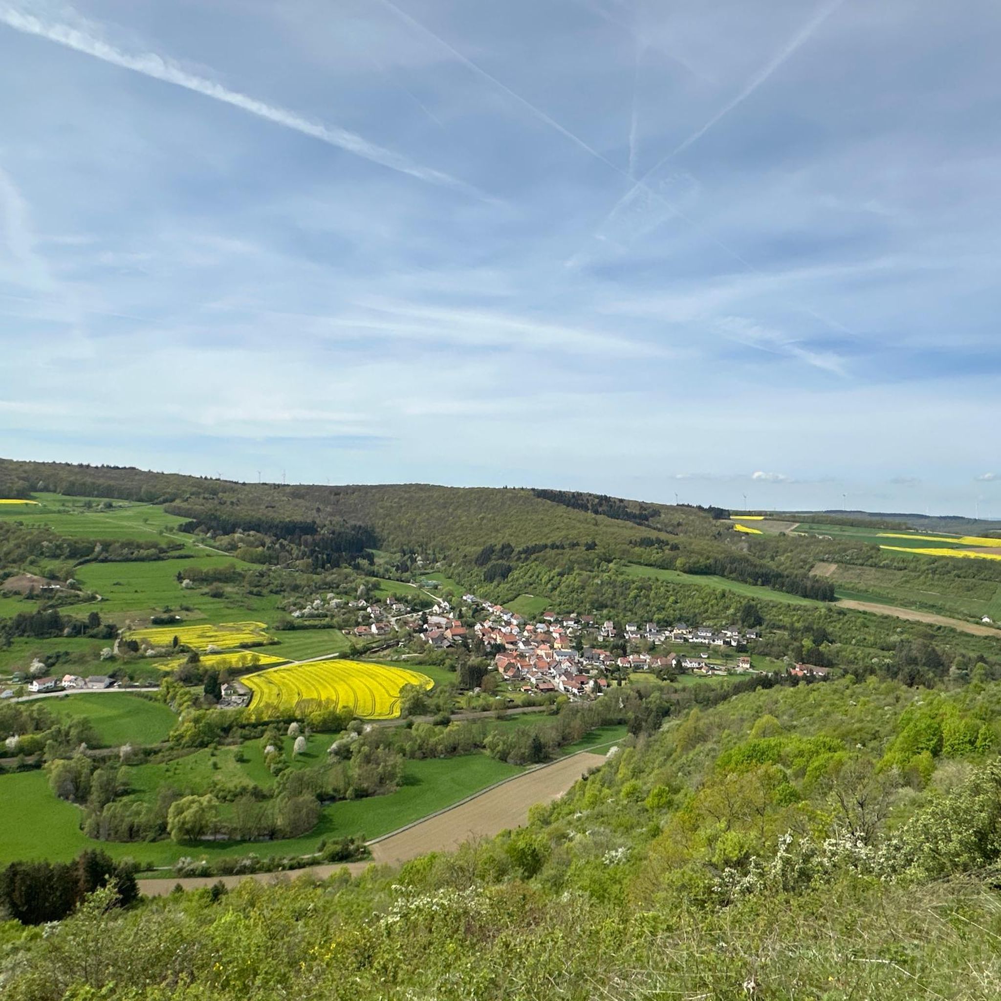
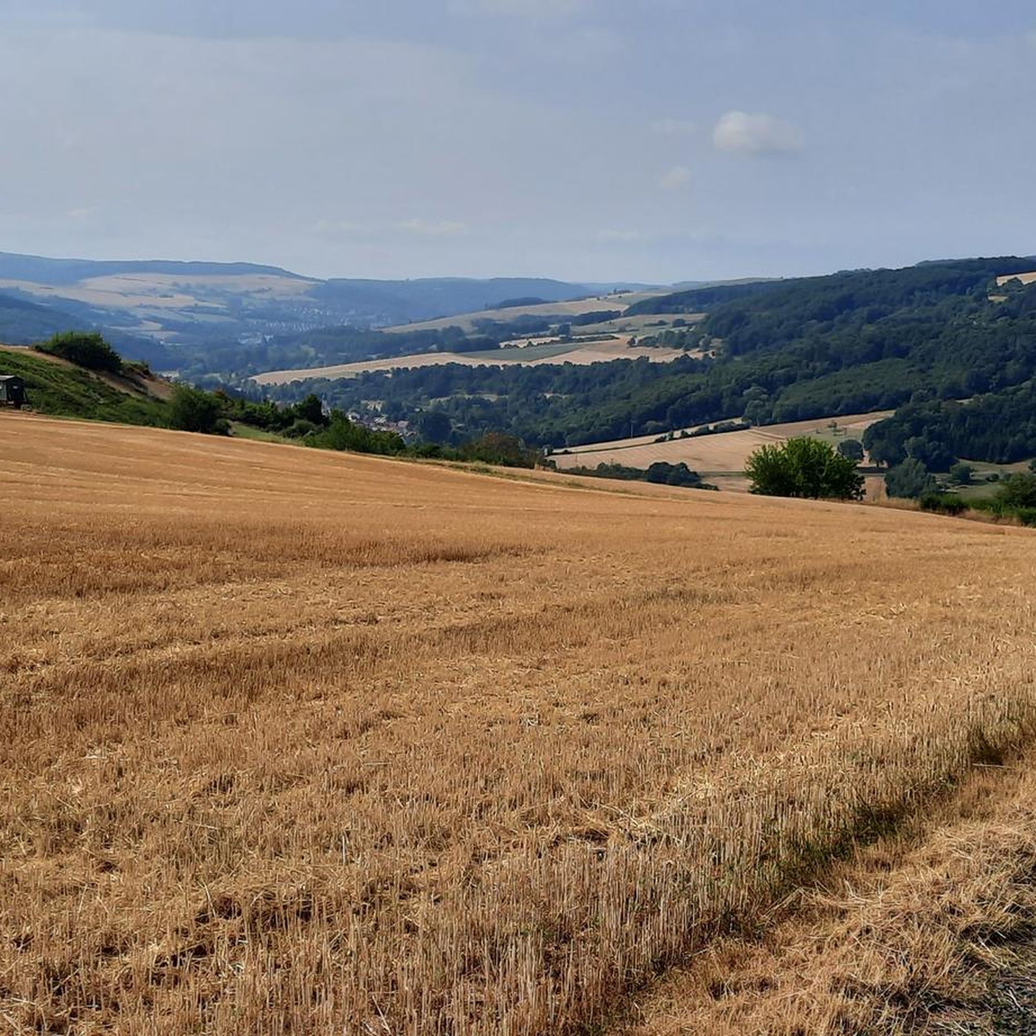

Tips from the Community

Beautiful cycle path without car traffic
0
0
Sensational road with even gradient percentages
0
0

Beautiful cycle path, easy to ride
0
0
Great old building, well worth seeing
0
0
Very nice corner for biking
0
0
Very old and historic church...
0
0
Frequently Asked Questions
How many road cycling routes are available around Bayerfeld-Steckweiler?
There are over 150 road cycling routes around Bayerfeld-Steckweiler, offering a wide variety of options for different skill levels and preferences.
What is the overall difficulty level of road cycling routes in this region?
The routes around Bayerfeld-Steckweiler are predominantly moderate, with over 100 such trails. There are also 16 easy routes suitable for beginners and 36 more difficult options for experienced cyclists seeking a challenge.
Are there easy road cycling routes suitable for beginners in Bayerfeld-Steckweiler?
Yes, Bayerfeld-Steckweiler offers 16 easy road cycling routes. These routes typically feature moderate elevations and are ideal for those new to road cycling or looking for a relaxed ride through the scenic landscape.
Where can I find more challenging road biking trails near Bayerfeld-Steckweiler?
For advanced road biking, there are 36 difficult routes in the region. These often feature more significant elevation gains and longer distances. An example of a moderate route with notable elevation is the Glan Bridge near Rehborn – Luitpold Bridge over the Nahe loop from Alsenz, which includes over 560 meters of ascent.
What kind of scenery can I expect on road cycling routes around Bayerfeld-Steckweiler?
The region is characterized by diverse landscapes, including river valleys, rolling hills, and agricultural areas with vineyards. Many routes pass through small villages and offer views of historical sites. For example, the View of Rotenfels – View of the River Nahe loop from Alsenz provides scenic views of the Rotenfels rock formation and follows the River Nahe.
Are there circular road bike routes available in Bayerfeld-Steckweiler?
Yes, many road cycling routes in Bayerfeld-Steckweiler are designed as loops. For instance, the popular Templar Chapel at Hof Iben – Tiefenthaler Höfchen loop from Alsenz is a 54.1 km circular trail exploring historical landmarks and varied rural scenery.
What are some interesting landmarks or attractions I can see along the road cycling routes?
Cyclists can explore various points of interest. Notable attractions include the Meisenheim Old Town, the Königsstuhl (Donnersberg summit), and the Ludwig Tower, Donnersberg. You might also encounter natural features like the Silver Lake or the Falkenstein Gorge.
What do other cyclists say about the road cycling experience in Bayerfeld-Steckweiler?
The road cycling routes in Bayerfeld-Steckweiler are highly rated by the komoot community, with an average score of 4.7 stars from over 200 reviews. Cyclists often praise the varied terrain, scenic views, and the mix of open stretches and charming villages.
Are there routes that pass through vineyards?
Yes, the region's agricultural character includes vineyards. The Vineyards Near Münsterappel – Tiefenthaler Höfchen loop from Sankt Alban is a prime example, leading you directly through picturesque vineyard landscapes.
What is a good moderate-length road cycling route in the area?
A good moderate-length route is the Protestant Church, Rockenhausen – Rockenhausen loop from Oberndorf. It's about 22.5 km long and typically takes around 1 hour 25 minutes to complete, offering a pleasant ride with manageable elevation.
What is the best time of year for road cycling in Bayerfeld-Steckweiler?
While specific weather conditions vary, the region's moderate elevations and diverse landscapes make it enjoyable for road cycling from spring through autumn. Spring offers blooming scenery, summer provides warm rides through vineyards, and autumn showcases vibrant fall colors.
Most popular routes around Bayerfeld-Steckweiler
Most popular attractions around Bayerfeld-Steckweiler

Get inspired with the komoot mobile app


Explore more
Browse the best Road cycling routes in other regions.
