
The best running trails around Artigueloutan
4.5
(145)
8,567
runners
438
runs
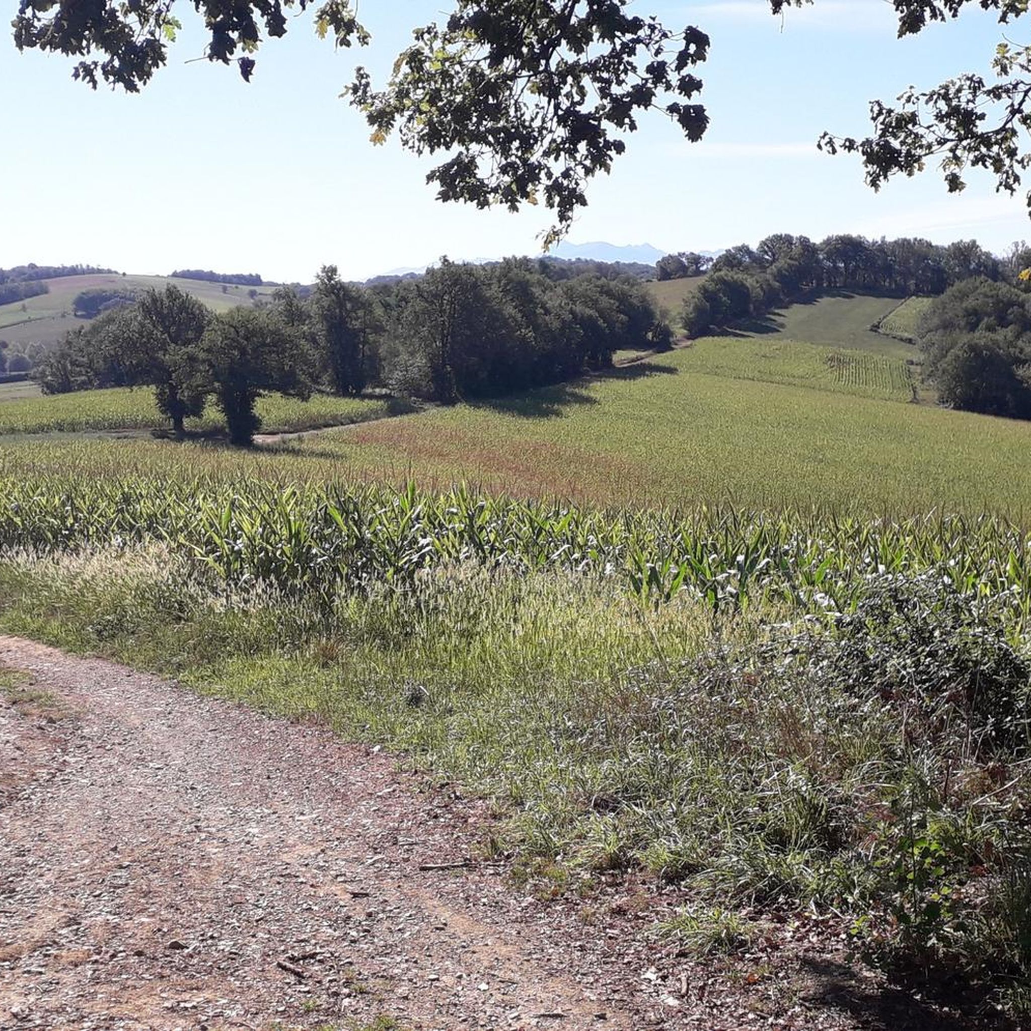
Jogging routes around Artigueloutan traverse a tranquil rural setting in the Pyrénées-Atlantiques department of Nouvelle-Aquitaine, France. The area is characterized by extensive agricultural land and gently rolling terrain, with elevations ranging from 229 to 370 meters. The Ruisseau de l'Ousse, a stream flowing through the commune, provides a natural riparian environment for running. This landscape offers open, pastoral views and accessible paths suitable for various outdoor pursuits.
Best jogging routes around Artigueloutan
- The most popular jogging route is Fort de…
Last updated: August 28, 2026
12
runners
19.1km
02:11
330m
330m
Hard run. Very good fitness required. Mostly accessible paths. Some sure footedness required.
15
runners
10.0km
01:03
50m
50m
Moderate run. Good fitness required. Mostly paved surfaces. Suitable for all skill levels.

Sign up for free
13
runners
22.7km
02:50
660m
660m
Hard run. Very good fitness required. Mostly paved surfaces. Suitable for all skill levels.
10
runners
10.3km
01:05
50m
50m
Moderate run. Good fitness required. Mostly accessible paths. Some sure footedness required.
9
runners
8.55km
00:53
20m
20m
Moderate run. Good fitness required. Mostly paved surfaces. Suitable for all skill levels.
Get access to more routes and recommendations from other explorers.
Sign up for free
Already have an account?
Our route recommendations are based on thousands of hikes, rides, and runs completed by other people on komoot.
Start today with a free account
Your next adventure awaits.
Login or Signup

Frequently Asked Questions
How many running routes are available in Artigueloutan?
There are over 390 running routes around Artigueloutan, offering a wide variety of options for different fitness levels and preferences. The komoot community has explored more than 8,800 runs in the area.
What kind of terrain can I expect on the jogging trails around Artigueloutan?
The jogging trails in Artigueloutan primarily feature a mix of rural paths, agricultural land, and wooded areas. You'll encounter gently rolling hills, with elevations ranging from 229 to 370 meters, providing both flat sections and moderate inclines. Some routes also follow the riparian environment of the Ruisseau de l'Ousse.
Are there any easy running routes suitable for beginners or families?
Yes, Artigueloutan offers several easy running routes. For a moderate option that's still accessible, consider the Running loop from Nousty, which is 10.0 km long with minimal elevation gain, offering a pleasant mix of rural paths and countryside scenery.
Can I find more challenging runs in the Artigueloutan area?
Absolutely. For those seeking a more demanding run, the Fort de César loop from Artigueloutan is a difficult 19.8 km trail with significant elevation changes (over 430m up and down), providing a robust workout and varied terrain.
Are there any routes with scenic viewpoints of the Pyrenees?
Yes, many routes on the 'coteaux' or hillsides around Artigueloutan and nearby towns like Rontignon offer beautiful panoramic views of the distant Pyrenees mountains. While specific routes aren't listed, exploring trails with higher elevation gains will likely reward you with these vistas.
What interesting landmarks or natural features can I see along the running paths?
While running, you might encounter the tranquil Ruisseau de l'Ousse, which flows through the commune. The wider area also features the Gave de Pau, a major river with accessible riverside routes. For historical interest, portions of the ancient Roman road, Chemin Henri IV, pass near Artigueloutan. You can also explore nearby attractions like the Gave de Pau Cycle Bridge or the National Museum and Estate of the Château de Pau.
Are the running trails in Artigueloutan dog-friendly?
Many of the rural paths and trails in Artigueloutan are generally dog-friendly, especially those through agricultural land and wooded areas. It's always recommended to keep your dog on a leash, especially near livestock or in populated areas, and to respect local regulations regarding pets on trails.
Are there any circular jogging routes available?
Yes, many of the jogging routes around Artigueloutan are designed as loops, allowing you to start and finish at the same point. An example is the Running loop from Artigueloutan, a 10.4 km trail through agricultural land and near the Ruisseau de l'Ousse.
What do other runners say about the trails in Artigueloutan?
The running routes in Artigueloutan are highly rated by the komoot community, with an average score of 4.4 stars from over 100 reviews. Runners often praise the tranquil rural setting, the varied terrain, and the accessible paths that cater to different ability levels.
Is there parking available near the trailheads?
Given the rural nature of Artigueloutan, parking is generally available in village centers or designated areas near popular trailheads. For specific routes, it's advisable to check the route details on komoot, as many tours include information on starting points and parking options.
What is the best time of year for running in Artigueloutan?
Artigueloutan offers pleasant running conditions for much of the year. Spring and autumn provide mild temperatures and beautiful scenery, while summer can be warm but enjoyable, especially in the mornings or evenings. Winter runs are also possible, with the rolling hills and agricultural lands offering a different kind of beauty.
Can I find places to eat or stay near the jogging routes?
Artigueloutan and its surrounding communes offer local amenities including cafes, restaurants, and accommodation options. While not directly on every trail, these facilities are typically accessible within a short distance from the main village areas, providing convenient spots for refreshments or overnight stays.
Most popular routes around Artigueloutan
Most popular attractions around Artigueloutan

Get inspired with the komoot mobile app


Explore more
Browse the best Running Trails & Routes in other regions.
