Top 19 Mountain Passes around Estérençuby
Best mountain passes around Estérençuby are found in the French Basque Country, a region characterized by its mountainous terrain and historical routes. This area serves as a gateway to various passes, many of which are part of long-distance hiking trails such as the GR10 and GR65. The passes offer diverse landscapes, from dense forests to open ridges, providing opportunities for exploration and historical discovery. The terrain in the Estérençuby mountains includes challenging climbs and panoramic viewpoints.
Best mountain passes around…
Last updated: October 13, 2026
Col Bagargiak
Highlight • Mountain Pass
At the …
Translated by Google •
Tip by

Iraty Chalets
Highlight • Restaurant
Translated by Google •
Tip by
Sign up now to discover places like this
Get recommendations on the best single tracks, peaks, & plenty of other exciting outdoor places.
Irau Pass
Highlight • Mountain Pass
Translated by Google •
Tip by

Col de Bagargui
Highlight (Segment) • Mountain Pass
A pass which constitutes a real challenge for any cyclist, because it is classified among the harshest in France, especially when the heat gets …
Translated by Google •
Tip by

Tapla Pass
Highlight • Mountain Pass
Translated by Google •
Tip by

Sign up for free to discover even more mountain passes around Estérençuby.
Already have an account?
Start today with a free account
Your next adventure awaits.
Popular around Estérençuby
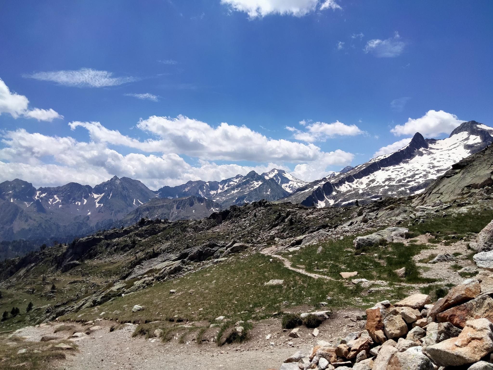
Hexatrek, the western and central Pyrenees – Between mountains and the ocean

Haute Route Pyrénéenne – Pyrenees Crossing
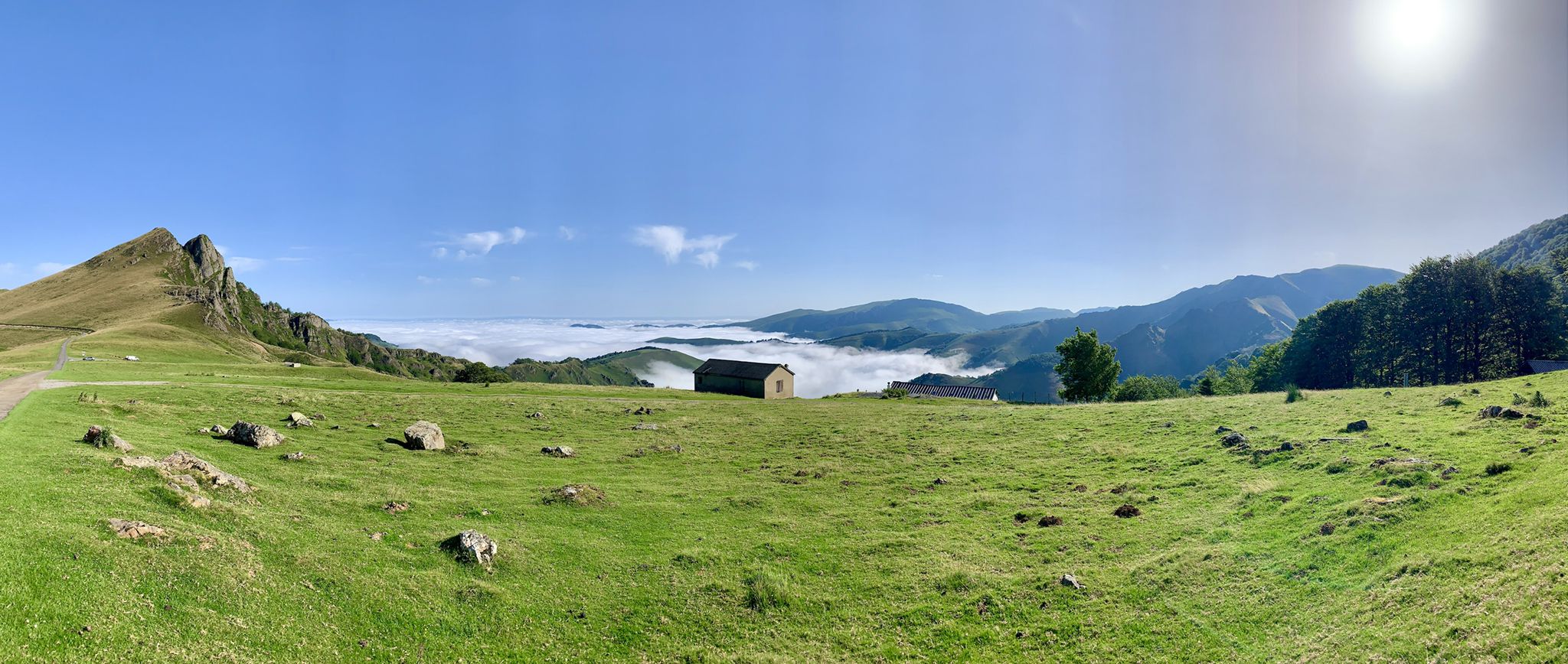
The Western Pyrenees – crossing the Pyrenees on the GR 10
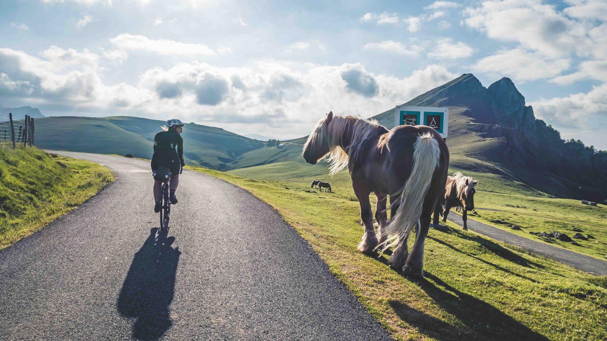
France & Spain: With TOUR in the Atlantic Pyrenees
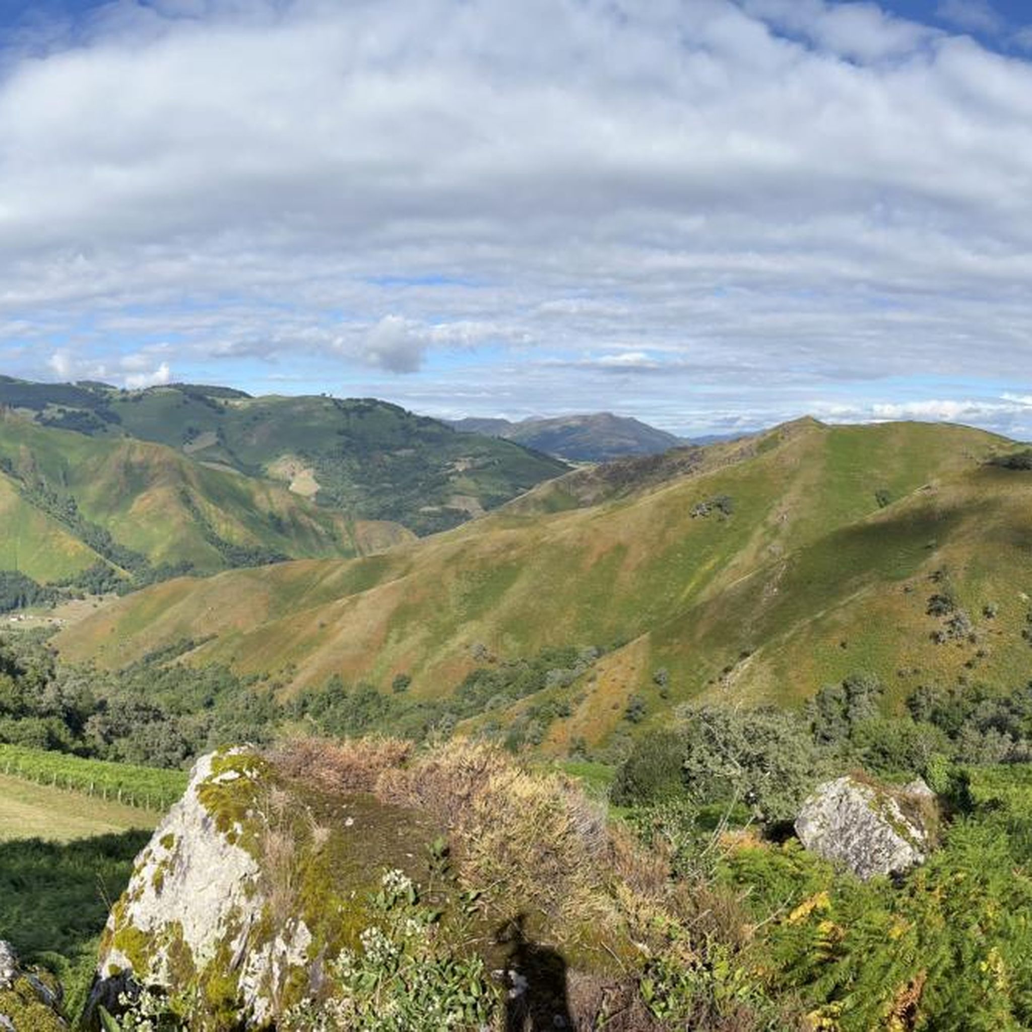
Road Cycling Routes around Estérençuby
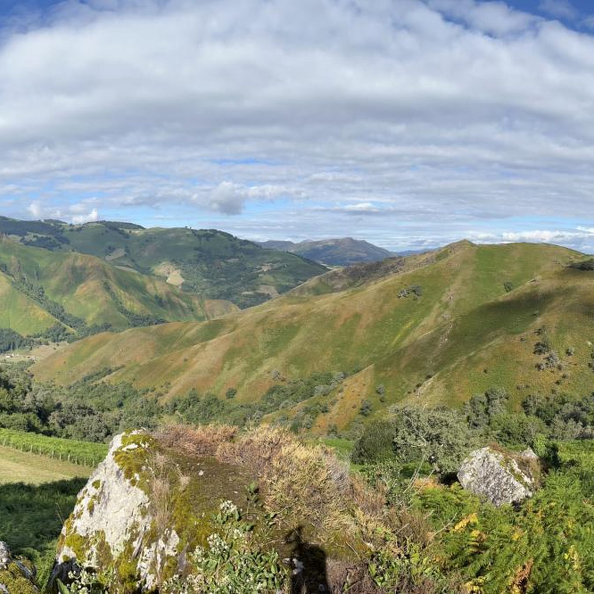
MTB Trails around Estérençuby
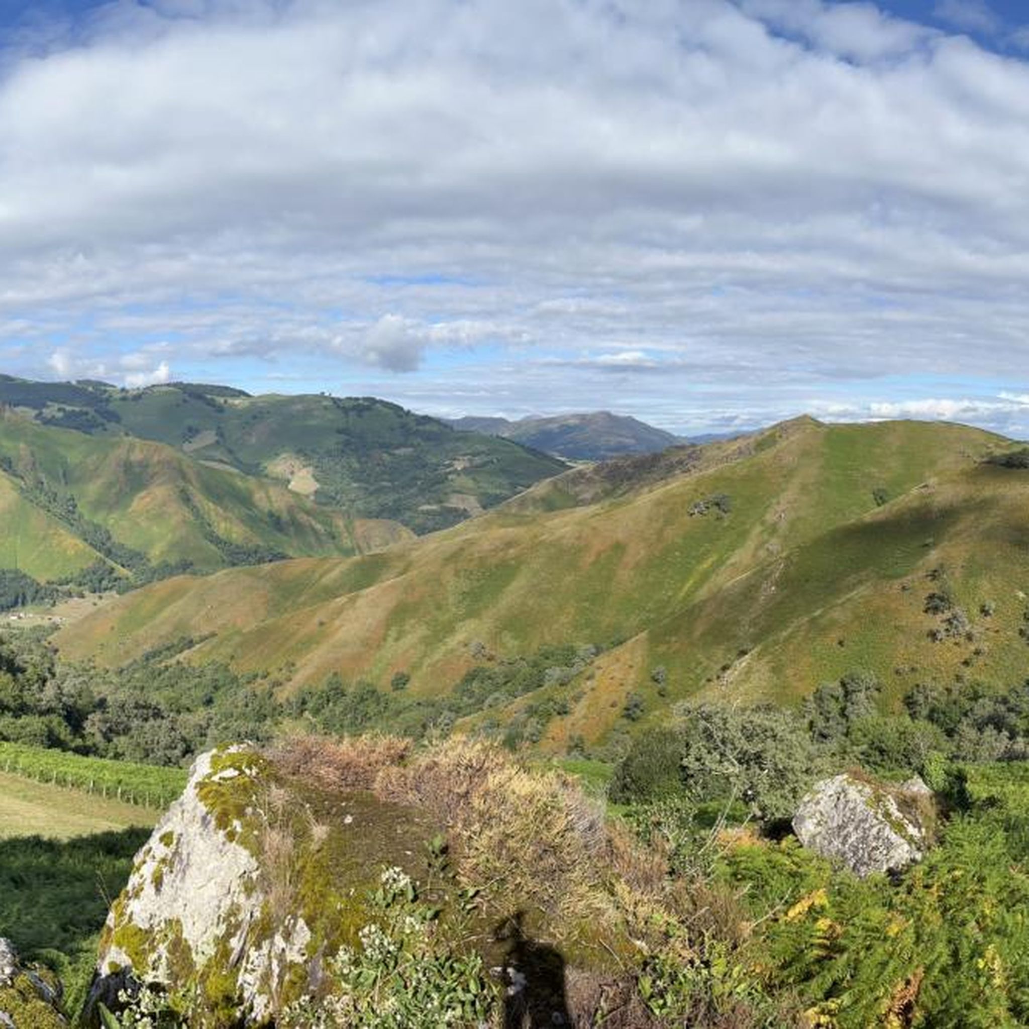
Hiking around Estérençuby
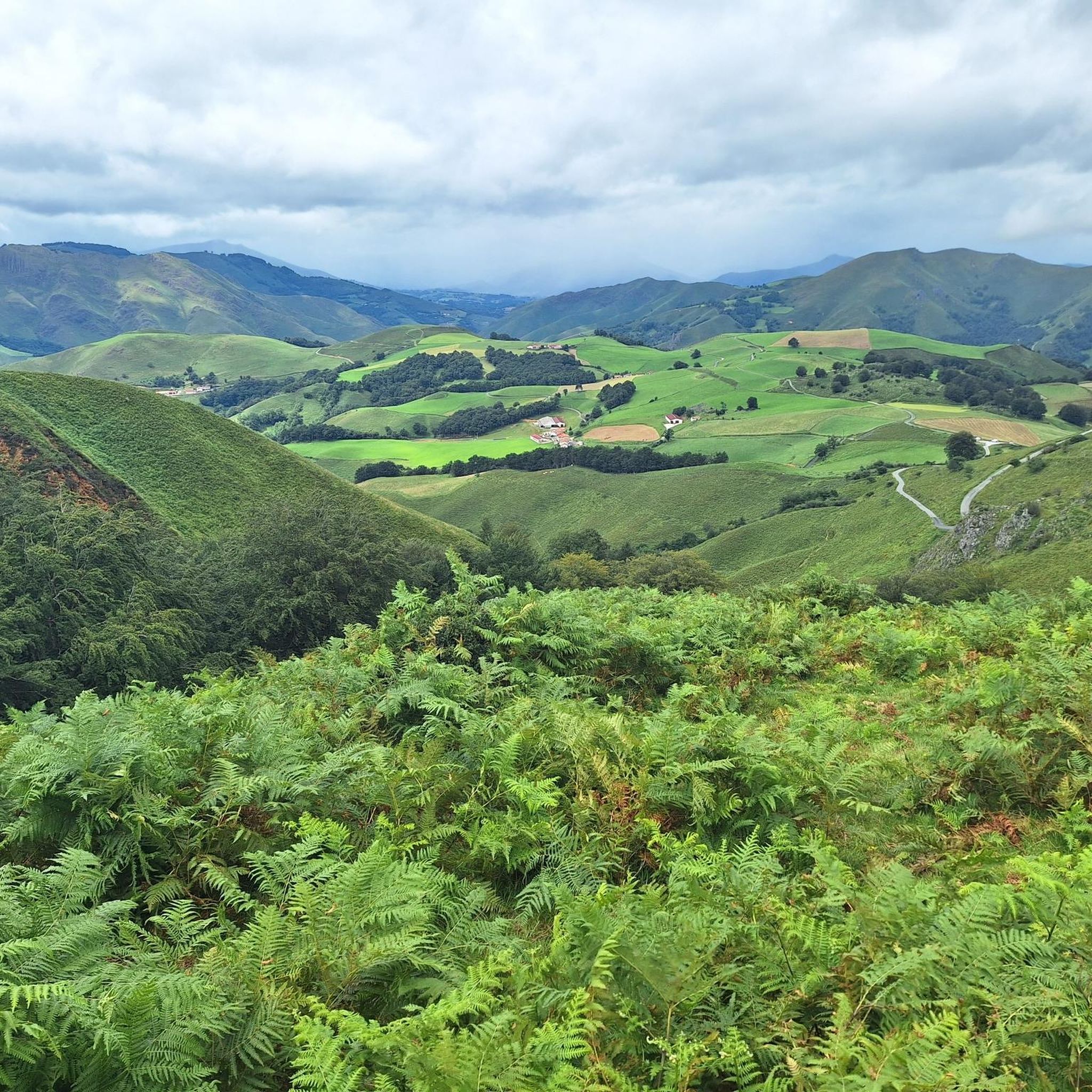
Running Trails around Estérençuby
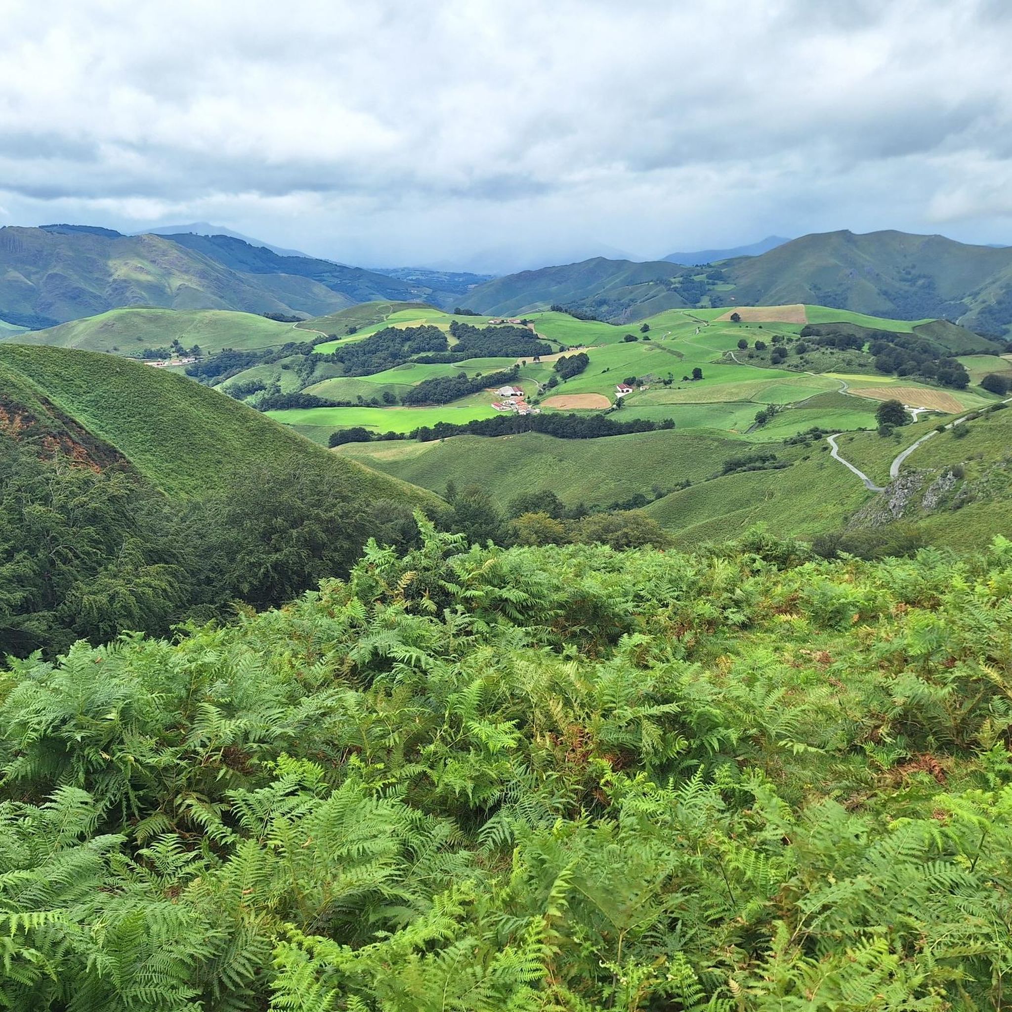
Cycling around Estérençuby
Other adventures around Estérençuby


Tips from the Community

Perched atop the wind-swept Col de Bagargiak at an elevation of over 1,300 meters, Les Chalets d'Iraty is a charming mountain resort nestled right at the edge of the sprawling Iraty Forest. Operating as a cozy base for winter sports and a vibrant outdoor hub during the summer months, it offers a perfect blend of comfort and convenience for hikers on the GR10 or HRP. Trekkers can find well-equipped wooden chalets, dormitory-style rooms, a small grocery shop for essential resupplies, and a warm restaurant serving hearty local Basque dishes. It stands out as an inviting, comfortable oasis high in the Pyrenees where you can rest your legs, enjoy stunning mountain views, and recharge before tackling the next tough stage.
1
0

This climb saves the hardest for last. The last 4-5 km are constantly over 10%. Hang in there.
0
0

An amazing place with magnificent views and birds of prey soaring just above your head. A spectacular sensation!
0
0

This descent has a very bumpy road surface, so that my bike computer mount broke. Luckily I had the safety line attached. The scenery, however, is very attractive and remote.
0
0

Typical Pyrenees: super beautiful and quite strenuous
0
0

A remote port in the French Pyrenees with narrow roads in perfect condition where you can enjoy the beauty of the green pastures and the absolute tranquility of the place. It is an area where the weather is very changeable and you can have wonderful days or cold and rainy days in summer. It is an alternative road to the Col d'Errozate and connects with Surzai Lepoa. Without a doubt, a magical place and highly recommended.
1
0
It is one of the toughest Pyrenean passes and, in general, little known by the average amateur because it has been used very little in professional cycling races. It is a spectacular port on both sides. The eastern slope, which is the one marked in this section, is completely open, with hardly any vegetation, with a wide road in perfect condition. It is 9 km from the moment you get off the town of Larrau. The first 4 km are irregular, with some ramps that take your hiccups away. The last ones are literally very hard, with an average of 3 km at 12%!!!! The last km eases up a bit because it has a rest... but it also has important ramps. In addition to being tough, this port is spectacular for its landscapes and panoramic views. You can not lose this!!!! I leave you the link for the altimetry published by @cyclingcols --> http://www.cyclingcols.com/col/Bagargui
0
0
The views from the top are wonderful. You have to stand quietly to enjoy the beauty, especially on sunny spring and summer days.
0
0
Frequently Asked Questions
What are some of the most scenic mountain passes around Estérençuby?
The region offers several passes with breathtaking views. The Tapla Pass is known for its spectacular panoramic viewpoint. Col d'Haritzarte also provides magnificent views of the Basque Country and distant Iparla crests. For stunning panoramic views and proximity to the unique Harpea Cave, consider the Orgambidé Pass.
Are there any historical sites or landmarks to explore near the mountain passes?
Yes, the mountain passes around Estérençuby are rich in history. The Arnostéguy Pass leads to the Urkulu tower, a significant Roman historical site. Near the Orgambidé Pass, you can find the unique Harpea Cave, historically used by shepherds, and the Stone Circle at Col d'Orgambide, which features ancient Neolithic buildings.
What kind of outdoor activities can I do near these mountain passes?
The mountain passes around Estérençuby are excellent for various outdoor activities. You can find numerous hiking trails, including challenging routes like the one to Col de Bagargiak, or well-maintained paths from Col d'Irey. The area is also popular for cycling and mountain biking. For more detailed routes, explore the hiking, cycling, and MTB trails around Estérençuby.
Which mountain passes offer challenging routes for experienced hikers or cyclists?
For those seeking a challenge, the route to Col de Bagargiak from Estérençuby is a demanding 24 km itinerary with 1750m elevation gain, ideal for well-trained hikers. Cyclists will find the climb to Col d'Arnosteguy a substantial and rewarding experience, covering 17.7 km with over 1000 meters of vertical ascent. The Bagargui pass also presents a challenging 28-kilometer climb with sections reaching 11% gradient.
Are there any facilities or accommodation options available at the mountain passes?
Yes, at the Bagargui pass, you'll find the famous Iraty Chalets. This settlement offers accommodation, a restaurant, and a small grocery store for supplies, making it a convenient stop for trekkers on trails like the GR10.
What is the best time of year to visit the mountain passes around Estérençuby?
The mountain passes can be enjoyed across multiple seasons. Col d'Irey, for example, is particularly appealing in autumn, winter, and spring due to its sunny slope. Generally, the warmer months are ideal for hiking and cycling, but the region's beauty can be appreciated year-round, with each season offering a different perspective.
Are there any family-friendly options among the mountain passes?
While many passes involve significant climbs, some areas offer easier access to natural features. The Orgambidé Pass, for instance, allows for driving through Orion forest and parking, followed by a walk to the Harpea Cave, which could be suitable for families interested in geology and history without an extensive hike. Always check specific route details for suitability.
What kind of natural features can I expect to see on the trails?
The trails around Estérençuby's mountain passes showcase diverse natural beauty. You'll encounter dense beech forests, vast pastoral areas with free-roaming sheep, cows, and horses, and stunning panoramic viewpoints. The Iraty forest, Europe's largest beech forest, is a prominent feature on routes like the one to Col de Bagargiak.
What do visitors enjoy most about the mountain passes in this region?
Visitors frequently praise the spectacular views and the sense of tranquility found in the Basque mountains. The combination of challenging climbs, rich historical sites like the Urkulu tower, and unique natural formations such as the Harpea Cave, along with the opportunity to witness traditional pastoral life, makes the experience highly rewarding.
Are there any long-distance hiking trails that pass through these mountains?
Yes, several mountain passes in the region are integral parts of long-distance hiking trails. Notably, the GR10 and GR65 (part of the Compostela route) traverse this area, making it a significant destination for both casual visitors and avid trekkers. The Iraty Chalets are located directly on the GR10 trail.
What is the terrain like on the mountain passes around Estérençuby?
The terrain varies from well-maintained paths to rough, bumpy roads and challenging climbs. You can expect sections passing through immense beech forests, particularly in the initial parts of some ascents, opening up to exposed, open sections with spectacular views higher up. Many routes feature significant elevation gains, making them suitable for those seeking a physical challenge.
Most popular routes around Estérençuby
Most popular attractions around Estérençuby

Get inspired with the komoot mobile app


Explore more
See even more epic mountain passes by checking out these guides around Estérençuby:
