The best walks and hikes around Béhorléguy
4.4
(364)
2,614
hikers
116
hikes
Hiking around Béhorléguy offers varied terrain characterized by rolling hills, mountain passes, and forested valleys within the Basque Country. The region features elevations that provide panoramic views and diverse ecosystems. Trails often traverse open pastures and lead to notable viewpoints.
Best hiking trails around Béhorléguy
- The most popular hiking route is Haritzarte Pass – Béhorléguy loop from Béhorléguy, a 4.8 miles (7.7 km) trail that takes 3 hours 1 minute to complete. This route explores a significant mountain pass…
Last updated: June 25, 2026
4.2
(11)
60
hikers
7.72km
03:01
490m
490m
Moderate hike. Good fitness required. Mostly accessible paths. Sure-footedness required.
4.6
(11)
48
hikers
4.50km
01:24
160m
160m
Easy hike. Great for any fitness level. Easily-accessible paths. Suitable for all skill levels.

Sign up for free
4.7
(3)
25
hikers
11.1km
03:35
490m
500m
Moderate hike. Good fitness required. Easily-accessible paths. Suitable for all skill levels.
3.0
(1)
7
hikers
6.28km
02:20
390m
390m
Moderate hike. Good fitness required. Mostly accessible paths. Sure-footedness required.
4.0
(1)
8
hikers
17.8km
06:38
1,130m
1,130m
Hard hike. Very good fitness required. Mostly accessible paths. Sure-footedness required.
Get access to more routes and recommendations from other explorers.
Sign up for free
Already have an account?
Our route recommendations are based on thousands of hikes, rides, and runs completed by other people on komoot.
Start today with a free account
Your next adventure awaits.
Login or Signup
Tips from the Community

perform in mist and rain.. just got a glimpse of the pretty scenery
1
1

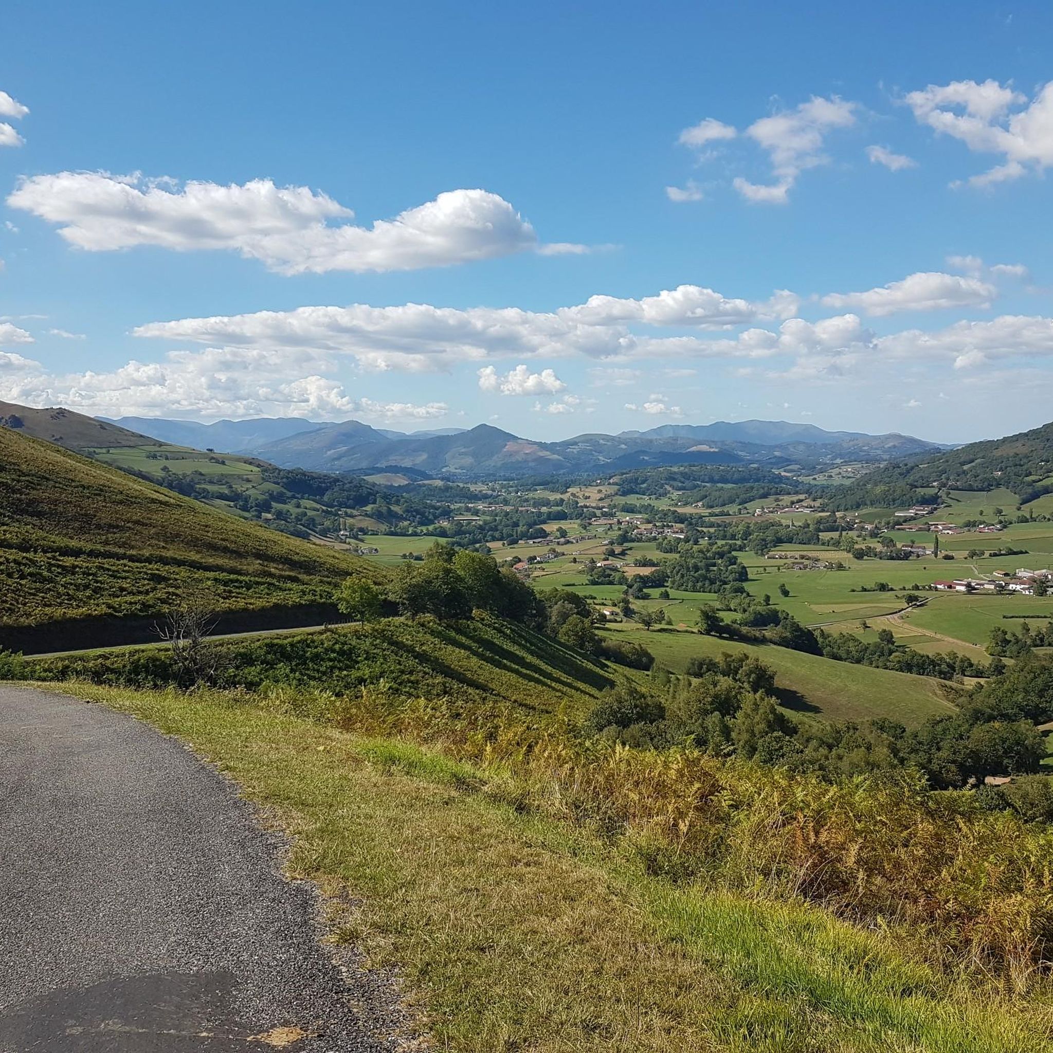
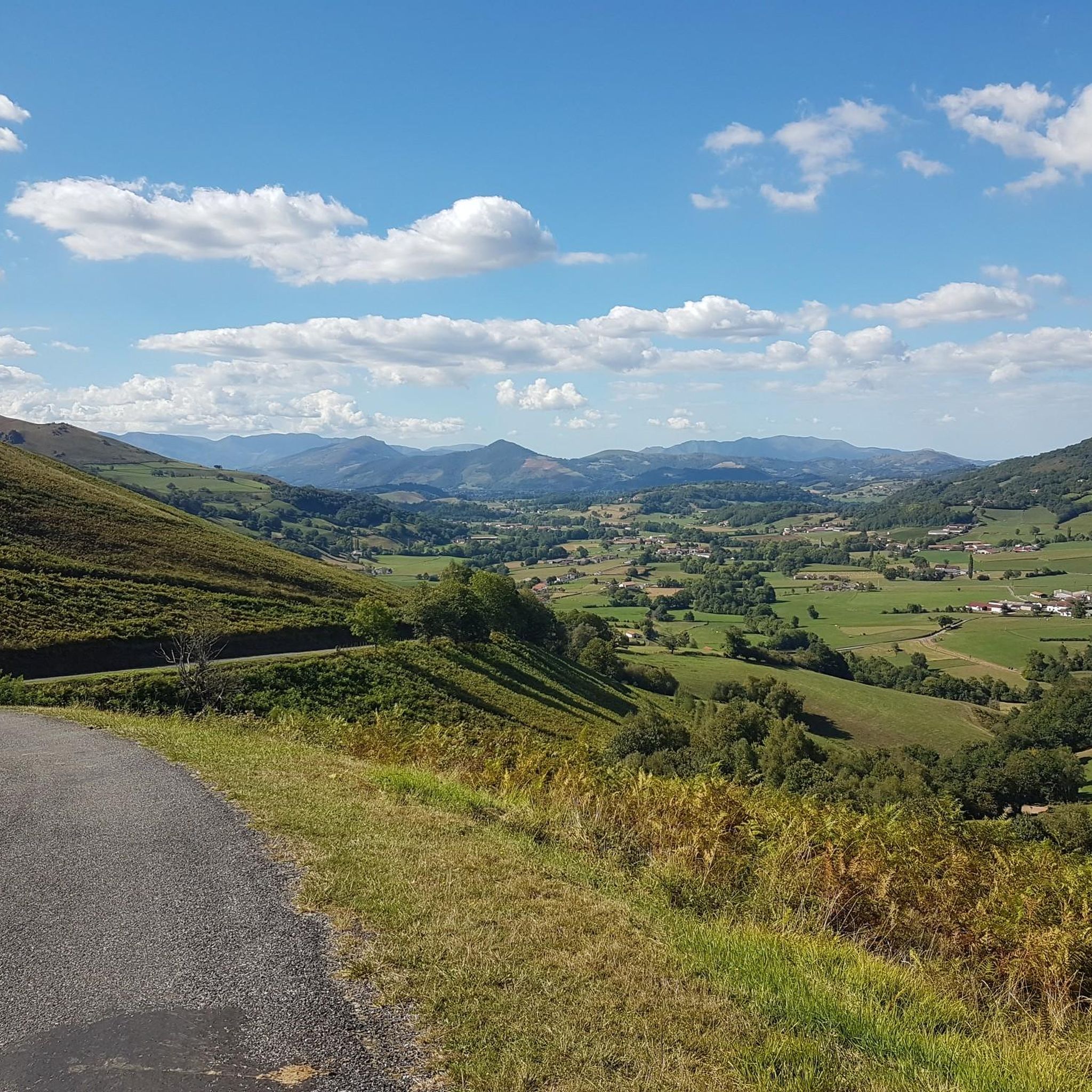
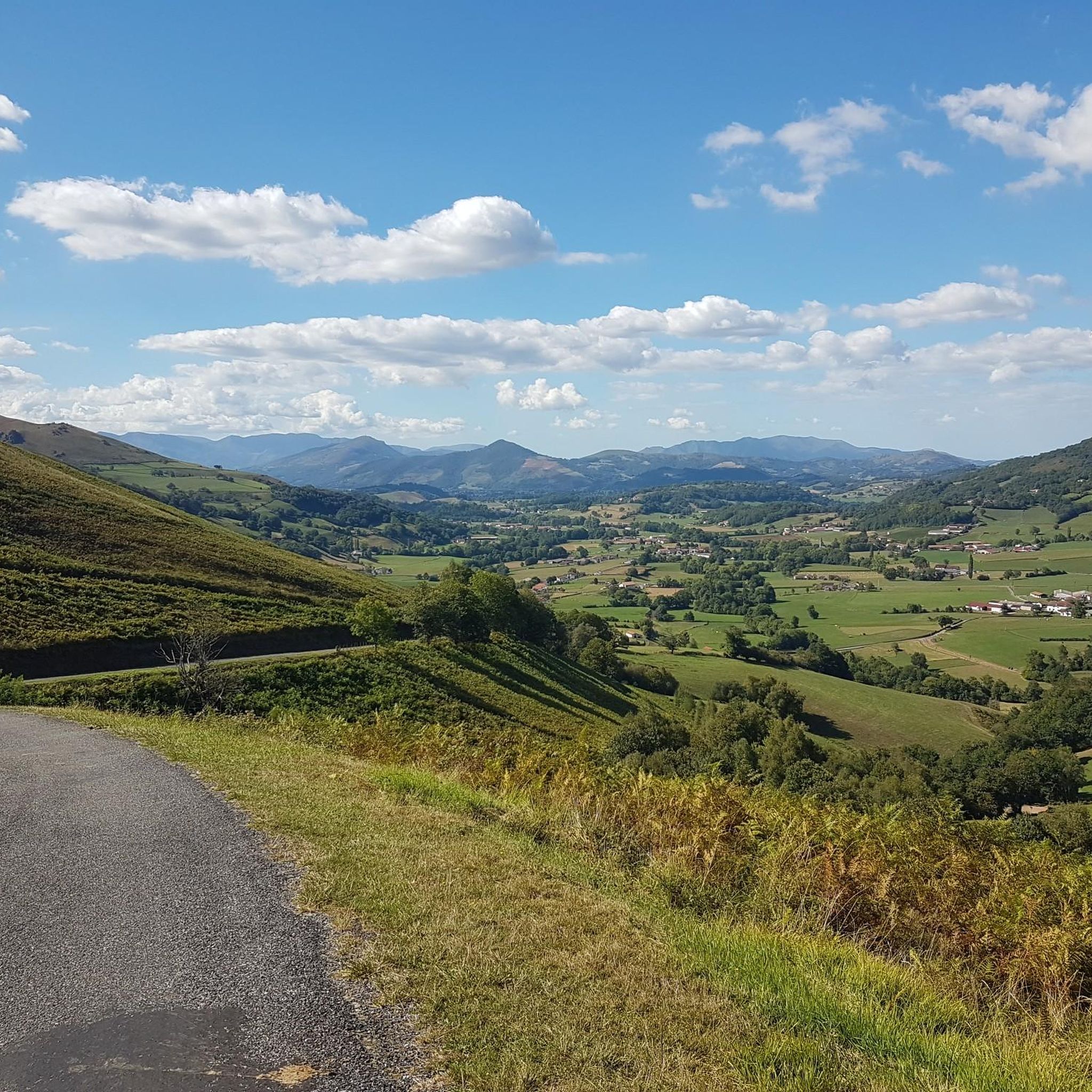
Not far from the Inhrupa pass and on the road to the Bagargui pass, the hostel allows you to take a well-deserved break with a beautiful view of the valley.
1
0
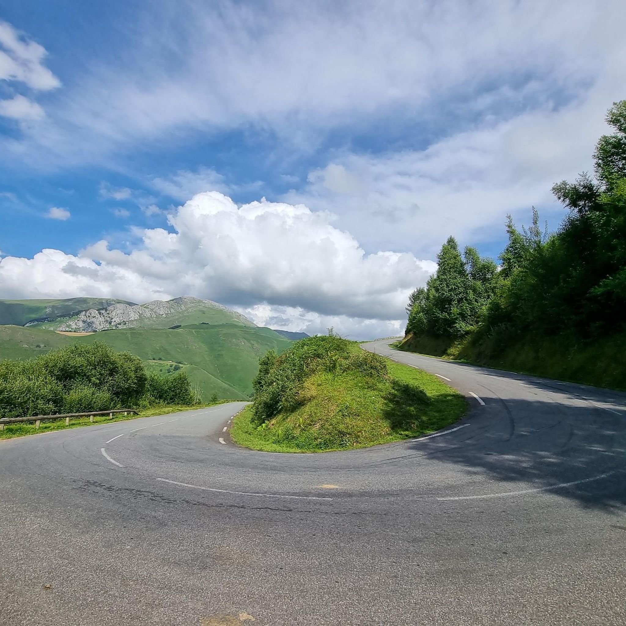
The road that leads to the Inharpu pass is magnificent. From Lecumberry, the climb is about 14 kilometers at an average of 5.3%. A few meters after the pass is the Auberge d'Ahusquy for a well-deserved break.
0
0
The Haritzarte pass is just below the ridge of the same name. Located between the Col d'Ergutze and the Pic de Béhorléguy, it offers a magnificent panorama of the Basque Country, including the crests of Iparla that can be seen in the distance.
5
1
The Hauzkoa peaks at 1,268 meters above sea level and offers a magnificent panorama over the Basque Country.
1
0
The Hauzkoa peaks at 1,268 meters above sea level and offers a magnificent panorama over the Basque Country.
0
0
The peak of Béhorléguy culminates at 1,265 meters above sea level on a beautiful rocky ridge. Superb panorama of the Basque Country, its peaks and the Atlantic coast on a sunny day.
3
0

Very nice climb to this summit which offers a superb unobstructed view! Easily accessible by mountain bike, why not in gravel with 45!
0
0
Frequently Asked Questions
How many hiking trails are available around Béhorléguy?
Béhorléguy offers a wide variety of hiking options, with over 110 trails recorded on komoot. These range from easy strolls to more challenging mountain excursions, catering to different fitness levels and preferences.
Are there easy hiking trails suitable for beginners or families in Béhorléguy?
Yes, Béhorléguy has approximately 20 easy hiking trails perfect for beginners or families. An excellent option is the Buluntzagaina loop from Bilgotza, which is 4.5 km long and takes about 1 hour 24 minutes to complete, offering a gentle ascent around a local hill.
What kind of terrain can I expect on hikes in Béhorléguy?
The terrain around Béhorléguy is characterized by rolling hills, significant mountain passes, and forested valleys, typical of the Basque Country. Trails often traverse open pastures and lead to viewpoints offering panoramic vistas.
Are there any circular walks in the Béhorléguy area?
Yes, many trails in Béhorléguy are circular, allowing you to start and end at the same point. For example, the Inharpu Pass – Ahusquy Inn loop from Ibarbürü lephoa is a moderate 11.1 km circular route that takes you through multiple passes.
What do other hikers enjoy most about hiking in Béhorléguy?
The komoot community highly rates the trails in Béhorléguy, with an average score of 4.4 stars from over 300 reviews. Hikers often praise the diverse terrain, the stunning panoramic views from the mountain passes, and the peaceful atmosphere of the Basque Countryside.
Are there any huts or inns along the hiking routes in Béhorléguy?
Yes, the region offers several options for rest or overnight stays. Notable spots include the Orisson Mountain Hut and Inn and the Gîte d'Étape Kaskoleta. The Inharpu Pass – Ahusquy Inn loop from Ibarbürü lephoa specifically leads towards a historic inn.
What are some notable mountain passes or viewpoints to explore around Béhorléguy?
Béhorléguy is known for its mountain passes offering great views. You can explore areas like Bagargui, Col d'Haritzarte, and Burdincurutcheta Pass. Many trails, such as the Haritzarte Pass – Béhorléguy loop from Béhorléguy, incorporate these scenic points.
What is the best time of year for hiking in Béhorléguy?
The best time for hiking in Béhorléguy is typically from spring to autumn (April to October). During these months, the weather is generally mild and pleasant, making for ideal hiking conditions. Summer offers warmer temperatures, while spring and autumn provide vibrant landscapes and cooler air.
Are there any longer or more challenging hikes for experienced hikers?
Yes, Béhorléguy offers about 27 difficult trails for experienced hikers. While specific challenging routes are not detailed here, you can find longer moderate options like the Buluntzagaina loop from Bascassan, which is 8.7 km and takes around 3 hours, providing a good workout with significant elevation changes.
Is it possible to access hiking trails in Béhorléguy using public transport?
While Béhorléguy is a rural area, some local bus services might connect to nearby towns. However, for direct access to many trailheads, especially those deeper in the mountains, a car is generally recommended. Always check local transport schedules in advance.
Are there any cafes or restaurants near the hiking trails in Béhorléguy?
Yes, you can find places to eat and drink. The Iraty Chalets, for instance, offer restaurant services and are located within the broader hiking area. Some inns and gîtes also provide meals for hikers.
What should I wear for hiking in Béhorléguy?
Given the varied terrain and potential for changing weather in the Basque Country, it's advisable to wear layers. Sturdy hiking boots are essential, especially for trails with elevation changes. Always carry waterproof outerwear, even on sunny days, and bring plenty of water.
Most popular attractions around Béhorléguy

Get inspired with the komoot mobile app


Explore more
Browse the best Hikes in other regions.
