The best running trails around Saint-Benoit-En-Diois
4.4
(22)
639
runners
55
runs
Jogging around Saint-Benoit-En-Diois offers diverse terrain in the Drôme department of southeastern France. The region features challenging mountain passes and peaks, including the Col de Pennes and Col de la Chaudière, alongside serene riverside paths along the Drôme River. Runners can explore routes through extensive forests and the vast, roadless Hauts Plateaux du Vercors natural reserve. This landscape provides varied options for running, from demanding ascents to tranquil valley trails.
Best jogging routes around Saint-Benoit-En-Diois
- The most popular jogging route…
Last updated: October 4, 2026
52
runners
6.28km
01:25
550m
550m
Hard run. Very good fitness required. Sure-footedness, sturdy shoes and alpine experience required.
44
runners
9.51km
01:59
690m
690m
Hard run. Very good fitness required. Sure-footedness, sturdy shoes and alpine experience required.

4.6
(5)
16
runners
6.55km
00:47
120m
120m
Moderate run. Good fitness required. Mostly paved surfaces. Suitable for all skill levels.
7
runners
15.8km
02:28
770m
770m
Hard run. Very good fitness required. Mostly paved surfaces. Suitable for all skill levels.
5
runners
21.3km
02:17
220m
220m
Hard run. Very good fitness required. Mostly paved surfaces. Suitable for all skill levels.
Get access to more routes and recommendations from other explorers.
Already have an account?
Our route recommendations are based on thousands of hikes, rides, and runs completed by other people on komoot.
Start today with a free account
Your next adventure awaits.
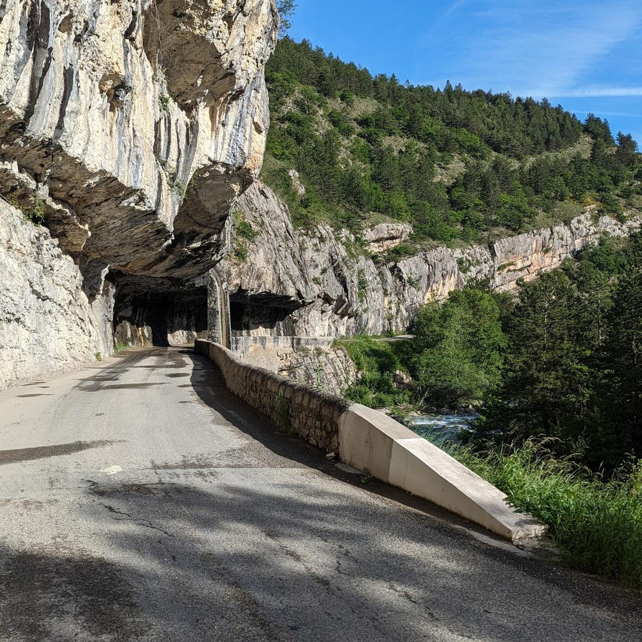
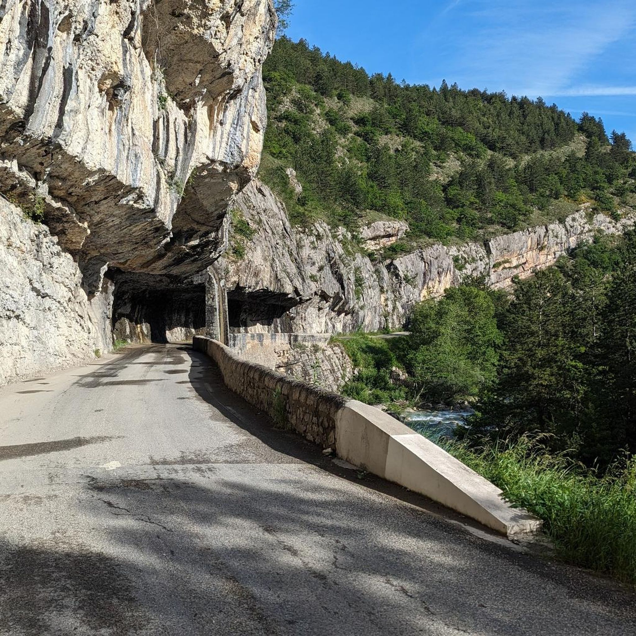
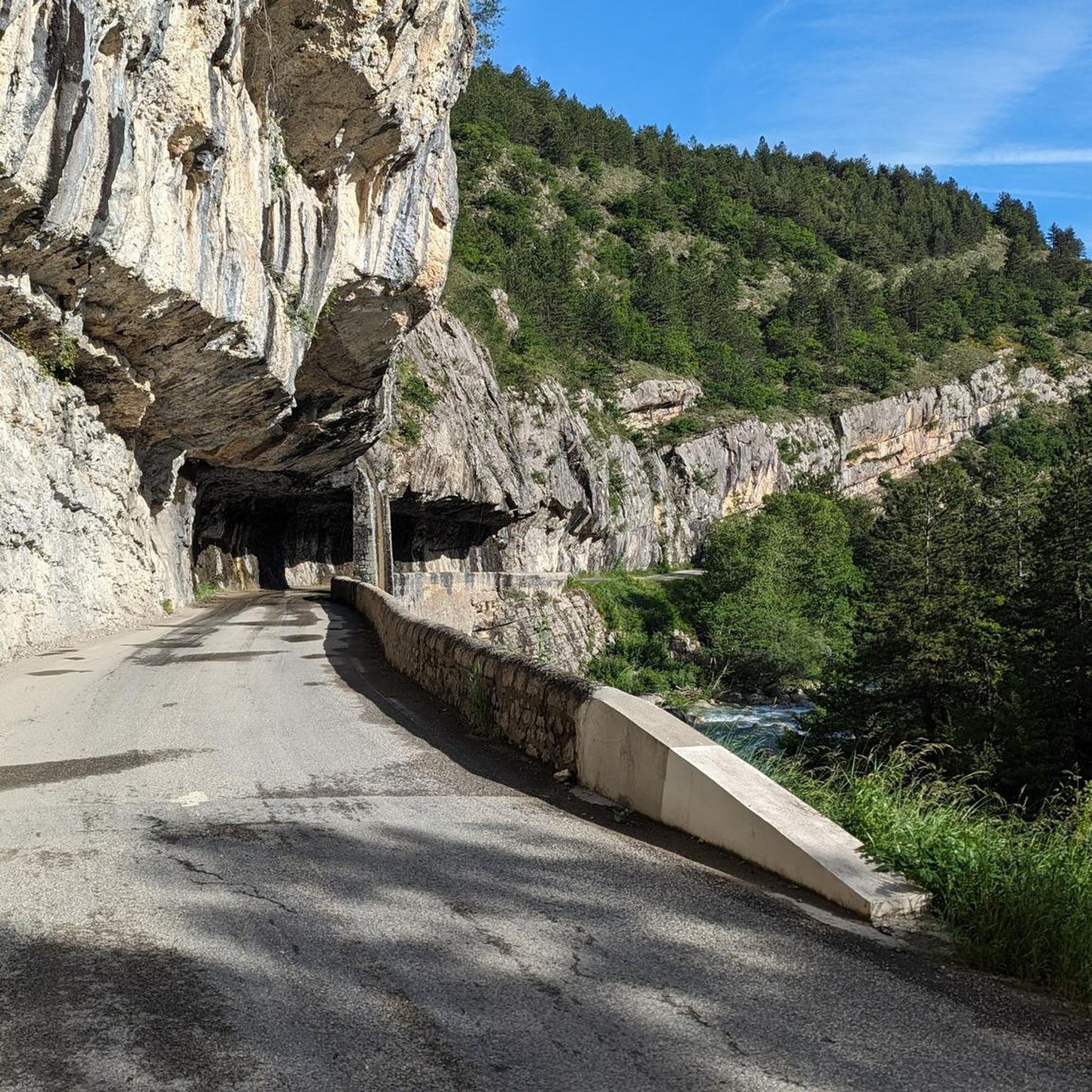
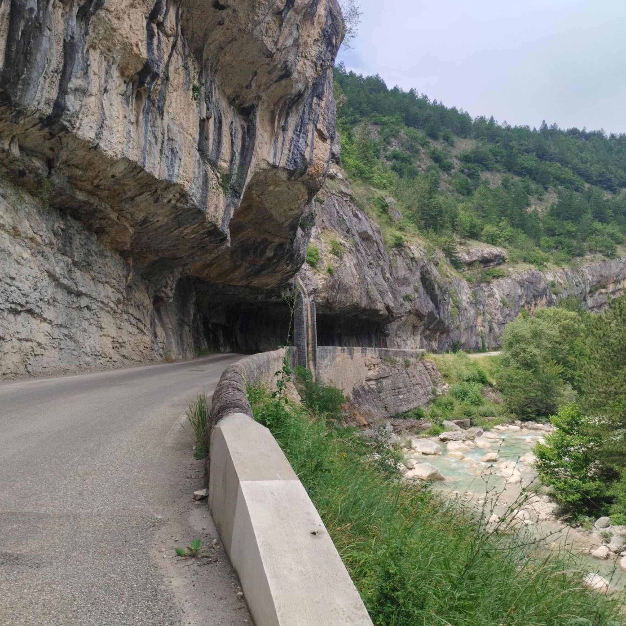

Tips from the Community

The return route is impossible to find. It is recommended to retrace your steps, as the route indicates a 50% elevation gain at the end after a full-circle climb across the southern savannah. Otherwise, the view of the Veyou and the surrounding area is extraordinary.
1
0


Beautiful mountain, the ridges in spring are grassy with flowers and magnificent views, hike done before the summer pastures (because pastures and patou)
1
0

Beautiful mountain walk over the 3 peaks of the Drome with views to the Alps, Rhone Valley and Mont Ventoux 👌🏻
3
0

Nice little place on the Drôme, with castle ruins.
1
0

Pretty village in the heart of the valley. The ruin is nice to visit and is done in Gravel. There are also 2 small waterfalls behind the village. In the direction of Saillans, take the secondary road on the left bank of the Drôme.
0
0

Located at 1,545 meters above sea level, Roche Courbe is part of the Trois Becs, one of the main mountain ranges of the Drôme. The ascent is therefore an essential step for anyone wishing to discover the jewels of the region.
1
0
Frequently Asked Questions
How many running routes are available in the Saint-Benoit-En-Diois region?
There are over 50 dedicated running routes around Saint-Benoit-En-Diois, catering to various fitness levels. You'll find everything from moderate riverside paths to challenging mountain ascents.
What kind of terrain can I expect on the running trails in Saint-Benoit-En-Diois?
The region offers diverse terrain, including challenging mountain passes like the Col de Pennes and Col de la Chaudière, serene paths along the Drôme River, and routes through extensive forests. You can also find trails leading into the vast Hauts Plateaux du Vercors natural reserve for a wilder experience.
Are there any easy or beginner-friendly running routes in the area?
Yes, while many routes are moderate to difficult, there are options suitable for beginners. For example, the Running loop from Vercheny is a moderate 4.1-mile path that includes sections along the Drôme River, offering a less strenuous experience.
Are there any circular running routes in Saint-Benoit-En-Diois?
Many routes in the region are designed as loops. For instance, the Grand Delmas loop from Rochefourchat is a 9.8-mile trail that takes you through mountain passes and forested areas, providing a complete circular experience.
What are some scenic points or attractions I can see while running in Saint-Benoit-En-Diois?
The region is rich in natural beauty and historical sites. You might encounter stunning views from mountain passes like Col de Pennes or Col de la Chaudière. Paths along the Drôme River offer picturesque waterscapes. Additionally, charming villages like Saillans and Pontaix with its medieval tower are worth exploring.
What do other runners enjoy most about the trails in Saint-Benoit-En-Diois?
The running routes in Saint-Benoit-En-Diois are highly rated by the komoot community, with an average score of 4.6 stars. Reviewers often praise the diverse terrain, from challenging mountain ascents to tranquil riverside paths, and the unspoiled natural environment.
Are there any challenging mountain running routes for experienced runners?
Absolutely. Experienced runners can tackle demanding routes such as the Ascent to the Trois Becs – Le Veyou loop from La Chaudière, which features a significant elevation gain over 3.9 miles. Another challenging option is the Montagne de Faraud – Col de Faraud loop from La Chaudière, covering 15.8km with 760m of elevation gain.
Is Saint-Benoit-En-Diois suitable for family-friendly running or walking?
While many trails involve significant elevation, the region does offer gentler paths, particularly along the Drôme River, which can be suitable for families looking for a more relaxed run or walk. Always check the route details for distance and elevation to ensure it matches your family's capabilities.
What is the best time of year to go running in Saint-Benoit-En-Diois?
The spring and autumn months generally offer the most pleasant conditions for running, with milder temperatures and beautiful scenery. Spring brings vibrant wildflowers, especially in areas like the Vallon de Combeau, while autumn showcases stunning foliage. Summer can be warm, especially at lower elevations, so early morning or late evening runs are recommended then. Winter can bring snow to higher mountain passes, making some routes more challenging or inaccessible.
Are there any specific considerations for parking when accessing running trails?
Many trailheads, especially those near popular passes like Col de la Chaudière or villages like Rochefourchat and Vercheny, typically have designated parking areas. It's advisable to check specific route descriptions on komoot for detailed parking information for your chosen starting point.
Can I access running routes in Saint-Benoit-En-Diois using public transport?
Public transport options in this rural region can be limited. While some villages might have bus services, direct access to many remote trailheads by public transport is not always feasible. Planning your route with a car is often the most convenient way to reach the diverse starting points for running trails.
Are there any amenities like cafes or accommodation near the running trails?
Saint-Benoit-En-Diois and nearby charming villages like Saillans and Pontaix offer various amenities. You can find cafes, restaurants, and accommodation options in these settlements, perfect for refueling or resting after your run. For specific trails, checking the nearest village will give you an idea of available services.
Most popular routes around Saint-Benoit-En-Diois
Most popular attractions around Saint-Benoit-En-Diois

Get inspired with the komoot mobile app


Explore more
Browse the best Running Trails & Routes in other regions.
