The best running trails around Champétières
4.6
(5)
1,070
runners
133
runs
Jogging routes around Champétières traverse a varied landscape within the Parc Naturel Régional Livradois-Forez, featuring mountains, valleys, and extensive forests. The region offers diverse running surfaces and gradients, from gentle paths along river valleys to more strenuous climbs around mountain passes like Col des Pradeaux. Unspoiled forests and winding streams, such as the Gourre, provide tranquil, shaded routes, often with historical elements like old mill remains. This combination of natural features makes Champétières suitable for a range of running experiences.
…Last updated: July 15, 2026
4.0
(1)
73
runners
21.4km
02:22
370m
370m
Hard run. Very good fitness required. Mostly paved surfaces. Suitable for all skill levels.
59
runners
32.5km
03:45
640m
640m
Hard run. Very good fitness required. Mostly paved surfaces. Suitable for all skill levels.

Sign up for free
24
runners
12.4km
01:20
80m
80m
Moderate run. Good fitness required. Mostly paved surfaces. Suitable for all skill levels.
21
runners
4.94km
00:34
20m
20m
Easy run. Great for any fitness level. Mostly paved surfaces. Suitable for all skill levels.
9
runners
9.36km
00:58
40m
40m
Moderate run. Good fitness required. Mostly paved surfaces. Suitable for all skill levels.
Get access to more routes and recommendations from other explorers.
Sign up for free
Already have an account?
Our route recommendations are based on thousands of hikes, rides, and runs completed by other people on komoot.
Start today with a free account
Your next adventure awaits.
Login or Signup
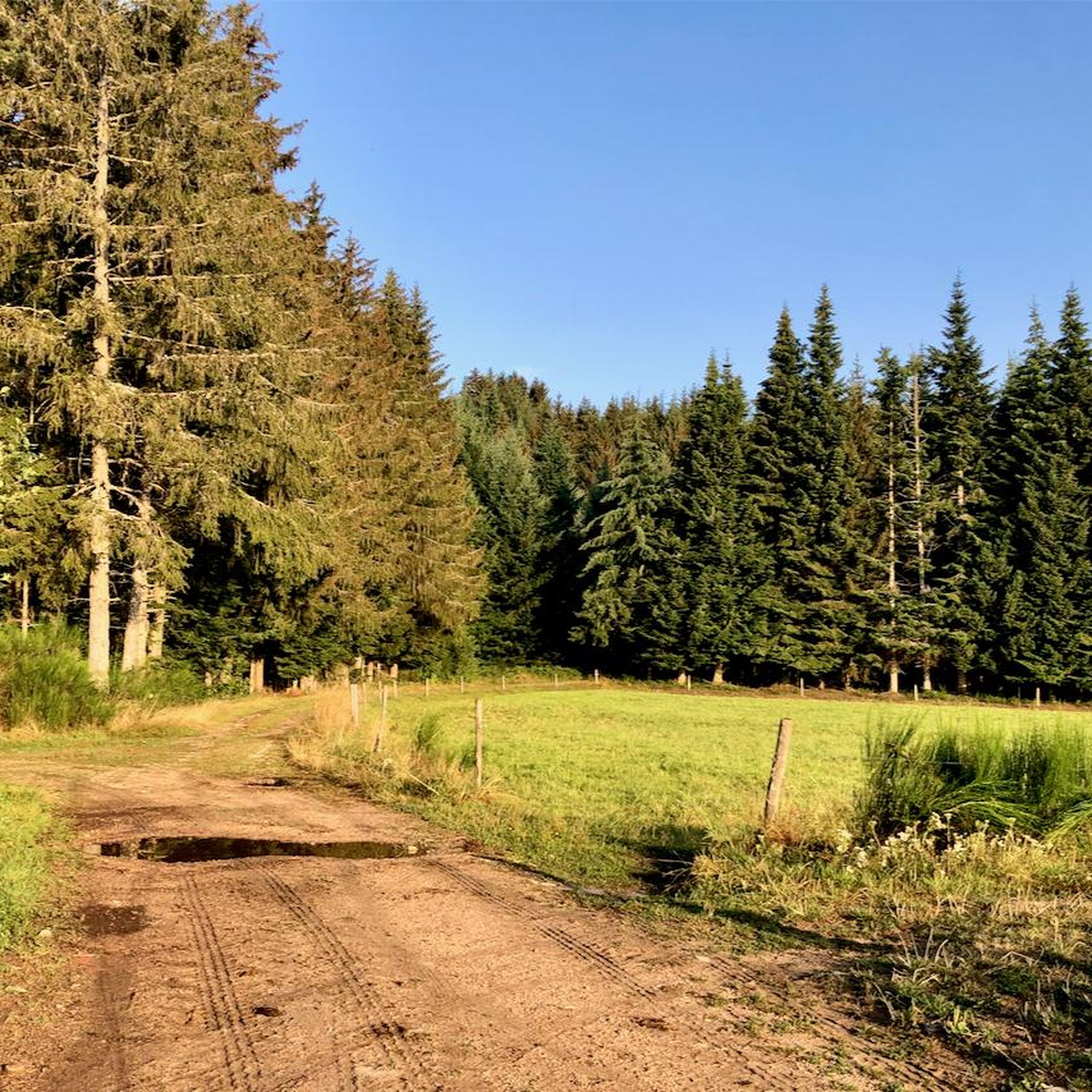
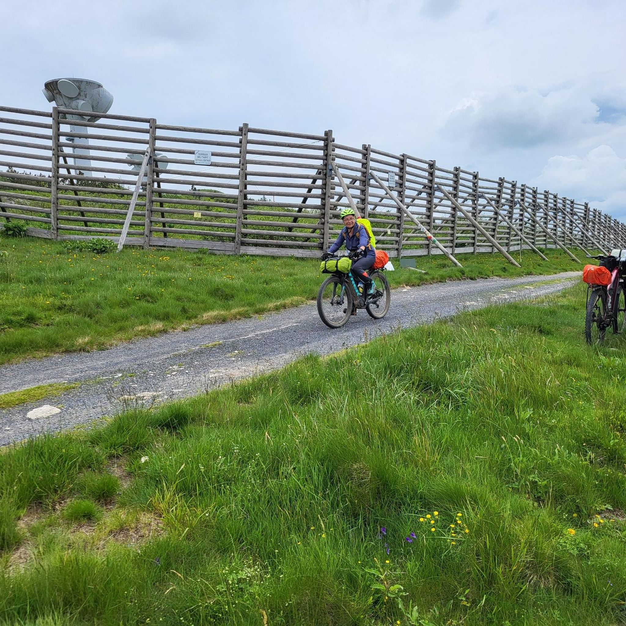


Tips from the Community

The Saint-Jean church is a catholic church in Ambert. It was built between 1471 and 1518. It is classified as a historical monument.
2
0

very nice leisure center with games for children, swimming area, pedal boat ...
0
0
Ambert station has several railcars and various machines for tourist purposes traveling to La Chaise Dieu. it is also possible to rent bicycle rails.
0
0
Frequently Asked Questions
How many running routes are available around Champétières?
There are over 130 jogging routes in and around Champétières, offering a wide variety of experiences for all fitness levels. The area is situated within the Parc Naturel Régional Livradois-Forez, providing extensive networks of trails.
What kind of terrain can I expect on the running trails near Champétières?
The region around Champétières boasts diverse terrain, including mountains, valleys, and extensive forests. You'll find a mix of running surfaces and gradients, from gentle paths along river valleys like the Ance and Dore, to more strenuous climbs around mountain passes such as Col des Pradeaux. Many routes also feature tranquil, shaded sections through unspoiled forests and alongside winding streams.
Are there any easy running routes suitable for beginners or a relaxed jog?
Yes, Champétières offers several easier options. For a relatively flat and accessible run, consider routes around the nearby town of Ambert. An example is the Ambert Train Station – Val d'Or Leisure Center loop from Ambert, which is an easy 2.4-mile (3.9 km) path with minimal elevation change.
What do other runners enjoy most about jogging in Champétières?
The running routes in Champétières are highly rated by the komoot community, with an average score of 4.2 stars from 5 reviews. Runners often praise the diverse terrain, the peaceful forest sections, and the rewarding views, especially on more challenging trails. Over 1000 runners have used komoot to explore the area's varied landscape.
Are there any long-distance or challenging running trails for experienced runners?
Absolutely. For those seeking a challenge, Champétières has many difficult routes. A popular choice is the Saint-Jean Church, Ambert loop from Aérodrome d'Ambert-Le-Poyet, a demanding 20.2-mile (32.5 km) trail with significant elevation changes and panoramic views. Another excellent option is the Étangs de Cartier – Lavoir loop from Aérodrome d'Ambert-Le-Poyet, a difficult 13.3-mile (21.4 km) path traversing varied terrain near the Étangs de Cartier.
Can I find running routes that pass by interesting landmarks or historical sites?
Yes, many routes offer a glimpse into the region's history and natural beauty. Trails along streams like the Gourre feature remains of old papermaking mills, adding a unique historical dimension to your run. The nearby town of Ambert, with its medieval and 19th-century architecture, also provides an interesting backdrop for runs, and you can explore highlights like Medieval Ambert or the Richard-de-Bas Mill.
Are there any circular running routes around Champétières?
Yes, many of the running paths in the area are circular, allowing you to start and finish at the same point. For example, the Val d'Or Leisure Center – Ambert Train Station loop from Ambert is a popular 7.9-mile (12.8 km) circular route through the area around Ambert.
Are there running routes that go near lakes or water features?
Indeed. The region features several scenic routes near water. The Étangs de Cartier – Lavoir loop from Aérodrome d'Ambert-Le-Poyet and the Étangs de Cartier loop from Marsac-en-Livradois both traverse sections near the beautiful Étangs de Cartier, offering a mix of forest and open views over the water.
What is the best time of year for running in Champétières?
Champétières offers great running opportunities throughout the year. Spring and autumn provide pleasant temperatures and beautiful scenery with changing foliage. Summer is ideal for shaded forest routes, especially along streams like the Gourre. Even winter can be rewarding for running, though some higher elevation trails might require appropriate gear or be less accessible depending on snow conditions.
Are there any running routes suitable for families with children?
While specific 'family-friendly' routes are not explicitly detailed, the region's easier and moderate trails, particularly those with less elevation gain and shorter distances, could be suitable for families. Look for routes around Ambert or the Étangs de Cartier that offer gentle paths and scenic views without being overly strenuous.
Where can I find parking for the running trails?
Many routes start from accessible points with parking. For routes originating near Ambert, you can often find parking within the town or at designated trailheads. For example, routes starting 'from Aérodrome d'Ambert-Le-Poyet' or 'from Ambert' typically have parking facilities nearby, making it convenient to access the trails.
Most popular attractions around Champétières

Get inspired with the komoot mobile app


Explore more
Browse the best Running Trails & Routes in other regions.
