Saint-Dalmas-Le-Selvage
Saint-Dalmas-Le-Selvage
The best mountain hikes around Saint-Dalmas-Le-Selvage
5.0
(4)
44
hikers
2
hikes
Mountaineering routes around Saint-Dalmas-Le-Selvage offer access to the high alpine environment of the French Alps, characterized by challenging mountain passes, pristine glacial lakes, and rugged peaks. The region provides a diverse range of terrain, from coniferous forests and meadows to rocky alpine areas above 2200 meters. Notable features include natural mountain lakes such as the Roburent Lakes and Lac d'Allos, and high-altitude passes like Col de la Bonette. These routes navigate through varied landscapes, from rocky ascents to high-altitude plateaus…
Last updated: August 18, 2026
17
hikers
Hard mountaineering route. Very good fitness required. Sure-footedness, sturdy shoes and alpine experience required.
12
hikers
Moderate mountaineering route. Good fitness required. Mostly accessible paths. Sure-footedness required.

Sign up for free
7
hikers
Hard mountaineering route. Very good fitness required. Sure-footedness, sturdy shoes and alpine experience required.
5.0
(4)
7
hikers
7.48km
02:12
210m
210m
Moderate mountaineering route. Good fitness required. Easily-accessible paths. Suitable for all skill levels.
Our route recommendations are based on thousands of hikes, rides, and runs completed by other people on komoot.
Start today with a free account
Your next adventure awaits.
Login or Signup
Popular around Saint-Dalmas-Le-Selvage

Hike from Saint-Étienne-de-Tinée to Briançon – Europe Trail (GR 5)

Mountains and marmots — France’s Ubaye trail (GR 56)
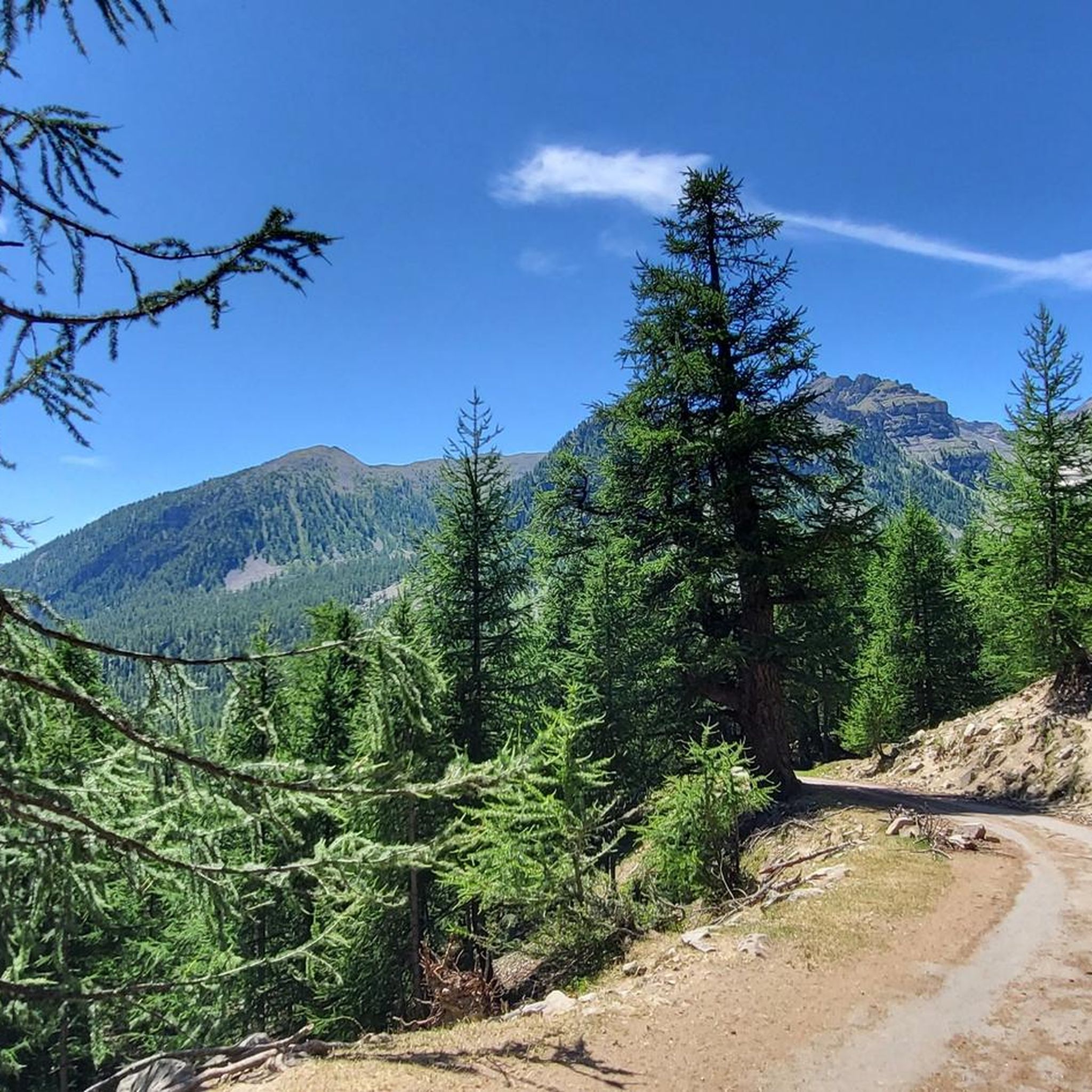
Hiking around Saint-Dalmas-Le-Selvage
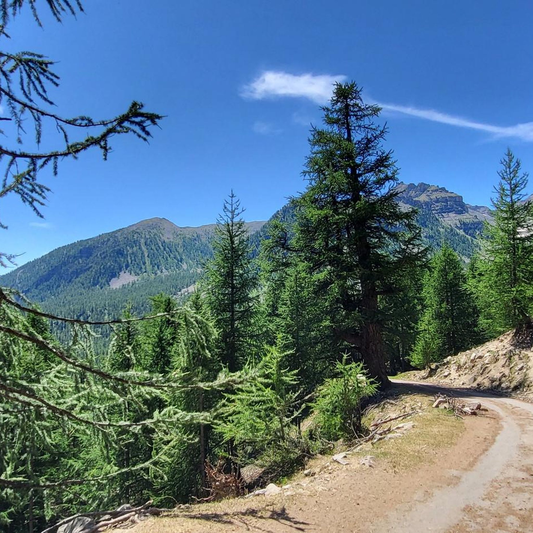
Road Cycling Routes around Saint-Dalmas-Le-Selvage
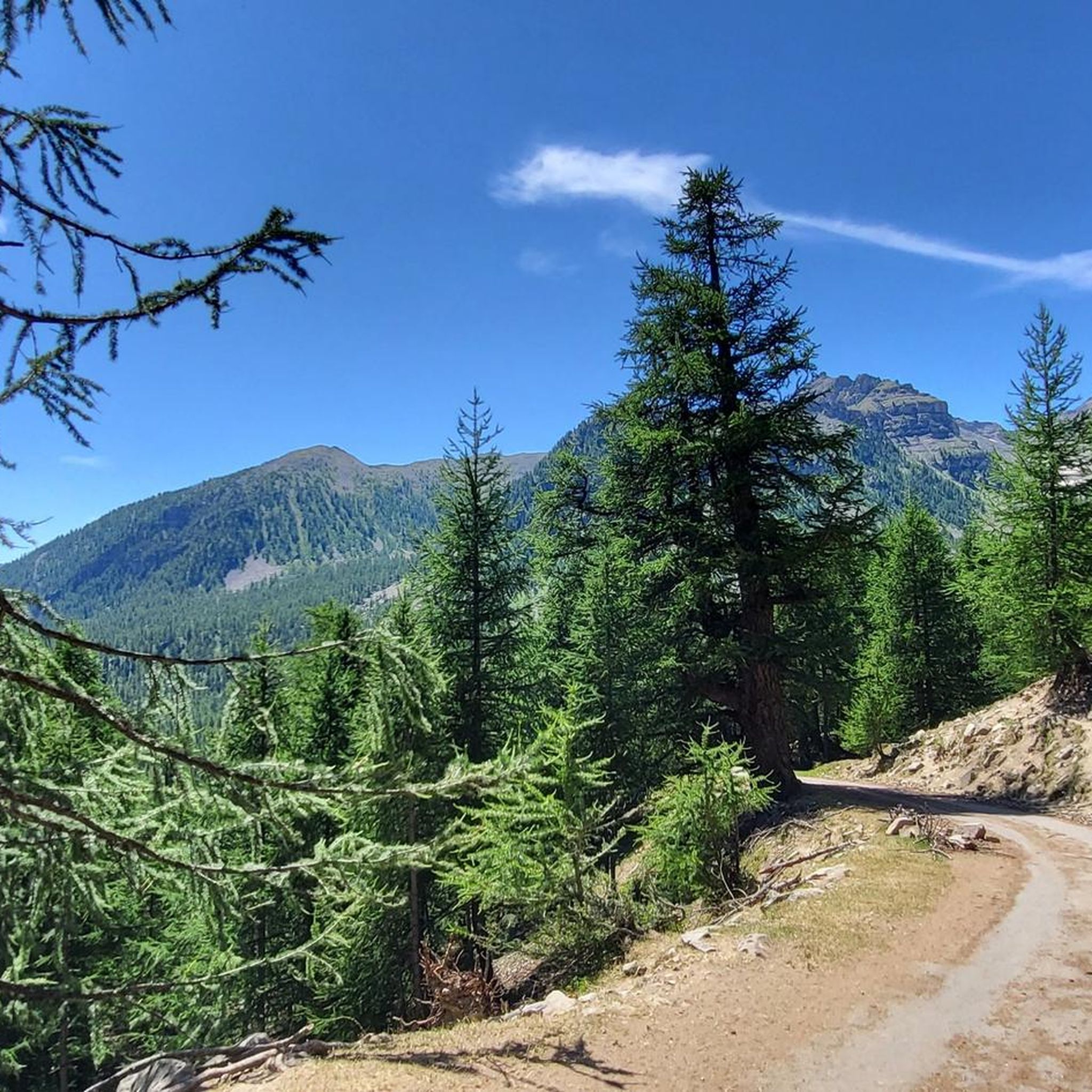
MTB Trails around Saint-Dalmas-Le-Selvage
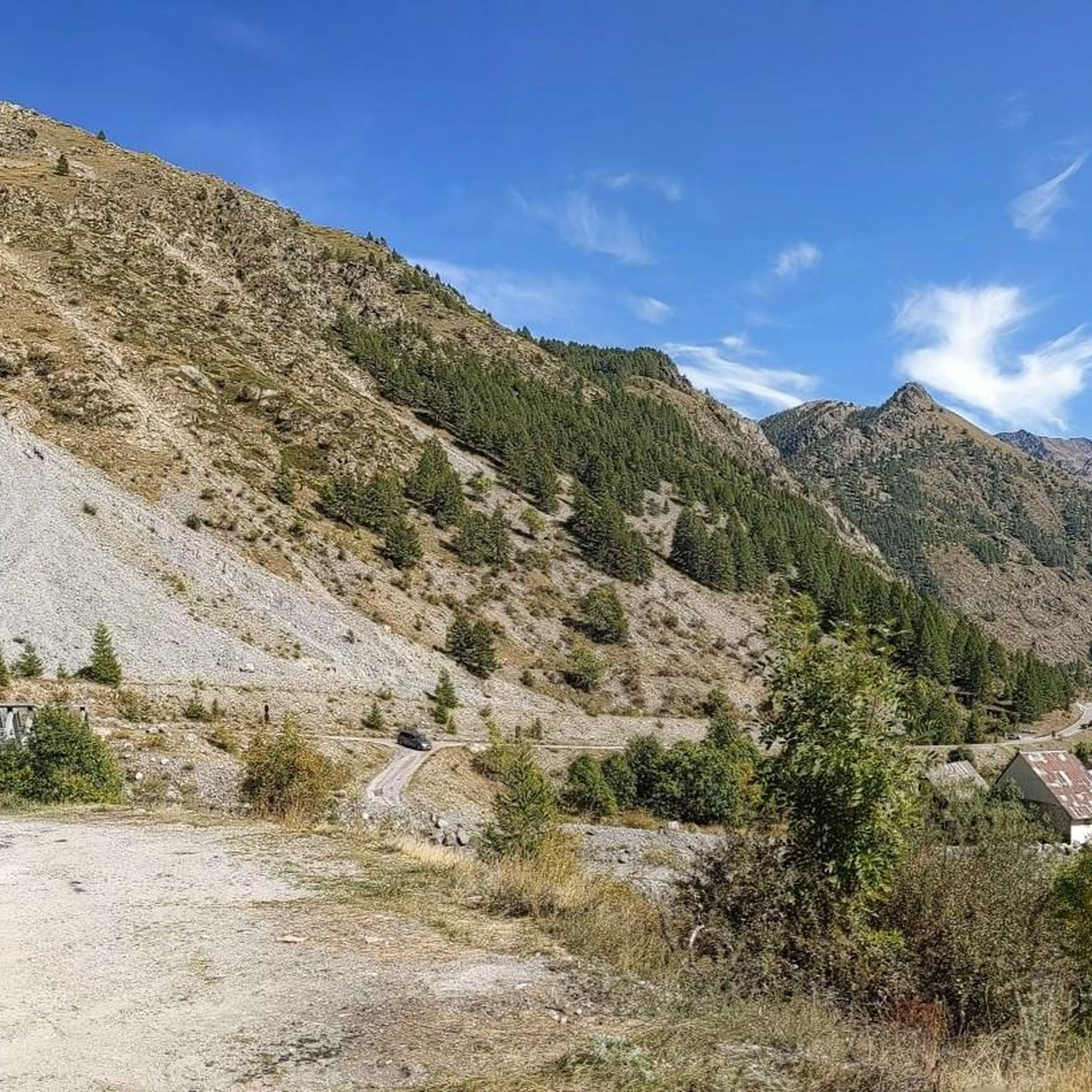
Cycling around Saint-Dalmas-Le-Selvage
Running Trails around Saint-Dalmas-Le-Selvage

Gravel biking around Saint-Dalmas-Le-Selvage
Other adventures around Saint-Dalmas-Le-Selvage


Tips from the Community

Important pass between France and Italy, it is surrounded by a frame of wonderful mountains, which make you want to return to the valley. Several points of interest "anthropogenic" - including: French side, a contour line model of the area of the pass; Italian side, memorial monuments to Tazio Nuvolari and Fausto Coppi, protagonist on this pass of the legendary feat of the Cuneo-Pinerolo stage in 1949.
1
0
Important pass between France and Italy, it is surrounded by a frame of wonderful mountains, which make you want to return to the valley. Several points of interest "anthropogenic" - including: French side, a contour line model of the pass area; Italian side, memorial monuments to Tazio Nuvolari and Fausto Coppi, protagonist on this pass of the legendary feat of the Cuneo-Pinerolo stage in 1949.
0
0


Magnificent, not to be missed, the effort is worth it.
0
0
A first step before the magnificent Roburent lake 🇮🇹
0
0
Very beautiful lake in a superb landscape. Few people in September so very pleasant. Just watch out for the sheepdogs, not aggressive but impressive.
0
0

July 2025: Please note that upon exiting the tunnel, towards Cima Scaletta, the path is blocked by a landslide, making it more difficult to walk.
2
0

Lovely place to eat, drink or spend the night.
1
0
Frequently Asked Questions
What is the overall difficulty level of mountaineering routes around Saint-Dalmas-Le-Selvage?
The routes in this region are generally suited for experienced mountaineers, with a mix of moderate and difficult trails. You'll find challenging mountain passes and significant elevation gains, characteristic of the high alpine environment of the French Alps.
Are there any moderate mountaineering routes suitable for those looking for a less strenuous day out?
Yes, there are moderate options available. For example, the Lac d'Allos Refuge – Lake Allos loop from Lac d'Allos is a moderate 7.3 km route that can be completed in about 2 hours 10 minutes, offering a rewarding experience without extreme difficulty.
What kind of natural landmarks can I expect to see along these mountaineering routes?
The routes often feature stunning natural landmarks. You can encounter pristine glacial lakes, such as Lake Allos, and traverse high mountain passes like Cayolle Pass or Col de la Bonette, offering expansive alpine views.
Are there any circular mountaineering routes in the Saint-Dalmas-Le-Selvage area?
Yes, several routes are designed as loops. A notable example is the Roburent Lakes – Upper Roburent Lake loop from Col de Larche / Colle della Maddalena, a difficult 15.1 km trail that takes approximately 5 hours 35 minutes to complete, offering stunning lake views.
What is the best season for mountaineering around Saint-Dalmas-Le-Selvage?
The best season for mountaineering in this high alpine region is typically from late spring to early autumn (June to September) when snow has largely melted from higher elevations and weather conditions are more stable. Always check local weather forecasts and trail conditions before heading out.
Are there any particularly challenging routes for experienced mountaineers?
Absolutely. For those seeking a significant challenge, the Lac de l'Orrenaye – Lake Oronaye loop from Col de Larche / Colle della Maddalena is a difficult 18.8 km trail that leads through high mountain terrain, typically requiring around 7 hours 17 minutes to complete.
What do other mountaineers say about the routes in Saint-Dalmas-Le-Selvage?
The komoot community highly rates the mountaineering routes around Saint-Dalmas-Le-Selvage, with an average score of 5.0 stars from 6 reviews. Mountaineers often praise the pristine alpine environment, challenging ascents, and the rewarding views of glacial lakes and rugged peaks.
Are there any routes that offer views of multiple lakes or mountain huts?
Yes, some routes provide access to multiple scenic points. For instance, the Collet de Tortisse – View of Lac de Vens loop from Argentera is a difficult 14.7 km route that offers views of Lac de Vens and passes near the Refuge de Vens.
How many mountaineering routes are available in the Saint-Dalmas-Le-Selvage area?
There are several mountaineering routes available, with a total of 4 distinct tours documented in this guide, offering a range of experiences from moderate to difficult.
Can I find routes that pass by mountain huts or refuges for potential breaks?
Yes, some routes are situated near mountain huts. For example, the area features the Guglielmo Migliorero Hut and the Refuge de Vens, which can serve as points of interest or rest stops on longer tours.
What are the typical elevation gains on mountaineering routes here?
Elevation gains vary significantly depending on the route's difficulty. Moderate routes might see around 200-500 meters of ascent, while difficult routes can involve substantial climbs, often exceeding 700-900 meters, reflecting the challenging alpine terrain.
Most popular routes around Saint-Dalmas-Le-Selvage
Most popular attractions around Saint-Dalmas-Le-Selvage

Get inspired with the komoot mobile app


Explore more
Browse the best Mountain Hikes & Routes in other regions.
