The best mountain hikes around Saint-Étienne-De-Tinée
5.0
(1)
49
hikers
6
hikes
Mountaineering routes around Saint-Étienne-De-Tinée traverse a high alpine landscape at the gateway to the Mercantour National Park. The region is characterized by majestic peaks, significant mountain passes, and diverse alpine flora. These routes often feature glacial lakes, rocky summits, and forested valleys, with terrain elevation ranging from the valley floor to over 3,000 meters.
Best mountaineering routes around Saint-Étienne-De-Tinée
- The most popular mountaineering route is Vens Lakes loop from Santuario di Sant'Anna di Vinadio, a 6.2 miles (9.9 km) trail that takes 3 hours 26 minutes to complete. This moderate route features a steady ascent to a series of alpine lakes.
- Another top favourite among local mountaineers is Roburent Lakes – Upper Roburent Lake loop from Col de Larche / Colle della Maddalena, a difficult 9.4 miles (15.1 km) path. This challenging trail includes significant elevation gain and offers expansive mountain vistas.
- Local mountaineers also love the Lac de l'Orrenaye – Lake Oronaye loop from Col de Larche / Colle della Maddalena, a 11.7 miles (18.8 km) trail leading through high mountain passes and past alpine lakes, often completed in about 7 hours 17 minutes.
- Mountaineering around Saint-Étienne-De-Tinée is defined by high mountain passes, glacial lakes, and rocky summits within the Mercantour National Park. The network offers options for different ability levels, including challenging mountaineering trails.
- The routes in Saint-Étienne-De-Tinée are highly rated by the komoot community with an average score of 4.8 stars from over 5 reviews. More than 70 mountaineers have used komoot to explore Saint-Étienne-De-Tinée's varied terrain.
Last updated: October 12, 2026
17
hikers
Hard mountaineering route. Very good fitness required. Sure-footedness, sturdy shoes and alpine experience required.
12
hikers
Moderate mountaineering route. Good fitness required. Mostly accessible paths. Sure-footedness required.

5.0
(1)
8
hikers
15.8km
07:43
1,260m
1,260m
Hard mountaineering route. Very good fitness required. Sure-footedness, sturdy shoes and alpine experience required.
7
hikers
Hard mountaineering route. Very good fitness required. Sure-footedness, sturdy shoes and alpine experience required.
5.0
(1)
6
hikers
15.4km
07:56
1,320m
1,320m
Hard mountaineering route. Very good fitness required. Sure-footedness, sturdy shoes and alpine experience required.
Our route recommendations are based on thousands of hikes, rides, and runs completed by other people on komoot.
Start today with a free account
Your next adventure awaits.
Popular around Saint-Étienne-De-Tinée

GR 5 – The Europe Trail from the Mediterranean to Germany

Europe Trail (GR 5) – Hike from Nice to Saint-Étienne-de-Tinée

Route des Grandes Alpes

Cycling from the Italian Riviera to the French Alps – Alpine Arc (part 1)

Hike from Saint-Étienne-de-Tinée to Briançon – Europe Trail (GR 5)

France — two weeks of hiking at its best!
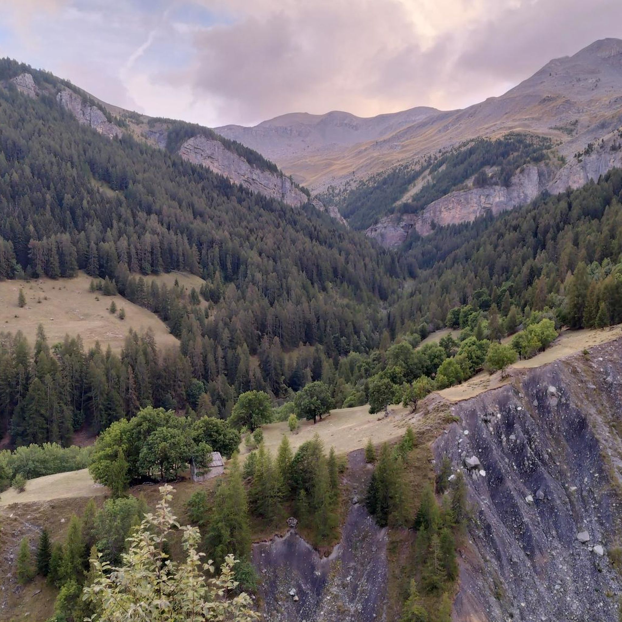
Hiking around Saint-Étienne-De-Tinée
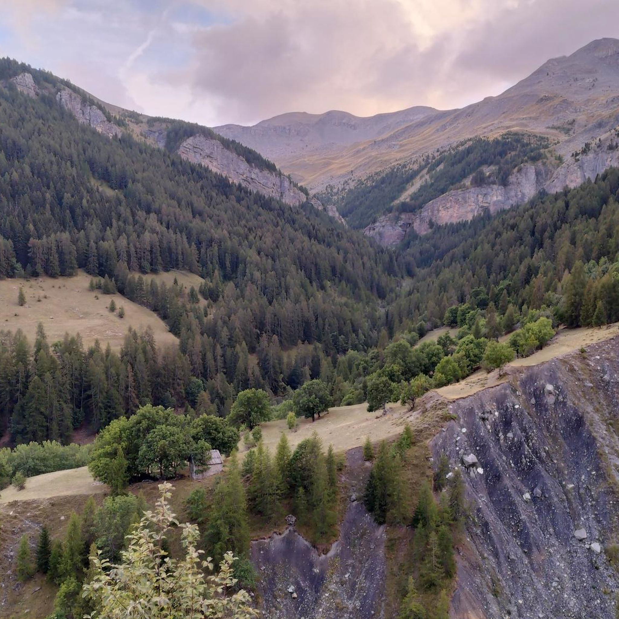
Road Cycling Routes around Saint-Étienne-De-Tinée
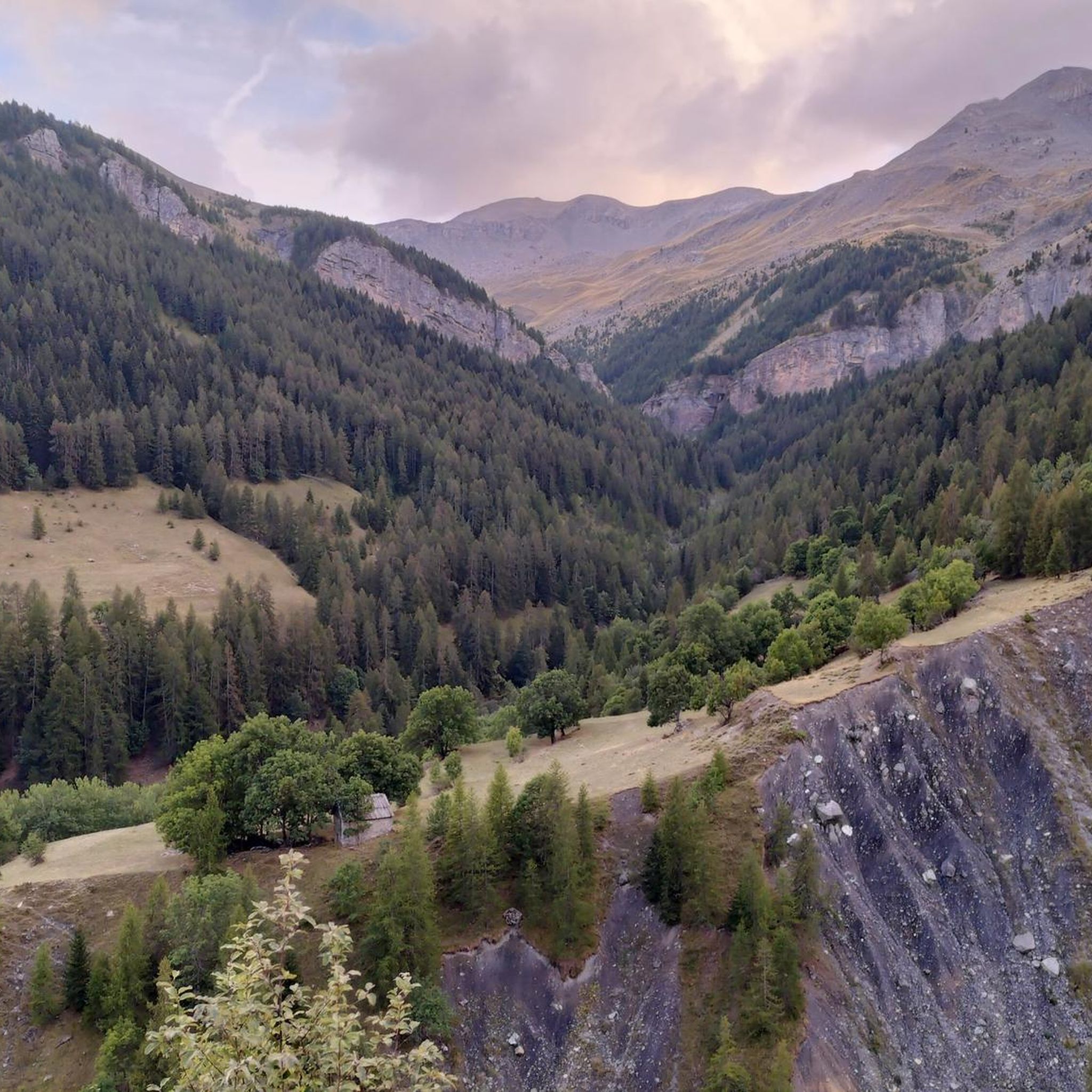
MTB Trails around Saint-Étienne-De-Tinée
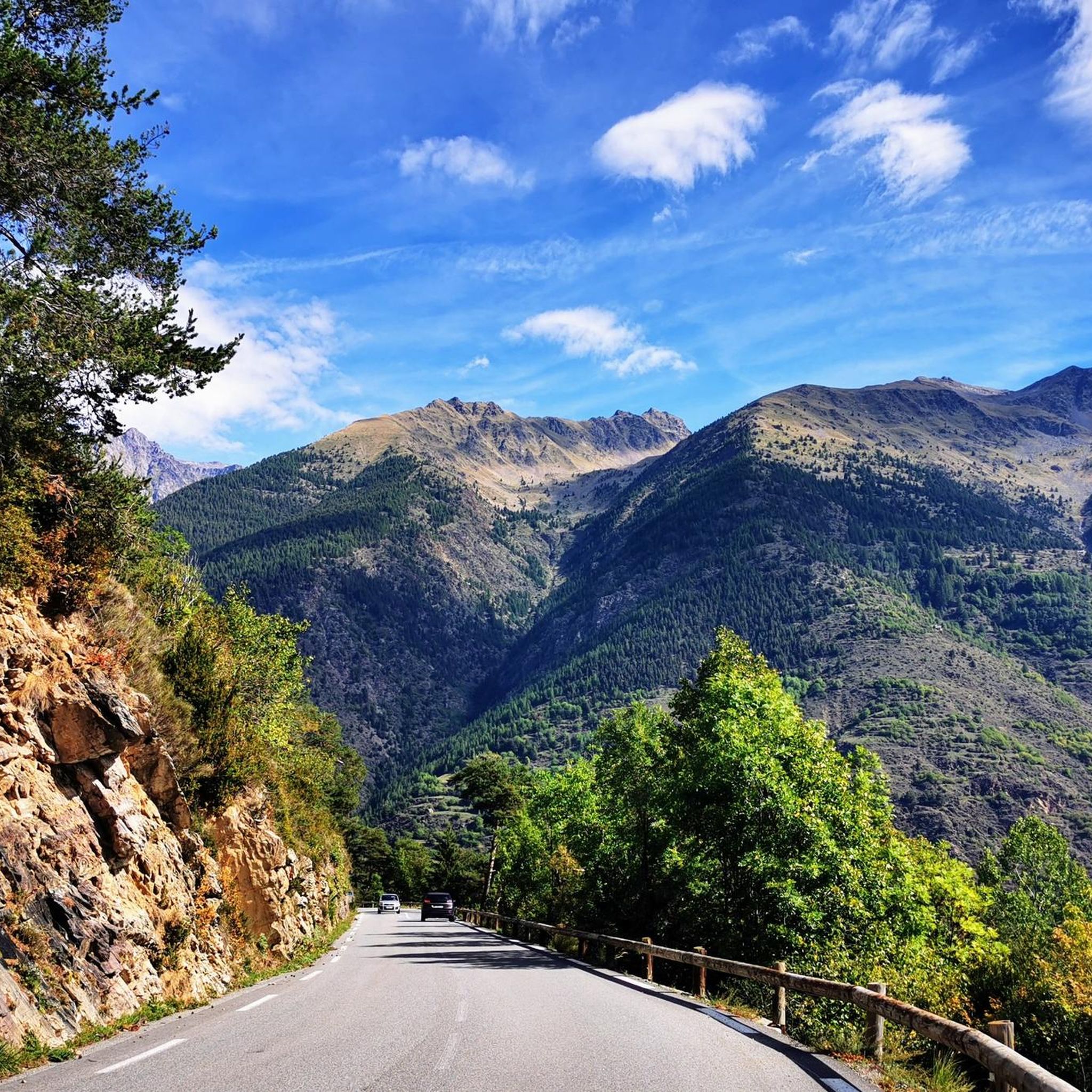
Cycling around Saint-Étienne-De-Tinée
Other adventures around Saint-Étienne-De-Tinée


Tips from the Community

Important pass between France and Italy, it is surrounded by a frame of wonderful mountains, which make you want to return to the valley. Several points of interest "anthropogenic" - including: French side, a contour line model of the area of the pass; Italian side, memorial monuments to Tazio Nuvolari and Fausto Coppi, protagonist on this pass of the legendary feat of the Cuneo-Pinerolo stage in 1949.
1
0
Important pass between France and Italy, it is surrounded by a frame of wonderful mountains, which make you want to return to the valley. Several points of interest "anthropogenic" - including: French side, a contour line model of the pass area; Italian side, memorial monuments to Tazio Nuvolari and Fausto Coppi, protagonist on this pass of the legendary feat of the Cuneo-Pinerolo stage in 1949.
0
0


Another beautiful lake in the series, definitely worth the climb.
0
0
Easy to reach, with only a few exposed sections equipped with chains. Beautiful 360-degree views.
0
0
Easy vertical passage between boulders with iron stirrups for climbing. A helmet and gloves are also useful for the subsequent sections equipped with chains.
1
0

Magnificent, not to be missed, the effort is worth it.
0
0
A first step before the magnificent Roburent lake 🇮🇹
0
0
Frequently Asked Questions
How many mountaineering routes are available around Saint-Étienne-De-Tinée?
There are 9 mountaineering routes in total around Saint-Étienne-De-Tinée. These include 3 moderate routes and 6 difficult routes, offering options for various skill levels.
Are there any family-friendly or beginner mountaineering routes in Saint-Étienne-De-Tinée?
The routes around Saint-Étienne-De-Tinée are primarily moderate to difficult, reflecting the high alpine terrain. While there are no routes specifically categorized as 'easy' in this selection, moderate options like the Vens Lakes loop from Santuario di Sant'Anna di Vinadio (6.2 miles, 3h 26m) could be considered for those with some mountaineering experience looking for a less strenuous option.
What are some of the more challenging mountaineering routes in the area?
For experienced mountaineers seeking a challenge, routes like the Lago Lausfer inferiore – Cima di Corborant / Corborant loop from Parcheggio San Bernolfo stand out. This difficult route covers 9.8 miles with significant elevation gain, typically taking over 7 hours to complete. Another demanding option is the Roburent Lakes – Upper Roburent Lake loop from Col de Larche / Colle della Maddalena, a 9.4-mile difficult path.
What is the typical distance and elevation gain for mountaineering routes here?
Mountaineering routes around Saint-Étienne-De-Tinée vary, but you can expect distances ranging from approximately 6 to 12 miles. Elevation gains are significant, often between 500 to over 1200 meters, reflecting the mountainous nature of the region. For example, the Lac de l'Orrenaye – Lake Oronaye loop from Col de Larche / Colle della Maddalena is 11.7 miles with about 950 meters of ascent.
Are there any circular mountaineering routes available?
Yes, many of the mountaineering routes around Saint-Étienne-De-Tinée are circular, allowing you to start and end at the same point. Examples include the Vens Lakes loop from Santuario di Sant'Anna di Vinadio and the Lac de l'Orrenaye – Lake Oronaye loop from Col de Larche / Colle della Maddalena.
What is the best season for mountaineering in Saint-Étienne-De-Tinée?
The best season for mountaineering in the Southern Alps, including Saint-Étienne-De-Tinée, is typically from late spring to early autumn (June to September). During this period, snow has usually melted from higher elevations, and weather conditions are generally more stable. Always check local weather forecasts and trail conditions before heading out.
Is winter mountaineering possible in Saint-Étienne-De-Tinée?
Winter mountaineering in Saint-Étienne-De-Tinée is possible but requires specialized equipment, experience, and careful planning due to snow, ice, and avalanche risks. Many routes become significantly more challenging or inaccessible. It is crucial to consult local guides, check avalanche forecasts, and be prepared for extreme conditions if considering winter ascents.
What kind of landscape can I expect on these mountaineering routes?
The mountaineering routes around Saint-Étienne-De-Tinée traverse a classic high alpine landscape. You can expect to encounter glacial lakes, rocky peaks, high mountain passes, and forested valleys. The region is part of the Southern Alps, offering remote mountain environments and expansive scenic viewpoints.
What do other mountaineers enjoy most about the routes in Saint-Étienne-De-Tinée?
The mountaineering routes in Saint-Étienne-De-Tinée are highly rated by the komoot community, with an average score of 4.8 stars from 5 reviews. Mountaineers often praise the stunning alpine vistas, the challenge of the high mountain passes, and the serene beauty of the glacial lakes encountered along the trails.
Are there any interesting landmarks or scenic viewpoints along the mountaineering routes?
Yes, the region offers numerous scenic points and natural landmarks. You might encounter beautiful alpine lakes such as Upper Roburent Lake, or traverse high mountain passes like Col Tesina. The area is also known for its dramatic peaks, including the Bonette Summit, offering panoramic views.
Is parking available at the trailheads for these routes?
Parking is generally available at common starting points for mountaineering routes in alpine regions. For routes originating from locations like Santuario di Sant'Anna di Vinadio, Col de Larche / Colle della Maddalena, or Parcheggio San Bernolfo, you can typically find designated parking areas. It's advisable to arrive early during peak season to secure a spot.
Can I access these mountaineering routes using public transport?
Access to remote alpine trailheads by public transport can be limited. While some larger towns in the region may have bus services, direct public transport to specific starting points like Col de Larche or Santuario di Sant'Anna di Vinadio might be infrequent or seasonal. It's recommended to check local bus schedules or consider carpooling for better access to many of these routes.
Most popular routes around Saint-Étienne-De-Tinée
Most popular attractions around Saint-Étienne-De-Tinée

Get inspired with the komoot mobile app


Explore more
Browse the best Mountain Hikes & Routes in other regions.
