The best road cycling routes around Saint-André-De-La-Roche
4.5
(536)
29,490
riders
123
rides
Road cycling around Saint-André-De-La-Roche is characterized by its diverse landscapes within the Alpes-Maritimes hinterland, bordering Nice. The area features challenging, undulating roads that connect ancient perched villages and offer panoramic views of the mountains and the Mediterranean Sea. Cyclists encounter a preserved natural setting with varied terrain, from coastal glimpses to significant inland climbs.
Best road cycling routes around Saint-André-De-La-Roche
- The most popular road cycling route is Col d'Eze - Parc de la Grande Corniche loop, a 18.1 miles…
Last updated: July 10, 2026
4.6
(17)
380
riders
29.1km
01:33
590m
600m
The Col d'Eze - Parc de la Grande Corniche loop immerses you in a dreamlike coastal landscape, offering uninterrupted views of the Mediterranean, including the bays of Villefranche and Cap…
4.8
(35)
1,023
riders
61.9km
03:25
1,310m
1,310m
Hard road ride. Very good fitness required. Mostly well-paved surfaces and easy to ride.

Sign up for free
4.7
(21)
1,713
riders
106km
06:25
2,860m
2,860m
Hard road ride. Very good fitness required. Mostly well-paved surfaces and easy to ride.
4.4
(5)
441
riders
78.2km
04:47
1,850m
1,850m
Hard road ride. Very good fitness required. Mostly well-paved surfaces and easy to ride.
5.0
(6)
305
riders
95.7km
05:35
2,300m
2,300m
Hard road ride. Very good fitness required. Mostly well-paved surfaces and easy to ride.
Get access to more routes and recommendations from other explorers.
Sign up for free
Already have an account?
Our route recommendations are based on thousands of hikes, rides, and runs completed by other people on komoot.
Start today with a free account
Your next adventure awaits.
Login or Signup
Tips from the Community

Because it is located at an altitude of 630 metres, equidistant from Nice and Monaco, Peille can be seen from the summit of La Madone. Its chapels, converted into a town hall or a bakery, set the tone: the medieval heritage is still inhabited. Léo Ferré liked to stay there and dedicated a song to it.
0
0

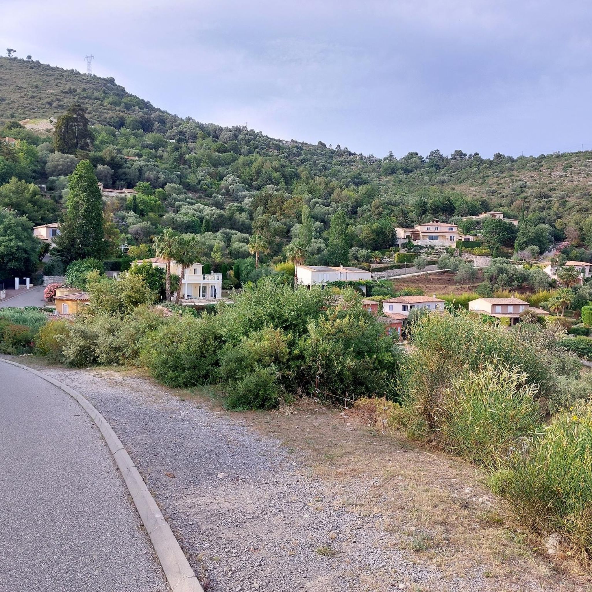
Corniche road. Magnificent views of the Mediterranean, Nice... At the Col du Farguet, views of the Mercantour. To reach the Col de Braus, gravel road accessible to classic electric bikes (not mountain bikes)
0
0

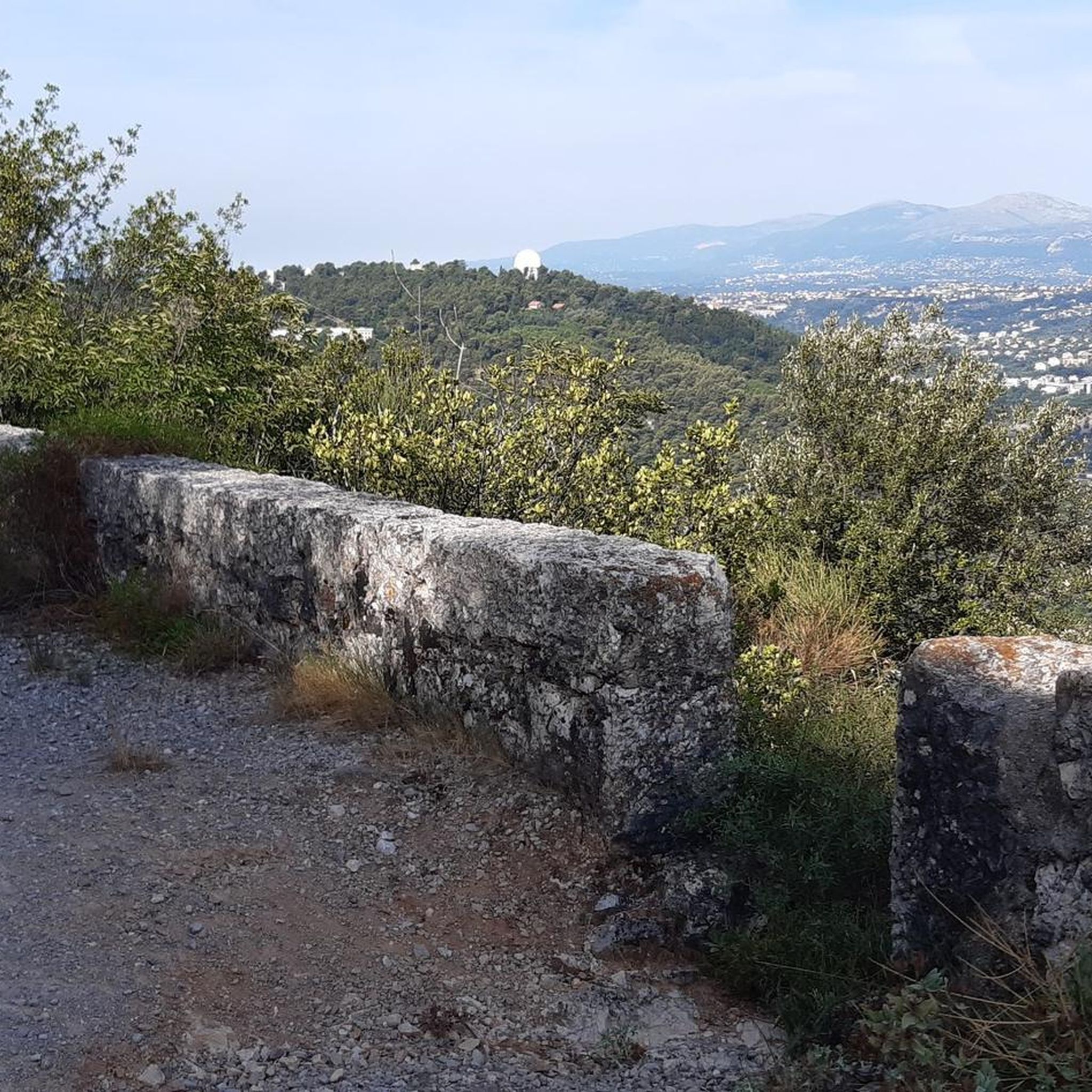
The Col d'Èze, located between Nice and Monaco, near La Turbie in the Alpes-Maritimes department, peaks at 507 m. Located less than 5 km from the coast, it offers a remarkable panorama of the Côte d'Azur: Cap Ferrat to the west, and Italy to the east. It is part of the Route des Grandes Alpes route. Despite its modest altitude, it is important to remember that the climbs all start at sea level and that the elevation gain is therefore quite significant at nearly 500 m. There are many options for accessing the Col d'Èze...
1
0
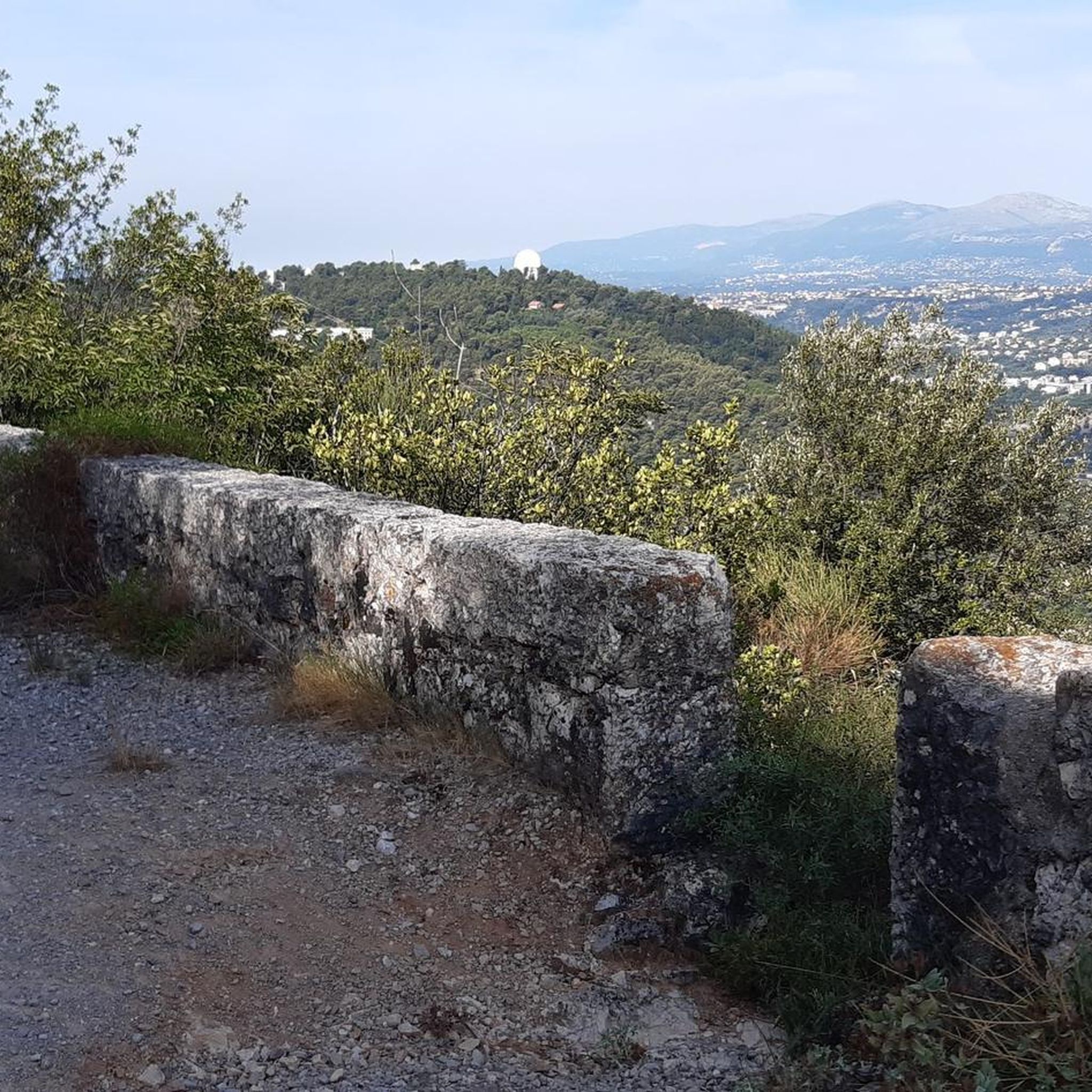
The Col d'Èze, located between Nice and Monaco, near La Turbie in the Alpes-Maritimes department, peaks at 507 m. Located less than 5 km from the coast, it offers a remarkable panorama of the Côte d'Azur: Cap Ferrat to the west, and Italy to the east. It is part of the Route des Grandes Alpes route. Despite its modest altitude, it is important to remember that the climbs all start at sea level and that the elevation gain is therefore quite significant at nearly 500 m. There are many options for accessing the Col d'Èze...
1
0
An exceptional site, located between Sospel and Moulinet, on the Route des Grands Alpes. This sanctuary with its vertiginous staircase (listed as a Historic Monument in 1937) overlooks the Piaon Gorges in the Bévéra Valley.
0
0

Depending on your route: I crossed the pass on the way back from the Col de Turini via Paira Cava and Col de d'L'Orme. You reach the top of the pass well rested and can enjoy the wonderful descent to Sospel.
0
0

You'll pass this place on the way down from Turini. What a view 🤩
0
0
Frequently Asked Questions
How many road cycling routes are available around Saint-André-De-La-Roche?
There are over 130 road cycling routes available around Saint-André-De-La-Roche, catering to various skill levels. This includes 12 easy routes, 65 moderate routes, and 57 difficult routes, ensuring options for every cyclist.
What kind of terrain can I expect on road cycling routes near Saint-André-De-La-Roche?
The region offers diverse terrain, from challenging, undulating roads that weave through ancient perched villages to significant inland climbs. You'll encounter a preserved natural setting with mountain panoramas and glimpses of the Mediterranean Sea. While coastal paths offer flatter rides, venturing inland quickly leads to more demanding ascents.
Are there any particularly challenging climbs for experienced road cyclists?
Yes, the area is renowned for its challenging climbs, many of which have featured in prestigious races. Notable ascents include the Col d'Èze, a favorite among professionals, and the intense Braus Pass – Col de Turini loop, which involves significant elevation gain. Other challenging passes like Col de Vence and Col de la Madone are also within reach.
What scenic viewpoints or landmarks can I see along the road cycling routes?
Many routes offer breathtaking views of the mountains and the Mediterranean coast. You can pass through picturesque medieval villages like Èze, or encounter historic sites such as the Château de Saint-André. The Castle Hill in Nice also provides panoramic vistas.
Are there road cycling routes suitable for families or beginners?
While many routes in the region are challenging, there are 12 easy road cycling routes available around Saint-André-De-La-Roche. These routes offer a gentler introduction to the area's beauty, though specific family-friendly routes designed for very young children on bikes might be limited due to the generally undulating terrain.
What is the best time of year for road cycling in Saint-André-De-La-Roche?
The region is generally favorable for cycling for much of the year. Spring and autumn offer pleasant temperatures and vibrant landscapes, ideal for tackling the climbs. Summer can be warm, especially in the valleys, but higher elevations provide cooler air. Winter cycling is possible, particularly on coastal routes, though mountain passes may be affected by snow.
Is parking available for cyclists in Saint-André-De-La-Roche?
Yes, Saint-André-De-La-Roche is a village situated on the heights of Nice, and many routes are accessible directly from or very close to the village. Parking is generally available within the village or at designated starting points for routes, allowing cyclists to begin their adventure without needing to transport bikes far.
Can I reach road cycling routes in Saint-André-De-La-Roche using public transport?
Saint-André-De-La-Roche is located close to Nice, which is well-served by public transport. While direct public transport options to specific trailheads might vary, you can often reach the general area by bus from Nice, and then cycle to your desired starting point. The proximity to Nice means cyclists don't necessarily need a car to start their ride.
What is the quality of the road surface like for cycling in the Saint-André-De-La-Roche area?
The road surface quality in the Alpes-Maritimes hinterland is generally good, with well-maintained roads connecting the villages and mountain passes. However, as with any mountainous region, some smaller, less-traveled roads might have varying conditions. It's always advisable to check recent route reviews for specific conditions.
Are there places to stop for refreshments or food along the routes?
Yes, many road cycling routes pass through or near charming perched villages and towns in the Alpes-Maritimes hinterland. These villages often have local cafes, bakeries, and restaurants where you can stop for refreshments, refuel, and experience local culture. Nice itself, being easily accessible, offers a wide array of dining options.
Are there circular road cycling routes available?
Yes, many of the road cycling routes around Saint-André-De-La-Roche are designed as loops, allowing you to start and finish in the same location. Examples include the Col d'Eze - Parc de la Grande Corniche loop and the St. Blaise - Levens – Tourrette-Levens Village loop, providing convenient options for exploration.
What do other road cyclists enjoy most about the routes in Saint-André-De-La-Roche?
The routes in Saint-André-De-La-Roche are highly rated by the komoot community, with an average score of 4.4 stars from over 550 reviews. Cyclists frequently praise the challenging climbs, the stunning panoramic views of both mountains and the sea, and the charm of the historic perched villages encountered along the way.
Most popular routes around Saint-André-De-La-Roche
Most popular attractions around Saint-André-De-La-Roche

Get inspired with the komoot mobile app


Explore more
Browse the best Road cycling routes in other regions.
