The best running trails around Chasse-Sur-Rhône
4.4
(145)
4,012
runners
14
runs
Jogging around Chasse-sur-Rhône offers diverse landscapes, with routes often following the Rhône riverbanks or traversing wooded areas and valleys. Elevated sections provide panoramic views of the Rhône Valley, the Alps, and surrounding massifs. The terrain varies from flat riverside paths to more challenging routes with significant elevation changes, catering to different fitness levels.
Best jogging routes around Chasse-Sur-Rhône
- The most popular jogging route is Château de Seyssuel loop from Chasse-sur-Rhône, a 13.3 miles (21.5 km) trail that takes 2 hours 31 minutes to complete. This difficult route offers panoramic views of the Rhône Valley and terraced vineyards.
- Another top favourite among local runners is Running loop from Chasse-sur-Rhône, a moderate 7.7 miles (12.4 km) path. This route leads through varied terrain, including wooded sections and open areas.
- Local runners also love the Grand Tour of Seyssuel and Beyond loop from Chasse-sur-Rhône, a 7.8 miles (12.6 km) trail leading through a mix of natural and semi-urban landscapes, often completed in about 1 hour 19 minutes.
- Jogging around Chasse-sur-Rhône is defined by Rhône River paths, wooded areas, and elevated viewpoints, with options for easy, moderate, and difficult ability levels.
- The routes in Chasse-sur-Rhône are highly rated by the komoot community with an average score of 4.5 stars from over 100 reviews. More than 3,900 runners have used komoot to explore Chasse-sur-Rhône's varied terrain.
Last updated: July 1, 2026
15
runners
12.4km
01:22
160m
160m
Moderate run. Good fitness required. Mostly paved surfaces. Suitable for all skill levels.
19
runners
12.7km
01:21
160m
160m
Moderate run. Good fitness required. Mostly paved surfaces. Suitable for all skill levels.

Sign up for free
6
runners
10.9km
01:13
220m
220m
Moderate run. Good fitness required. Mostly paved surfaces. Suitable for all skill levels.
6
runners
7.25km
00:52
150m
150m
Moderate run. Good fitness required. Mostly paved surfaces. Suitable for all skill levels.
6
runners
8.79km
00:56
40m
40m
Moderate run. Good fitness required. Mostly paved surfaces. Suitable for all skill levels.
Get access to more routes and recommendations from other explorers.
Sign up for free
Already have an account?
Our route recommendations are based on thousands of hikes, rides, and runs completed by other people on komoot.
Start today with a free account
Your next adventure awaits.
Login or Signup

Tips from the Community

A wonderful stretch of route! The stunning scenery and excellent cycle paths make the Via Rhôna cycle tour a truly memorable experience!
0
0

A funny single trail, a bad joke for the Via Rhona
0
0

Coming from Lyon, from the Givor bridge onwards, this section is a very bumpy and unpleasant route to drive on, and there are no more signs for the Via Rhona. It would be easier to drive to/or to the bridge on the road.
0
0

I would now say that it is better to switch to the train between Givors Ville and Lyon. The path is only temporarily laid down on beaten paths. First it goes from the bridge on a trail next to the works road (use is actually absolutely forbidden) along the Rhone. Compared to what is to come, however, it is only the beginning. After the steep ascent to Ternay, first go on a narrow path, you can only dodge it into the high grass, and at the end the trail is so washed out that it was too dangerous for me to drive down there.
0
0

Sometimes quite technical portions between wetlands and holes/roots.
0
0

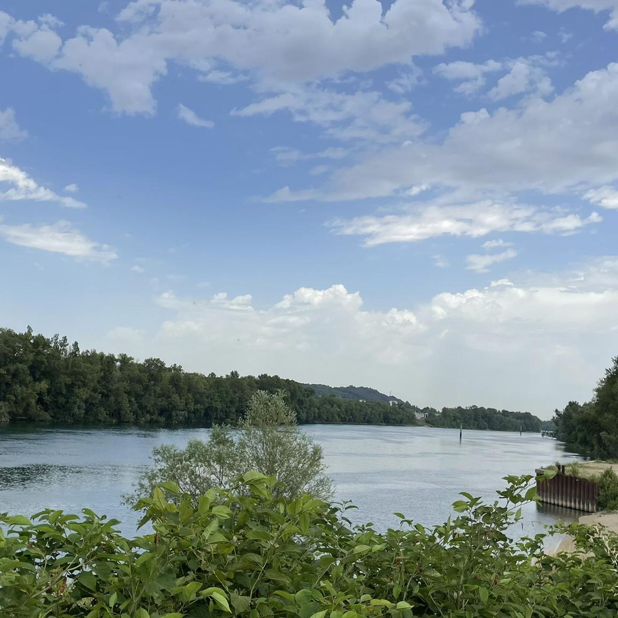
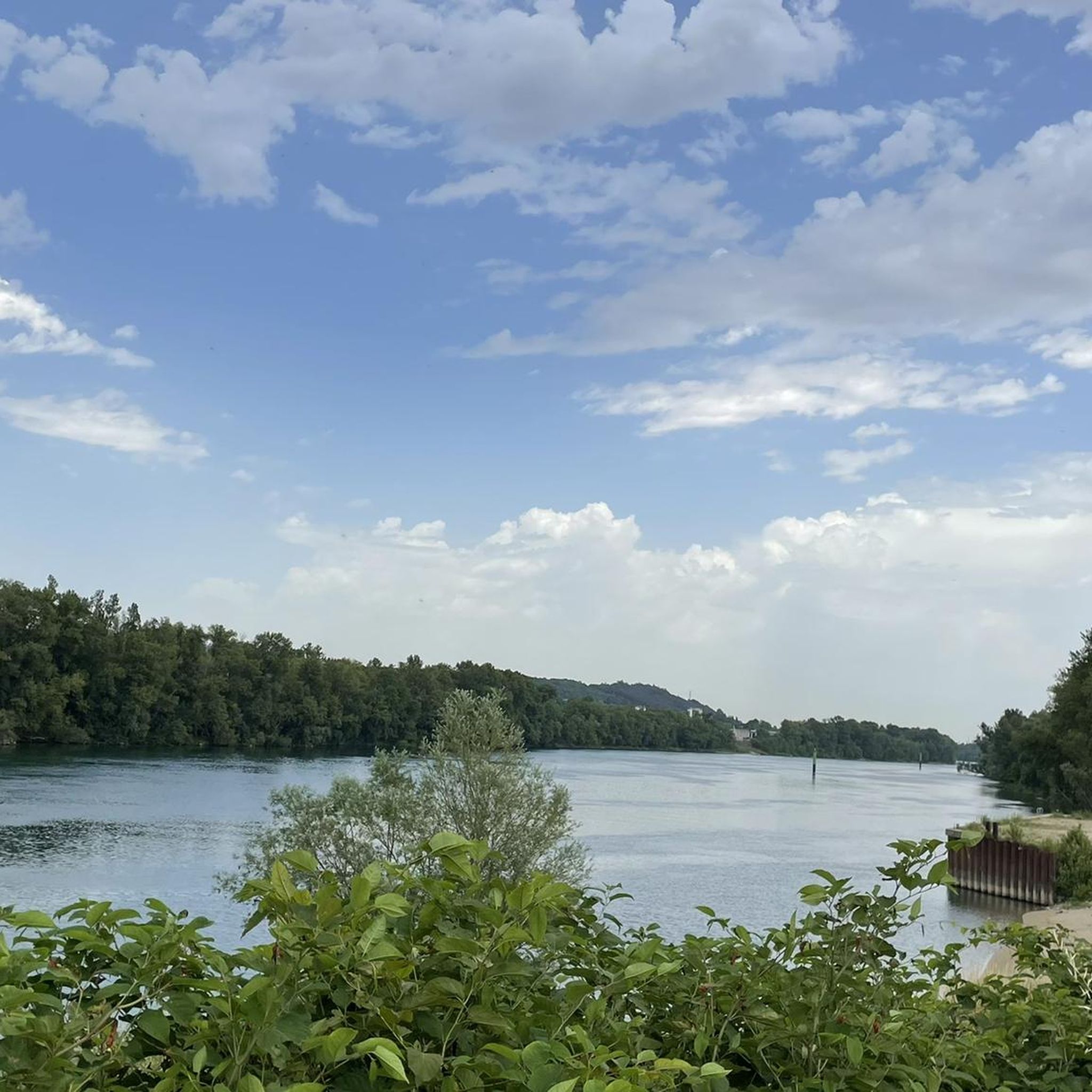
Nice stretch along the Rhone.
2
0

Taking you from the shores of Lake Geneva to the beaches of the Mediterranean by bike, following the Rhône river, this is the ambition of ViaRhôna. This 815 km cycle route takes you from alpine panoramas to the Camargue beaches, crossing the emblematic landscapes of the Côtes du Rhône vineyards and those of southern Provence: hilltop villages, lavender or olive groves, gastronomic discoveries. ViaRhôna, a true path of civilizations, thus spans over 2000 years of history and heritage, alternating secure greenways and shared routes.
1
0

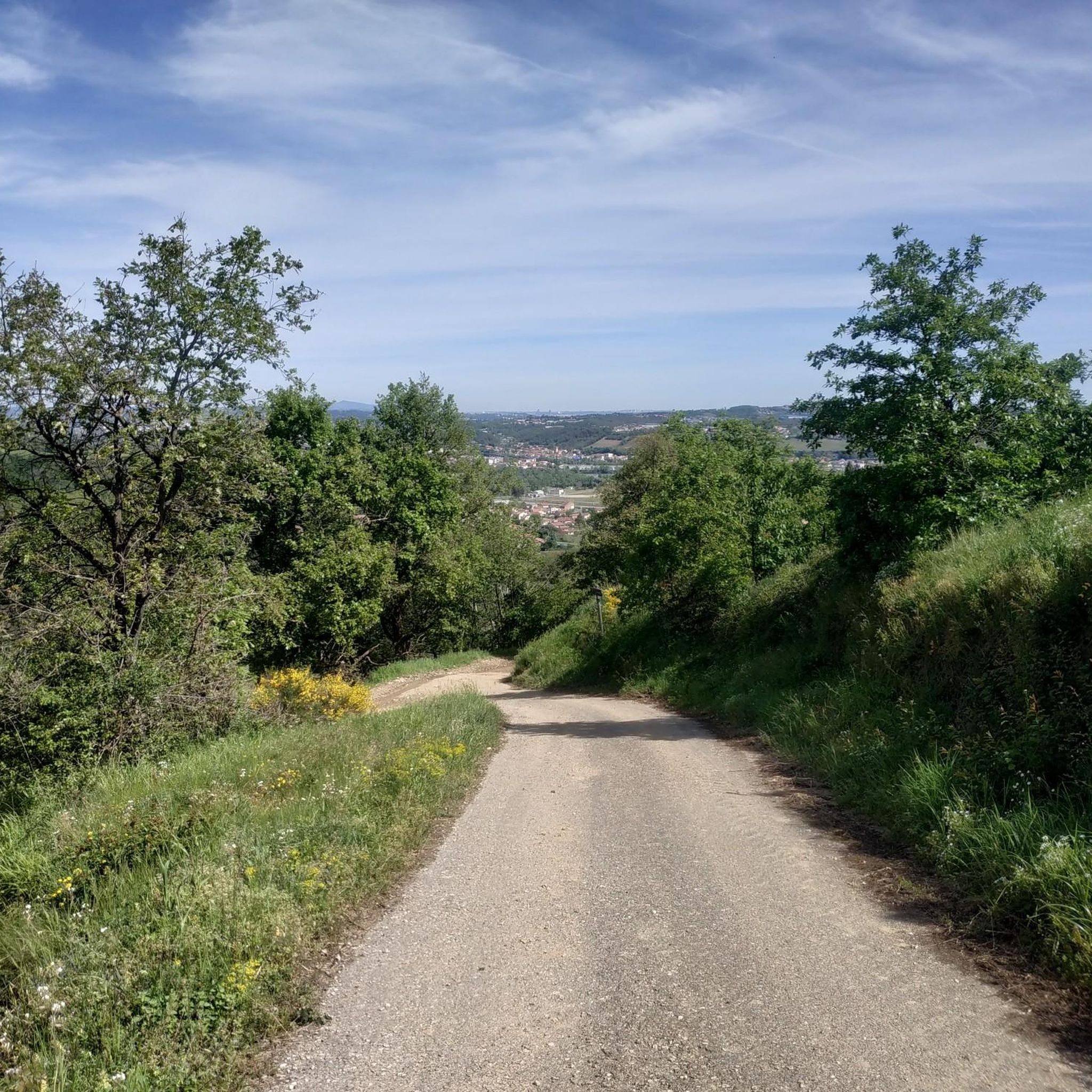
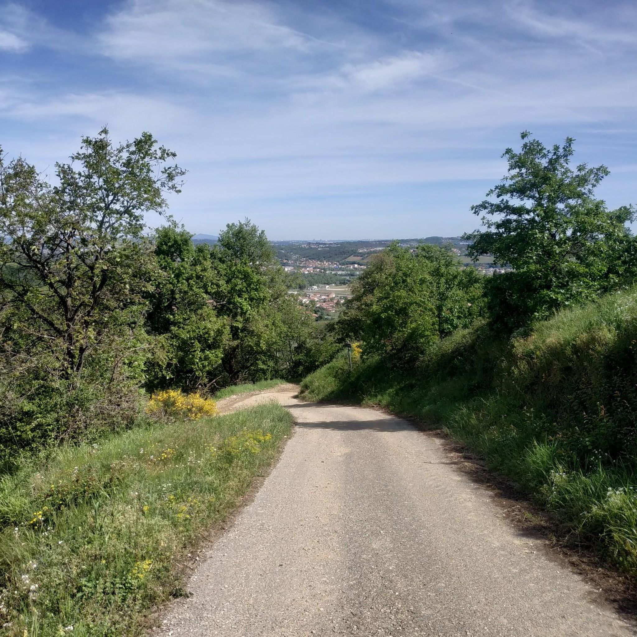
Very nice portion of the Via Rhôna. On the other hand, dirt road with gravel and stones. Gravel, mountain bike or mountain bike imperative.
0
0
Frequently Asked Questions
How many running routes are available in Chasse-sur-Rhône?
Chasse-sur-Rhône offers a good selection of running trails, with over 15 routes available for various fitness levels. These include options ranging from easy riverside paths to more challenging routes with significant elevation changes.
Are there any easy jogging routes suitable for beginners in Chasse-sur-Rhône?
Yes, there are routes suitable for beginners. For a relatively flat and accessible option, consider the Chemin de la Digue (ViaRhôna) loop from Chasse-sur-Rhône. This route follows the Rhône riverbanks, offering a gentle experience. Overall, the region features 1 easy route and 12 moderate routes that can be enjoyed by those new to running.
Where can I find running routes with scenic views in Chasse-sur-Rhône?
Many routes in the area offer magnificent panoramic views. The Château de Seyssuel loop from Chasse-sur-Rhône is known for its vistas of the Rhône Valley and terraced vineyards. Elevated areas around Chasse-sur-Rhône, such as the Crêt de la Magdeleine or Mont Pipet, also provide stunning views of the Alps and Pilat massif.
Are there any circular running routes in Chasse-sur-Rhône?
Yes, most of the popular running routes in Chasse-sur-Rhône are circular, allowing you to start and finish at the same point. Examples include the Running loop from Chasse-sur-Rhône and the Grand Tour of Seyssuel and Beyond loop from Chasse-sur-Rhône, both offering varied terrain.
What kind of terrain can I expect on the jogging trails around Chasse-sur-Rhône?
The terrain is quite diverse, ranging from flat paths along the Rhône riverbanks, like sections of the ViaRhôna, to wooded areas and 'combes' (valleys). You'll also find routes with significant elevation changes, particularly in the elevated sections that offer panoramic views. Some trails combine natural and semi-urban landscapes.
Are there any family-friendly jogging options in the area?
For families, routes along the Rhône river, such as the Chemin de la Digue (ViaRhôna) loop, are generally flatter and more accessible. The wooded Barlet Island also offers a green space with a fitness trail, which can be a pleasant option for a varied jogging experience or a leisurely walk with children.
Are the running routes in Chasse-sur-Rhône dog-friendly?
Many natural trails and paths in the Chasse-sur-Rhône area are suitable for running with dogs, provided they are kept under control, especially in wooded areas or near wildlife. It's always advisable to check local regulations for specific trails regarding dogs, particularly in protected natural spaces.
What are some interesting landmarks or attractions I might see while running?
While running, you might encounter natural features like the Rhône River and wooded 'combes'. The Barlet Island on the Rhône is a notable green space. For historical sights, the nearby city of Vienne offers attractions like the Temple of Augustus and Livia and the Ancient theatre, which are great for exploring before or after your run.
Is there parking available near the jogging trailheads?
While specific parking details vary by trailhead, Chasse-sur-Rhône generally offers public parking options within the town and at common starting points for outdoor activities. Many routes, especially those starting directly from the town, are easily accessible by car with nearby parking.
What do other runners enjoy most about jogging in Chasse-sur-Rhône?
The running routes in Chasse-sur-Rhône are highly rated by the komoot community, with an average score of 4.5 stars from over 100 reviews. Runners often praise the diverse landscapes, which include scenic river paths, tranquil wooded sections, and challenging elevated viewpoints offering stunning panoramas. The variety of routes caters to different fitness levels, making it enjoyable for many.
Are there any longer running trails for advanced runners?
Yes, for advanced runners seeking a longer challenge, the Château de Seyssuel loop from Chasse-sur-Rhône is a difficult 13.3-mile (21.5 km) trail with over 400 meters of elevation gain, offering a substantial workout and rewarding views.
Can I access the jogging routes using public transport?
Chasse-sur-Rhône is connected by public transport, and many routes start directly from the town center, making them accessible. For routes further afield, local bus services might provide access to starting points, though checking specific schedules and stops in advance is recommended.
Most popular routes around Chasse-Sur-Rhône
Most popular attractions around Chasse-Sur-Rhône

Get inspired with the komoot mobile app


Explore more
Browse the best Running Trails & Routes in other regions.
