The best walks and hikes around La Meilleraye-De-Bretagne
4.5
(143)
939
hikers
42
hikes
Hiking around La Meilleraye-De-Bretagne offers diverse outdoor experiences in the Loire-Atlantique department of western France. The region is characterized by its network of lakes and ponds, including Lac de Vioreau and Étang de la Provostière, alongside the Erdre River and its valleys. Trails often traverse woodlands and agricultural paths, with minimal elevation changes, making the area accessible for various hiking abilities.
Best hiking trails around La Meilleraye-De-Bretagne
- The most popular hiking route is Lac de Vioreau — loop from Vioreau…
Last updated: July 4, 2026
4.8
(28)
161
hikers
10.6km
02:41
30m
30m
Hike the 6.6-mile Lake Vioreau Loop, a moderate trail around the largest reservoir in Loire-Atlantique, offering diverse scenery and lake vi
5.0
(3)
55
hikers
Moderate hike. Good fitness required. Easily-accessible paths. Suitable for all skill levels.

Sign up for free
5.0
(1)
11
hikers
7.23km
01:52
40m
40m
Easy hike. Great for any fitness level. Easily-accessible paths. Suitable for all skill levels.
5.0
(1)
8
hikers
Moderate hike. Good fitness required. Easily-accessible paths. Suitable for all skill levels.
3.0
(1)
11
hikers
Easy hike. Great for any fitness level. Easily-accessible paths. Suitable for all skill levels.
Get access to more routes and recommendations from other explorers.
Sign up for free
Already have an account?
Our route recommendations are based on thousands of hikes, rides, and runs completed by other people on komoot.
Start today with a free account
Your next adventure awaits.
Login or Signup

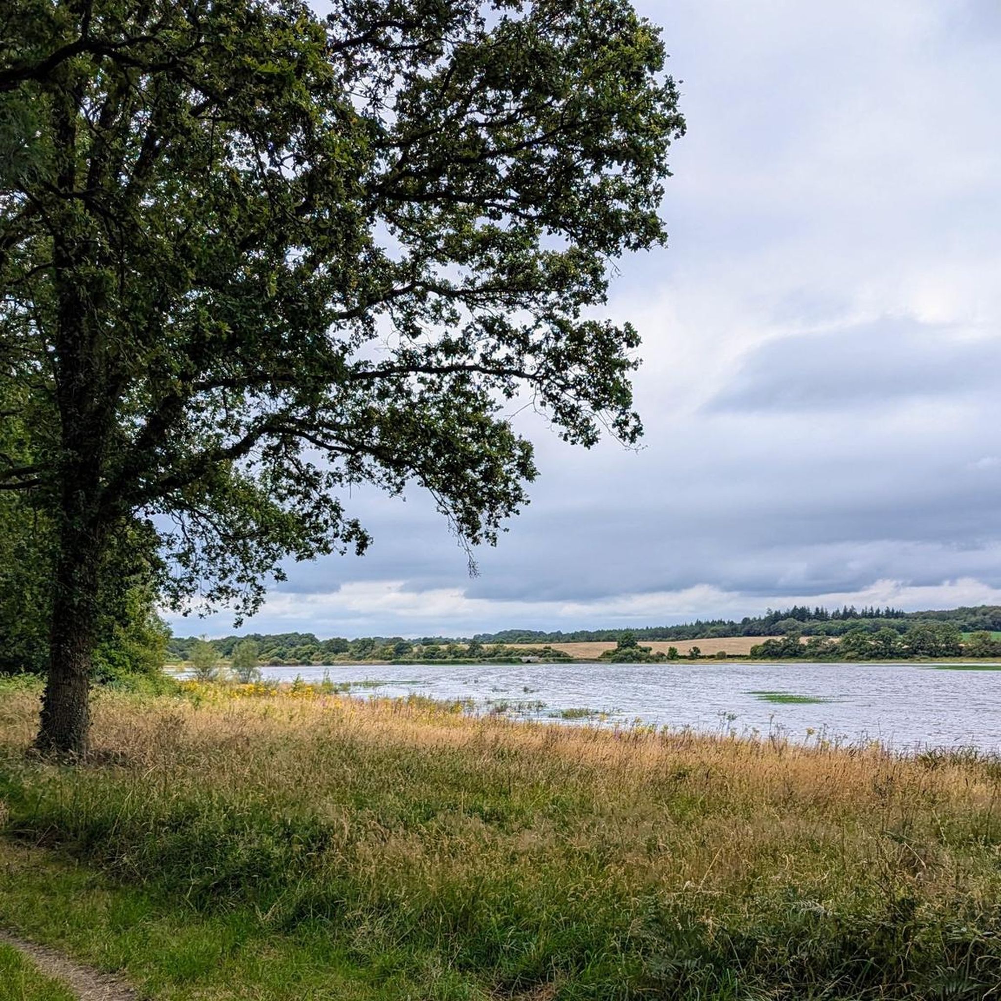

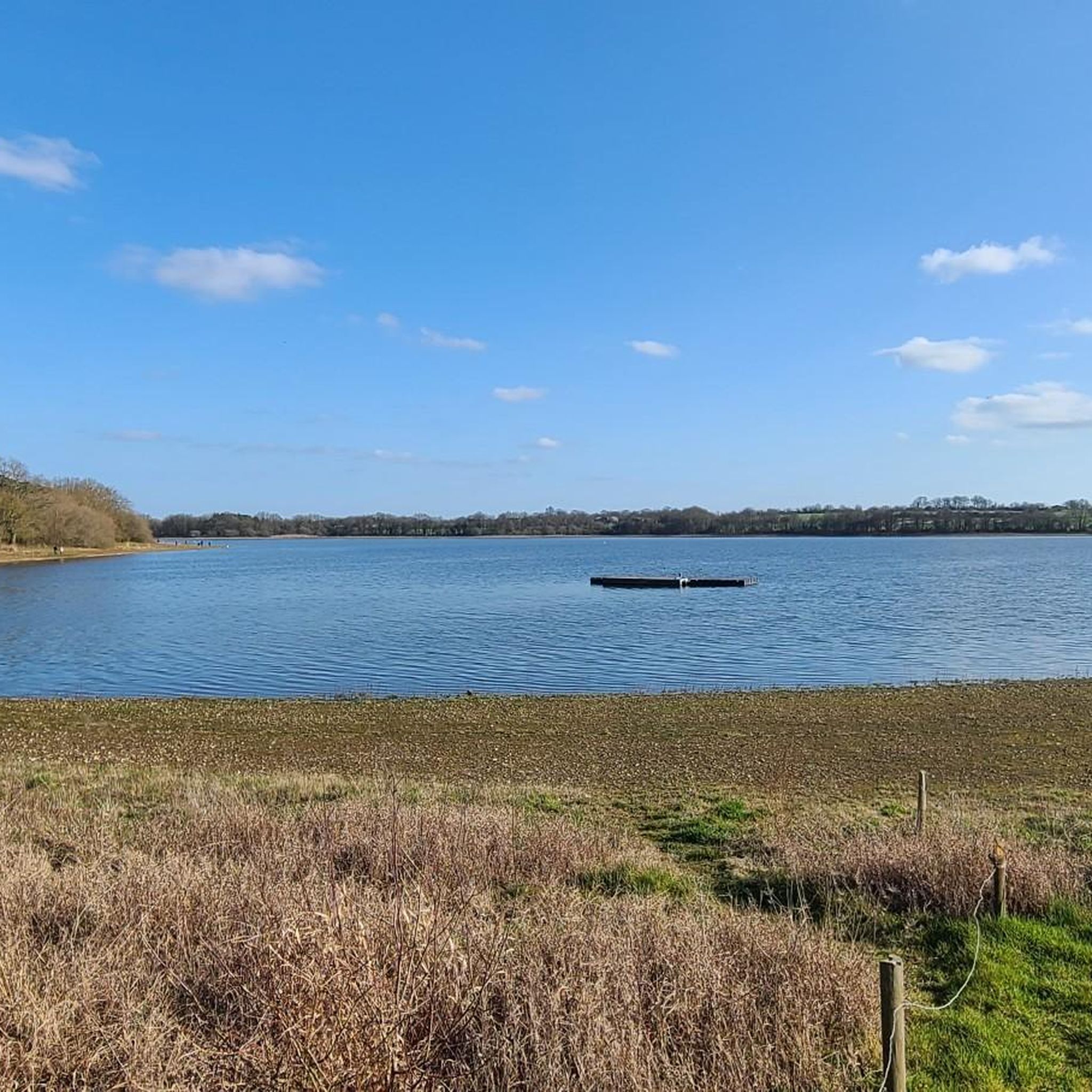
Tips from the Community

A vast industrial forge site dating back to the 17th century. The natural setting is also remarkable, with the dam on the Don River creating a splendid reservoir that supplied the forges. A favorite is Rue des Rochers Bleus and its hanging pine tree.
1
0

The Ajaux channel connects the Riaillé lakes (La Provostière and La Poitevinière) to the large Vioreau Reservoir. The water thus transported supplies the Nantes-Brest canal.
0
0
The Provostière pond, with a surface area of 73 ha, is connected to the Vioreau lake by the Rigole des Ajaux. This complex is part of the supply system of the Nantes-Brest canal. Its hydraulic management is ensured by the Loire-Atlantique Department, which has owned it since 2008. A 5.5 km path on which a bird observatory is located allows you to go around the pond in about 1h30.
0
0
François Bureau, known as "Franchik", was born on April 23, 1921. He regularly stayed in the family fiefdom at the Château de la Meilleraie, in Riaillé. After studying in Nantes, he was admitted to the Saint-Cyr officers' school in 1943. During this period, he was, like so many other men, affected by the STO (Compulsory Work Service), but he decided to leave the country rather than work in Germany, in order to join "the fighting France". Handed over to the Germans with comrades by the smuggler, he was arrested on July 18, 1943, in Perpignan. Then began the transfers from camp to concentration camp: Büchenwald, Laura, Ellrich, Nordhausen. He was part of a medical convoy of more than 1,600 patients. Many died during and after the transfer. He was one of the few survivors. It is at Nordhausen, his last camp, that we can follow his trail. The camp was liberated on April 12, 1945 by the Americans. Death papers mention his death on April 21, 1945, before his repatriation, nine days after the liberation of the camp. François Bureau was therefore free on the day of his death, after more than eighteen months of deportation in Germany. https://www.ouest-france.fr/pays-de-la-loire/ancenis-saint-gereon-44150/francois-bureau-etait-un-homme-de-conviction-4390446
0
0
July 25, 1944, shortly after 3 p.m., a Mosquito type plane, a light and fast twin-engine, appeared in the sky of Riaillé, followed a few seconds later by two German fighter planes. Arriving above the hamlet of l'Enclose, one of the fighters gained altitude and dove on the Canadian plane, riddling it with bullets. After starting a curve, the burning Mosquito crashed very close to the Provostière pond. The debris littered the ground for about fifty meters, the fire and the explosion of the ammunition made it impossible to approach. When the fire died down, the inhabitants rushed to the scene and found the charred bodies of the pilot and the navigator. They were identified as Lieutenants Burgess and McPherson. The Germans, who came to the scene, told the mayor that he could bury the bodies but without an official ceremony. However, the occupier's orders were not respected. The bodies were wrapped in sheets and transported to a nearby farm, the village carpentry made the coffins. The next day, a religious ceremony was held in the parish church in the presence of many Riaillé residents and wreaths of flowers covered the coffins. The procession then headed to the cemetery under the supervision of German soldiers who did not intervene. For 80 years, these two Canadian officers have been resting in the Riaillé cemetery. Their tomb is regularly maintained and decorated with flowers by the UNC-Riaillé Mémoire association but also by anonymous people who thus perpetuate the memory of their sacrifice. https://www.echoancenis.fr/actualite-4422-riaille-le-25-juillet-1944-deux-aviateurs-canadiens-etaient-abattus-dans-le-ciel-de-riaille
0
0
The Ajeaux channel connects the Riaillé bodies of water (La Provostière and Poitevinière) to the large Vioreau Reservoir. The water thus transported allows the supply of the canal from Nantes to Brest.
0
0
The Vioreau forest, located between the municipalities of Joué-sur-Erdre and Meilleraye-de-Bretagne, extends over 750 ha, 70 of which belong to the Department of Loire-Atlantique and are classified Sensitive Natural Areas (ENS). It adjoins to the north the large Vioreau reservoir, also departmental property, which is part of the Nantes-Brest canal supply system.
0
0
Former site of industrial forges in the 17th century, you will discover a landscape bathed in greenery, the pond and the ancestral buildings carved out of the beautiful blue stone. Starting point for hiking trails. Another essential element of the forges site, the large coal storage hall of yesterday transformed today into a museum (free entry). The Forge Neuve museum explains in a clear and fun way the mining past and work in the forges from the 17th to the 19th century. https://fr.wikipedia.org/wiki/Forges_de_Moisdon-la-Rivi%C3%A8re
0
0
Frequently Asked Questions
How many hiking trails are available in La Meilleraye-De-Bretagne?
There are over 40 hiking routes in La Meilleraye-De-Bretagne, offering diverse experiences for various skill levels. These trails are highly rated by the komoot community, with an average score of 4.5 stars.
Are there easy hiking trails suitable for beginners or families?
Yes, La Meilleraye-De-Bretagne offers 19 easy hiking trails, perfect for beginners or families. These routes typically feature minimal elevation changes and pleasant scenery. An example is the Forges of Moisdon-la-Rivière loop from Grand-Auverné, which is 4.8 km long.
What kind of terrain can I expect on the hiking trails in this region?
The hiking trails in La Meilleraye-De-Bretagne primarily feature varied terrain including shaded woodlands, agricultural paths, and picturesque routes alongside lakes and rivers. You can expect relatively flat paths with minimal elevation changes, making for generally accessible walks.
What natural features can I explore while hiking in La Meilleraye-De-Bretagne?
The region is rich in natural beauty, centered around its hydrological network. You can explore prominent water bodies like the Lac de Vioreau and the Étang de la Provostière, as well as the scenic Erdre River valley. Trails often follow channels like the Rigole des Ajeaux, offering unique perspectives on the local landscape.
Are there any historical sites or landmarks to see on the trails?
Yes, several trails pass by interesting historical sites. The Vioreau Reservoir Dam and the Arcades of the Gué de la Roche are notable features along the Rigole d'alimentation. The 'Sentier de l'Abbaye' trail, starting from La Meilleraye-De-Bretagne, also allows you to explore the ancient Melleray Abbey. The Forges of Moisdon-la-Rivière area also offers historical context.
Can I find trails that go around lakes or ponds?
Absolutely. The region is known for its beautiful lakes and ponds. The Lac de Vioreau — loop from Vioreau is a popular moderate route that circles the prominent Lac de Vioreau. Another option is the Provostière Pond – Stele of the Aviators loop from La Provostière, which explores the Étang de la Provostière.
Are there circular walking routes available in the area?
Many of the trails in La Meilleraye-De-Bretagne are circular, allowing you to start and end at the same point. Examples include the Lac de Vioreau loop, the Forges of Moisdon-la-Rivière – La Forge Neuve loop, and the Rigole des Ajeaux loop.
What do other hikers enjoy most about hiking in La Meilleraye-De-Bretagne?
The area is highly rated by the komoot community, with an average score of 4.5 stars from over 130 reviews. Reviewers often praise the peaceful atmosphere, the diverse scenery of lakes and woodlands, and the well-maintained paths that make for enjoyable walks.
Is it possible to hike with dogs on the trails?
While specific regulations for each trail may vary, many natural areas in France are generally dog-friendly, especially if dogs are kept on a leash. It's always recommended to check local signage or specific route details for any restrictions before heading out with your pet.
Are there any longer or more challenging routes for experienced hikers?
While the region is known for its generally easy to moderate trails, there are routes like the Lac de Vioreau loop and the Forges of Moisdon-la-Rivière – La Forge Neuve loop that offer moderate challenges with distances around 10 km. These provide a good workout without significant elevation gains.
Where can I find parking for the hiking trails?
Many popular trailheads, especially around major attractions like Lac de Vioreau and the Forges of Moisdon-la-Rivière, typically offer designated parking areas. For specific routes, it's advisable to check the komoot tour details, as they often include information on starting points and parking availability.
What is the best time of year to go hiking in La Meilleraye-De-Bretagne?
The region is enjoyable for hiking throughout much of the year. Spring and autumn offer pleasant temperatures and beautiful foliage, while summer provides warm weather for exploring the lakes. Some trails, like the 'Sentier de l'Abbaye', may be temporarily closed during hunting season from mid-September to the end of February, so it's good to check local information.
Most popular routes around La Meilleraye-De-Bretagne
Most popular attractions around La Meilleraye-De-Bretagne

Get inspired with the komoot mobile app


Explore more
Browse the best Hikes in other regions.
