The best running trails around Riaillé
4.2
(56)
1,168
runners
128
runs
Jogging around Riaillé offers a diverse natural landscape, characterized by forests, ponds, and river valleys. The region features gentle elevations and varied terrain suitable for running. Notable natural features include the Étang de la Provostière and the Erdre River, providing scenic routes. The area's network of trails allows for exploration of its natural beauty and historical remnants.
Best jogging routes around Riaillé
- The most popular jogging route is Lac de Vioreau — loop — running from Vioreau, a 6.6…
Last updated: July 8, 2026
4.9
(9)
120
runners
10.6km
01:13
30m
30m
Moderate run. Good fitness required. Mostly paved surfaces. Suitable for all skill levels.
13
runners
8.13km
00:57
40m
40m
Moderate run. Good fitness required. Mostly paved surfaces. Suitable for all skill levels.

Sign up for free
4.3
(3)
12
runners
8.45km
00:57
110m
110m
Moderate run. Good fitness required. Mostly paved surfaces. Suitable for all skill levels.
14
runners
10.8km
01:12
130m
130m
Moderate run. Good fitness required. Mostly paved surfaces. Suitable for all skill levels.
11
runners
Hard run. Very good fitness required. Mostly paved surfaces. Suitable for all skill levels.
Get access to more routes and recommendations from other explorers.
Sign up for free
Already have an account?
Our route recommendations are based on thousands of hikes, rides, and runs completed by other people on komoot.
Start today with a free account
Your next adventure awaits.
Login or Signup
Tips from the Community

Very beautiful place. I was able to cycle around the lake but I'm pretty sure many of the paths are impassable in winter.
0
0

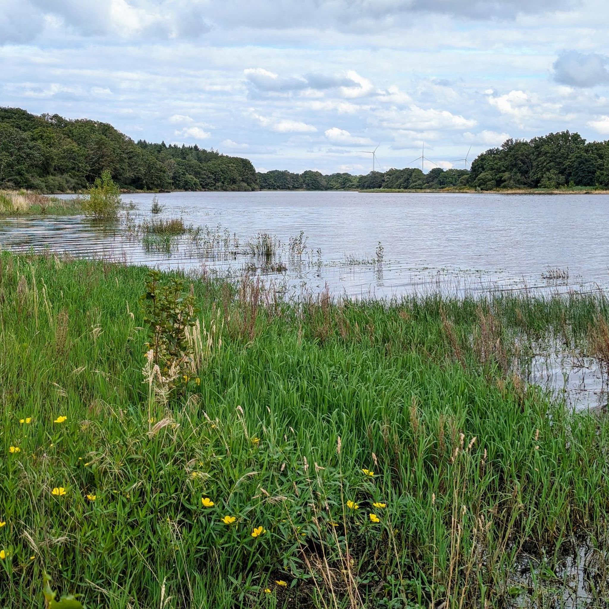
The west bridge of Lake Voireau offers a beautiful, unobstructed view of the reservoir. The largest body of water in Loire-Atlantique, this lake stretches through the heart of the forest. Its wooded banks and landscaped beaches make it a pleasant stopover for a nature break or a swim.
0
0

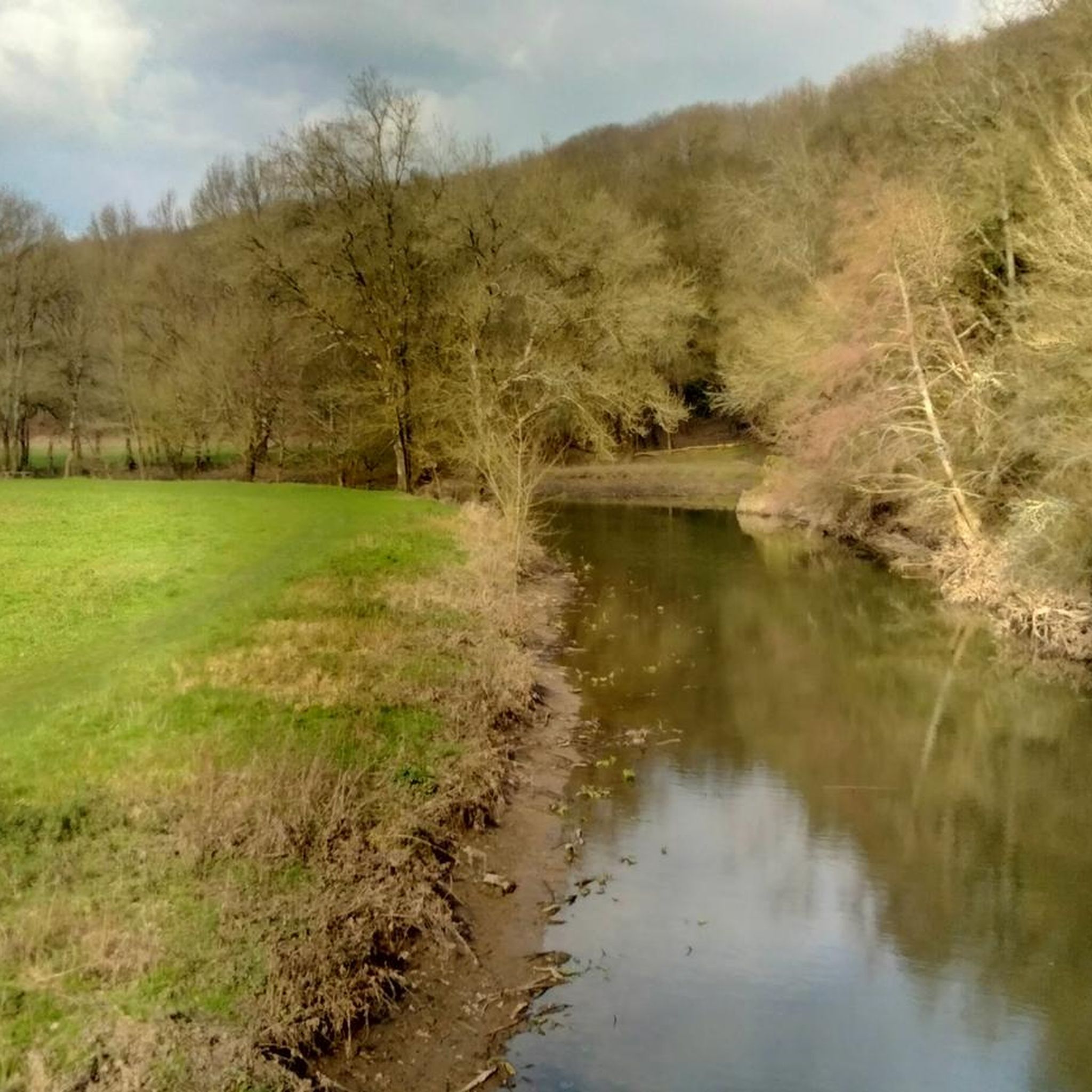
Beautiful 19th-century washhouse located on the Erdre River. A footbridge provides a beautiful view of the washhouse and the river. Picnic tables are available.
1
0

The Grand Réservoir de Vioreau, located near Joué-sur-Erdre in the Pays de la Loire region, is an impressive body of water covering approximately 900 hectares. Originally built to regulate the flow of the Erdre and ensure the water supply to the surrounding areas, the reservoir now provides a magnificent setting for mountain biking. The surrounding trails offer varied terrain, from smooth lakeside paths to challenging and rugged sections through the nearby forests.
1
0
The surroundings of the dam are currently under construction and closed to the public (6/28/24)
2
0

The wash house is located on the banks of the Erdre, at the exit of the town of Riaillé towards Ancenis. This beautiful building was abandoned for a long time before being restored in 1990-1991. This stone building would have been built around 1850, it measures 20 meters long and 6 meters wide. Today, the site of the wash house is a pleasant place, equipped for picnics as well as a footbridge spanning the Erdre to lead to the Riante Vallée room. https://www.riaille.fr/decouvre/sites-remarquables-et-sentiers-de-randonnee/sites-remarquables-de-la-commune
1
0

Dam under construction until July 2024. No water in the lake.
0
0
Frequently Asked Questions
What kind of terrain can I expect on running routes around Riaillé?
Riaillé offers a diverse natural landscape characterized by forests, ponds, and river valleys. You'll find routes with gentle elevations and varied terrain, from shaded pathways around ponds like the Étang de la Provostière to trails along the Erdre River valley. The area provides a mix of natural surfaces and some paved sections, catering to different running preferences.
Are there running trails suitable for beginners or those looking for an easy jog?
Yes, Riaillé has options for all ability levels. While many routes are classified as moderate, there are also easier paths available. For instance, the area around the Étang de la Provostière offers relatively flat and preserved natural settings, ideal for a relaxed run. Komoot lists 11 easy routes out of 120 total running tours in the region.
What natural features or landmarks can I see while jogging in Riaillé?
Riaillé's running routes are rich in natural beauty and historical points of interest. You can explore the extensive Lac de Vioreau, the largest navigable inland body of water in Loire-Atlantique, or the tranquil Étang de la Provostière. The Erdre River valley features sights like the Lavoir, water mills, and various crossings. Don't miss the View of the Étang de la Provostière or the West bridge at Lac de Vioreau. The elevated Mont Juillet also offers panoramic views of the Pays Nantais.
Are there any circular running routes in the Riaillé area?
Absolutely. Many of the popular running routes around Riaillé are circular, allowing you to start and finish at the same point. Examples include the popular Lac de Vioreau — loop — running from Vioreau, the Étang de la Provostière loop from Château de la Provostière, and the Plan d'Eau de Teillé loop from Teillé, which connects two ponds.
What is the best time of year to go running in Riaillé?
Riaillé is enjoyable for running throughout much of the year. Spring offers beautiful wildflowers along routes like the Rigole des Ajaux. Summer provides refreshing shaded archways, particularly around the Étang de la Provostière, making it pleasant even on warmer days. The diverse landscapes ensure scenic runs in most seasons.
Are the running trails in Riaillé suitable for families or running with children?
Yes, many trails are suitable for families. The varied lengths and difficulty levels mean you can find routes that are appropriate for different ages and fitness levels. Shorter, flatter loops around ponds, such as the Provostière Circuit, are often a good choice for a family outing. Always check the route details for specific suitability.
Can I bring my dog on the running routes in Riaillé?
While specific regulations can vary by location, many natural trails in France are generally dog-friendly, especially if your dog is kept on a leash. Riaillé's extensive network of forest and pond trails provides ample space for you and your canine companion to enjoy a run together. It's always best to check local signage for any specific restrictions in protected areas like the Lac de Vioreau.
Where can I park when accessing running trails in Riaillé?
Parking is generally available near popular trailheads and natural sites. For example, you can often find parking facilities close to the Lac de Vioreau, the Étang de la Provostière, or within the commune of Riaillé itself, providing convenient access to the various running routes.
How long are the running routes around Riaillé?
The running routes in Riaillé vary significantly in length. You can find shorter loops, such as the 5.1-mile (8.1 km) Étang de la Provostière loop from Château de la Provostière, to longer trails like the 7.8-mile (12.6 km) Plan d'Eau de Teillé loop from Teillé. The region offers a total of 120 running tours, so you'll find options to match your desired distance.
What do other runners say about the trails in Riaillé?
The running routes in Riaillé are highly rated by the komoot community, with an average score of 4.0 stars from over 50 reviews. More than 1000 runners have used komoot to explore Riaillé's varied terrain. Reviewers often praise the diverse natural landscapes, the tranquility of the forest and pond trails, and the well-maintained paths that offer a refreshing running experience.
Are there any running routes that offer panoramic views?
Yes, for panoramic views, you should consider routes that incorporate Mont Juillet. This elevated point provides one of the most beautiful panoramic views of the Pays Nantais, complete with an orientation table and dedicated hiking trails that are also suitable for running.
Can I find routes that combine running with historical exploration?
Absolutely. Riaillé's industrial past is evident along several routes. For example, the Provostière Circuit around the Étang de la Provostière allows you to enjoy a preserved natural setting alongside historical buildings like the master's house of the Forges and the charcoal shed. The Orée des Bois Circuit also passes historical remnants like the chimney of the blast furnace.
Most popular attractions around Riaillé

Get inspired with the komoot mobile app


Explore more
Browse the best Running Trails & Routes in other regions.
