The best running trails around Castagniers
4.4
(139)
12,097
runners
321
runs
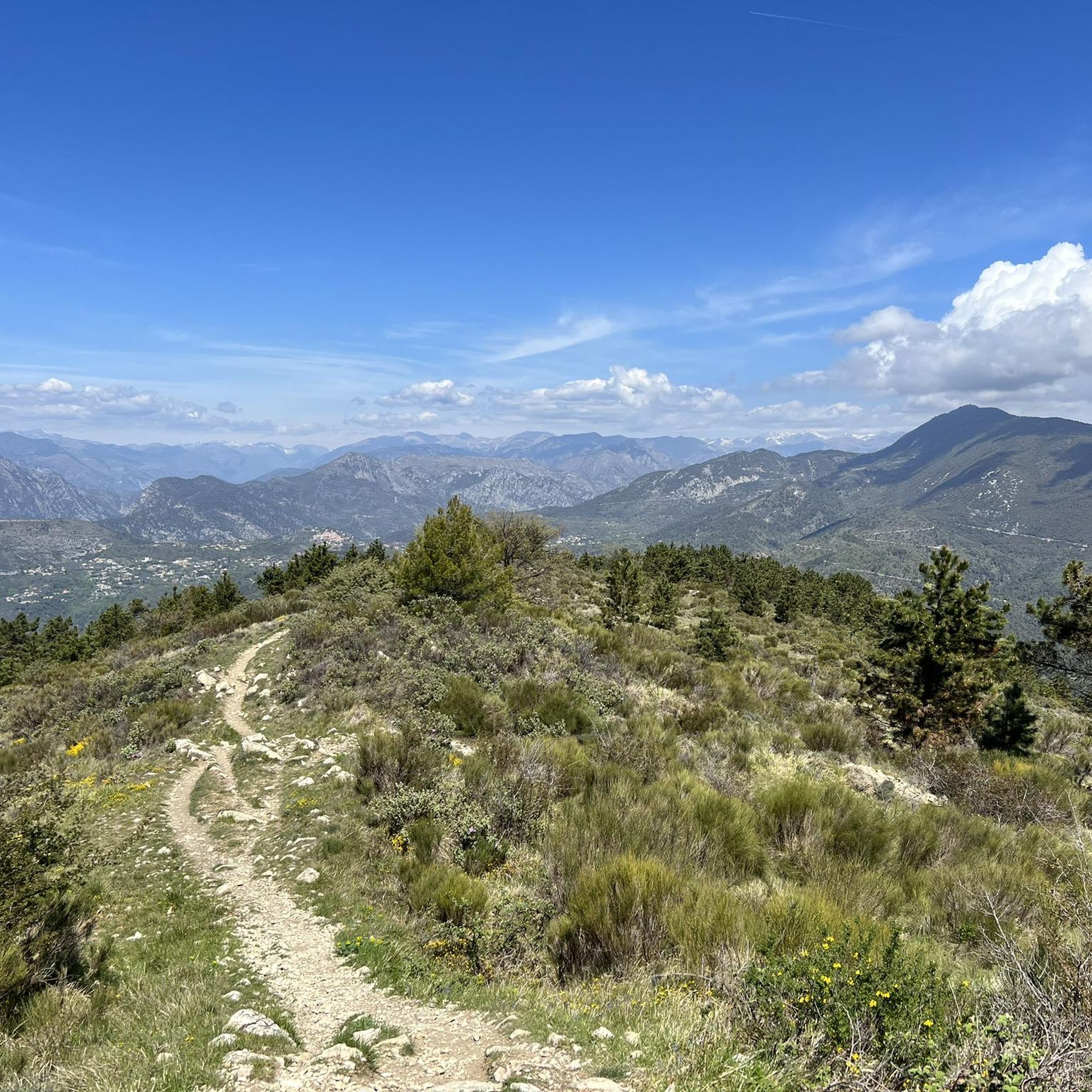
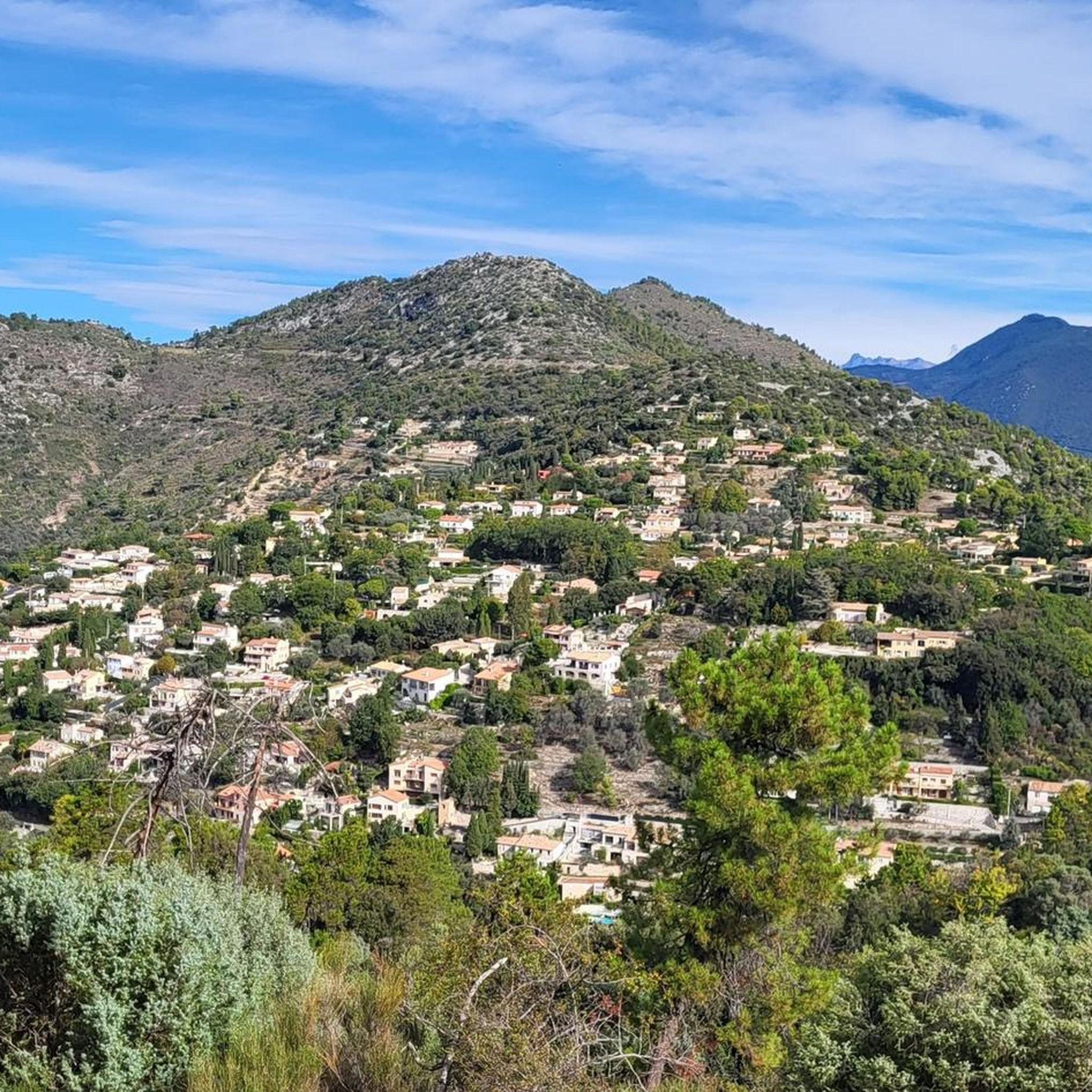
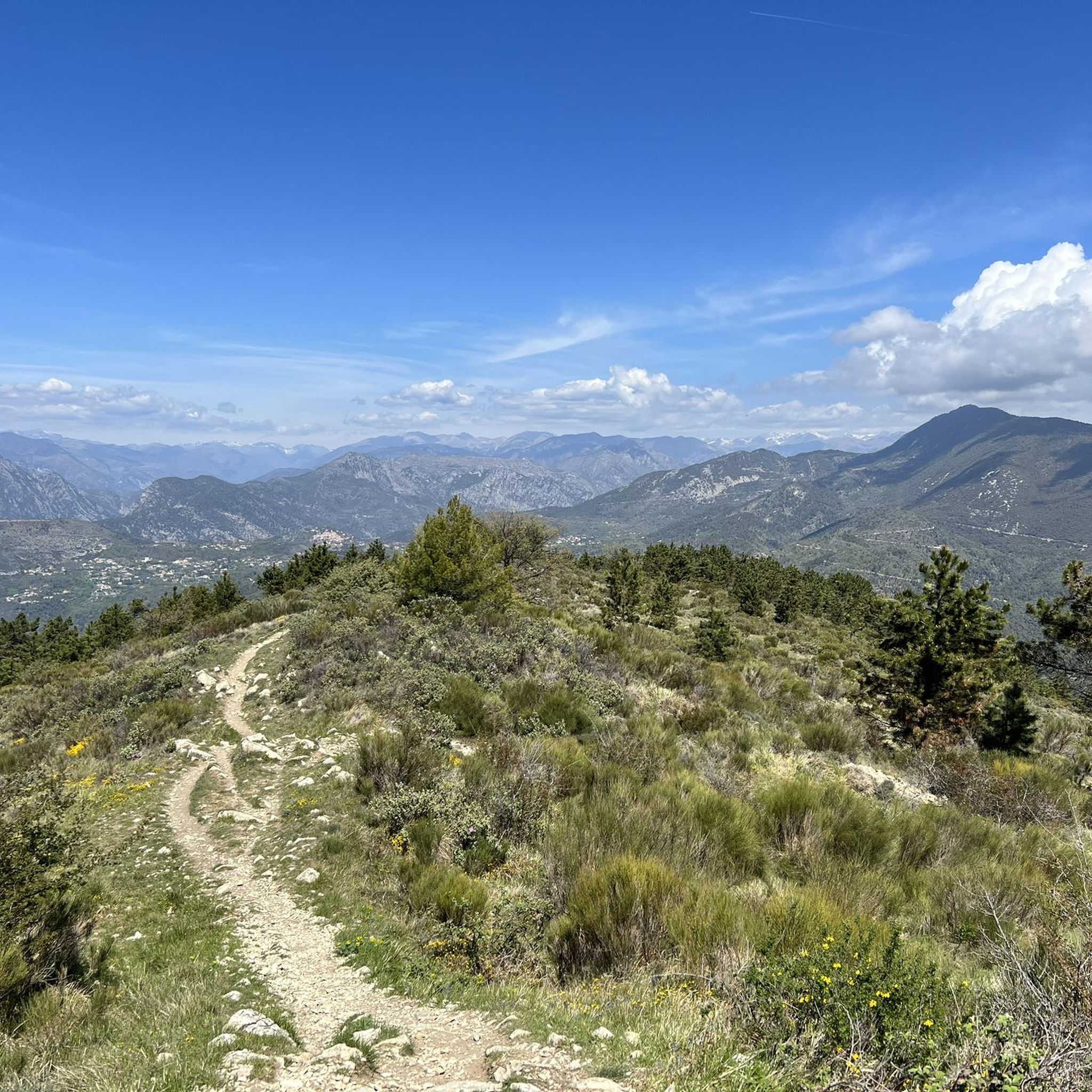
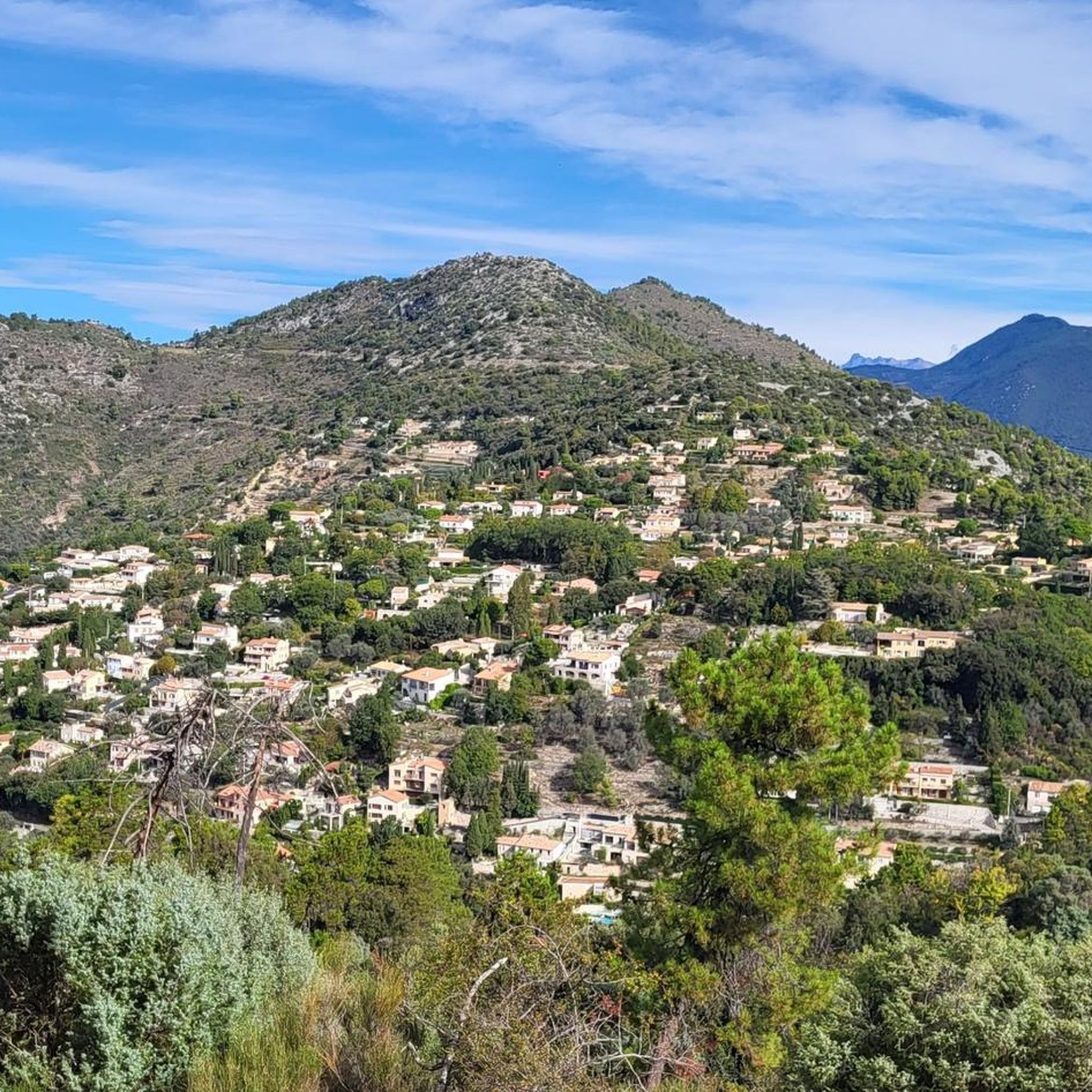
Jogging around Castagniers offers diverse landscapes characterized by hilly terrain and abundant Mediterranean vegetation, including ancient olive groves. The region features varied altitudes, ranging from 68 to 881 meters, providing options from gentle slopes to challenging ascents. Mont Cima, rising to 878 meters, dominates the landscape and offers panoramic views over the Var plain. An extensive network of trails, including paths alongside the Vesubie Canal, makes Castagniers a suitable destination for running.
Best jogging routes around Castagniers
- The most popular…
Last updated: June 28, 2026
4.1
(8)
320
runners
13.9km
01:53
610m
610m
Hard run. Very good fitness required. Mostly accessible paths. Some sure footedness required.
42
runners
9.88km
01:12
360m
360m
Hard run. Very good fitness required. Mostly paved surfaces. Suitable for all skill levels.

Sign up for free
5.0
(2)
29
runners
16.9km
02:36
1,030m
1,030m
Hard run. Very good fitness required. Sure-footedness, sturdy shoes and alpine experience required.
29
runners
9.22km
00:58
100m
100m
Moderate run. Good fitness required. Mostly paved surfaces. Suitable for all skill levels.
29
runners
9.90km
01:26
520m
520m
Hard run. Very good fitness required. Mostly paved surfaces. Suitable for all skill levels.
Get access to more routes and recommendations from other explorers.
Sign up for free
Already have an account?
Our route recommendations are based on thousands of hikes, rides, and runs completed by other people on komoot.
Start today with a free account
Your next adventure awaits.
Login or Signup
Tips from the Community

Downhill trail running, technical but fun
0
0


From up here, there is a magnificent view in all directions. There is a memorial plaque for a local hiker and panoramas where the names of the mountains are noted.
0
0


Remember to take a headlamp to go down into the cave.
1
0

magnificent panorama with view over the Var plain
1
0
Frequently Asked Questions
How many running routes are available around Castagniers?
Castagniers offers a wide selection of running routes, with over 300 trails available for you to explore. These routes cater to various fitness levels, ranging from moderate paths to more challenging ascents.
What kind of terrain can I expect on the jogging trails in Castagniers?
The jogging trails around Castagniers are characterized by hilly terrain and abundant Mediterranean vegetation, including ancient olive groves. You'll find varied altitudes, from gentle slopes to challenging ascents, with some routes reaching up to 881 meters. Expect a mix of natural paths and scenic viewpoints.
Are there any easy or beginner-friendly running paths in Castagniers?
Yes, while many routes are moderate to difficult, there are 16 easy running paths available around Castagniers. These trails are perfect for beginners or those looking for a less strenuous run amidst the beautiful Mediterranean scenery.
Can I find circular running routes in the Castagniers area?
Many of the running routes in Castagniers are designed as loops, offering circular paths that bring you back to your starting point. For example, the Mont Cima loop from Aspremont is a challenging 9.9 km circular route that provides stunning views.
What are some notable landmarks or scenic viewpoints I can see while running?
Jogging routes in Castagniers often feature panoramic views over the Var plain. From higher elevations like Mont Cima (878m), you can enjoy magnificent vistas. The area also includes historical sites such as Fort du Mont Chauve d'Aspremont, which can be seen along some trails.
Are there any dog-friendly running trails in Castagniers?
Many natural trails in the Castagniers region are suitable for running with dogs, provided they are kept under control, especially in areas with wildlife or livestock. It's always recommended to check local regulations for specific trails, but generally, the extensive network of paths welcomes well-behaved canine companions.
What is the best time of year to go running in Castagniers?
The Mediterranean climate makes Castagniers suitable for running for much of the year. Spring and autumn offer pleasant temperatures, ideal for longer runs. During summer, early mornings or late afternoons are best to avoid the heat, and some routes may offer more shade. Winter running is also possible, though conditions can vary.
Are there any long-distance running trails with significant elevation gain?
Absolutely. Castagniers is known for its challenging ascents. For instance, The collar loop from Aspremont is a 16.7 km trail with over 1000 meters of elevation gain, offering a demanding workout and views towards Mont Cima.
Where can I find parking or public transport access for the running routes?
Parking is generally available in and around Castagniers village, as well as near popular trailheads in surrounding areas like Aspremont. For public transport, local bus services connect Castagniers to Nice and other nearby towns, providing access points to various trail networks. It's advisable to check specific route starting points for the most convenient access.
What do other runners enjoy most about jogging in Castagniers?
The running routes in Castagniers are highly rated by the komoot community, with an average score of 4.4 stars from over 130 reviews. Runners frequently praise the diverse landscapes, the panoramic views over the Var plain, and the variety of terrain that caters to different fitness levels, from serene olive groves to challenging mountain ascents.
Are there any family-friendly jogging routes in Castagniers?
While many routes feature hilly terrain, there are easier paths suitable for families looking to jog together. These routes often have less elevation gain and are shorter in distance, allowing for a more relaxed experience. Look for trails marked as 'easy' in the route descriptions for the best family options.
Are there any permits required for jogging on trails near Castagniers?
Generally, no specific permits are required for jogging on the public trails and paths around Castagniers. The extensive network of trails, including sections of the GR5, is freely accessible. However, always respect private property and any posted signs, especially when traversing through agricultural areas like olive groves.
Most popular routes around Castagniers
Most popular attractions around Castagniers

Get inspired with the komoot mobile app


Explore more
Browse the best Running Trails & Routes in other regions.
