The best running trails around Gilette
4.5
(41)
3,130
runners
146
runs
Jogging routes around Gillette, Wyoming, traverse a landscape characterized by expansive plains and an extensive network of urban and regional park trails. The city itself offers over 67 miles of dedicated pathways suitable for running, often featuring amenities within its numerous parks. Beyond the city limits, the terrain transitions to broader natural areas, including the Powder River Basin, with distant views of the Bighorn Mountains and Black Hills. This region provides diverse running environments, from flat, accessible city paths to more rugged trails in surrounding natural attractions.
Best jogging routes around Gillette
- The most popular jogging route is Lake Broc loop from Le Broc, an easy 2.8 miles (4.5 km) trail that takes 28 minutes to complete, offering a scenic path around the lake.
- Another top favourite among local runners is Mont Vial – Mont Vial loop from Plan-du-Var, a difficult 15.1 miles (24.3 km) path. This route features significant elevation gain through varied terrain, making it a challenging option.
- Local runners also love the Le Broc – Le Broc loop from Le Broc, a 5.2 miles (8.4 km) trail leading through demanding and varied terrain, often completed in about 1 hour 9 minutes.
- Jogging around Gillette is defined by accessible city park pathways, extensive bike path trails, and the broader natural features of the Powder River Basin. The network offers options for different ability levels, from easy urban loops to more difficult trails with elevation changes.
- The routes in Gillette are highly rated by the komoot community with an average score of 4.6 stars from over 40 reviews. More than 3000 runners have used komoot to explore Gillette's varied terrain.
Last updated: June 29, 2026
71
runners
4.69km
00:30
30m
20m
Easy run. Great for any fitness level. Mostly paved surfaces. Suitable for all skill levels.
24
runners
24.3km
04:17
1,680m
1,680m
Hard run. Very good fitness required. Sure-footedness, sturdy shoes and alpine experience required.

Sign up for free
23
runners
8.38km
01:09
370m
370m
Hard run. Very good fitness required. Mostly paved surfaces. Suitable for all skill levels.
51
runners
3.82km
00:24
20m
10m
Easy run. Great for any fitness level. Mostly paved surfaces. Suitable for all skill levels.
18
runners
9.51km
01:18
470m
470m
Hard run. Very good fitness required. Mostly paved surfaces. Suitable for all skill levels.
Get access to more routes and recommendations from other explorers.
Sign up for free
Already have an account?
Our route recommendations are based on thousands of hikes, rides, and runs completed by other people on komoot.
Start today with a free account
Your next adventure awaits.
Login or Signup
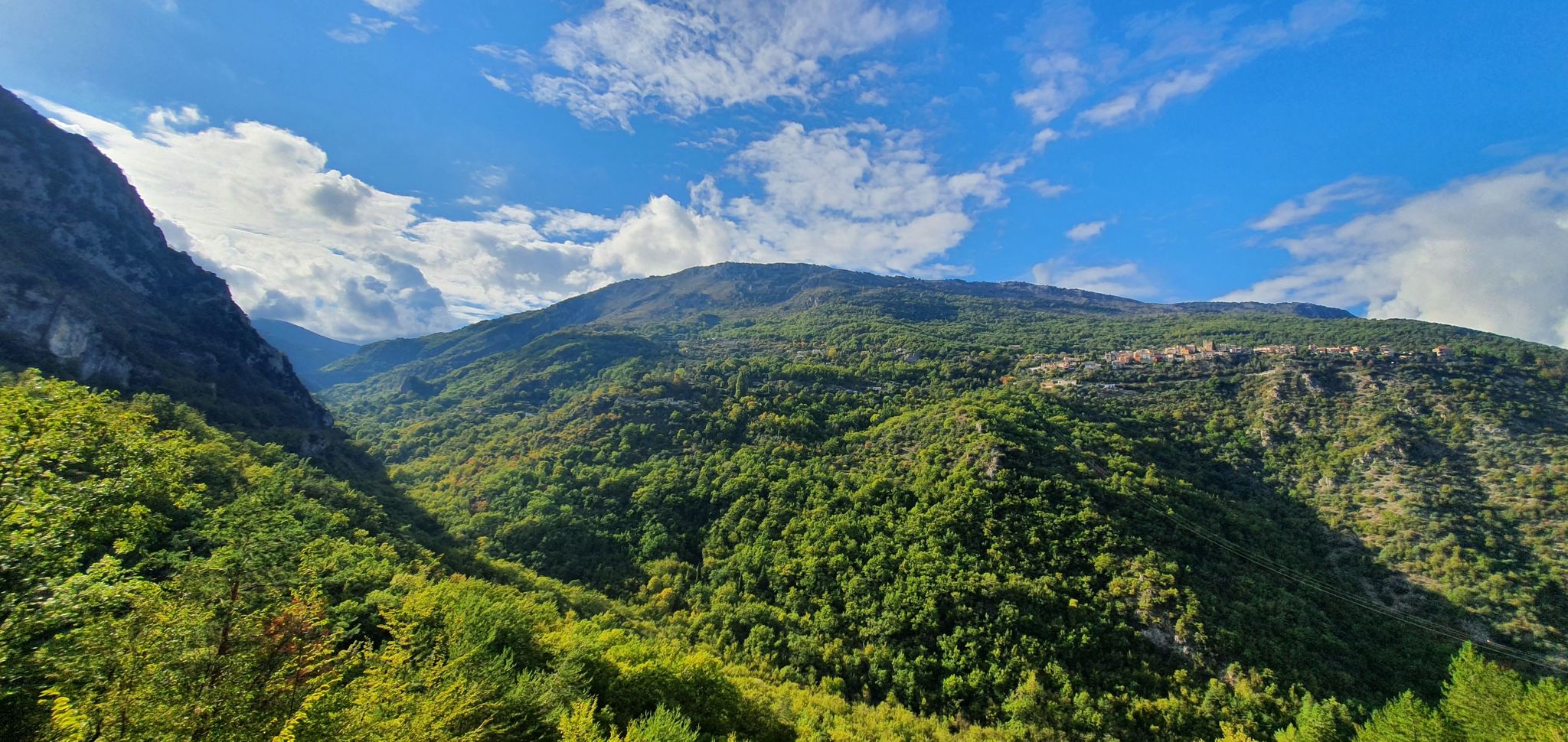
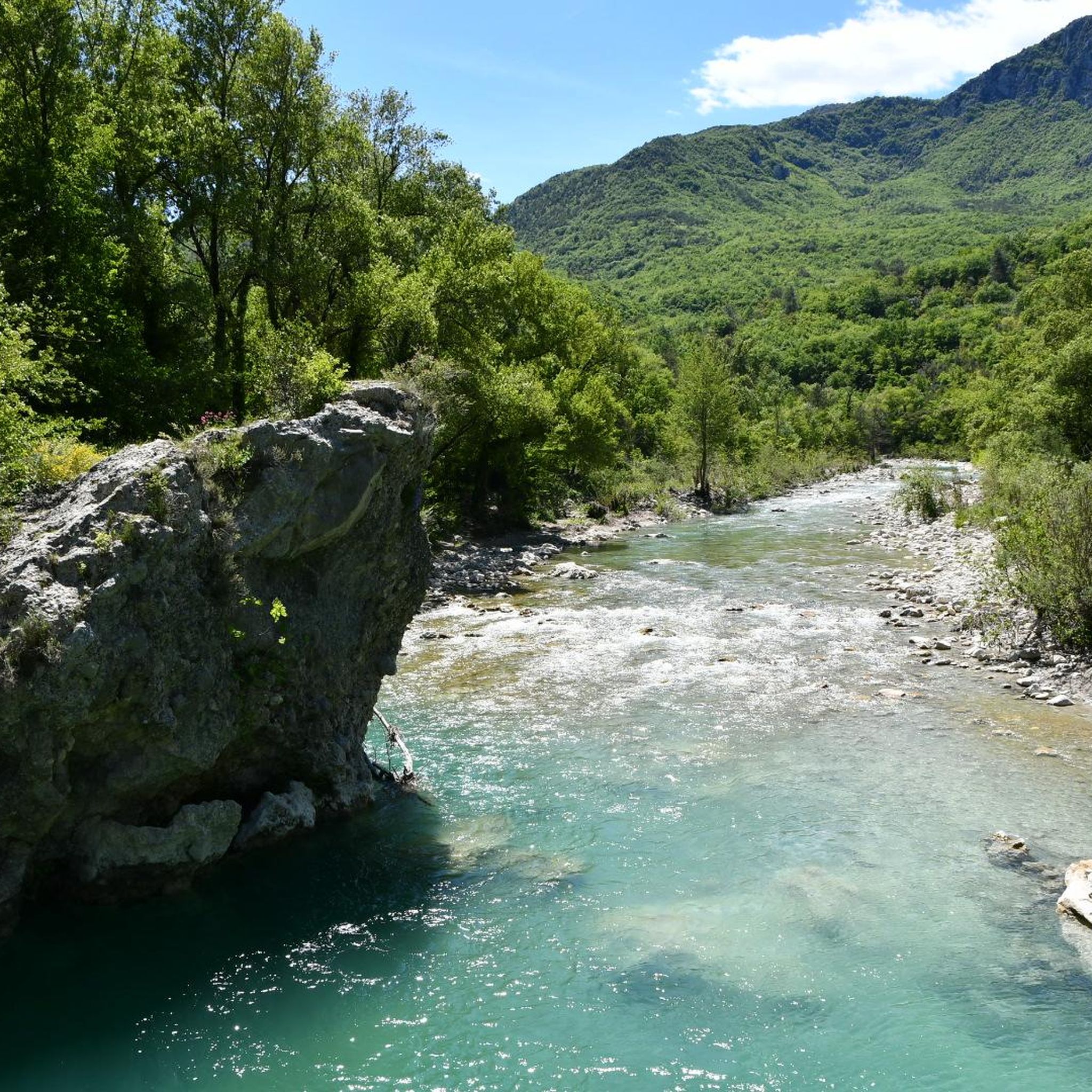
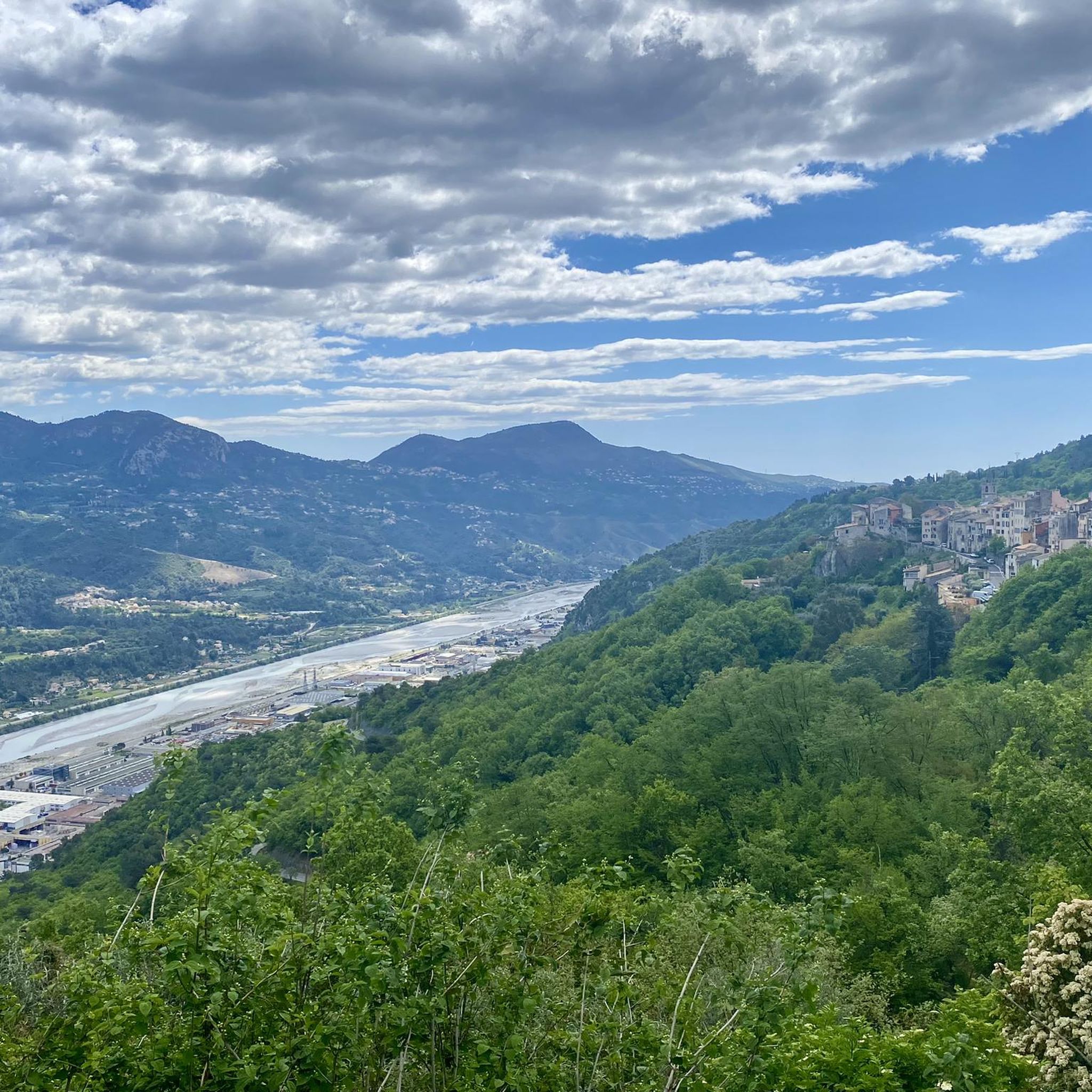
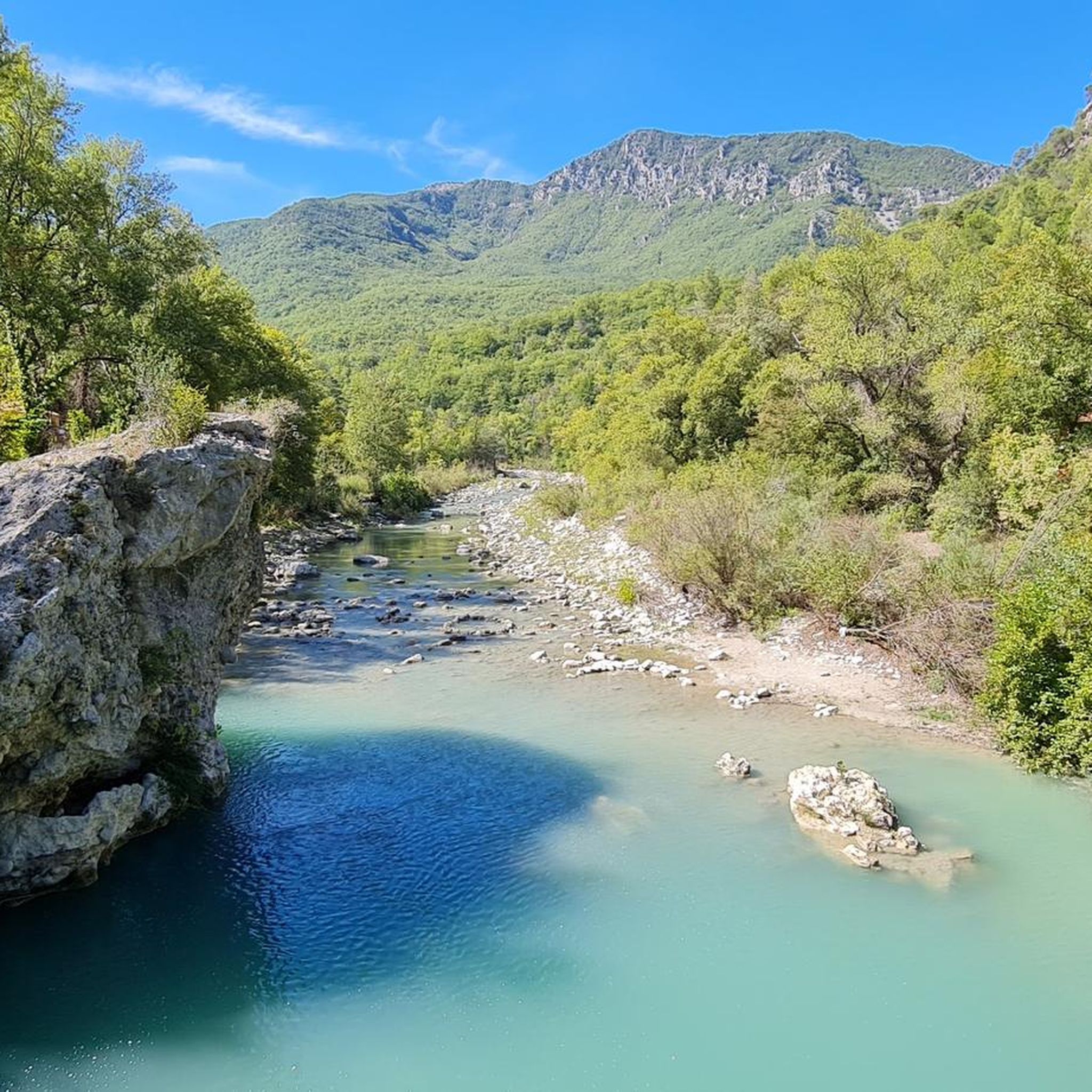
Other adventures around Gilette

Tips from the Community

Beautiful view overlooking the valley!
0
0

Very nice view of the Plaine du Var / Nice and 360° around.
0
0

A picturesque little village overlooking the Var and Esteron valleys and perched high between Carros and Bouyon. Beautiful little streets, old stone buildings and central arcades give this town a lot of charm!
1
1
Culminating at 1550 meters, Mont Vial is one of the few peaks that can be identified from the sea. From the top, enjoy the beautiful panoramic view of the neighboring peaks!
0
0

You will regularly see local cyclists stop for a break in this village. The views are also splendid.
2
1


Although Mont Vial can seem ubiquitous, cyclists have to travel far into the backcountry to find the turning, which is tucked away somewhere between Toudon and Tourette-du-Chateau. Those who search will be rewarded, however, with a deserted, small, irregularly surfaced scrawl of switchbacks up the rocky mountain face. Perfection, in our eyes at least. Mont Vial is part of our Montagnes à la Carte series, head over to https://bit.ly/3eCNiEJ and claim your badge if you rode this classic.
3
0
Frequently Asked Questions
How many running routes are available around Gillette, Wyoming?
There are over 130 running routes around Gillette, Wyoming, catering to various fitness levels. You'll find a good mix, with 6 easy routes, 36 moderate routes, and 88 more challenging options for experienced runners.
Are there easy or beginner-friendly jogging paths in Gillette?
Yes, Gillette offers several easy and beginner-friendly jogging paths. The city's Parks Division manages over 67 miles of bike path trails, which are well-suited for walking and running. Notable options include the McManamen Park Pathway (1.31 miles) and the Dalbey Park Pathway (1.22 miles), both providing accessible and pleasant running experiences.
What kind of terrain can I expect on running trails in Gillette?
The terrain for running in Gillette is quite diverse. Within the city, you'll find mostly flat, paved pathways in parks and along bike trails. Beyond the city limits, the landscape transitions to broader natural areas within the Powder River Basin, offering more varied terrain, including rolling plains and views of distant mountains like the Bighorns and Black Hills.
Are there any scenic viewpoints or natural features to see while running in Gillette?
Absolutely! While running on city pathways, you can enjoy picturesque spots like Dalbey Memorial Park with its fishing lake. For more expansive views, the region around Gillette offers diverse Wyoming scenery, including the vast Powder River Basin. Although a bit further, Gillette is also a gateway to stunning natural attractions like Keyhole State Park and Devils Tower National Monument, which offer breathtaking views and trails.
Are there family-friendly running trails in Gillette?
Many of Gillette's urban park pathways are excellent for families. Parks like Dalbey Memorial Park and City Park offer safe, paved routes, often with amenities like playgrounds and picnic areas nearby, making them ideal for a family outing that includes a run or walk. The extensive network of bike path trails within the city is also very suitable for families.
Can I bring my dog on the running trails in Gillette?
Many of the outdoor trails and pathways in Gillette's city parks are dog-friendly, provided your pet is on a leash and you clean up after them. It's always a good idea to check specific park regulations, but generally, the extensive bike path trails and park pathways are suitable for running with your canine companion.
What are the best times of year for running in Gillette, Wyoming?
Spring and fall generally offer the most pleasant running conditions in Gillette, with milder temperatures. Summers can be warm, and winters can be cold with snow, but dedicated runners still utilize the trails. For indoor options during colder months, the Campbell County Recreation Center features an indoor running track.
Are there any circular or loop running routes in Gillette?
Yes, the city's park system is designed with many loop options. Pathways like the McManamen Park Pathway and Dalbey Park Pathway are excellent examples of routes that allow for circular runs, making it easy to start and finish at the same point without retracing your steps.
What do other runners think about the trails in Gillette?
The running routes in Gillette are highly regarded by the komoot community, boasting an average score of 4.6 stars from over 40 reviews. More than 3000 runners have used komoot to explore Gillette's varied terrain, often praising the accessibility of the city paths and the scenic beauty of the surrounding areas.
Are there any specific landmarks or points of interest along the running routes?
Within Gillette, Dalbey Memorial Park offers a scenic fishing lake. While not directly on every running route, the city is a gateway to significant landmarks like Devils Tower National Monument and Keyhole State Park, which provide opportunities for hiking and exploring dramatic landscapes a short drive from the city.
Where can I find parking for running trails in Gillette?
Most of Gillette's city parks, which host many of the popular running pathways, offer dedicated parking areas. For example, Dalbey Memorial Park and City Park have convenient parking facilities, making it easy to access the trails.
Are there any challenging running routes for experienced runners in Gillette?
While the immediate city offers many accessible paths, the broader region around Gillette provides more challenging options. The guide indicates 88 difficult routes in the area. These typically involve greater distances and elevation changes as you venture into the more rugged natural landscapes surrounding the city, offering a good workout for experienced runners.
Most popular attractions around Gilette

Get inspired with the komoot mobile app


Explore more
Browse the best Running Trails & Routes in other regions.
