The best road cycling routes around Hesdigneul-Lès-Boulogne
4.4
(196)
5,834
riders
36
rides
Road cycling routes around Hesdigneul-Lès-Boulogne traverse a varied landscape characterized by agricultural lands, dense forests, and proximity to the Opal Coast. The region offers a mix of terrain, from well-paved surfaces through green spaces to routes with notable elevation changes. The river Liane also forms part of the natural environment, contributing to the diverse scenery. This area provides a rich backdrop for road cycling, with options for different fitness levels.
Best road cycling routes around Hesdigneul-Lès-Boulogne
- The most popular road…
Last updated: July 16, 2026
4.7
(3)
157
riders
76.5km
03:16
460m
460m
Moderate road ride. Good fitness required. Some segments of this route may be unpaved and difficult to ride.
75
riders
82.3km
03:56
750m
750m
Moderate road ride. Good fitness required. Mostly well-paved surfaces and easy to ride.

Sign up for free
67
riders
113km
05:55
1,610m
1,610m
Hard road ride. Very good fitness required. Mostly well-paved surfaces and easy to ride.
46
riders
41.7km
01:58
240m
240m
Moderate road ride. Great for any fitness level. Some segments of this route may be unpaved and difficult to ride.
5.0
(2)
59
riders
150km
06:37
830m
830m
Hard road ride. Very good fitness required. Some segments of this route may be unpaved and difficult to ride.
Get access to more routes and recommendations from other explorers.
Sign up for free
Already have an account?
Our route recommendations are based on thousands of hikes, rides, and runs completed by other people on komoot.
Start today with a free account
Your next adventure awaits.
Login or Signup


Tips from the Community

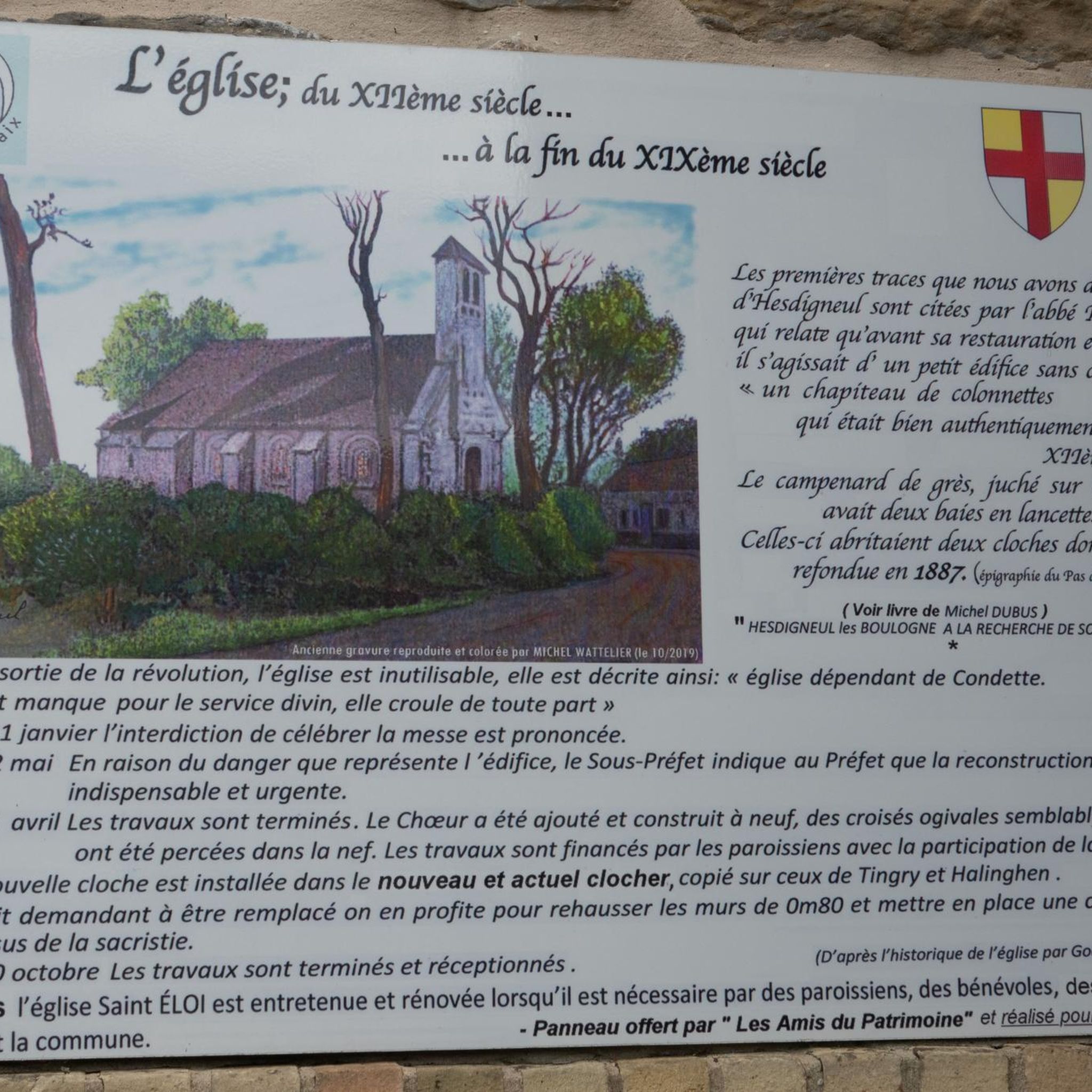
Definitely worth seeing, although a rather sad place
0
0

Sacred climb, rivals Haut Pichot for steepness, less so for length.
0
0

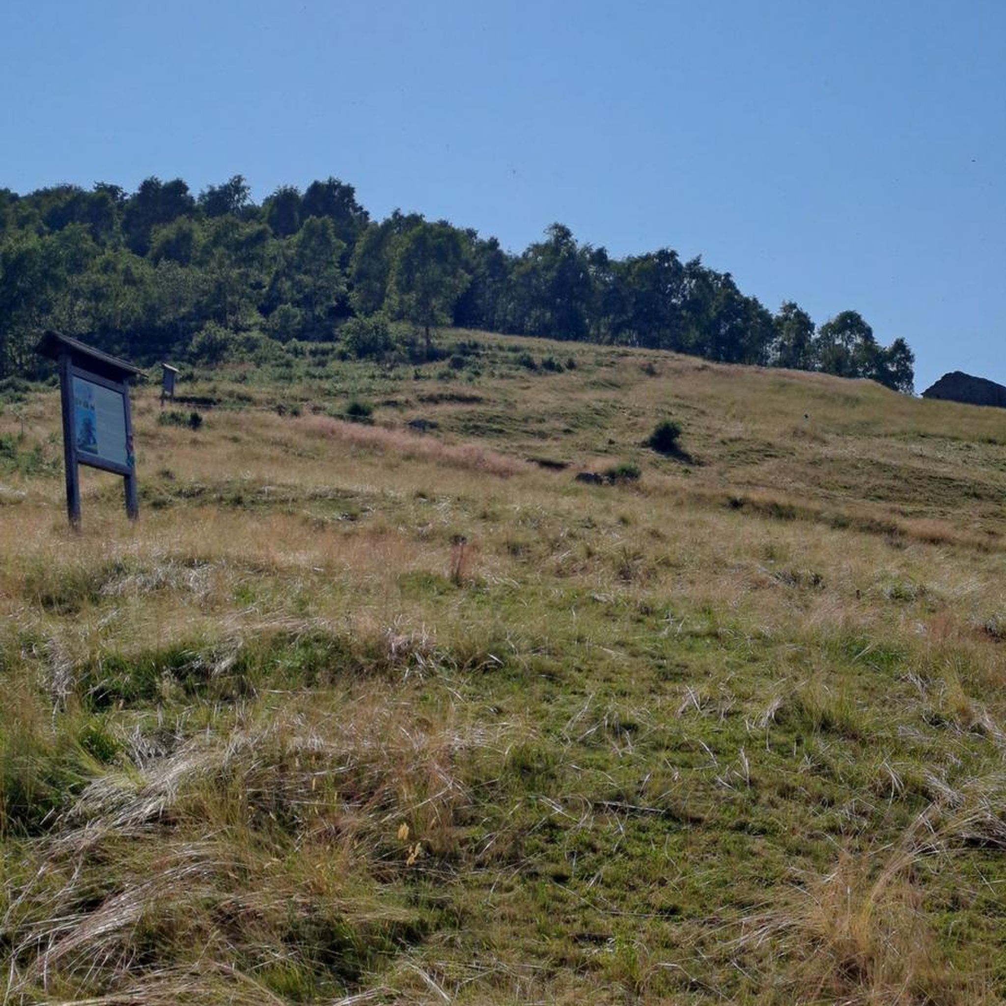
Somewhat remote, but very worth seeing
0
0
The Canche (Dutch: Kwinte) is a river in France, flowing through the Pas-de-Calais department in the Hauts-de-France region. It originates in the Ternois region, within the commune of Gouy-en-Ternois. Initially flowing southeast, it then turns northwest and, after approximately 100 kilometers, empties into the English Channel as an estuary north of Étaples and Le Touquet-Paris-Plage. Here, the Canche is strongly influenced by the tides. This results in significant fluctuations in the river's water level and the formation of extensive salt marshes.
0
0
The cycle path itself is very good, but there are surprisingly frequent and very large potholes.
0
0
Frequently Asked Questions
How many road cycling routes are available around Hesdigneul-Lès-Boulogne?
The region around Hesdigneul-Lès-Boulogne offers a wide selection of road cycling routes, with over 40 distinct trails available on komoot. These routes cater to various skill levels, including easy, moderate, and difficult options.
What kind of terrain can I expect on road cycling routes in this area?
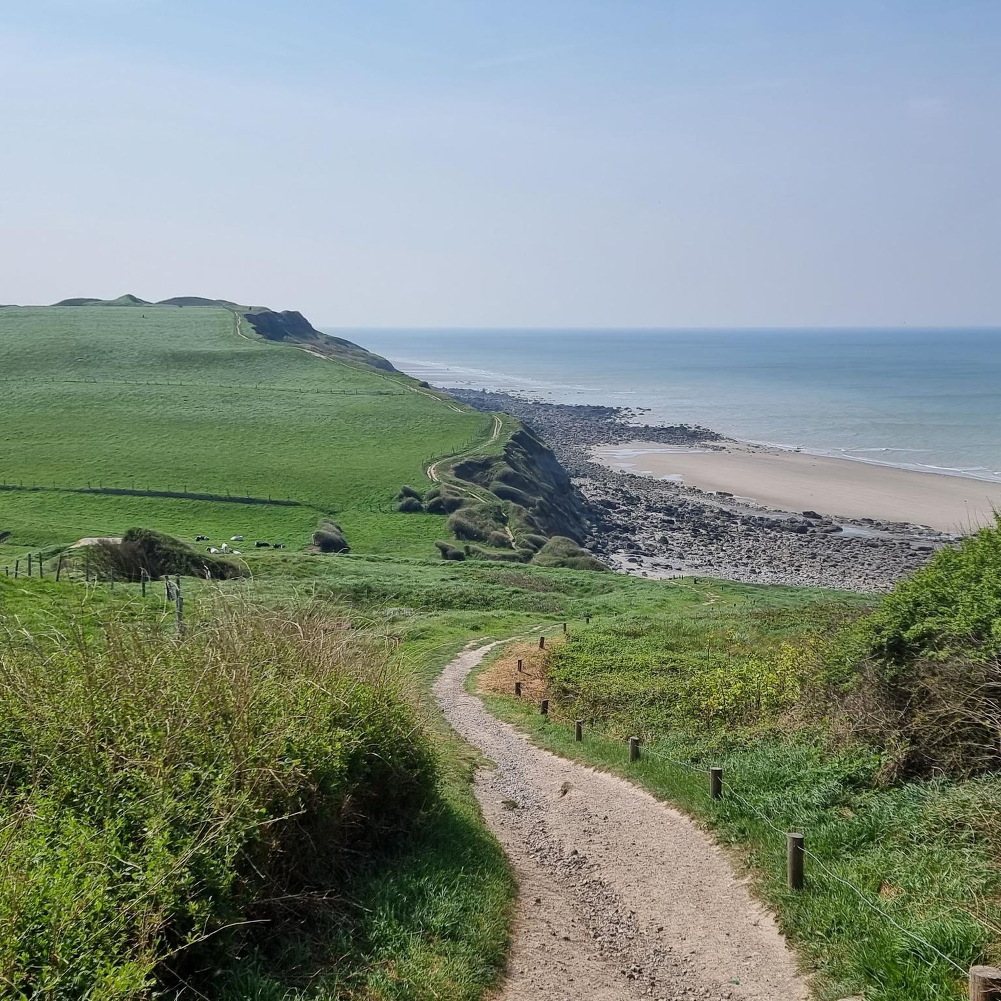
Road cycling routes around Hesdigneul-Lès-Boulogne traverse a varied landscape. You'll find mostly well-paved surfaces through agricultural lands and dense forests, with some routes offering notable elevation changes. The proximity to the Opal Coast also means some routes provide coastal views.
Are there any easy road cycling routes suitable for beginners or those seeking a relaxed ride?
Yes, while many routes are moderate or difficult, there are easy road cycling options available. These routes typically feature well-paved surfaces and less challenging elevation profiles, making them suitable for beginners or those looking for a more relaxed experience.
What are some notable historical or natural attractions I can see along the road cycling routes?
Many routes offer opportunities to explore the region's rich history and natural beauty. For instance, the Hardelot Castle – British Military Cemetery loop from Hesdigneul explores forested areas and historical sites like the British Military Cemetery. You can also pass by the historic Hardelot Castle. Other routes, like the Wimereux Beach – Fort d'Ambleteuse loop from Hesdigneul, offer coastal views and pass by historical fortifications such as Fort d'Ambleteuse.
Are there any long-distance or challenging road cycling routes for experienced riders?
Yes, experienced riders will find several challenging routes. For example, the Haut Pichot Climb – Le Crotoy loop from Hesdigneul is a difficult route spanning over 150 kilometers with significant elevation gain, perfect for those seeking a demanding ride.
What is the best time of year to go road cycling in Hesdigneul-Lès-Boulogne?
The region is enjoyable for road cycling throughout much of the year. Spring and autumn generally offer pleasant temperatures and beautiful scenery. Summer is also popular, though routes through forests can provide welcome shade. Always check local weather forecasts before heading out.
Can I find circular road cycling routes around Hesdigneul-Lès-Boulogne?
Yes, many of the road cycling routes in the area are designed as loops, allowing you to start and finish in the same location. Examples include the British Military Cemetery – Mont Huet loop from Hesdigneul, which takes you through agricultural lands with varied elevation, and the British Military Cemetery – Étaples military cemetery loop from Hesdigneul.
Is the Vélomaritime (EuroVelo 4) accessible from Hesdigneul-Lès-Boulogne?
Yes, the Vélomaritime (EuroVelo 4) coastal bike path is accessible nearby. This route offers a scenic ride on small roads and farming paths, winding through the Les Deux-Caps National Site. You can find more information about this route on France Vélo Tourisme.
What do other cyclists say about road cycling in Hesdigneul-Lès-Boulogne?
The road cycling routes in Hesdigneul-Lès-Boulogne are highly rated by the komoot community, with an average score of 4.1 stars from over 10 reviews. More than 700 road cyclists have used komoot to explore the varied terrain, often praising the diverse landscapes and well-maintained paths.
Are there options for public transport to reach the cycling routes?
While specific public transport connections directly to trailheads for cyclists might vary, Hesdigneul-Lès-Boulogne is situated in the Pas-de-Calais department, which has regional transport networks. For detailed information on public transport options that accommodate bicycles, it's advisable to check local transport authority websites.
Where can I find more information about cycling in the wider Hauts-de-France region?
The Hauts-de-France region, where Hesdigneul-Lès-Boulogne is located, is known for its extensive network of bike paths. You can explore more cycling opportunities and regional guides on the Hauts-de-France Tourism website.
Most popular routes around Hesdigneul-Lès-Boulogne
Most popular attractions around Hesdigneul-Lès-Boulogne

Get inspired with the komoot mobile app


Explore more
Browse the best Road cycling routes in other regions.
