The best running trails around Jouillat
4.5
(4)
475
runners
56
runs
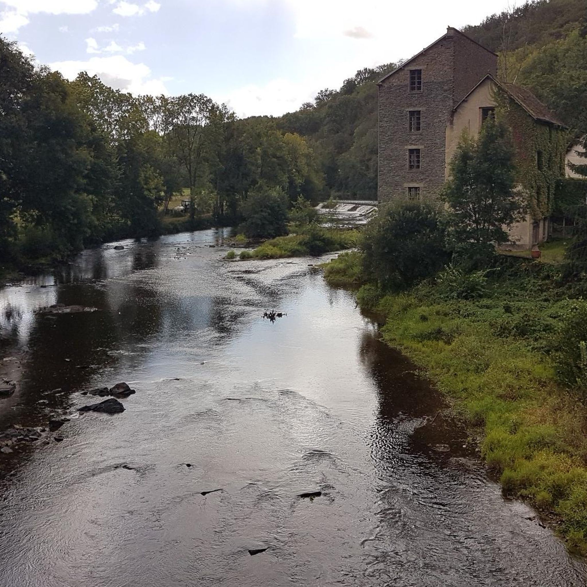
Jogging routes around Jouillat traverse the scenic valley of the Creuse river, characterized by farming areas and small hamlets. The terrain offers varied elevations, ranging from 283 meters to 546 meters, providing diverse challenges for runners. A prominent feature is the lake formed by the Champsanglard dam, which offers serene pathways along its shores. The region is predominantly rural, hilly, and wooded, ensuring tranquil running experiences.
Best jogging routes around Jouillat
- The most popular jogging route is View of the Glénic viaduct – Jouillat Castle loop from Glénic, an 8.7 miles (13.9 km) trail that takes 1 hour 44 minutes to complete. This difficult route features significant elevation gain and views of the Glénic viaduct.
- Another top favourite among local runners is View of the Glénic viaduct loop from Glénic, a moderate 4.8 miles (7.7 km) path. This route leads through varied terrain with a gentle gradient.
- Local runners also love the Running loop from Bonnat, a 4.7 miles (7.6 km) trail leading through rural landscapes, often completed in about 50 minutes.
- Jogging around Jouillat is defined by river valleys, rolling hills, and dense woodlands. The network offers options for different ability levels, from easy loops to challenging climbs.
- The routes in Jouillat are highly rated by the komoot community with an average score of 5.0 stars from 2 reviews. More than 500 runners have used komoot to explore Jouillat's varied terrain.
Last updated: June 27, 2026
34
runners
13.9km
01:44
300m
300m
Hard run. Very good fitness required. Mostly paved surfaces. Suitable for all skill levels.
16
runners
19.5km
02:24
380m
380m
Hard run. Very good fitness required. Mostly paved surfaces. Suitable for all skill levels.

Sign up for free
3.0
(1)
28
runners
8.50km
01:03
190m
190m
Moderate run. Good fitness required. Mostly paved surfaces. Suitable for all skill levels.
5.0
(1)
5
runners
7.64km
00:50
80m
80m
Moderate run. Good fitness required. Mostly paved surfaces. Suitable for all skill levels.
5.0
(1)
4
runners
5.19km
00:33
70m
70m
Moderate run. Good fitness required. Mostly paved surfaces. Suitable for all skill levels.
Get access to more routes and recommendations from other explorers.
Sign up for free
Already have an account?
Our route recommendations are based on thousands of hikes, rides, and runs completed by other people on komoot.
Start today with a free account
Your next adventure awaits.
Login or Signup


Tips from the Community

Beautiful architecture in the town and adopted commune of actress Anny Duperey.
0
0


The viaduct was built from 1902 to 1904 and was used for the passage of freight trains (until 1952) and passenger trains (until 1939). 202 meters long and 20 meters high, it is made up of granite stones extracted from the nearby Villegondry quarry.
1
0
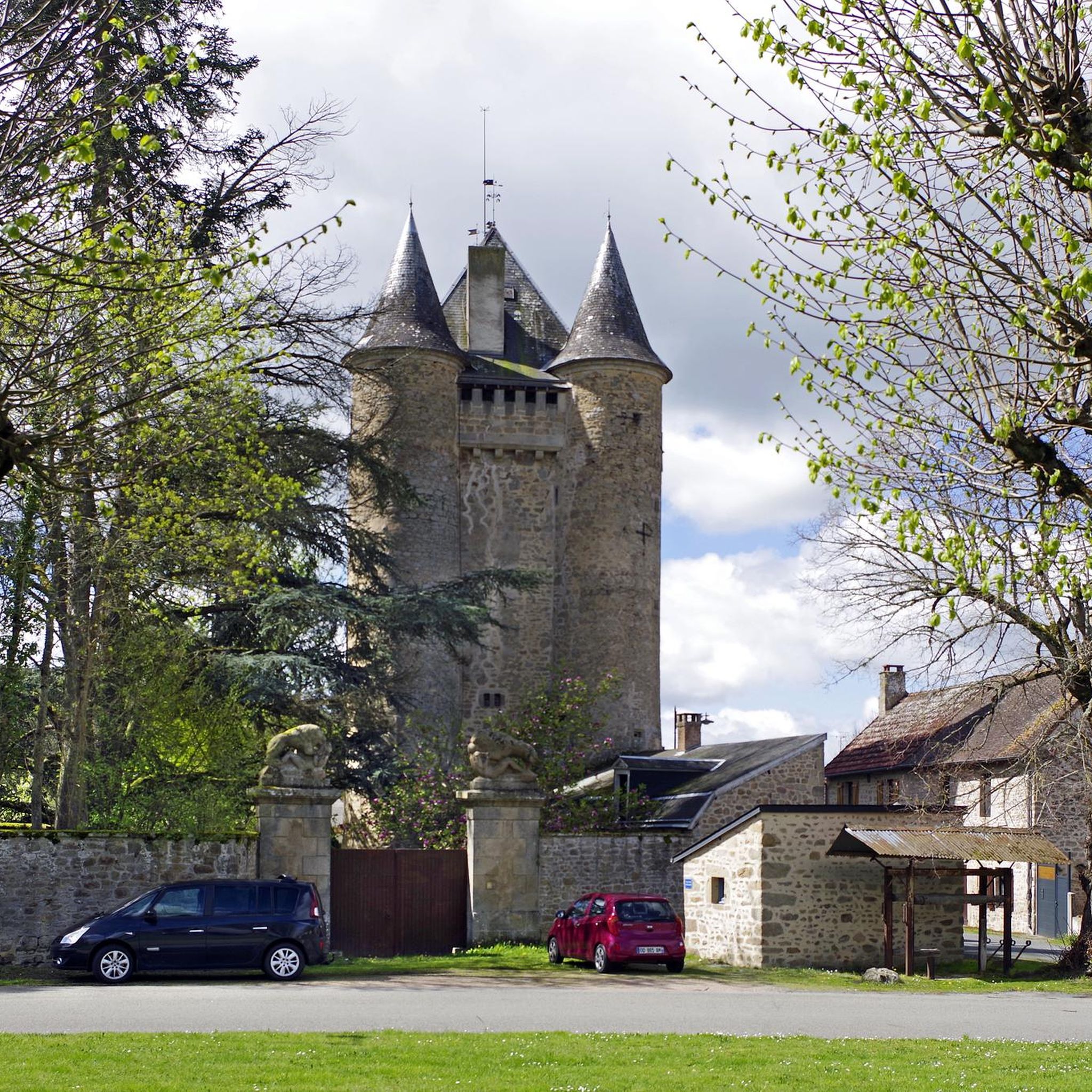
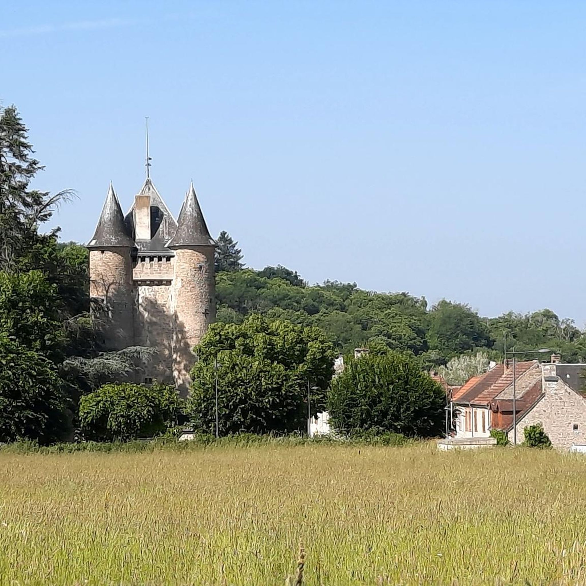
This 15th century castle has been included on the complementary list of historic monuments since 1926. It was initially a military tower. It was only developed for habitation in the 19th century.
1
0

Châtelus-Malvaleix is a small town in the Creuse which is home to several remarkable houses, fountains and wash houses. The Roussille lake offers a supervised beach in summer, a campsite and gîtes to enjoy the summer activities around the lake.
4
0

My route took me to the bottom of the village but I do not regret having passed through the village with this beautiful point of view
0
0

Perched on its rocky promontory at an altitude of 342 meters, the town of Glénic overlooks the Creuse and offers a remarkable view of the valley. Don't hesitate to pass by and stop here.
0
0
Frequently Asked Questions
How many running routes are available around Jouillat?
There are over 50 dedicated running routes around Jouillat, catering to various fitness levels. These trails allow you to explore the scenic valley of the Creuse river, its farming areas, and charming hamlets.
What kind of terrain can I expect on the jogging trails in Jouillat?
The terrain around Jouillat is quite varied, ranging from 283 meters to 546 meters in elevation. You'll find a mix of open fields, riverine scenery along the Creuse, and tranquil paths through rural, hilly, and wooded areas. This diversity offers engaging routes for all levels of runners.
Are there any easy running routes suitable for beginners or a relaxed jog?
Yes, Jouillat offers several easy running routes. For a gentle gradient and a quicker run, consider the Running loop from Saint-Fiel, which is an easy 4.8 km path. There are 5 easy routes in total, perfect for a leisurely pace.
Where can I find challenging running trails with significant elevation gain?
For a more demanding experience, Jouillat has 13 difficult routes. A great option is the View of the Glénic viaduct – Jouillat Castle loop from Glénic. This 13.9 km trail features significant elevation gain and offers impressive views of the Glénic viaduct.
Are there any circular jogging routes in the Jouillat area?
Many of the running routes around Jouillat are circular, allowing you to start and finish at the same point. For example, the View of the Glénic viaduct loop from Glénic is a 7.7 km circular trail leading through varied terrain.
What natural features or landmarks can I see while running in Jouillat?
Jogging routes in Jouillat often pass by beautiful natural features and historical landmarks. You can enjoy views of the Glénic viaduct, the historical Château de Jouillat, and the serene lake formed by the Champsanglard dam. The Mouline waterfall is another notable natural attraction in the vicinity.
Are there any running routes that offer good views?
Absolutely! Many trails provide excellent viewpoints. The View of the Glénic viaduct loop from Peyzat, for instance, is a longer 19.5 km route that offers expansive vistas, including the impressive Glénic viaduct.
Is Jouillat suitable for family-friendly running or walking?
Yes, Jouillat is ideal for family outings. The region's rural and tranquil nature, combined with easy routes like the Running loop from Saint-Fiel, makes it suitable for families. The Base de Loisirs by the Champsanglard dam also offers amenities and activities that complement an active day out.
What do other runners say about the jogging experience in Jouillat?
The running routes in Jouillat are highly rated by the komoot community, with an average score of 5.0 stars. Over 500 runners have used komoot to explore the varied terrain, often praising the quiet woodlands, diverse landscapes, and the tranquil atmosphere of the Creuse valley.
Are there any routes that pass by the Château de Jouillat?
Yes, you can incorporate the historic Château de Jouillat into your run. The Château de Jouillat loop from Glénic is a challenging 19.5 km route that takes you past this notable landmark, offering a blend of natural beauty and local heritage.
What is the best time of year to go jogging in Jouillat?
Jouillat offers beautiful scenery year-round. The region's rural, hilly, and wooded character makes it particularly appealing in spring and autumn when the foliage is vibrant. Summer provides opportunities for combining your run with activities at the Base de Loisirs, including supervised swimming by the lake.
Most popular attractions around Jouillat

Get inspired with the komoot mobile app


Explore more
Browse the best Running Trails & Routes in other regions.
