The best road cycling routes around Ruminghem
4.4
(93)
2,889
riders
21
rides
Road cycling around Ruminghem, located in the Pas-de-Calais region of France, offers routes primarily across a maritime plain, characterized by generally flat or gently rolling terrain. The area features an extensive network of canals and waterways, alongside the River Aa, which often provide scenic paths. Cyclists can also find routes through the peaceful Bois de Ruminghem and the larger Forêt d'Eperlecques, offering shaded sections and varied scenery. This landscape provides accessible road cycling options with fewer strenuous climbs.
Best road…
Last updated: October 10, 2026
16
riders
64.2km
02:27
130m
130m
Moderate road ride. Good fitness required. Mostly well-paved surfaces and easy to ride.
13
riders
58.9km
02:30
440m
440m
Moderate road ride. Good fitness required. Mostly well-paved surfaces and easy to ride.

4.7
(3)
20
riders
48.7km
01:49
50m
50m
Easy road ride. Great for any fitness level. Mostly well-paved surfaces and easy to ride.
8
riders
50.4km
02:00
200m
200m
Moderate road ride. Good fitness required. Mostly well-paved surfaces and easy to ride.
4
riders
107km
04:08
290m
290m
Moderate road ride. Good fitness required. Mostly well-paved surfaces and easy to ride.
Get access to more routes and recommendations from other explorers.
Already have an account?
Our route recommendations are based on thousands of hikes, rides, and runs completed by other people on komoot.
Start today with a free account
Your next adventure awaits.




Tips from the Community


Cute little town with its fountains and brewery
0
1

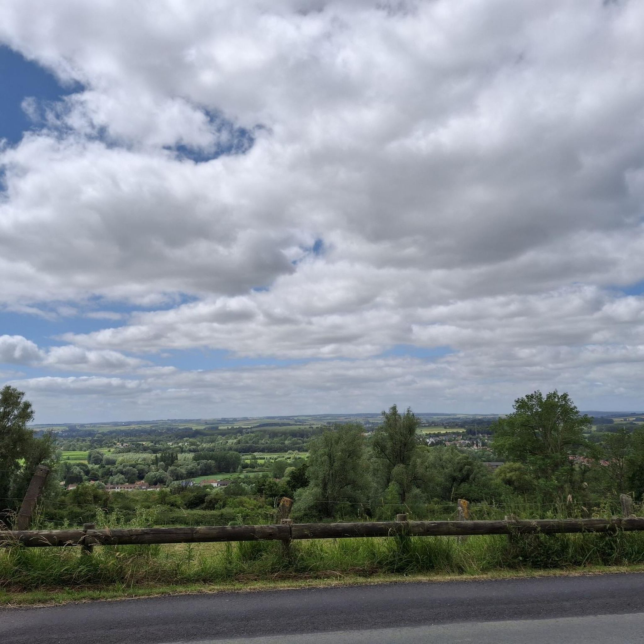
On the top of Kasselberg once stood about twenty windmills. The last mill caught fire on October 30, 1911, which could be seen far into the surrounding area. In 1947, the Ruytoor mill in Arneke was purchased by the local Syndicat d'Initiative, to be opened to the public on July 14, 1949. The mill has two different installations: it functions as a gristmill, which produces organic flour. An electric installation functions as an oil mill, for the production of both rapeseed oil and linseed oil. Near the mill, there is an orientation table and a statue of Maréchal Foch.
1
0


Frequently Asked Questions
How many road cycling routes are available around Ruminghem?
There are over 20 road cycling routes available around Ruminghem, offering diverse options for cyclists. These routes are highly rated by the komoot community, with an average score of 4.3 stars from over 50 reviews.
What is the terrain like for road cycling in Ruminghem?
The terrain around Ruminghem is primarily a maritime plain, characterized by generally flat or gently rolling landscapes. This makes for accessible road cycling with fewer strenuous climbs, allowing riders to cover distances comfortably while enjoying the natural and historical sights.
Are there routes suitable for beginners or families?
Yes, Ruminghem offers several easy road cycling routes perfect for beginners or families. For example, the Channel loop from Ruminghem is an easy 29.8-mile (47.9 km) path that follows the extensive network of canals and waterways, offering tranquil views without significant elevation changes.
What natural features or landmarks can I see along the road cycling routes?
Road cycling routes in Ruminghem often pass through scenic areas. You can expect to see the peaceful Bois de Ruminghem and the larger Forêt d'Eperlecques, offering shaded sections. The region is also defined by the River Aa and its extensive network of canals and waterways. Notable natural attractions nearby include the Romelaëre Ponds Nature Reserve, known for its rich biodiversity.
Are there historical sites to explore while cycling?
Yes, the region offers historical points of interest. Cyclists can encounter the Blockhaus d'Éperlecques, a significant WWII historical site now a museum. Additionally, the Watten Hill provides panoramic views and is often incorporated into longer routes, such as the Montée de Merckeghem – Mont de Watten loop from Ruminghem.
What do other road cyclists say about the routes in Ruminghem?
The road cycling routes in Ruminghem are highly rated by the komoot community, with an average score of 4.3 stars. Over 1,800 road cyclists have used komoot to explore the area, often praising the varied terrain, from quiet woodlands to scenic canal paths, and the generally accessible nature of the routes.
What kind of distances can I expect on road cycling routes in Ruminghem?
Routes in Ruminghem vary in length, catering to different preferences. You can find routes ranging from moderate distances like the Channel loop from Ruminghem at 29.8 miles (47.9 km) to longer excursions such as the Descent from Quercamps to Acquin – Quai du Commerce, Arques loop from Ruminghem, which covers 40.7 miles (65.5 km).
Are there any challenging road cycling routes for experienced riders?
While the region is generally flat, experienced riders can find longer, moderate routes that offer a good challenge. For instance, the Bergues, town of the Ch'tis – Mont de Watten loop from Ruminghem is a substantial 66.3-mile (106.7 km) route that provides a longer endurance test and includes some elevation gain.
Can I find routes that follow waterways or canals?
Absolutely. The region around Ruminghem is characterized by an extensive network of canals and waterways, including the River Aa. Many routes, like the Channel loop from Ruminghem, are specifically designed to follow these scenic aquatic elements, offering tranquil views and flat paths.
Are there any circular road cycling routes?
Yes, many of the road cycling routes around Ruminghem are designed as loops, allowing you to start and finish at the same point. Examples include the Superbe route – Bierne Gate loop from Ruminghem and the Montée de Merckeghem – Mont de Watten loop from Ruminghem, providing convenient options for exploration.
What is the best time of year for road cycling in Ruminghem?
The best time for road cycling in Ruminghem is generally during the spring, summer, and early autumn months (April to October). During these periods, the weather is typically milder and more stable, making for pleasant riding conditions across the maritime plain and through the woodlands.
Are there places to stop for refreshments along the routes?
While specific cafes are not detailed for every route, the region's villages and towns, including Ruminghem itself, offer opportunities to find local cafes and restaurants. Planning your route to pass through these settlements can provide convenient stops for refreshments and a taste of local hospitality.
Most popular attractions around Ruminghem

Get inspired with the komoot mobile app


Explore more
Browse the best Road cycling routes in other regions.
