The best mountain hikes around Vaison-La-Romaine
5.0
(6)
14
hikers
3
hikes
Mountaineering around Vaison-La-Romaine offers routes through the distinctive Dentelles de Montmirail mountain range, characterized by its jagged limestone peaks and vineyards. The region features varied terrain, from rocky ascents to paths winding through Mediterranean vegetation. Elevation gains are moderate, providing a range of challenges for mountaineers.
Best mountaineering routes around Vaison-La-Romaine
- The most popular mountaineering route is Chemin de Cayron – Dentelles de Montmirail loop from Gigondas, a 3.0 miles (4.9 km) trail that takes 1 hour 47 minutes…
Last updated: October 11, 2026
5.0
(2)
10
hikers
4.90km
01:47
230m
230m
Hard mountaineering route. Great for any fitness level. Sure-footedness, sturdy shoes and alpine experience required.
5.0
(2)
2
hikers
9.89km
03:03
370m
360m
Moderate mountaineering route. Good fitness required. Easily-accessible paths. Suitable for all skill levels.

5.0
(2)
2
hikers
11.7km
03:57
480m
480m
Hard mountaineering route. Good fitness required. Sure-footedness, sturdy shoes and alpine experience required.
Our route recommendations are based on thousands of hikes, rides, and runs completed by other people on komoot.
Start today with a free account
Your next adventure awaits.
Popular around Vaison-La-Romaine
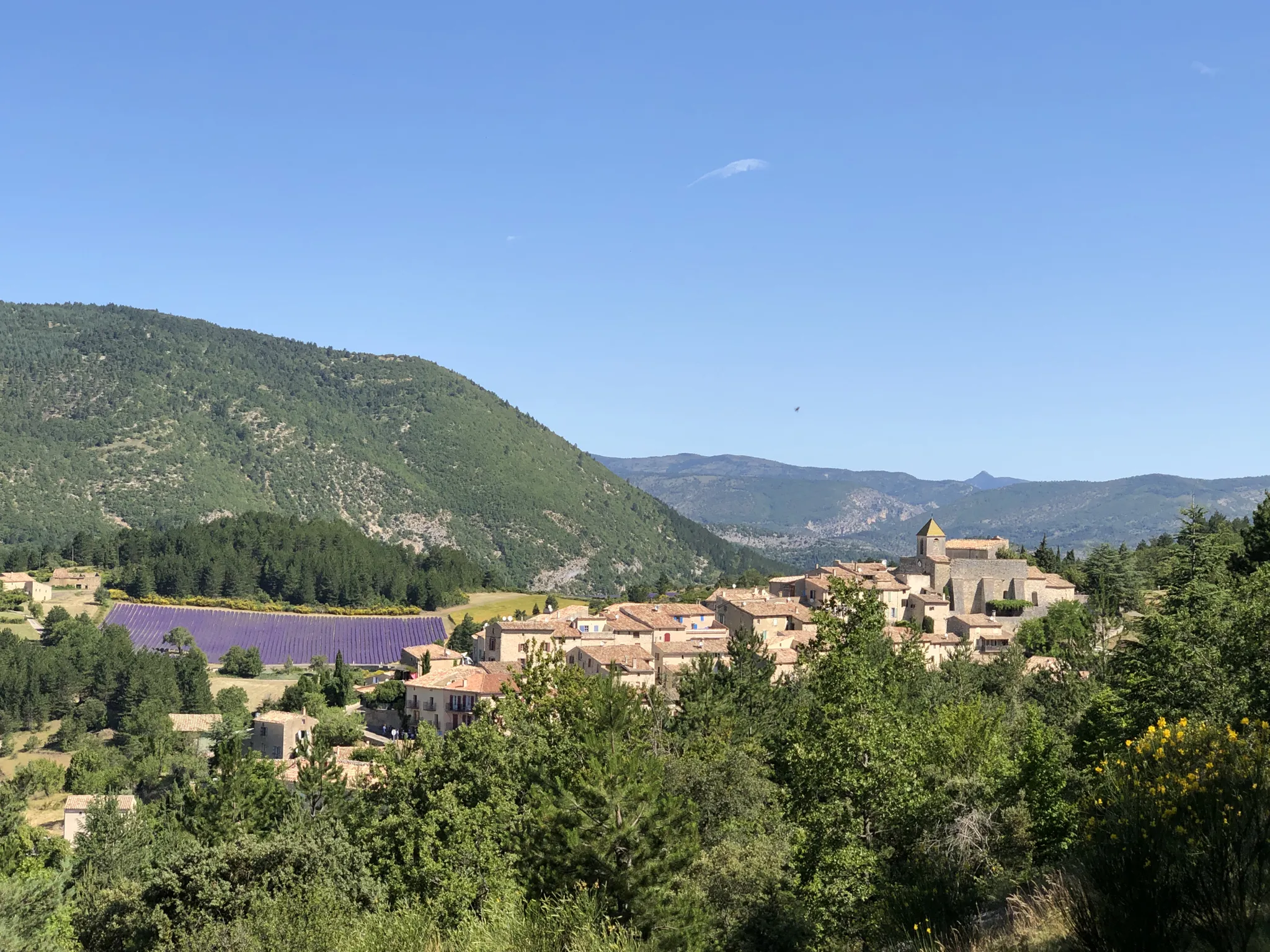
Exceptional natural landscapes — La Grande Traversée de Vaucluse à VTT
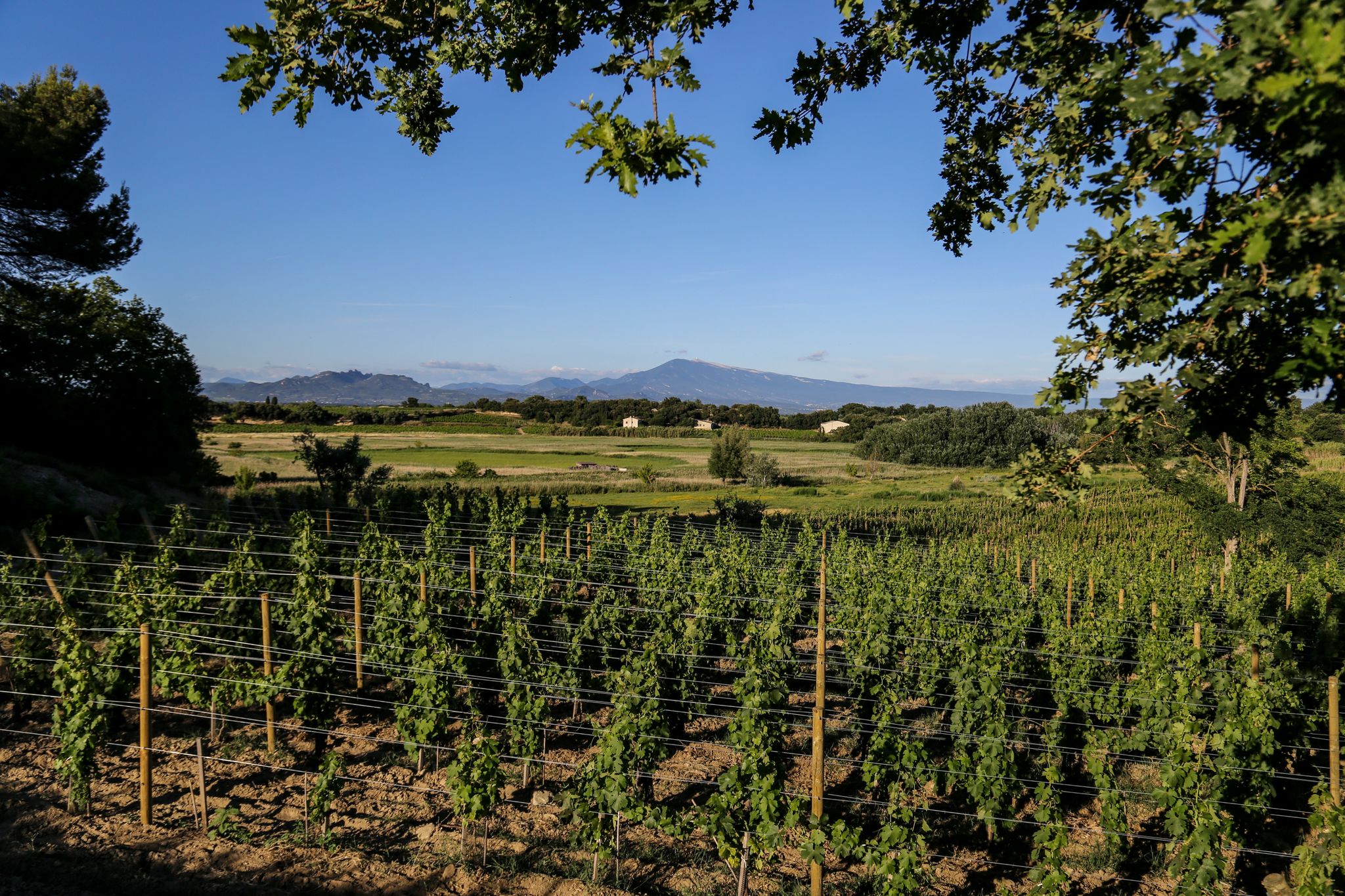
Cycling and wine – Côtes-du-Rhône tour
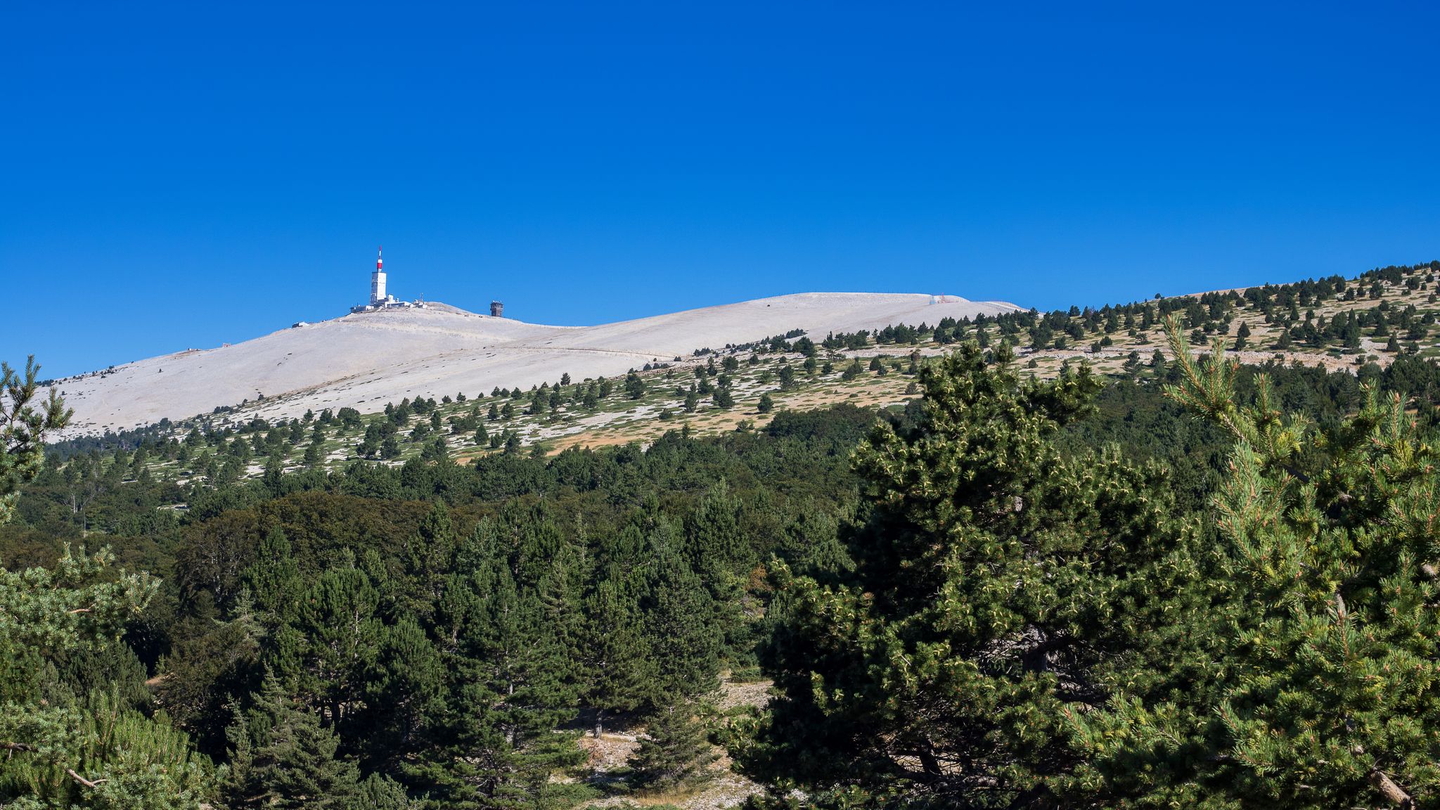
The glittering mountain – Tour of Mount Ventoux
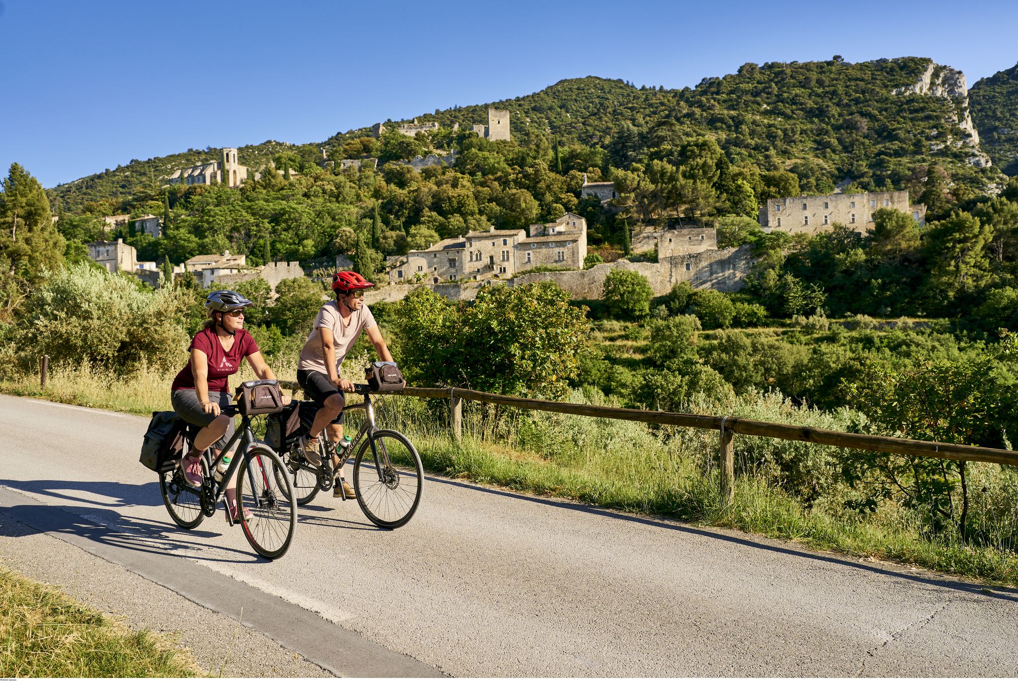
Epic landscapes in France’s Vaucluse — Provence by bike
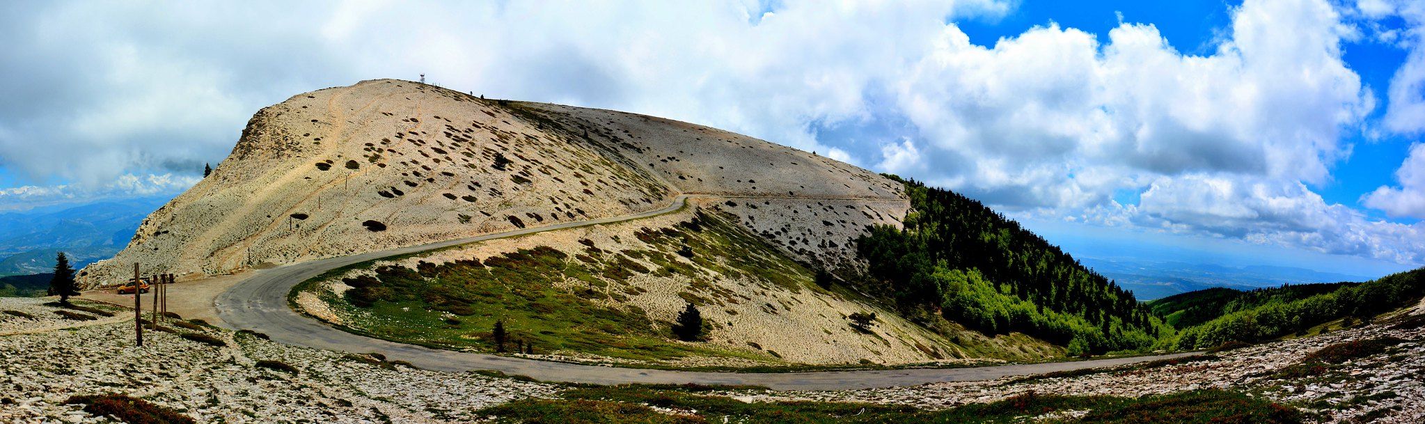
Lure and Ventoux – cycling the two mountains of Provence in France
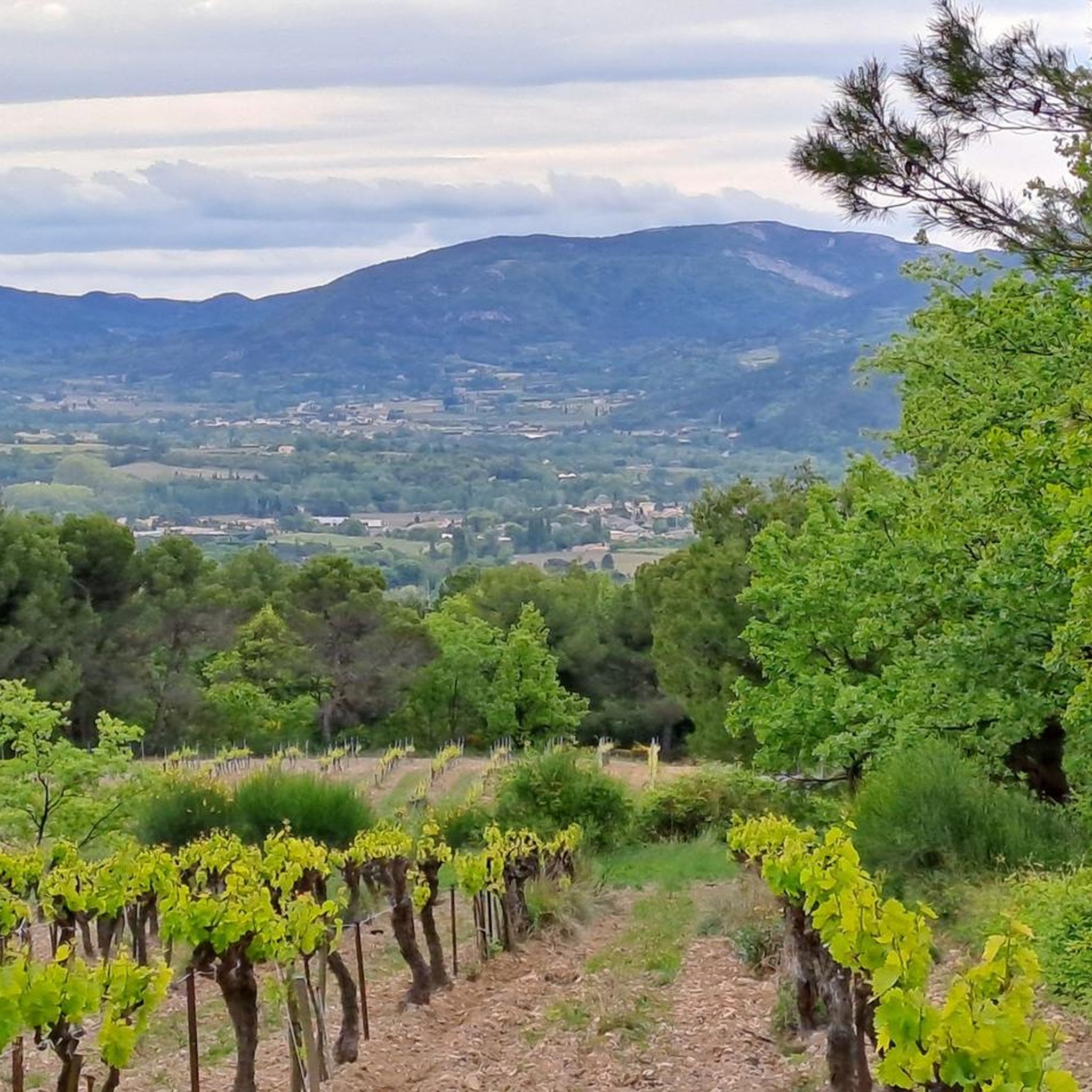
Road Cycling Routes around Vaison-La-Romaine
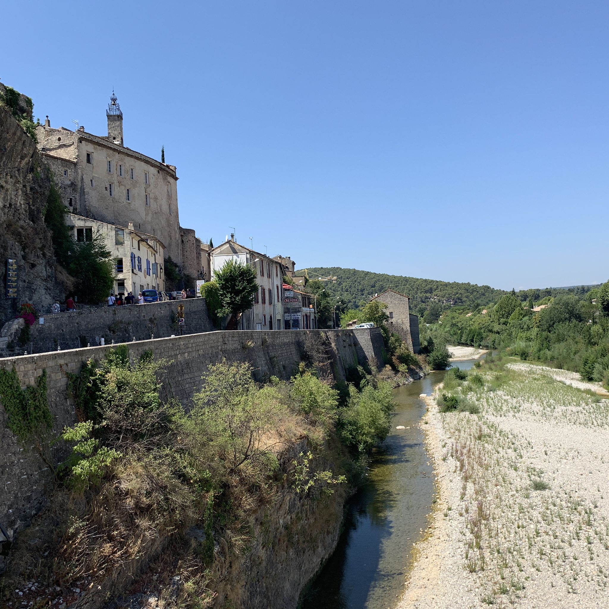
Cycling around Vaison-La-Romaine
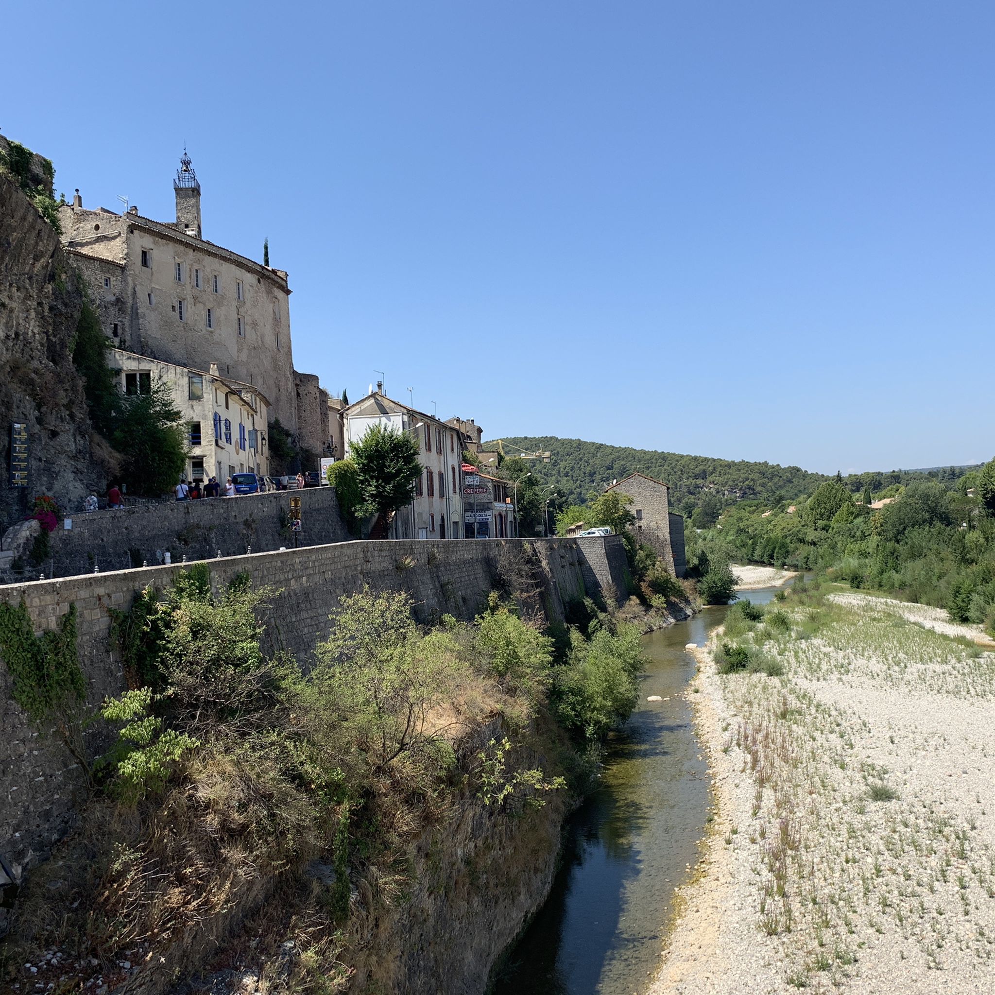
Hiking around Vaison-La-Romaine
Running Trails around Vaison-La-Romaine
MTB Trails around Vaison-La-Romaine
Other adventures around Vaison-La-Romaine


Tips from the Community

Attention if you do the blue or pink marked hike. Some difficult passages for children. From around 7-8 years old, difficult passages in climbing mode. Otherwise, magnificent landscape
0
0
Very steep (vertical) climb after about 2 km can be avoided by a small detour.
0
0


hiking shoes recommended as it is steep.
0
0

tough climbing and scrambling in some parts but doable, the views are really beautiful!
0
0

Access via a small goat path to the summit of the Dentelles, 360° viewpoint over the Comtat Venaissin
1
0

nice rest area with the possibility to climb the Rocher du MIDI on foot
1
0

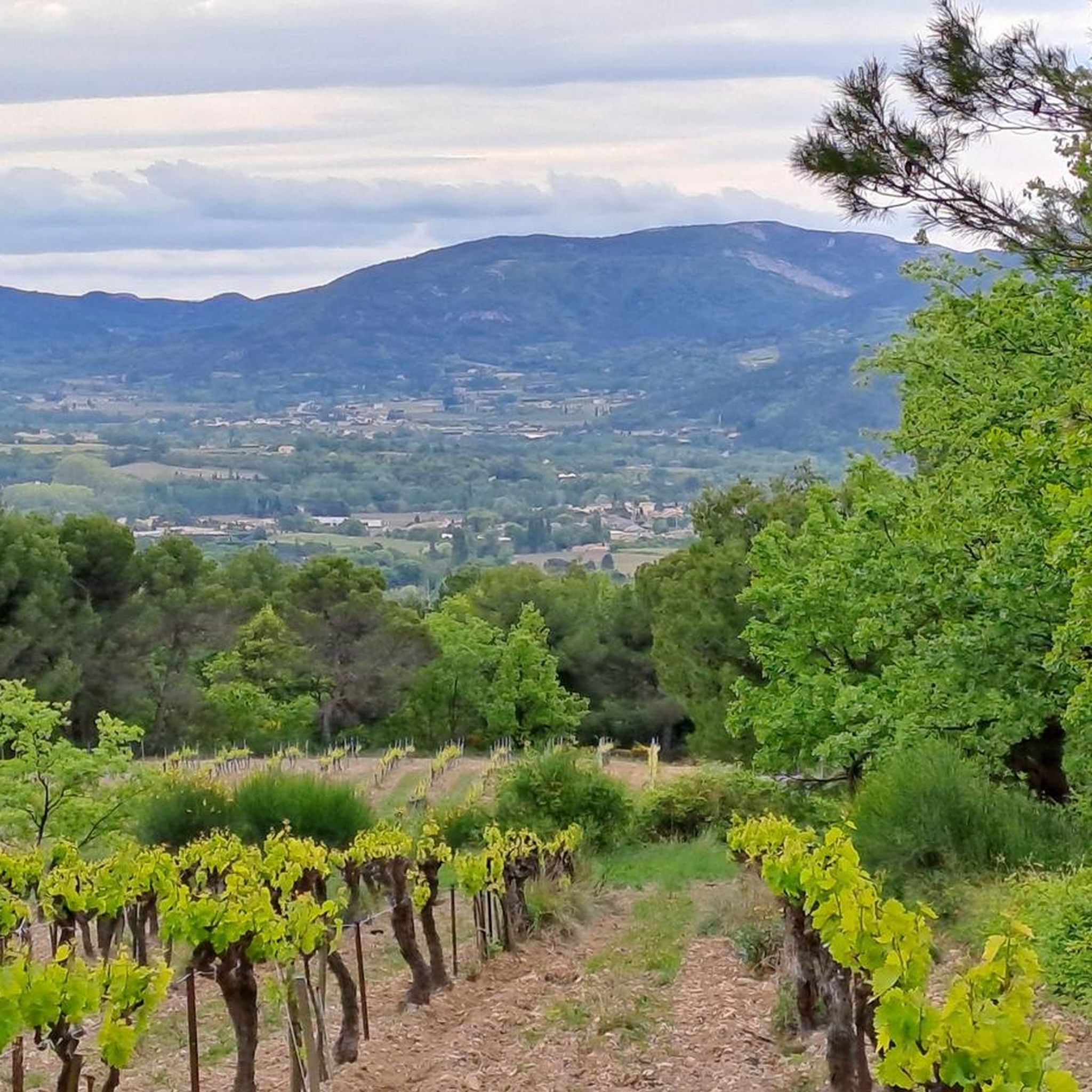
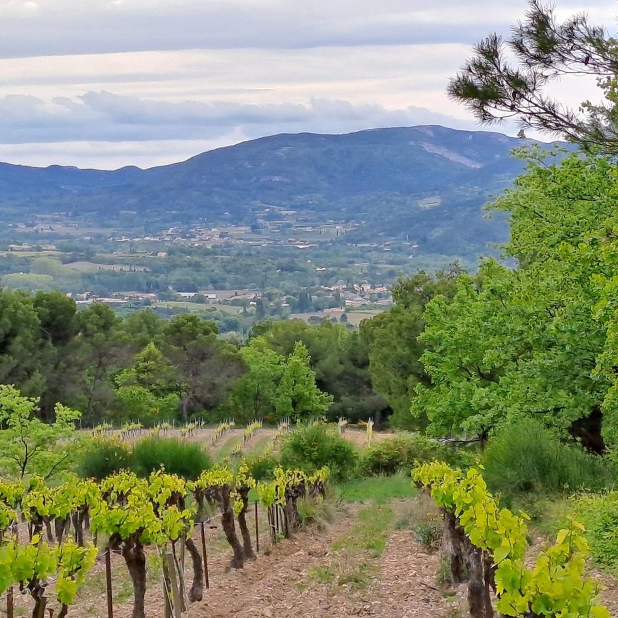
Here you are in the heart of the Dentelles de Montmirail, a series of three limestone ridges. The view of the rocks, forests and vineyards is breathtaking.
4
0
Frequently Asked Questions
How many mountaineering routes are available around Vaison-La-Romaine?
There are at least 4 distinct mountaineering routes detailed for the Vaison-La-Romaine area, offering a variety of experiences through the Dentelles de Montmirail.
What makes mountaineering in Vaison-La-Romaine unique?
Mountaineering around Vaison-La-Romaine is defined by its distinctive Dentelles de Montmirail mountain range, characterized by jagged limestone peaks and surrounding vineyards. The routes offer varied terrain, from rocky ascents to paths winding through Mediterranean vegetation, providing a unique blend of natural beauty and moderate challenges.
Are there easy mountaineering routes for beginners in Vaison-La-Romaine?
While the routes listed tend to be moderate to difficult, the area does offer options for varying skill levels. For a moderate challenge, consider the Chemin de Cayron – Col du Cayron loop from Lafare, which is 6.1 miles (9.9 km) long and features varied terrain through the foothills of the Dentelles.
Can I find challenging mountaineering routes near Vaison-La-Romaine?
Yes, there are several challenging routes. For instance, the The Dentelles de Montmirail – Chemin de Cayron loop from Gigondas is a difficult 7.3 miles (11.7 km) trail leading through the heart of the Dentelles de Montmirail. Another challenging option is the Chemin de Cayron – Dentelles de Montmirail loop from Gigondas, a 3.0 miles (4.9 km) route with significant elevation changes.
What is the best time of year for mountaineering around Vaison-La-Romaine?
The Mediterranean climate of Vaison-La-Romaine makes spring and autumn ideal for mountaineering. Temperatures are milder, and the landscapes are vibrant. Summer can be very hot, so early morning starts are recommended if you hike during this season. Winter offers a different, often quieter experience, but some routes may be slippery or require extra caution due to colder conditions.
What equipment should I bring for mountaineering in Vaison-La-Romaine?
Given the rocky terrain of the Dentelles de Montmirail, sturdy hiking boots with good ankle support are essential. We also recommend bringing plenty of water, sun protection (hat, sunscreen), a map or GPS device, and appropriate layers of clothing as weather conditions can change. Trekking poles can be helpful on steeper sections.
Are there any circular mountaineering routes in the area?
Yes, several routes are designed as loops. Examples include the Chemin de Cayron – Dentelles de Montmirail loop from Gigondas and the Chemin de Cayron – Col du Cayron loop from Lafare, allowing you to start and end at the same point without retracing your steps.
What can I see along the mountaineering routes near Vaison-La-Romaine?
The routes offer stunning views of the Dentelles de Montmirail and the surrounding vineyards. You can also find various viewpoints, such as the View of the Dentelles de Montmirail and Mont Ventoux. The iconic Dentelles de Montmirail themselves are a major natural monument to explore.
Are there places to park near the mountaineering trails?
Many trailheads in the Vaison-La-Romaine region, especially those starting from villages like Gigondas or Lafare, typically offer designated parking areas for hikers. It's always advisable to check local signage upon arrival for specific parking regulations.
What do other mountaineers say about the routes in Vaison-La-Romaine?
The mountaineering routes in Vaison-La-Romaine are highly rated by the komoot community, with an average score of 4.6 stars from around 8 reviews. Mountaineers often praise the unique limestone formations, the scenic vineyard landscapes, and the rewarding viewpoints along the trails.
Are there any notable mountain passes or peaks nearby that I can explore?
Absolutely. The region is home to several significant mountain passes and peaks. You can explore passes like Col de la Madeleine or Suzette Pass. For peaks, the famous Mont Ventoux is within reach, and you can also find viewpoints like the Mission Cross at the summit of Saint-Amand.
Most popular routes around Vaison-La-Romaine
Most popular attractions around Vaison-La-Romaine

Get inspired with the komoot mobile app


Explore more
Browse the best Mountain Hikes & Routes in other regions.
