The best running trails around Saint-Martin-Du-Var
4.3
(57)
4,659
runners
202
runs
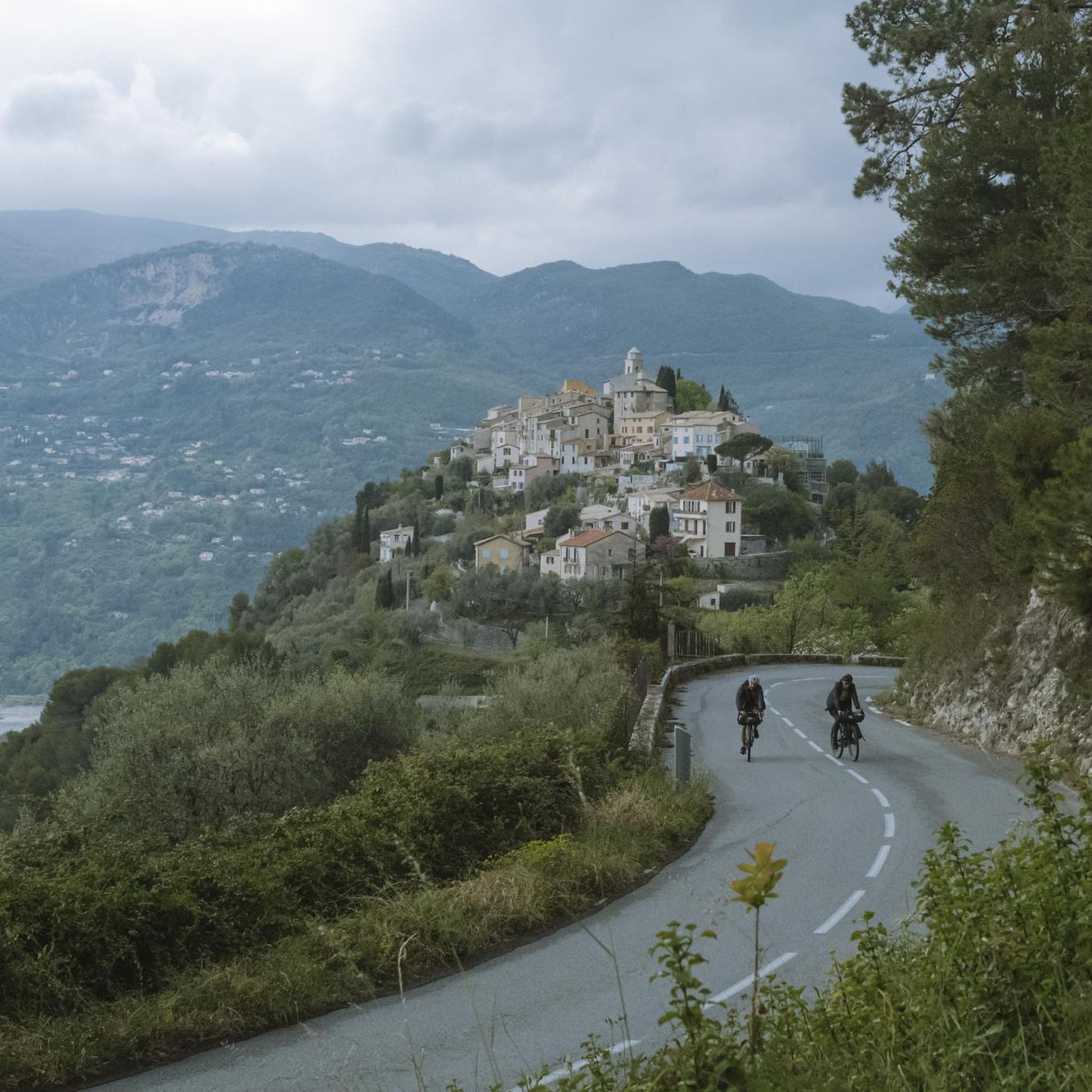
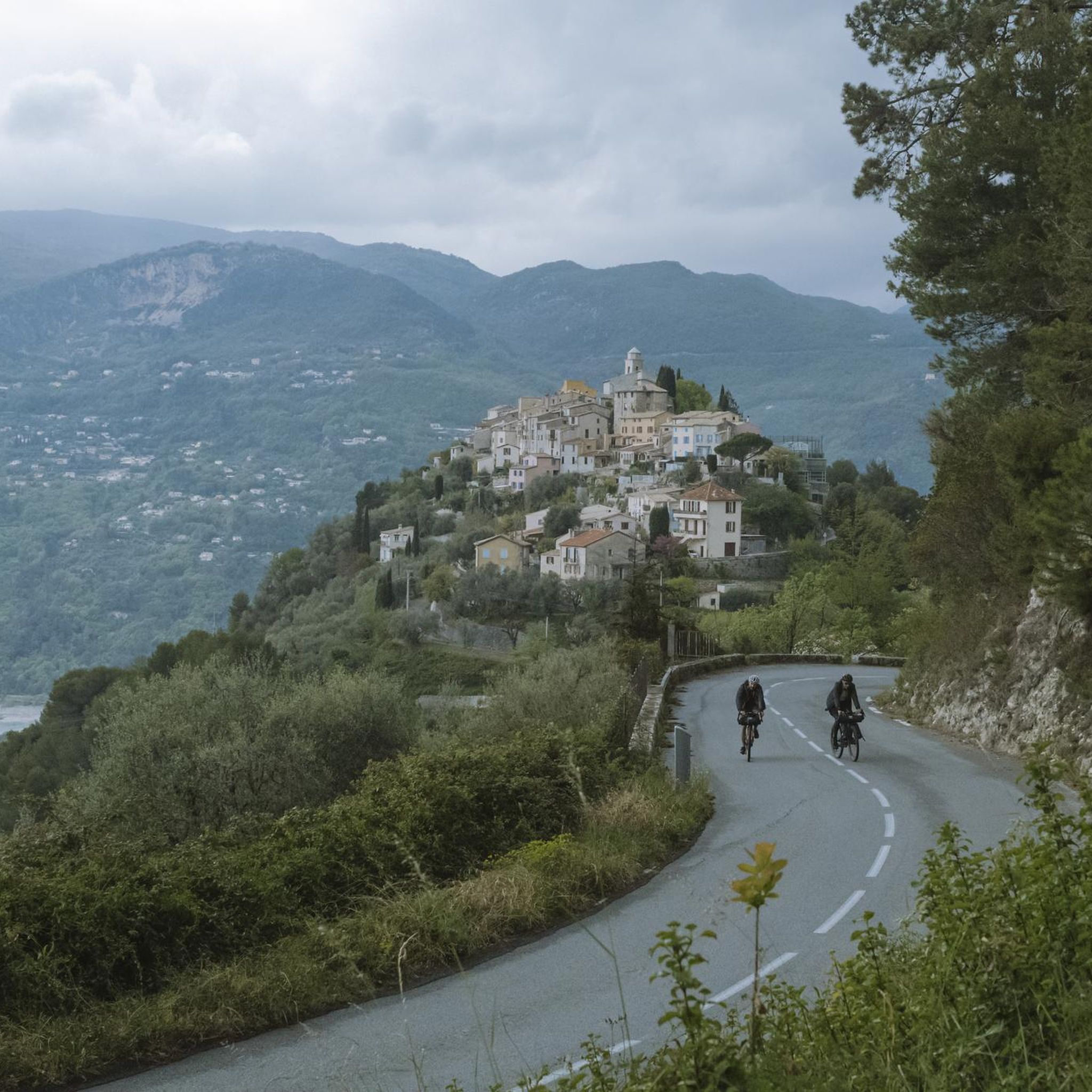
Jogging routes around Saint-Martin-Du-Var are set within the Alpes-Maritimes department, offering varied terrain for outdoor activities. The region features an altitude range from 88 to 403 meters, providing diverse inclines and declines suitable for different running preferences. Situated at the confluence of the Var, Estéron, Vésubie, and Tinée valleys, the area offers scenic views from higher points. Green spaces and existing trails for walking and hiking provide accessible environments for runners.
Best jogging routes around Saint-Martin-Du-Var
- The most popular jogging…
Last updated: June 28, 2026
71
runners
4.69km
00:30
30m
20m
Easy run. Great for any fitness level. Mostly paved surfaces. Suitable for all skill levels.
51
runners
3.82km
00:24
20m
10m
Easy run. Great for any fitness level. Mostly paved surfaces. Suitable for all skill levels.

Sign up for free
12
runners
7.95km
00:49
20m
20m
Moderate run. Good fitness required. Mostly paved surfaces. Suitable for all skill levels.
12
runners
28.1km
04:13
1,440m
1,440m
Hard run. Very good fitness required. Mostly paved surfaces. Suitable for all skill levels.
5
runners
9.31km
01:05
230m
230m
Moderate run. Good fitness required. Mostly paved surfaces. Suitable for all skill levels.
Get access to more routes and recommendations from other explorers.
Sign up for free
Already have an account?
Our route recommendations are based on thousands of hikes, rides, and runs completed by other people on komoot.
Start today with a free account
Your next adventure awaits.
Login or Signup
Tips from the Community

The Baou de Saint-Jeannet peaks at 802 meters, offering a spectacular view of the Côte d'Azur and the Nice hinterland. This limestone massif is popular with hikers and climbers for its numerous climbing routes and steep trails.
3
1

Great little hike 👍🏽👌🏾
3
0

An exceptional view for a little effort. Very crowded on weekends
1
0

Very nice view towards the Mediterranean Sea and the surrounding national park. early in the morning in good weather you should even be able to see the tip of Corsica. The early bird catches the prospect.
0
0
A simple and easy outing for an exceptional view. Unfortunately very busy on weekends. Nice panorama for a little effort
2
0

Breathtaking panorama, which deserves the effort of this medium level climb.
6
1
SAINT JEANNET SEEN FROM BAOU Exceptional dominant view from the Baou de Saint Jeannet. This site is simply fantastic... This spot is simply admirable, and the panoramas are breathtaking.
3
2
Frequently Asked Questions
How many running routes are available around Saint-Martin-Du-Var?
There are nearly 200 running routes available around Saint-Martin-Du-Var, offering a wide variety of options for different skill levels and preferences. You'll find everything from easy, flat paths to more challenging trails with significant elevation changes.
What kind of terrain can I expect on jogging trails in Saint-Martin-Du-Var?
Jogging routes in Saint-Martin-Du-Var feature varied terrain, with altitudes ranging from 88 to 403 meters. This means you can expect a mix of gentle inclines, declines, and flat sections. The area is situated at the confluence of several valleys, offering scenic views and green spaces for an engaging running experience.
Are there any easy running routes suitable for beginners or a relaxed jog?
Yes, Saint-Martin-Du-Var offers several easy running routes perfect for beginners or those looking for a relaxed jog. For instance, the Lake Broc loop from Le Broc is an easy 2.8-mile (4.5 km) trail that takes about 28 minutes to complete, offering a gentle path around the lake.
Can I find circular running routes in the area?
Absolutely. Many of the running routes around Saint-Martin-Du-Var are designed as loops, allowing you to start and finish in the same location. An example is the Running loop from Saint-Martin-du-Var, an easy 2.4-mile (3.8 km) path that provides a straightforward run through the local surroundings.
What do other runners enjoy most about jogging in Saint-Martin-Du-Var?
The running routes in Saint-Martin-Du-Var are highly rated by the komoot community, with an average score of 4.3 stars from over 50 reviews. Runners often praise the varied terrain, the magnificent valley views, and the accessible green spaces that make for an enjoyable outdoor experience.
Are there any notable landmarks or points of interest I can see while running?
Yes, you can incorporate cultural and natural landmarks into your runs. The historic village itself, with its 18th and 19th-century squares and the Saint-Roch church, offers interesting sights. Additionally, you might pass by highlights such as Fort du Mont Chauve d'Aspremont or enjoy views towards various mountain passes and summits in the wider region.
Are there any longer or more challenging running trails for experienced runners?
For experienced runners seeking a challenge, Saint-Martin-Du-Var offers numerous difficult routes. One such option is the Mont Vial – Col du Serse loop from Pont Charles Albert, a demanding 19.5-mile (31.4 km) trail with significant elevation changes, perfect for a longer, more intense run.
Are there running routes near Lake Broc?
Yes, Lake Broc is a popular spot for runners. Besides the easy loop from Le Broc, another option is the Lake Broc loop from Carros, a moderate 4.9-mile (7.9 km) trail that leads through varied terrain near the lake, typically completed in about 49 minutes.
What is the best time of year for jogging in Saint-Martin-Du-Var?
The Provence-Alpes-Côte d'Azur region generally offers pleasant weather for outdoor activities for much of the year. While specific seasonal details for Saint-Martin-Du-Var aren't provided, the varied terrain and green spaces suggest that spring and autumn would be ideal for comfortable temperatures, though summer mornings and evenings can also be very enjoyable.
Are there any running routes that offer good viewpoints?
Given its location at the confluence of the Var, Estéron, Vésubie, and Tinée valleys, Saint-Martin-Du-Var offers magnificent views from the village heights and along many trails. Routes with higher elevation gains, such as the Mont Vial – Col du Serse loop, are likely to provide expansive vistas of the surrounding landscapes.
Are there any moderate running routes for those looking for a bit more challenge than an easy jog?
Certainly. For runners seeking a moderate challenge, the Running loop from Le Broc is a good option. This 5.8-mile (9.3 km) route involves some elevation gain, making it a more engaging run than the easier flat loops.
Most popular routes around Saint-Martin-Du-Var
Most popular attractions around Saint-Martin-Du-Var

Get inspired with the komoot mobile app


Explore more
Browse the best Running Trails & Routes in other regions.
